The strength of Hurricane Polo off the coast of Mexico to date has been amazing given that:
- At 4 am on Monday 21 September, this was simply a tropical depression with thunderstorms clustered around a low pressure system off the coast of Southern Mexico.
- At 4 am on Tuesday 22 September (One day later), the storm had already morphed into a reasonably strong Category 1 system with winds at the core of at least 130 km per hour.
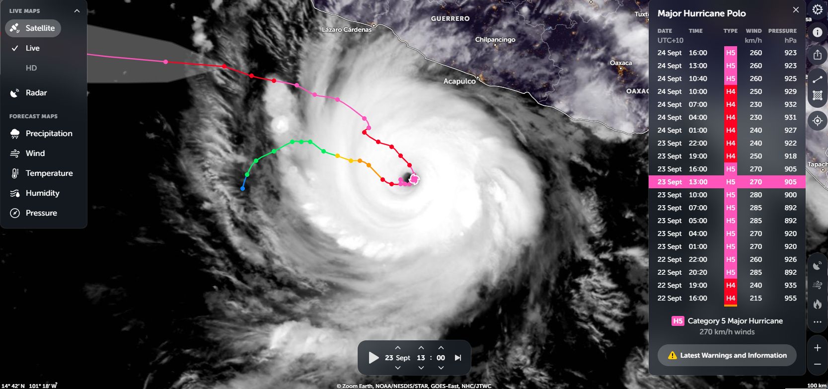
- By 10 pm later that day (Late evening) and aided by waters heated to 30C to 32C, the storm had morphed into a powerful Category 5 hurricane with peak winds at the core of at least 285 km/h.
- It took just 18 hours to go from a Category 1 storm to high end storm of Category 5 on the Saffir Simpson Scale.
- The storm now holds the record for the fastest time to reach Category 5 on the Saffir Simpson Scale following its birth being around 39 hours and 9 hours faster than Hurricane Jova did in 2023.
The storm has become the second strongest east Pacific storm recorded and only surpassed by Hurricane Patricia of 2015.
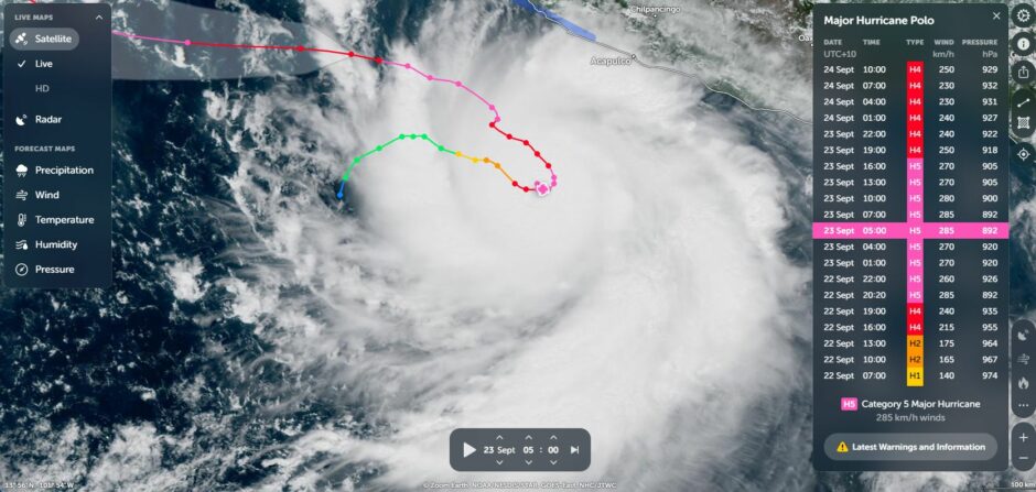
At 6 pm on the 22 September, a wind gust was calculated at 287 km/h.
At Category 5, wind speeds were recorded at 259 km/h but gusts may have reached as much as 298 km/h with a pressure of 926 mb, at 14.7°N, 101.6°W. Polo was located 300 km southwest of Acapulco, Guerrero, Mexico, moving east at 7 km/h during this period.
The storm showed some weakening following this transition but re intensified back to a Category 5 storm.
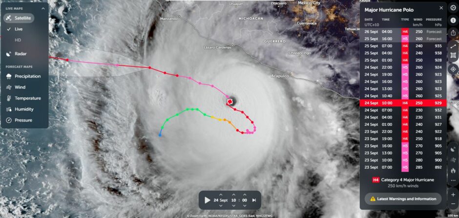
Polo returned to a Category 5 strength at 00:00 UTC on Thursday September 24 with sustained winds at the core of 259 km/h with peak gusts to 298 km/h and with a pressure of 923 mb. Polo was then located 220 km SSW of Zihuatanejo, Guerrero, Mexico, moving toward 327° at 7 km/h.
The storm is now edging north westwards and most likely will turn further northwards and make landfall at a much weaker Category 2 storm over Baja California.
Fortunately, the storm has stayed far enough out to sea during its most intense phase and a major disaster should be averted.
This part of the Pacific Ocean is prone to hurricanes and every year, ideal conditions support such storms. This year, an El Nino event may have had had an influence on this storm given that waters are heated to 32C.
The storm is remarkable in terms of its behaviour and how fast it morphed into a powerful system in such a short period of time.
The NOAA Hurricane Hunter Plane has ventured into the storm to take readings during its intense phases.
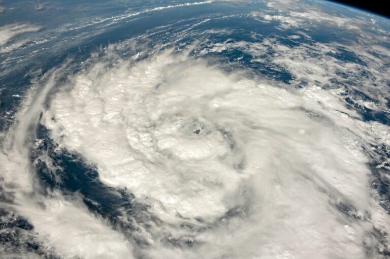
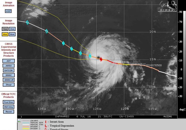
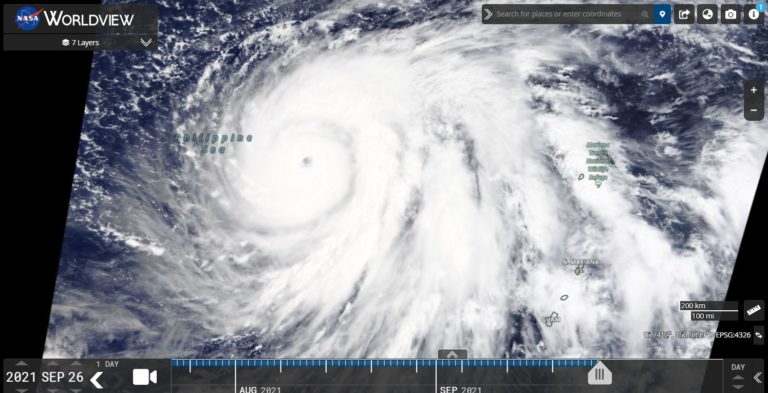
Attached are various Zoom Earth images showing the true power of this storm during its most intense phase.