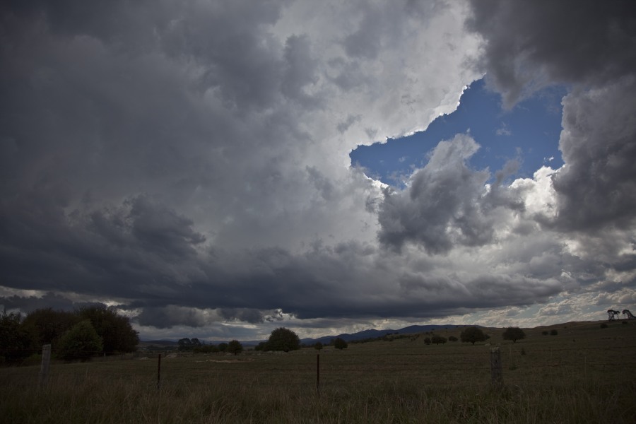
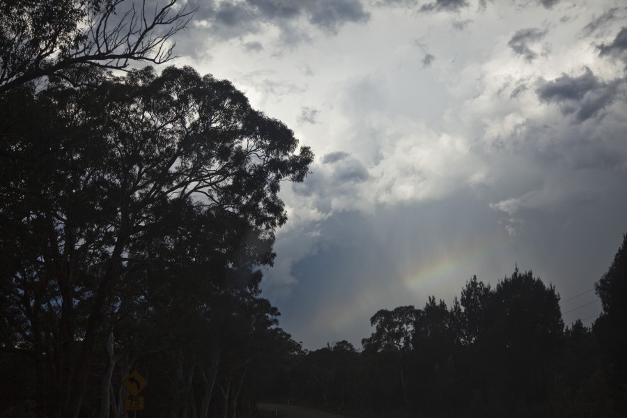
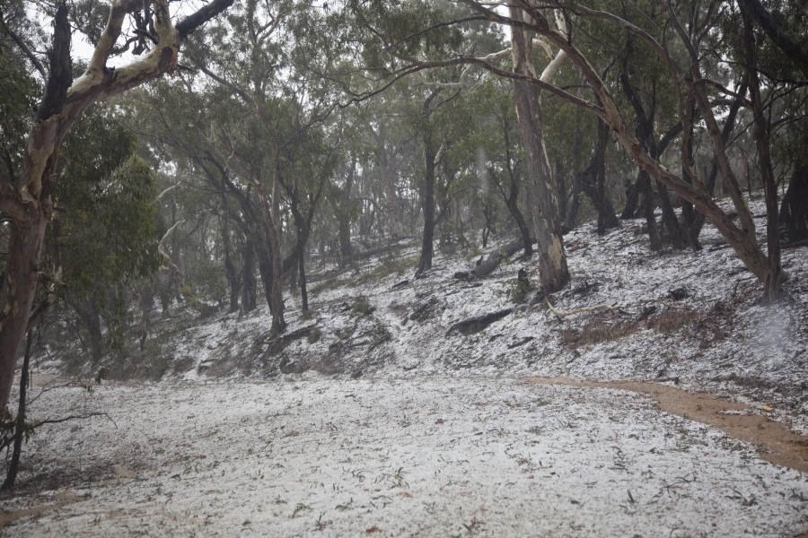
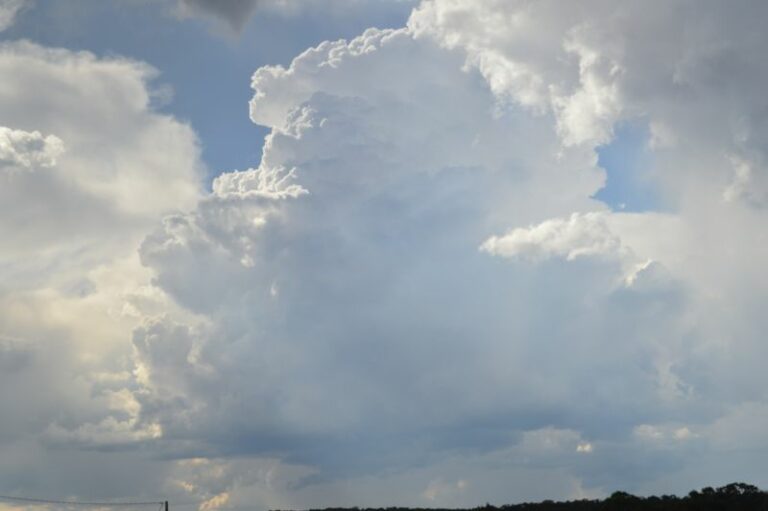
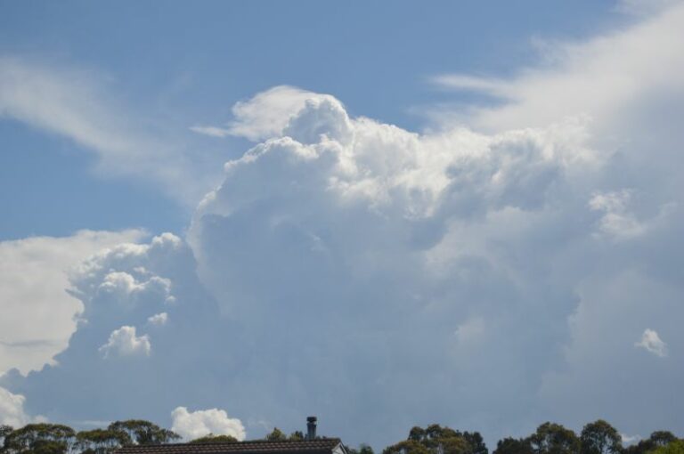
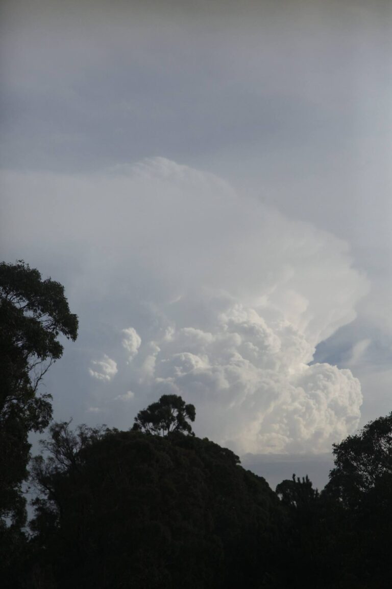
 This storm developed very rapidly once the moisture met and penetrated the originally high bases! It seemed to be a triple point or convergence between the SE winds and NE winds into the same storm.
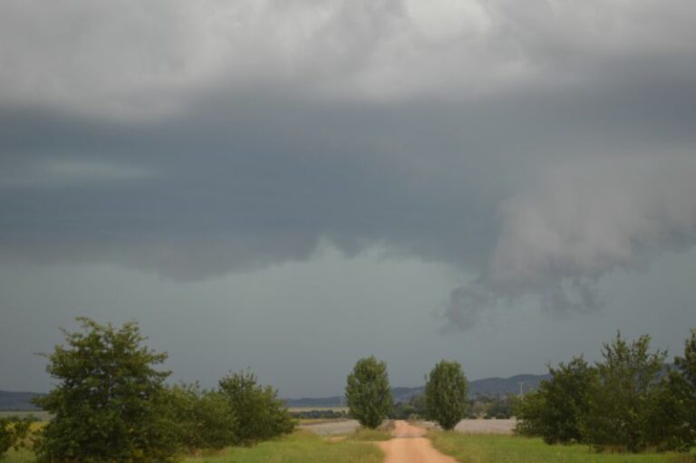
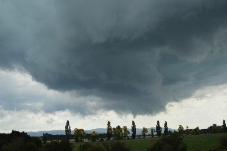
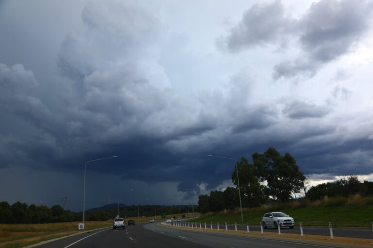
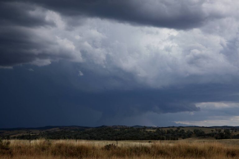
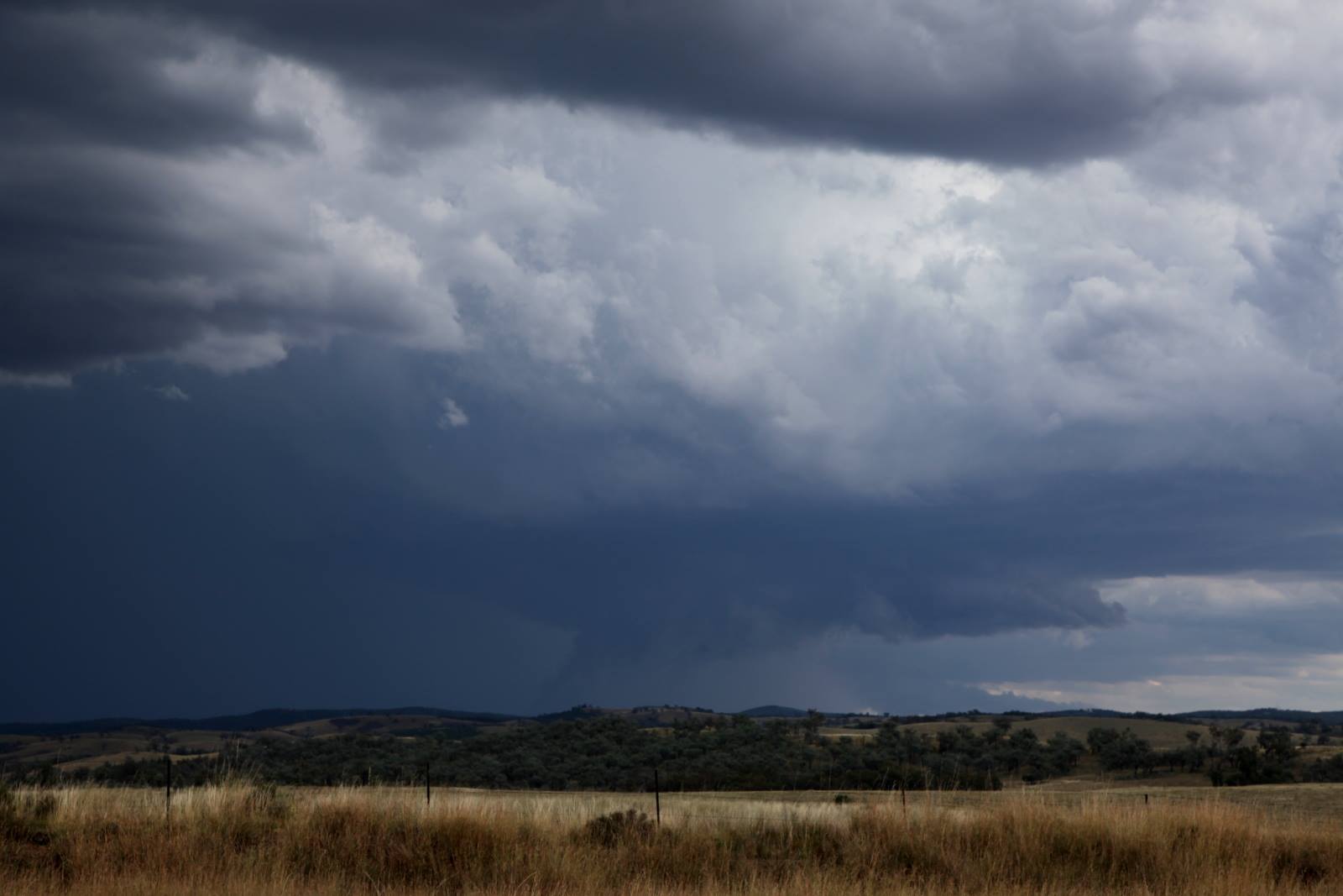
The storm rapidly sent a back-sheared and side anvil and the base became quite expansive.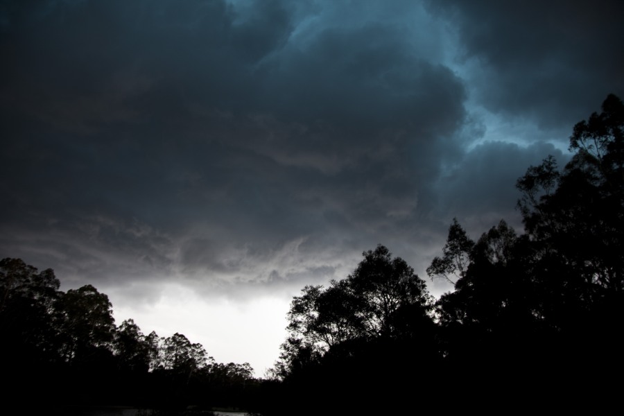 The green in this storm was quite amazing and amongst the greenest one can accomplish – the hailstones were up to the size of golf balls. Furthermore, the storm’s hail swathe path was very wide _ would probably suggest 5 to 10km wide!
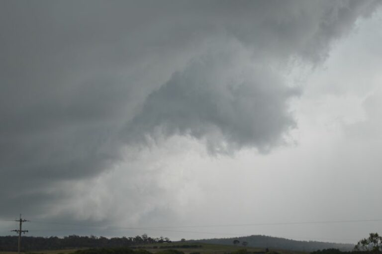
  Further north as the storm attained a nice signature on radar, the storm
 developed a wall cloud with up motion streaming rapidly into the base.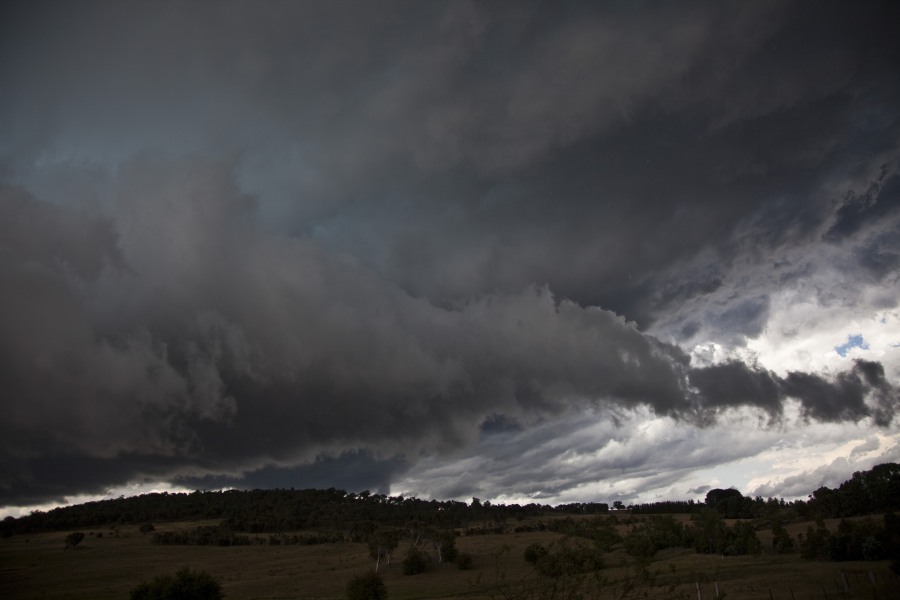
See : 128km Radar Loop for Canberra, 23:00 25/12/2013 to 23:00 26/12/2013 UTC
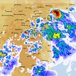 Here is the radar from Canberra of this event – you will see after the initial convection once cell develops south of Braidwood and moves NNE – long tracked!
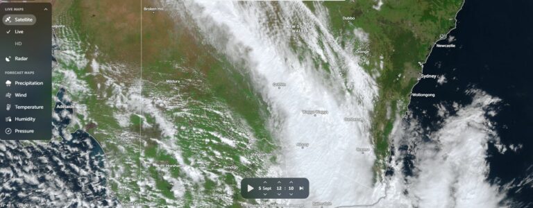



I suggested in my description that there was a SE flow and convergence with the NE wind infeed. I have a suspicion that the SE winds may have originated from an outflow boundary. Nevertheless, it was what tipped the balance for this storm to developed very rapidly!