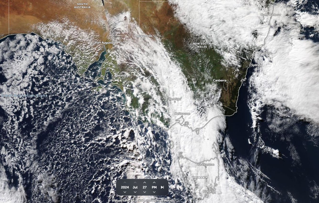
As shown on the attached satellite image (NASA Zoom Earth Saturday 27 July 2024), another strong cold front is crossing over Victoria and southwestern New South Wales with cold air behind it. The front did not produce significant rainfall but it did result in another strong cold outbreak across southern states.
Again, light snowfalls occurred across the higher elevations of the Central Tablelands.
A feature of this front were the cold maximum daytime temperatures and very cold south westerly wind gusts.
For Western Sydney, the change brought cold south westerly winds generally within the range of 40 to 60 km/h that were sustained throughout much of Sunday.
Peak wind gusts reached up to 72 km/h at Sydney Airport at 9.06 am Sunday morning.
It is noted this this event provided the coldest day of the year for Blacktown / Doonside / Horsley Park where the maximum daytime temperature struggled to reach 13.4C. This is consistent with a maximum daytime temperature of only 13.9C recorded at Sydney Airport at around 1.30 pm.
Mt Boyce West of Sydney at an elevation of 1,080 metres above sea level had a peak wind gust of 74 km/h, a maximum temperature of only 3.4C and a minimum temperature of minus 0.2C for Sunday.
Other cold maximum daytime temperatures include:
Lithgow 5.1C.
Orange 3.6C
Penrith 14.2C.
This makes it the third cold outbreak for the month of July across Southern Australia.
The same weather system brought gales and snowfall to higher elevations of Southeast Australia during Saturday and Sunday. As a result of the most recent event, snow depth at the ski resorts are now generally above 70 cm across the higher elevations.
Weather models for the next 5 days generally show a southerly air stream and probable light coastal showers impacting exposed areas of the New South Wales coast until at least Friday. As such, any warming trend is not expected until at least Saturday 3 August.