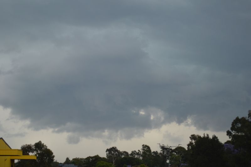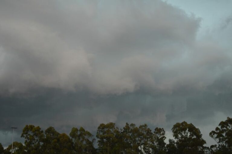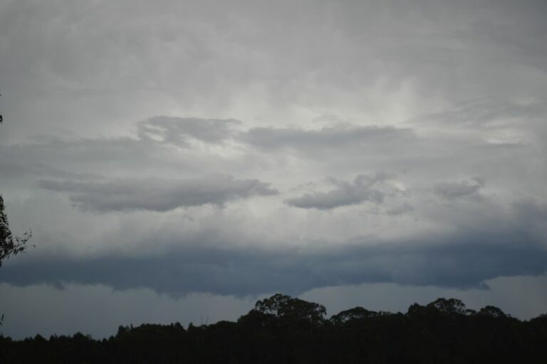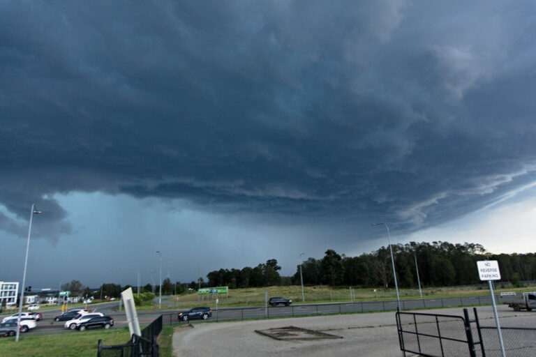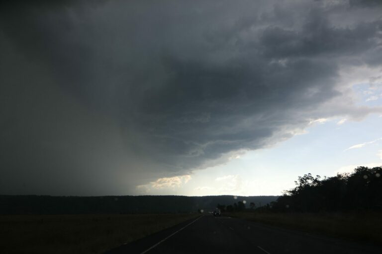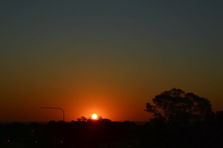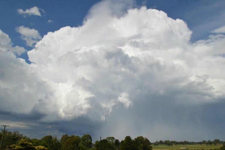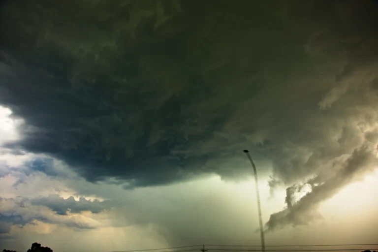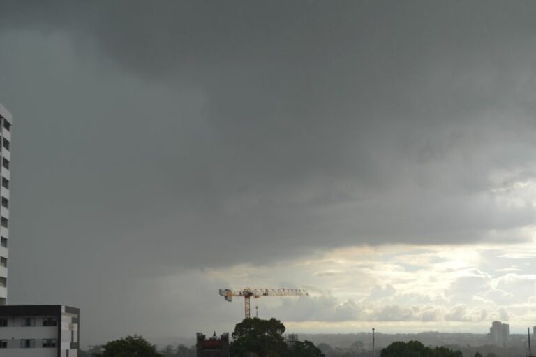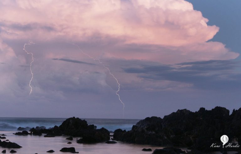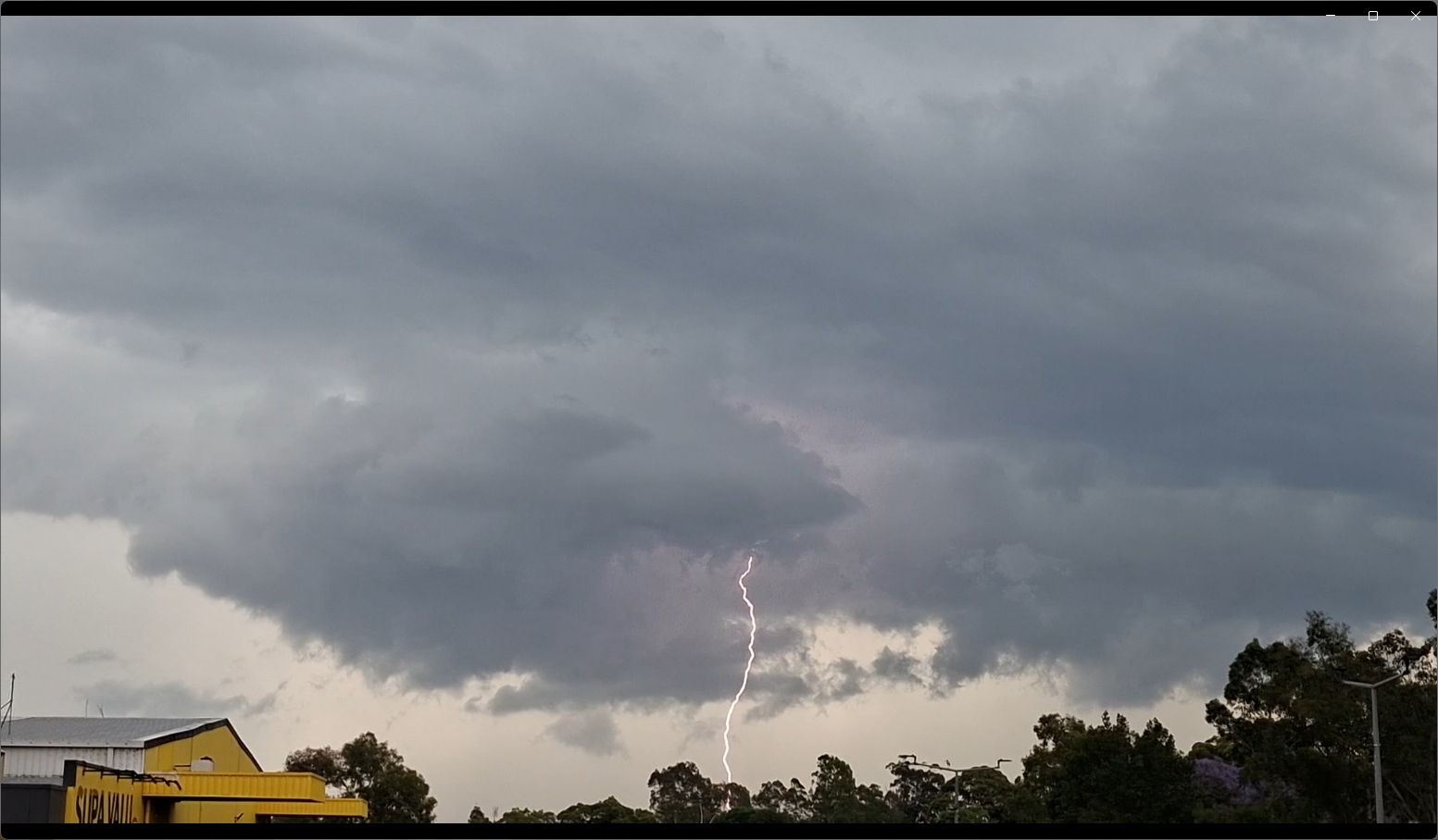
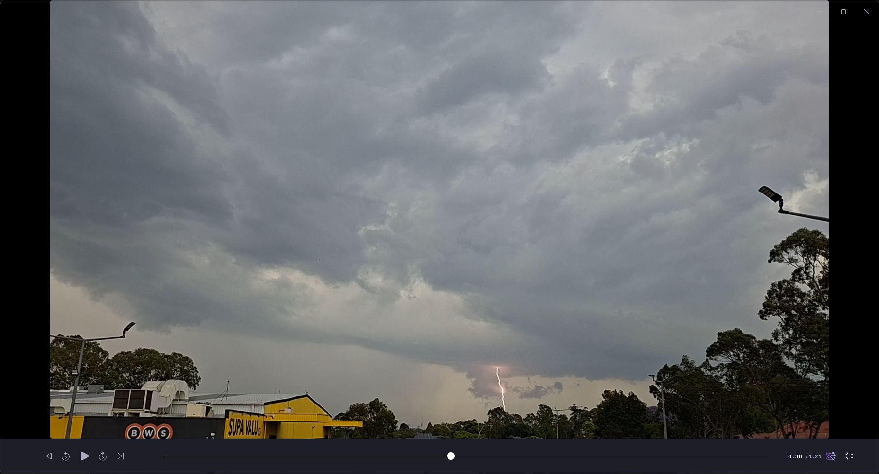
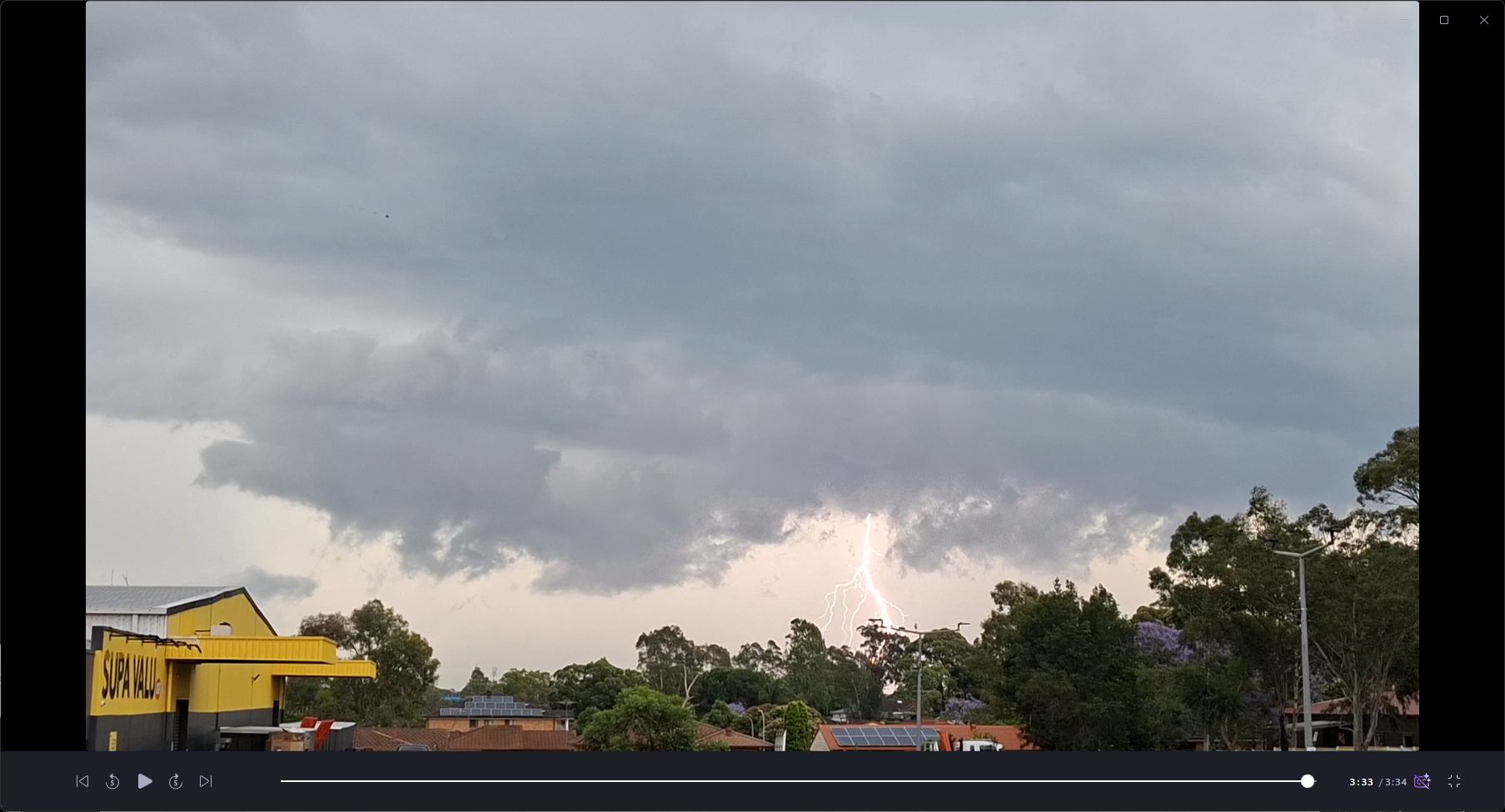
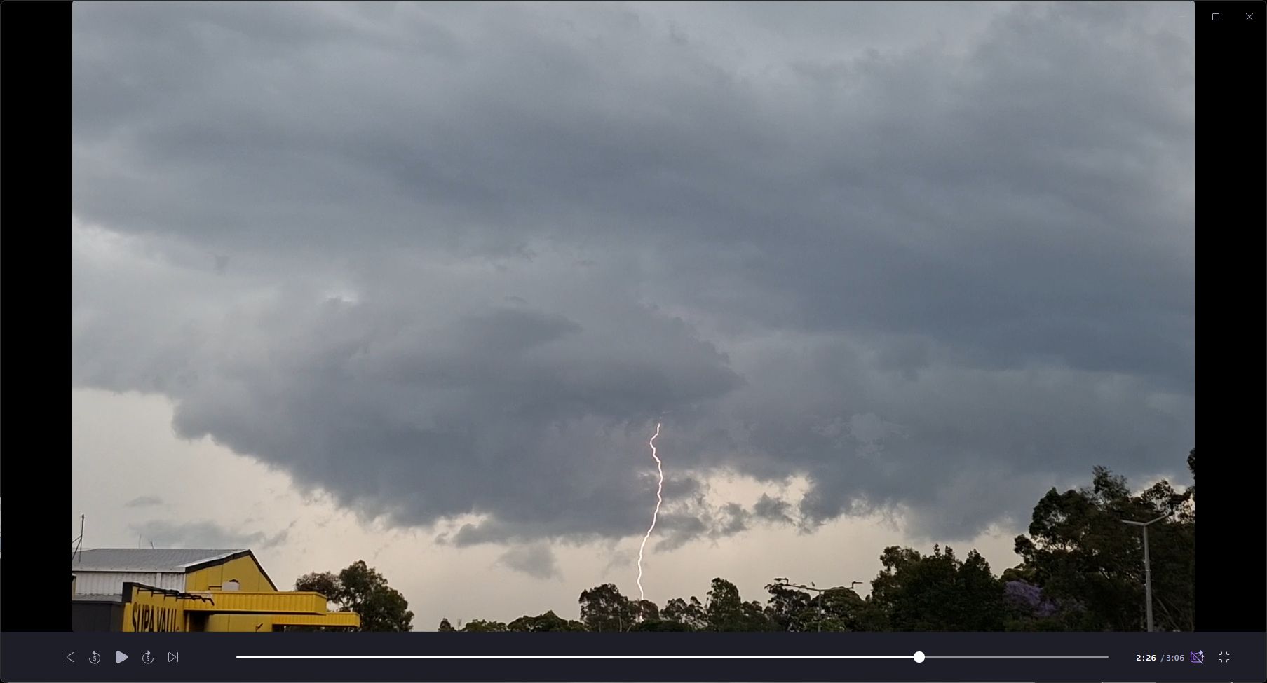
A lightning active storm crossed over Western Sydney late Friday afternoon. While non severe in nature, it did produce a high number of cloud to ground lightning strikes.
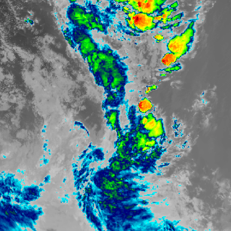
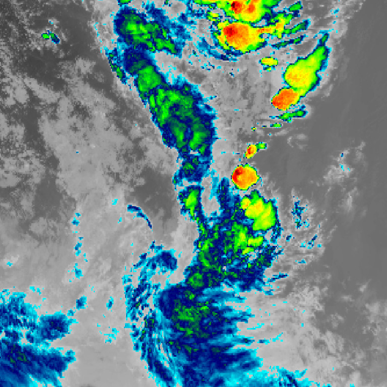
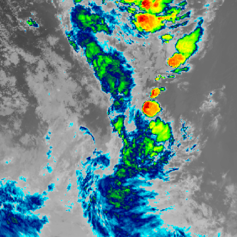
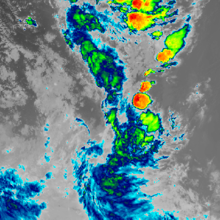
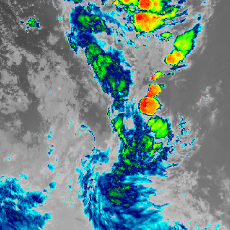
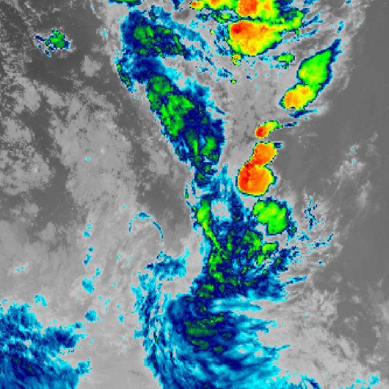
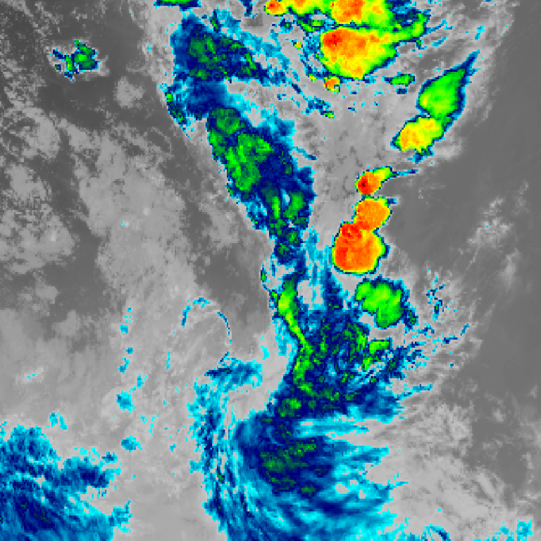
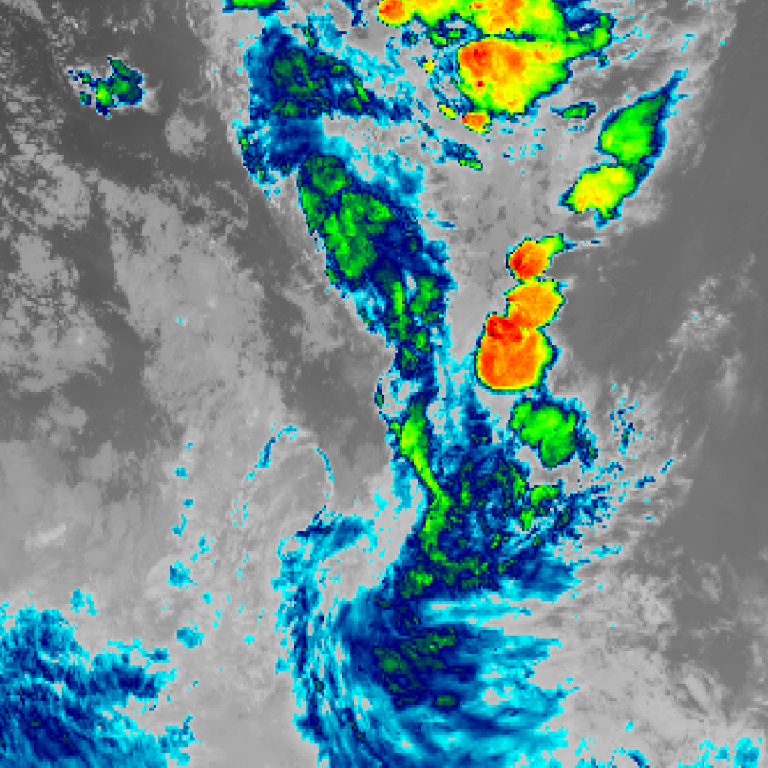
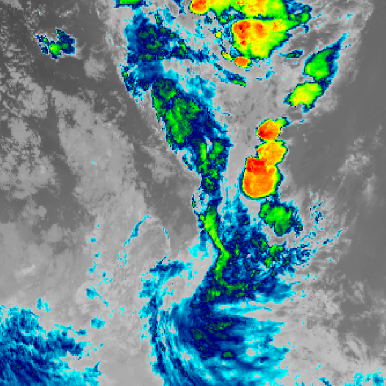
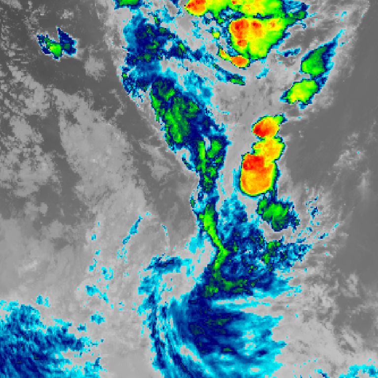
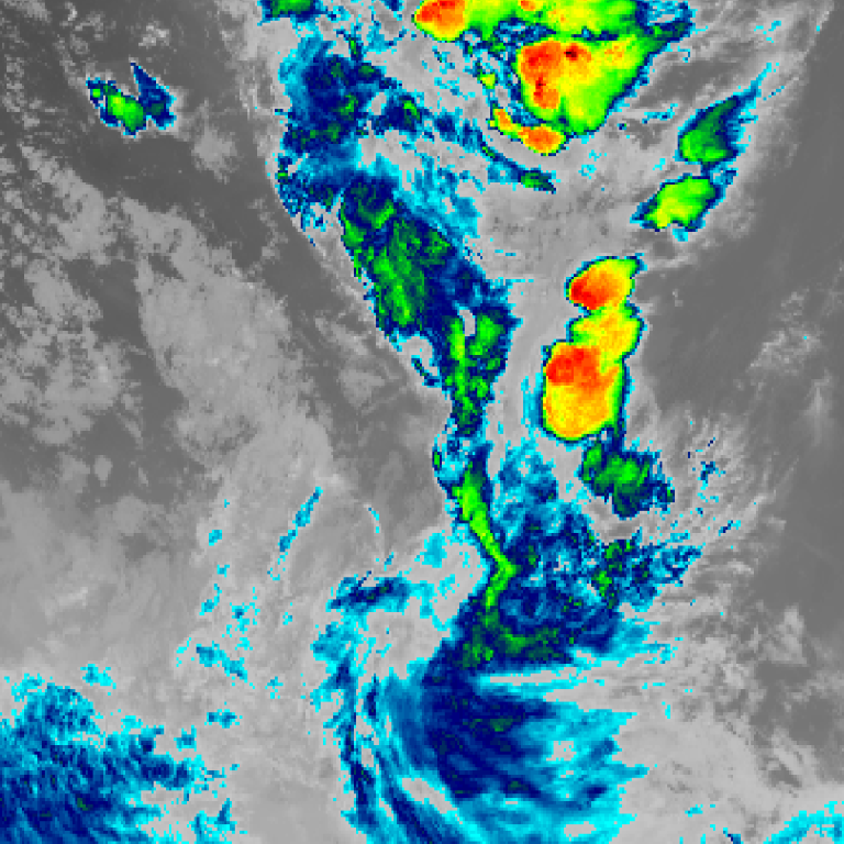
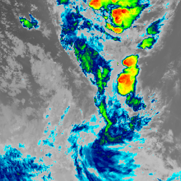
Himawari satellite loop (infrared) · 5:40pm AEDT – 7:30pm AEDT · Imagery: JMA Himawari via NASA GIBS
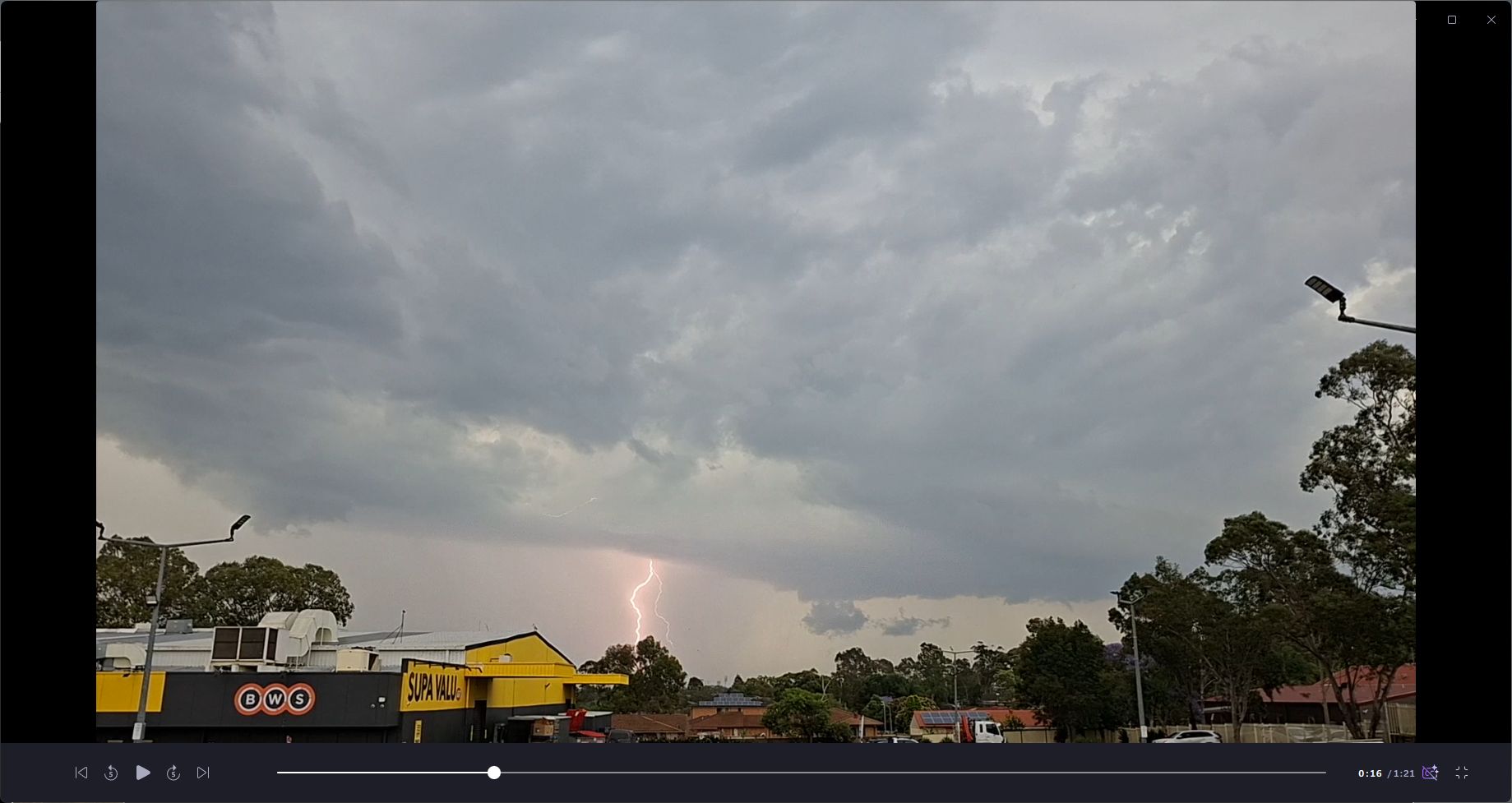
In this case, the standout feature of this storm were the lightning strikes that were occurring rather than any intense rainfall or hail.
The storm reached peak in intensity between Penrith and Doonside but by the time it reached Doonside, the storm showed some signs of weakening.
It still produced some solid cloud to ground strikes as it passed over Doonside and Blacktown regions and associated strong thunderclaps.
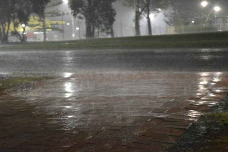
The images attached to this post are taken as the storm approached Blacktown from the west.
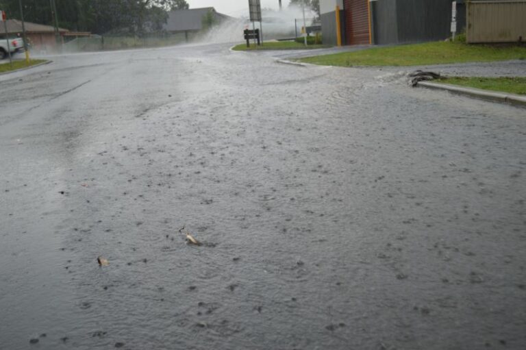
Rainfall intensity was only moderate grading to slightly heavy at times but nothing too significant. There was no hail and winds were mostly light winds.
Interestingly, the northern part of the storm that tracked over Sydney’s northern suburbs maintained a degree of intensity as it crossed the coast. In particular, the weather station at Terrey Hills recorded 31.2 mm of rainfall between 6.26 pm and 6.57 pm.
This event was part of a much broader weather system that has impacted large areas of Australia over recent days with significant thunderstorm activity occurring. While the Western Sydney event was relatively tame in comparison, other such events were not.
These included but not limited to:
1 – Western Australia and Northern Territory – To 7 am Wednesday morning, around 493,267 lightning flashes occurred from thunderstorm activity across the state and into Northern Territory.
2 – A dynamic weather system impacted parts of southeast Queensland including Brisbane with significant thunderstorm activity Wednesday afternoon. The event left 81,000 homes without power, fallen trees covering roads and property damage. The storm events brought 48.8 mm of rain to Redland (Alexandra Hills). The southern areas of Brisbane were most impacted.
The storm brought up to 120,000 lightning strikes across the region.
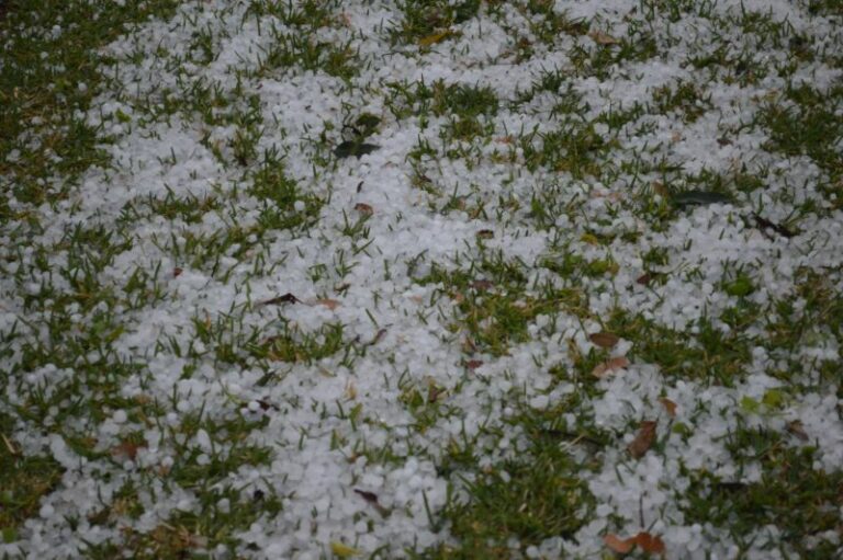
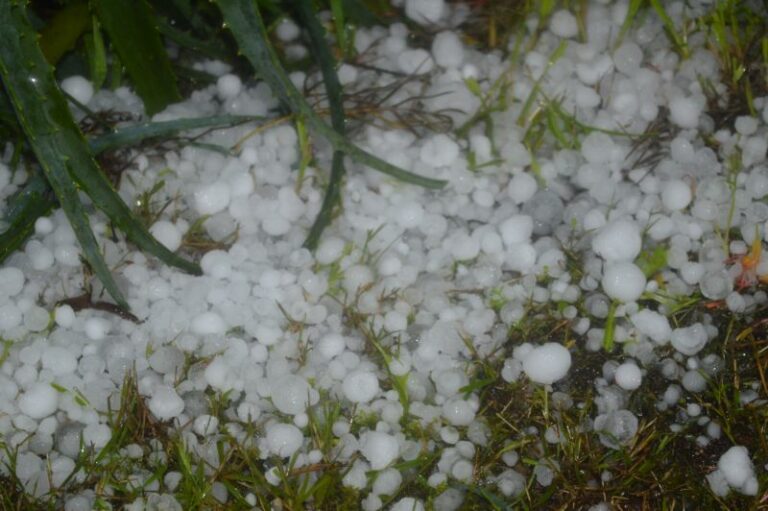
3 – A significant thunderstorm event impacted Wauchope (West of Port Macquarie New South Wales) Wednesday afternoon with hail. Hail drifts were reported due to the amount of hail that fell. Media reports suggest most of the hail was in the range of 1 to 2 cm in size with the occasional stone reaching 3 cm in size.
The images attached to this post were taken on using my Samsung Galaxy A57 Mobile phone while the Still photo was taken using my Nikon DSLR camera.