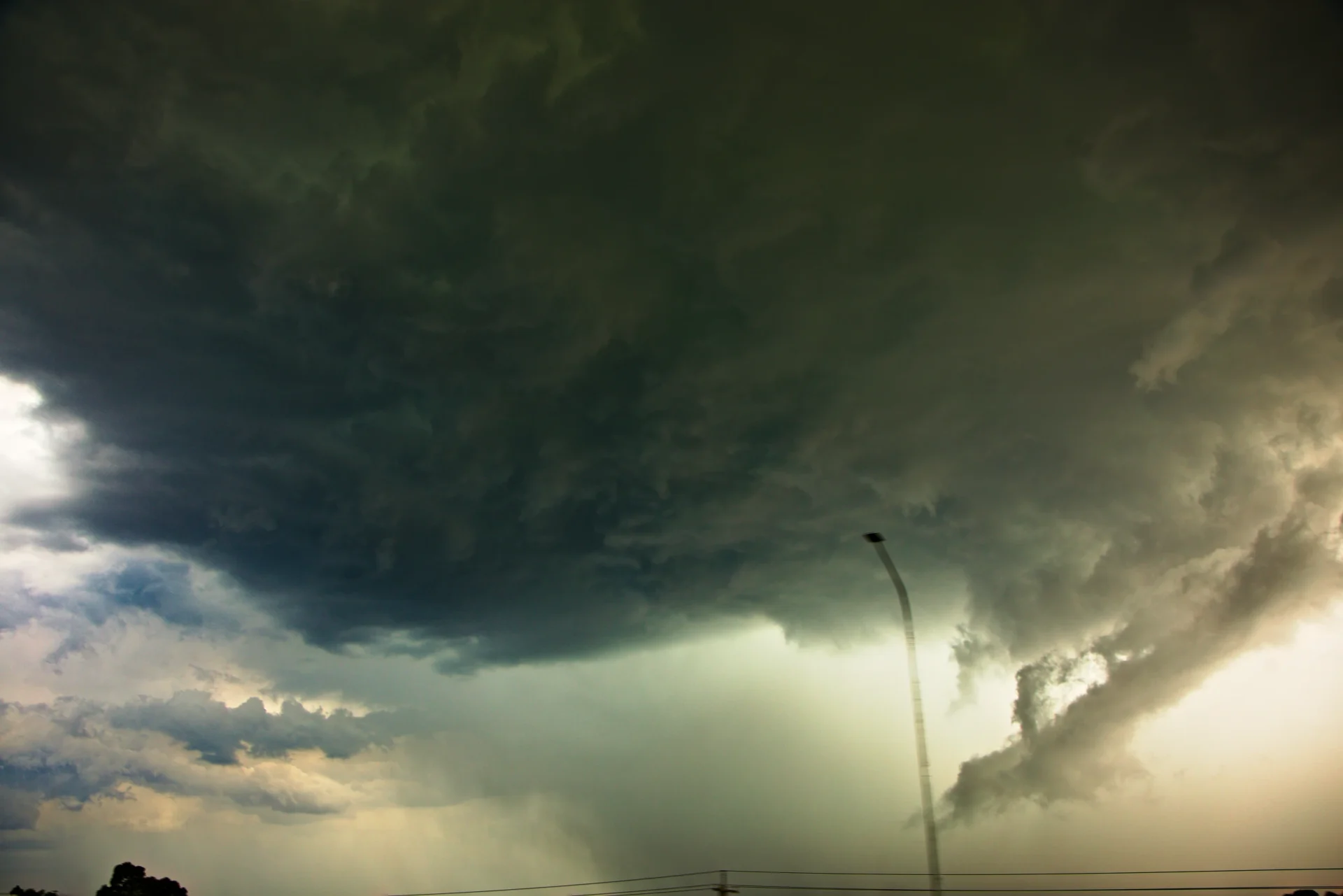
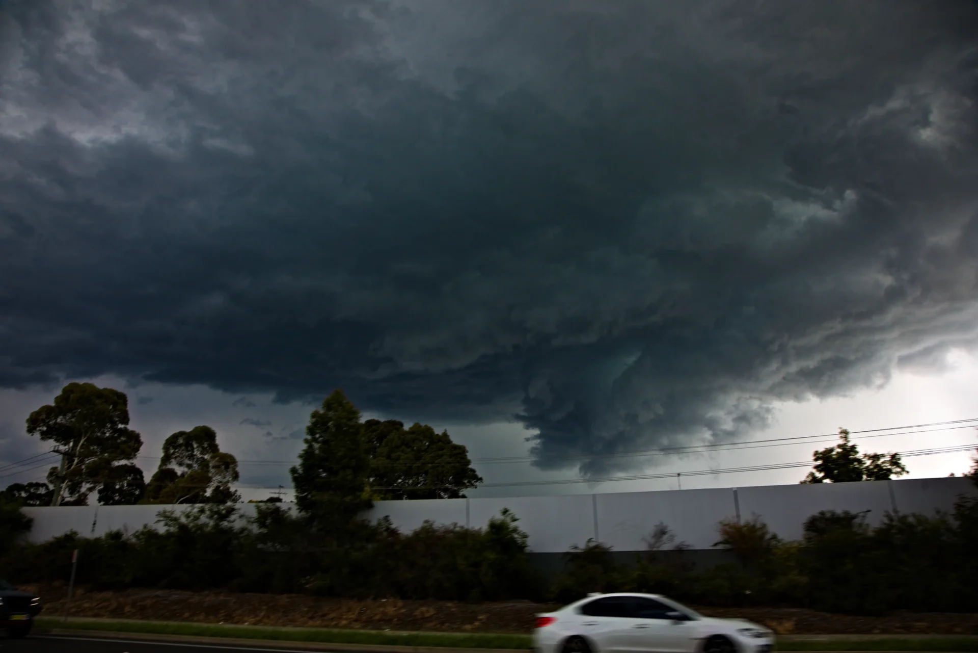
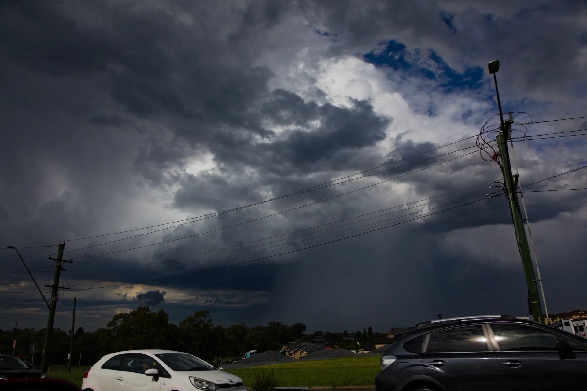
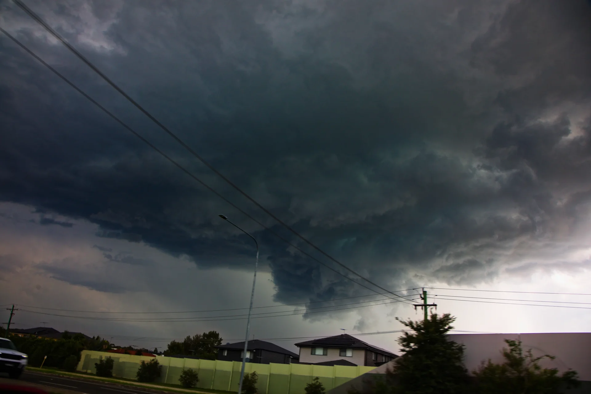
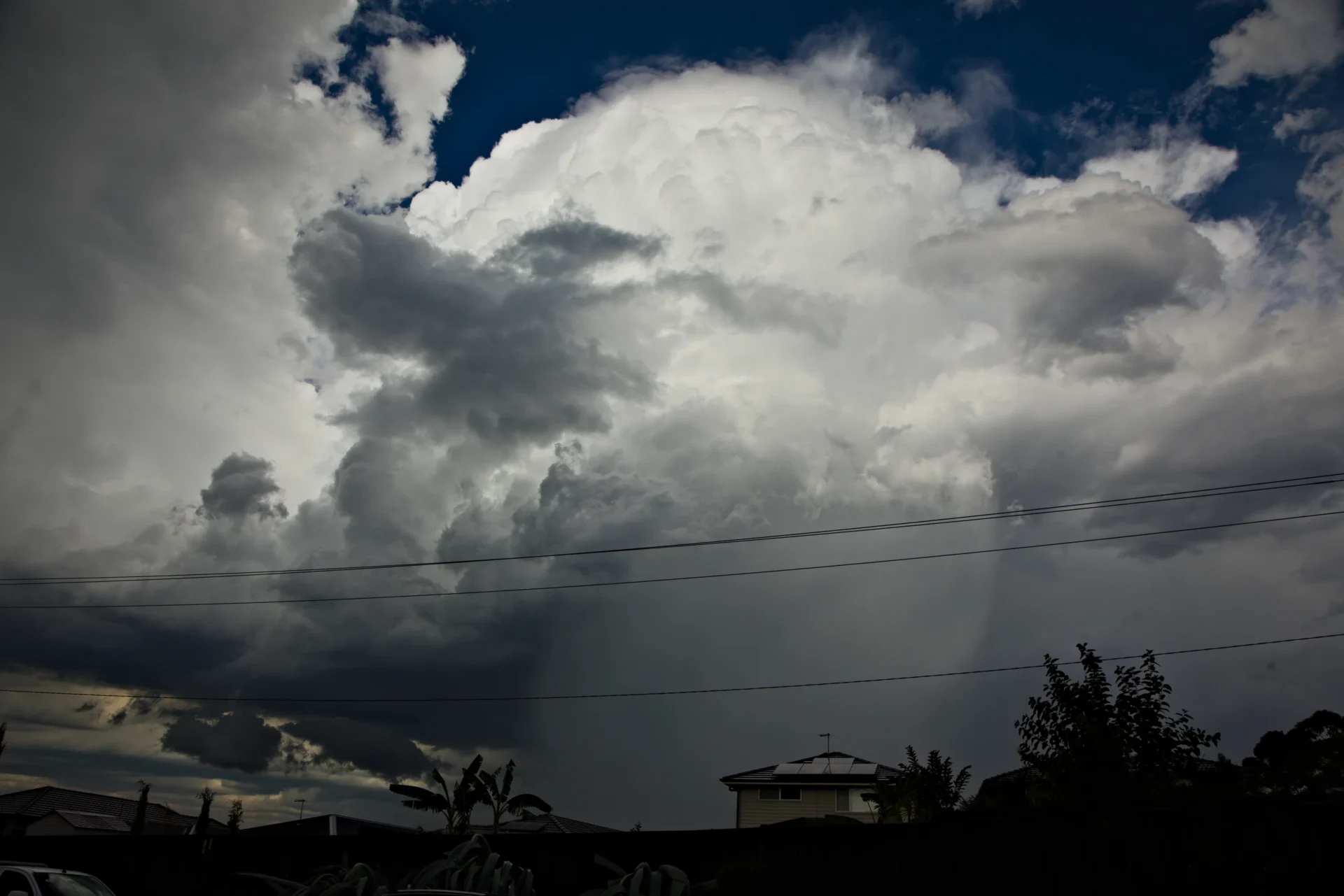
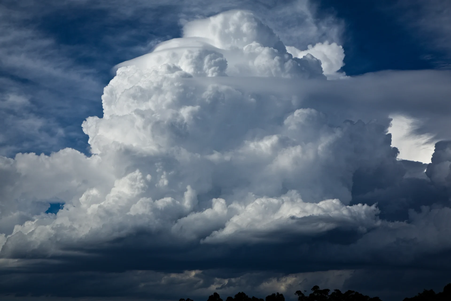
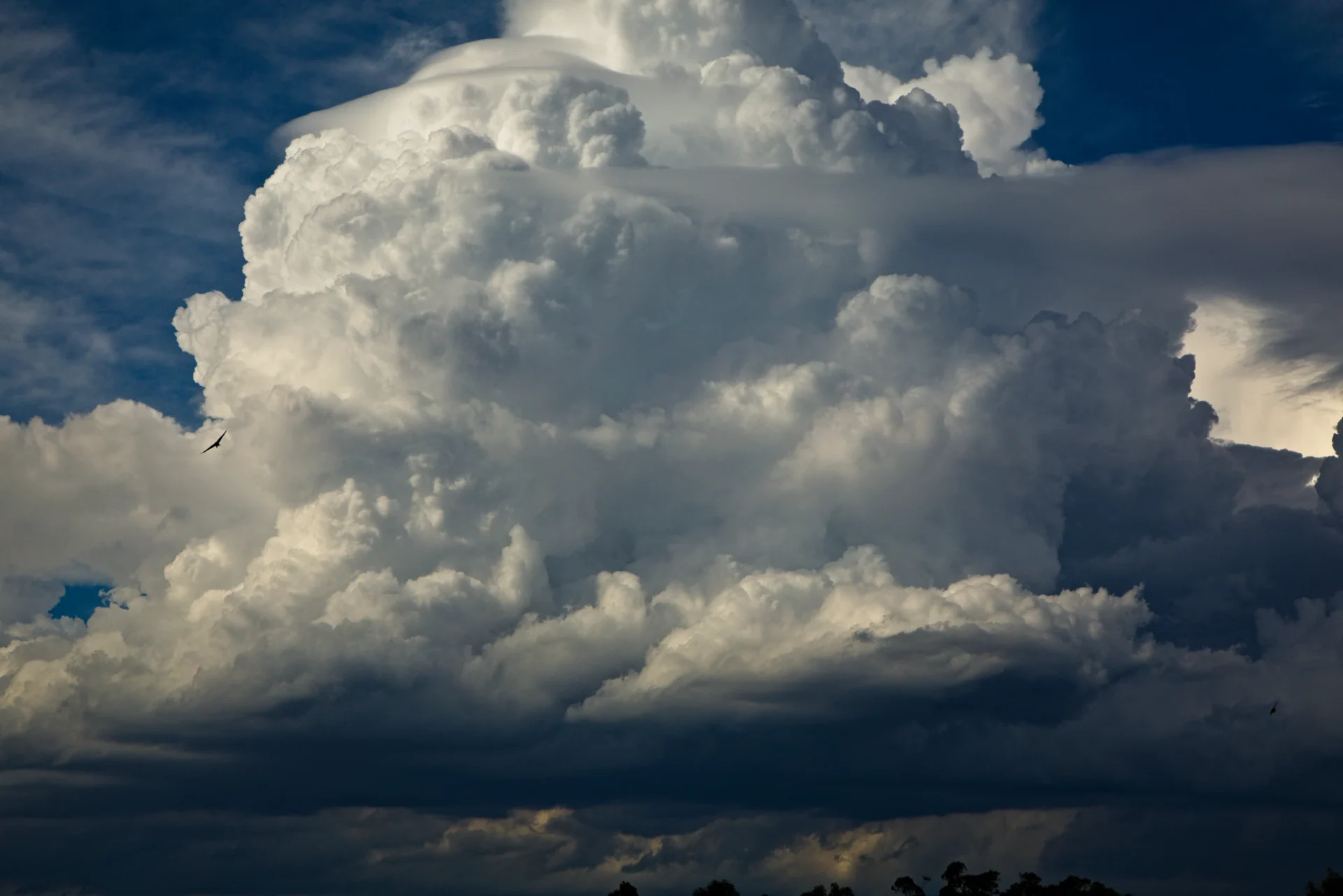
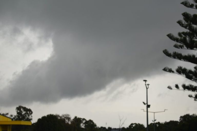
There were indications of severe storms based on models nearer Wollongong region. After clouds cleared large cumulus and a developing storm SW of Camden began to intensify with towers protruding to the next level above the lower topped anvil and middle level cloud. This seemed to time with the approaching upper trough approaching the region.
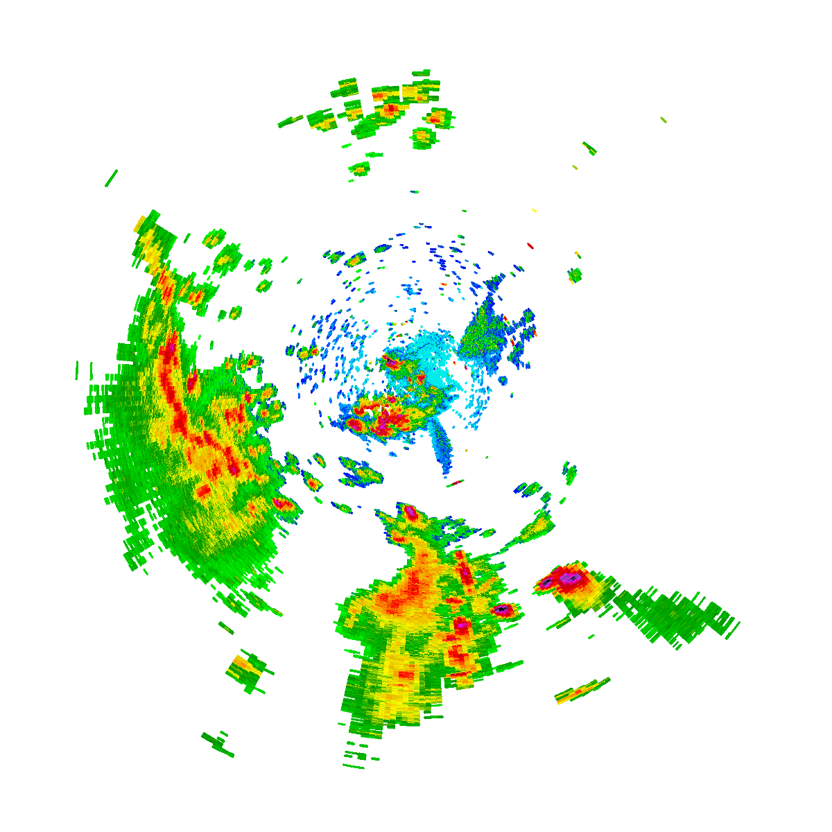
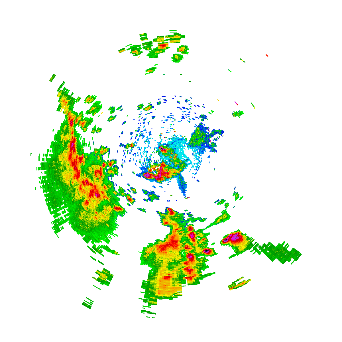
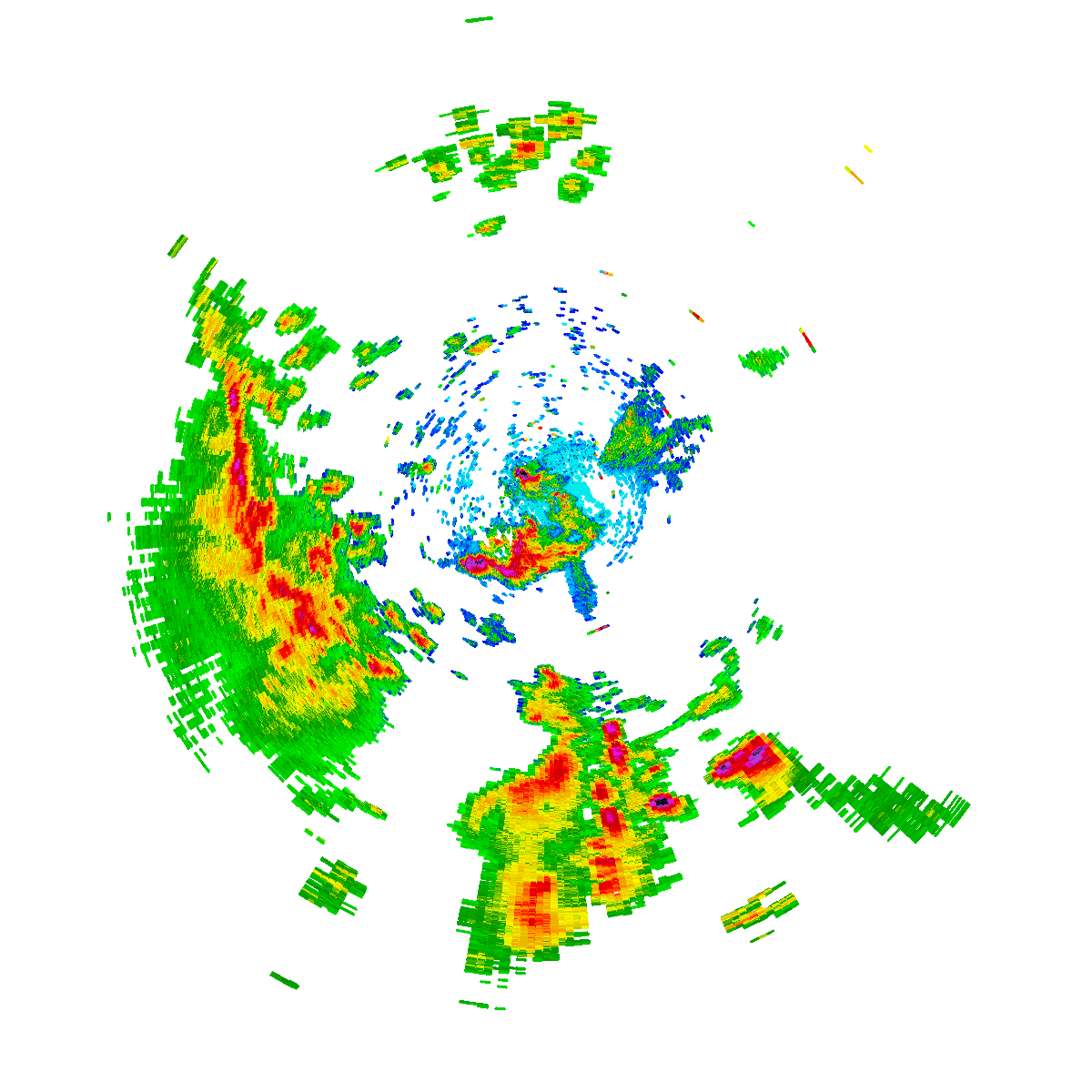
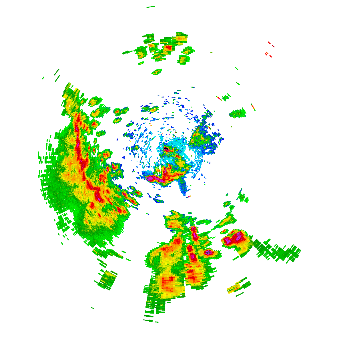
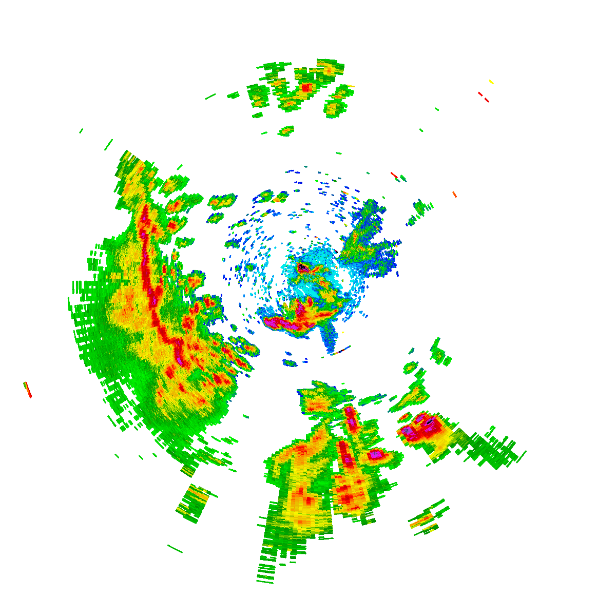
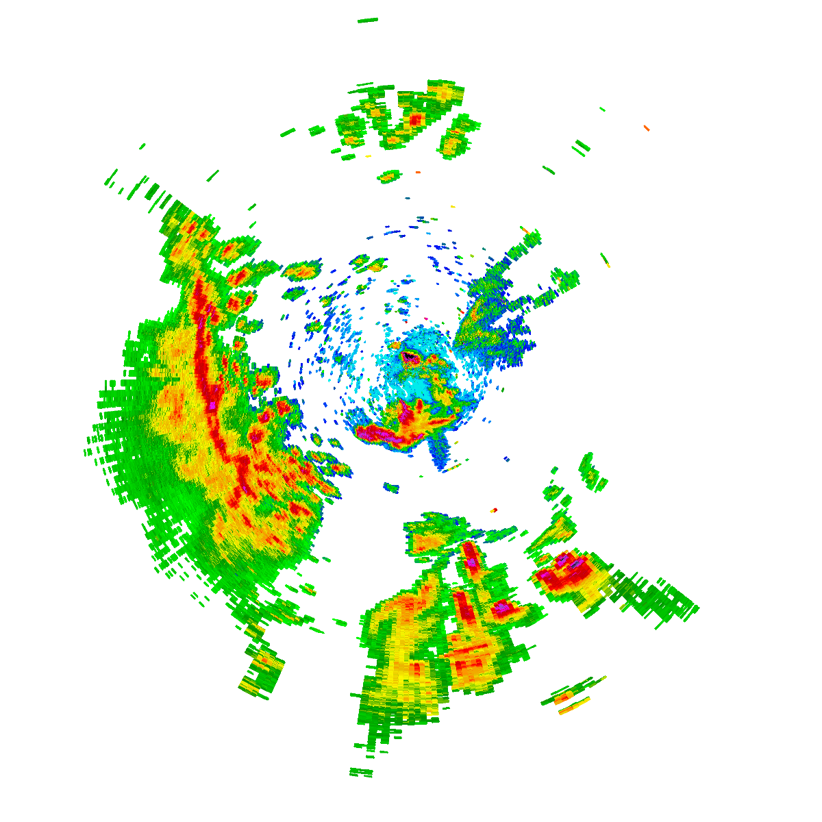
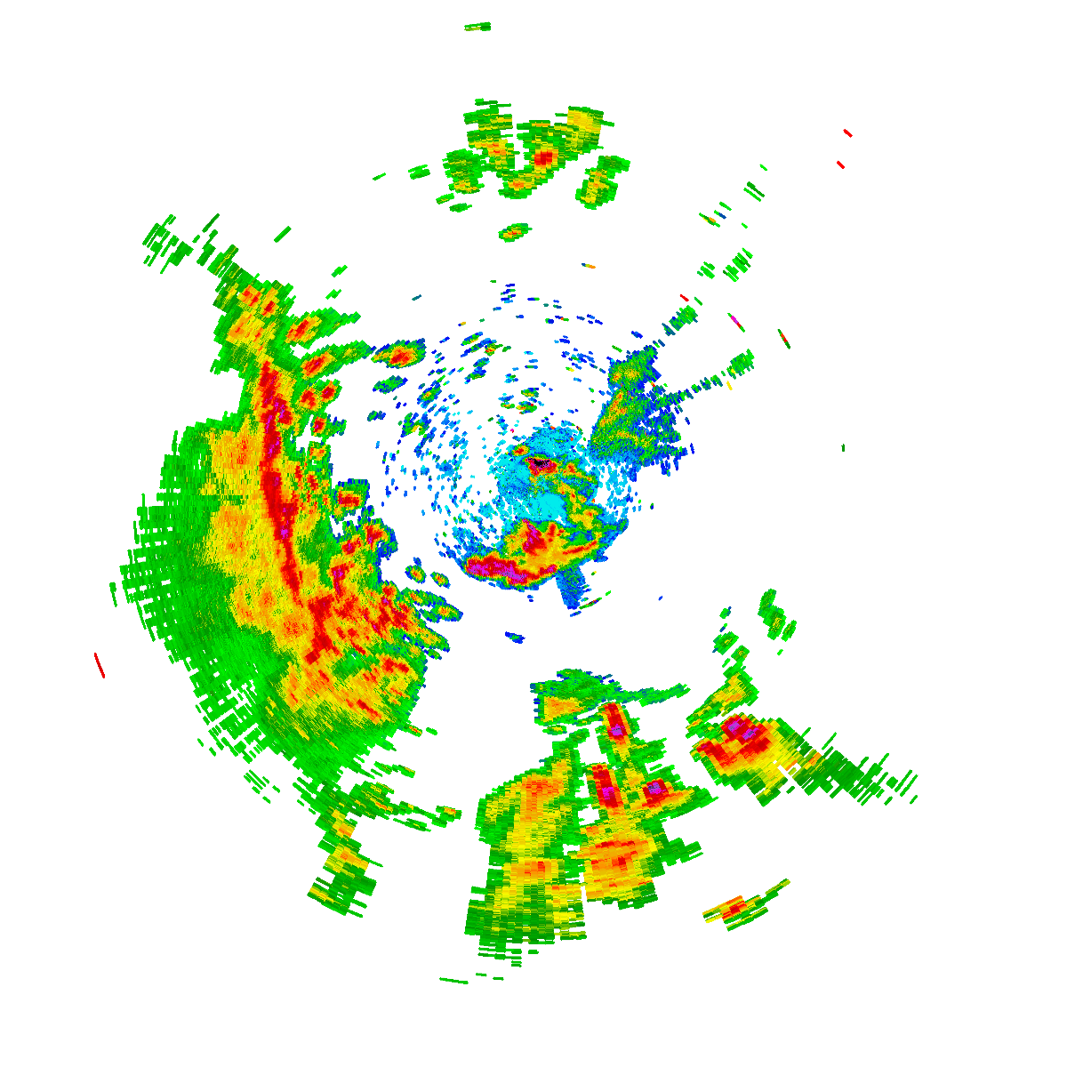
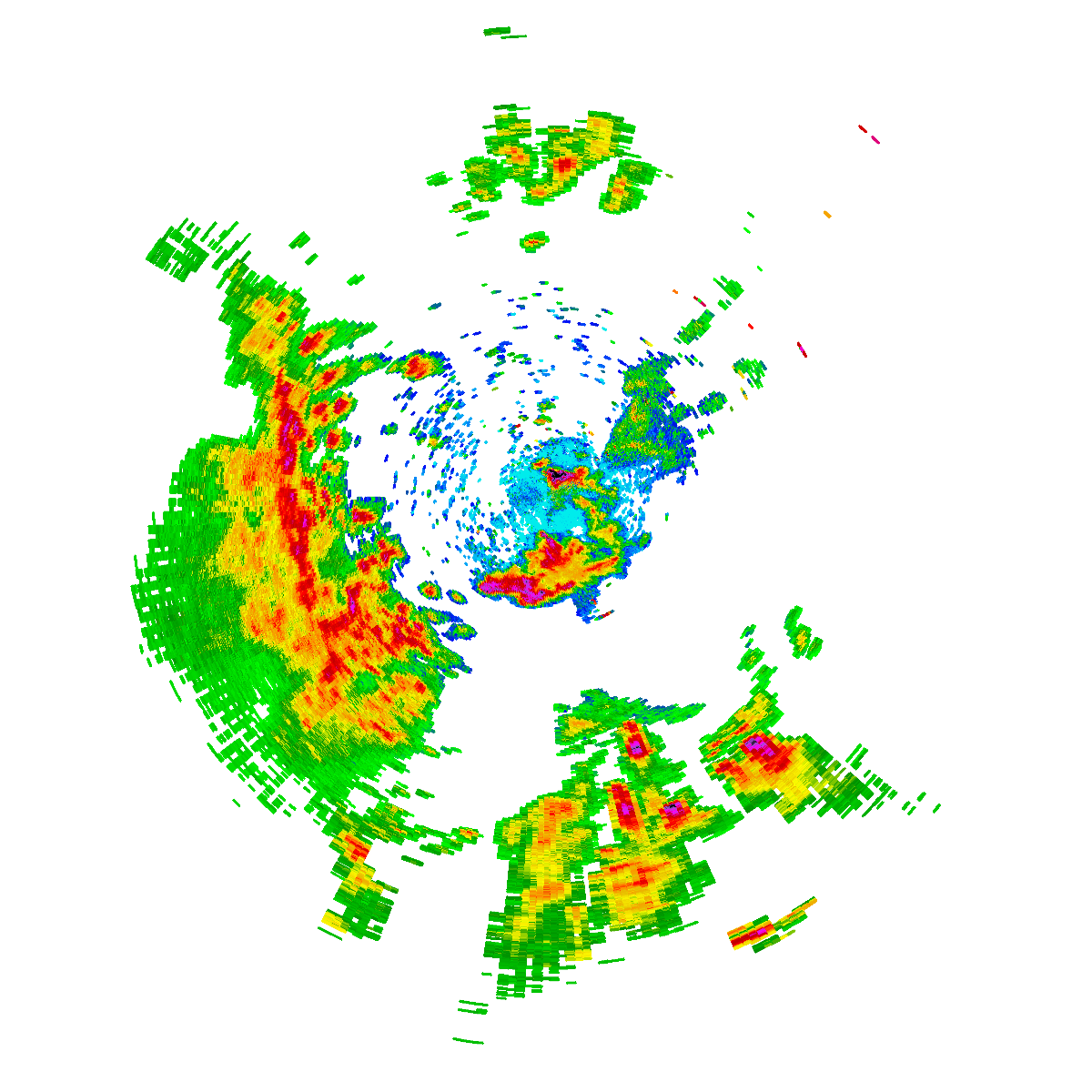
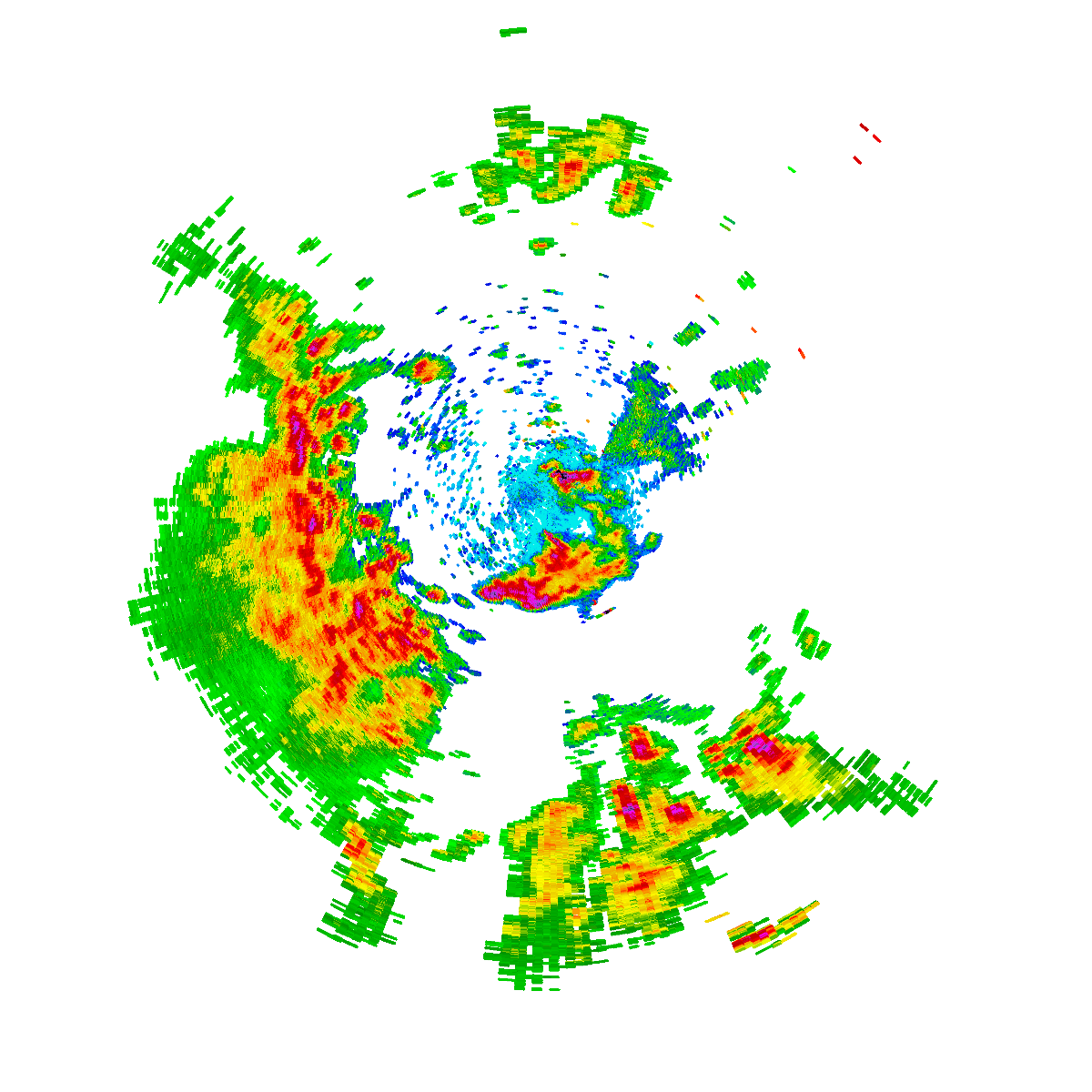
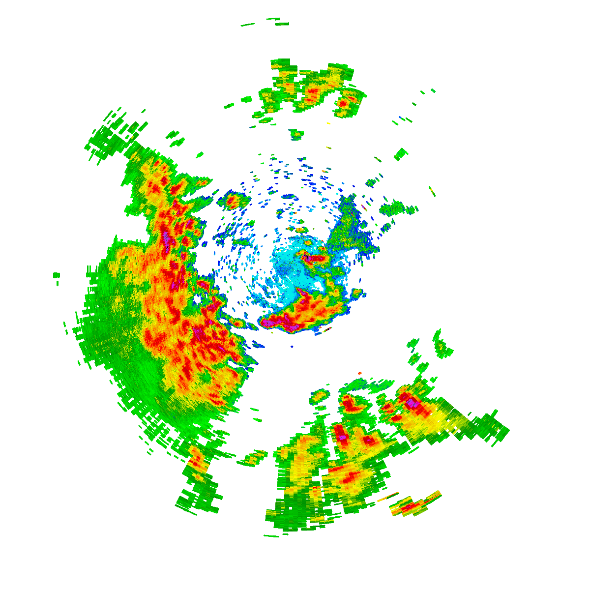
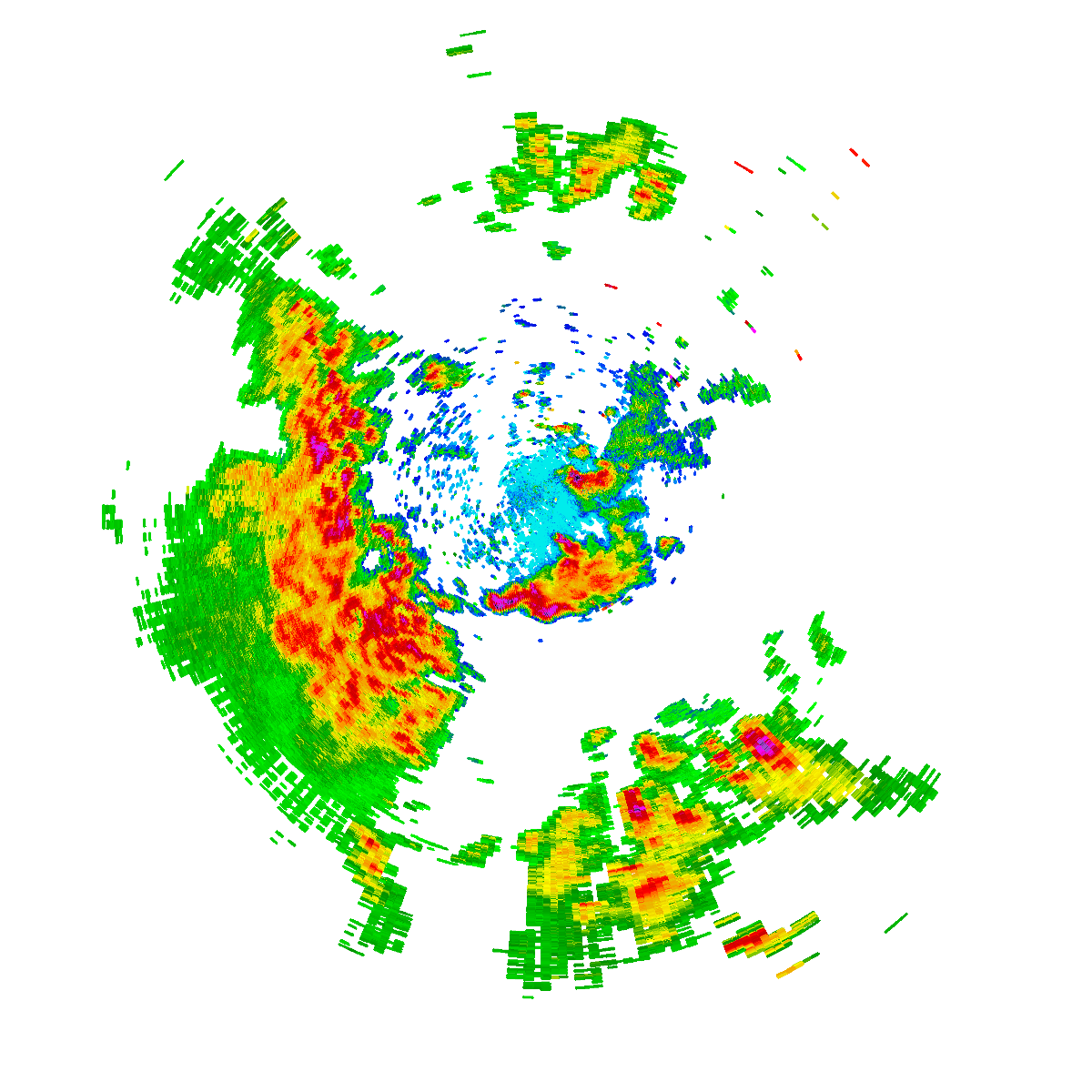
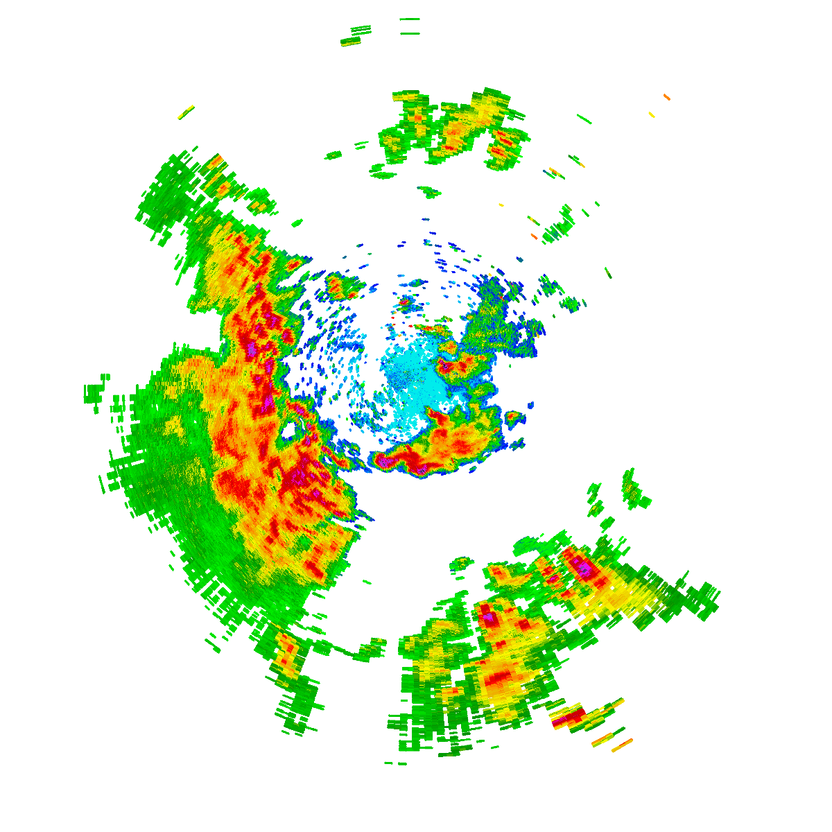
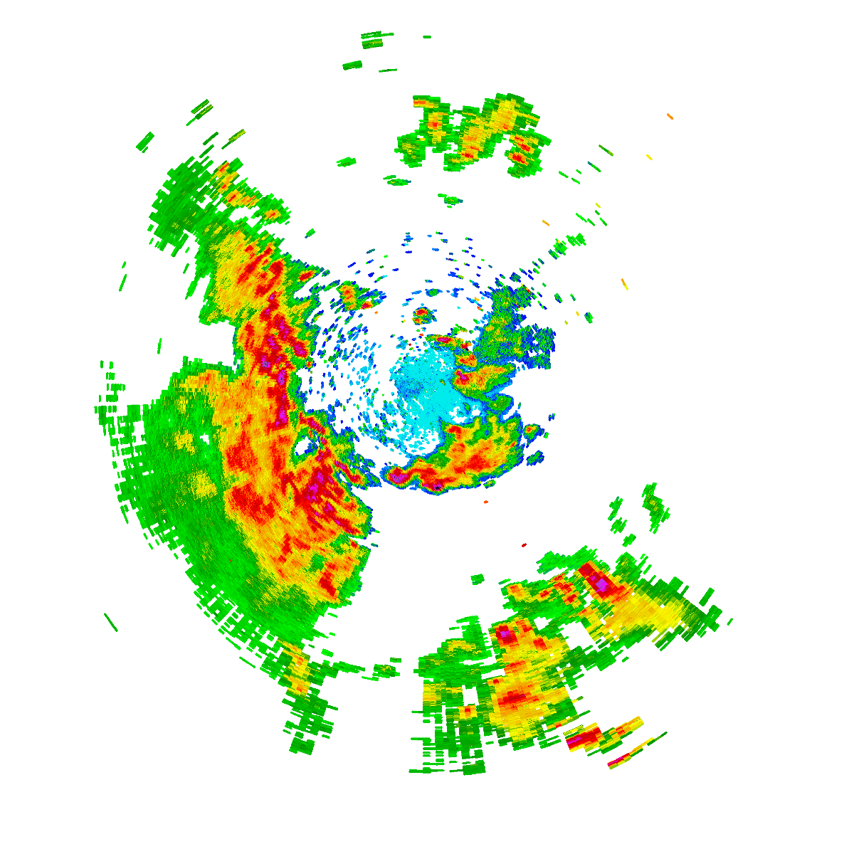
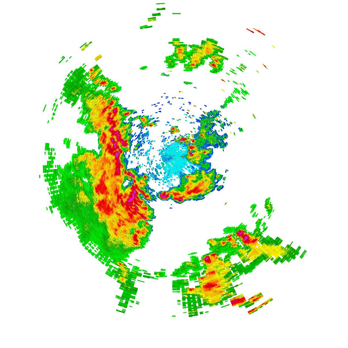
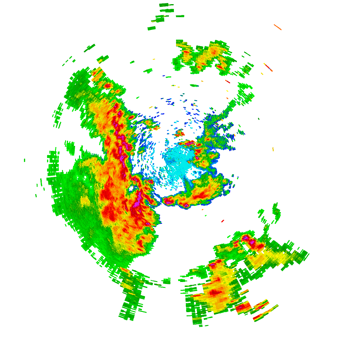
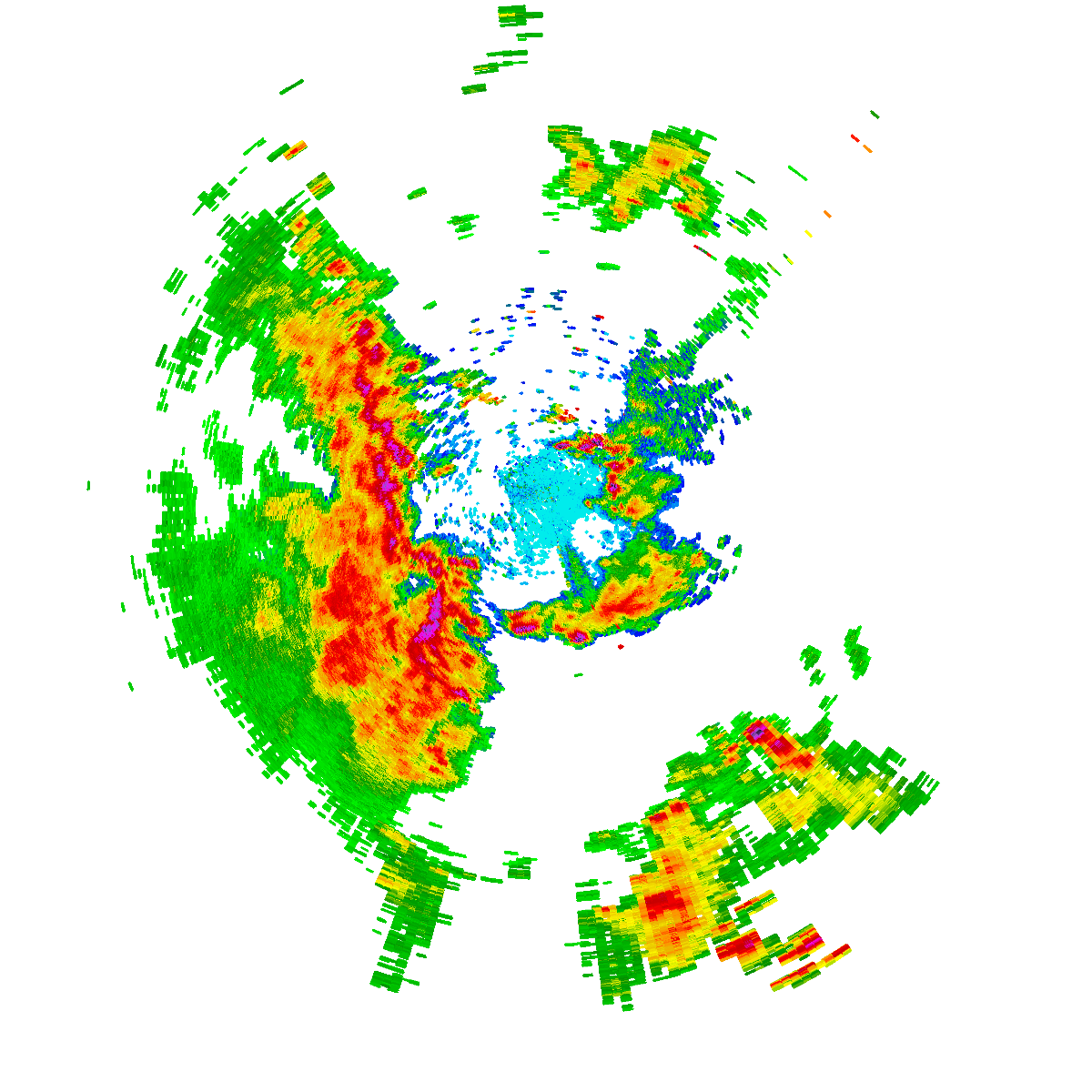
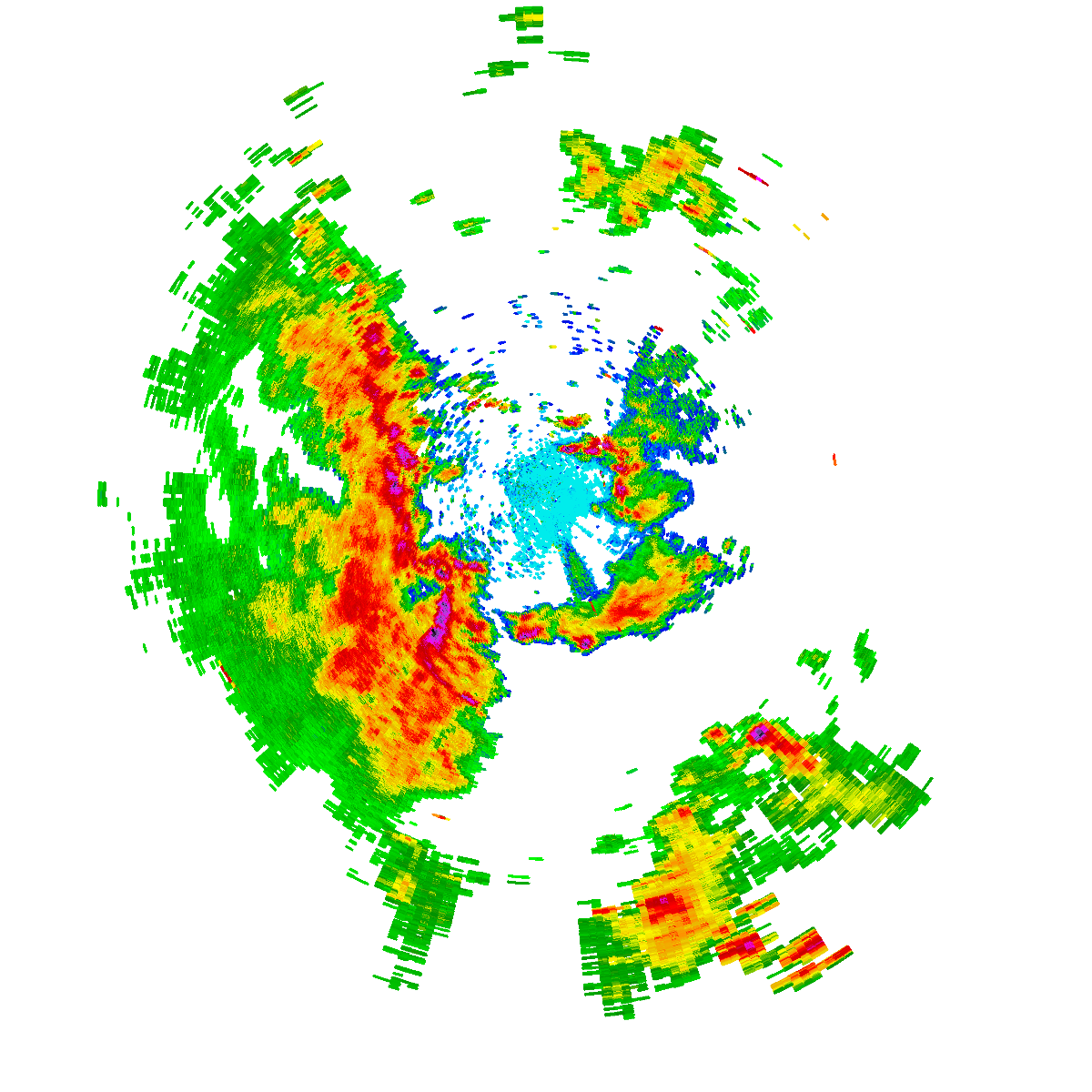
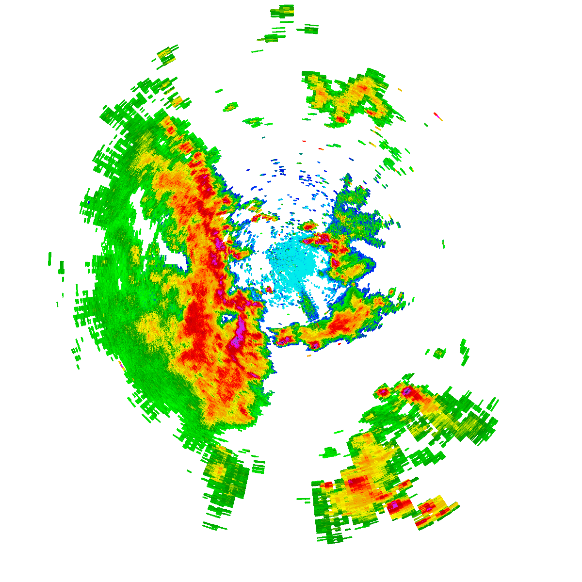
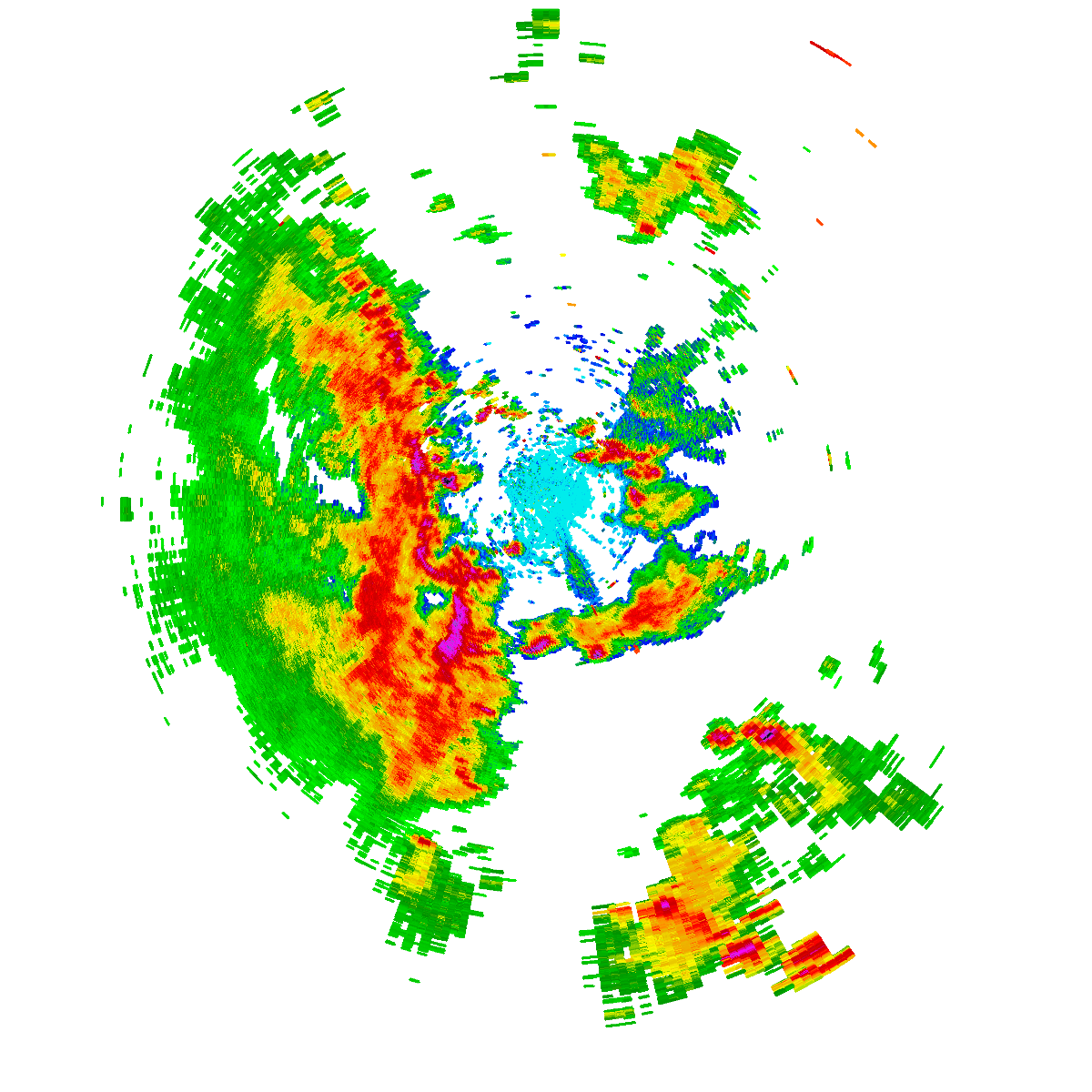
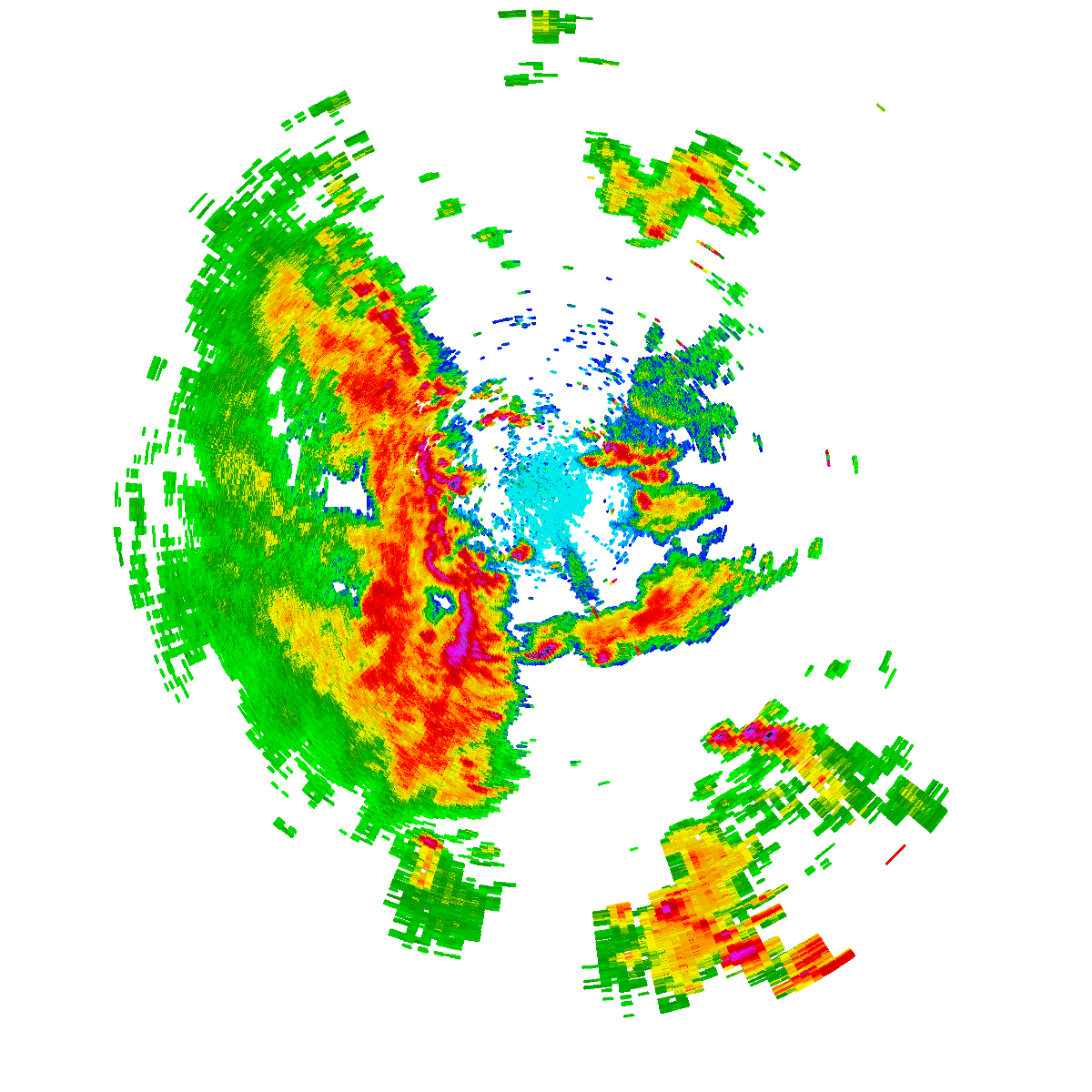
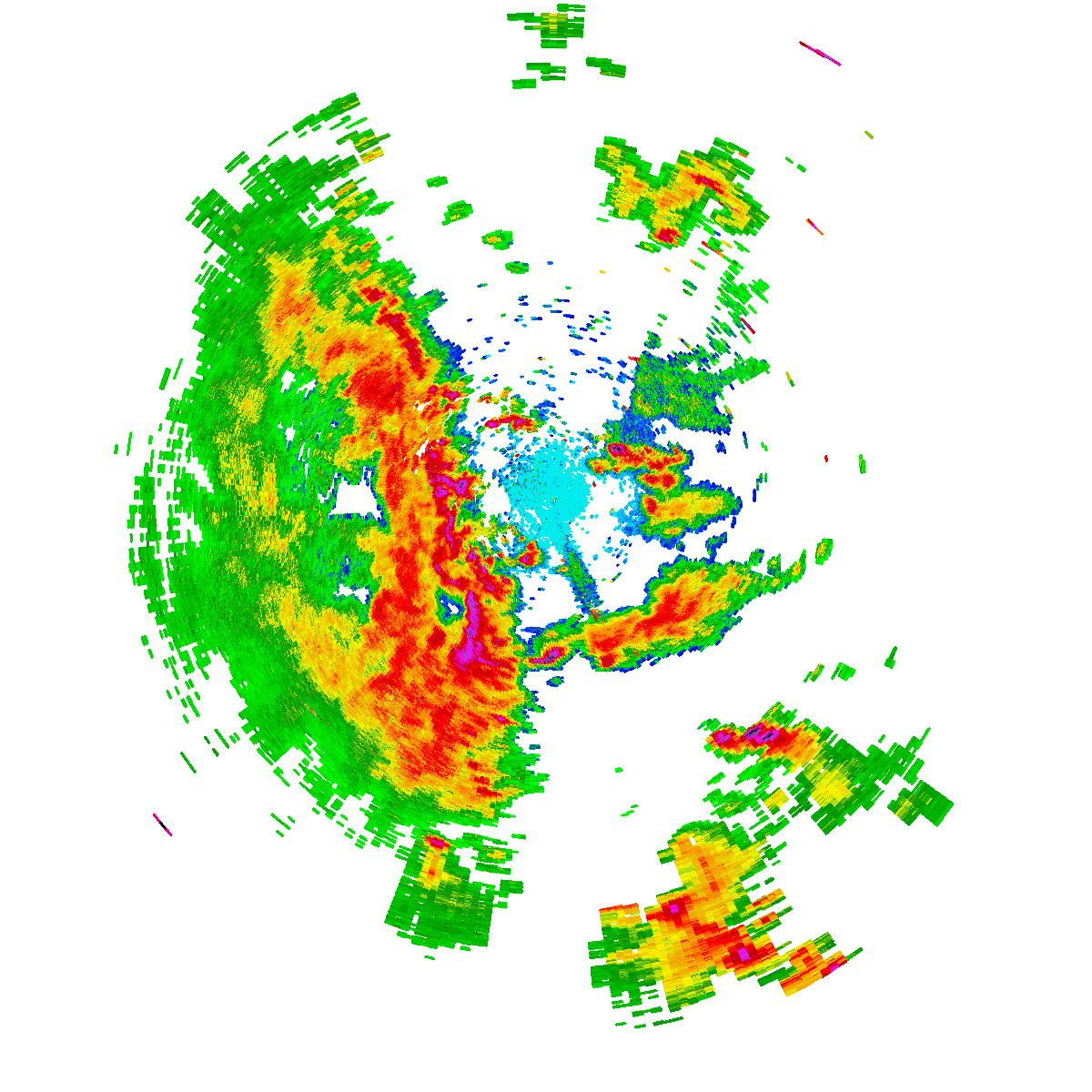
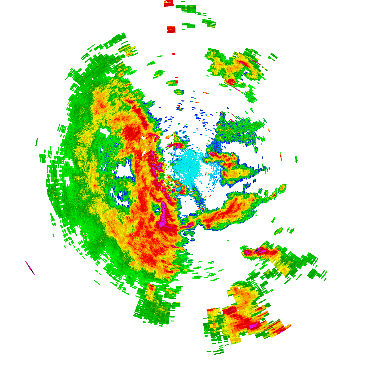
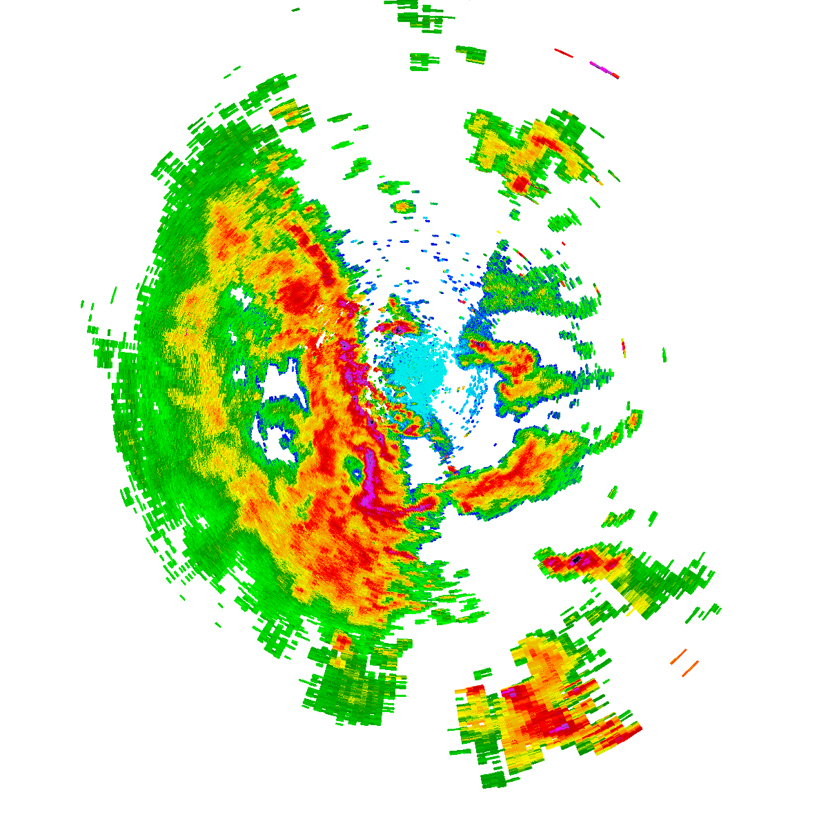
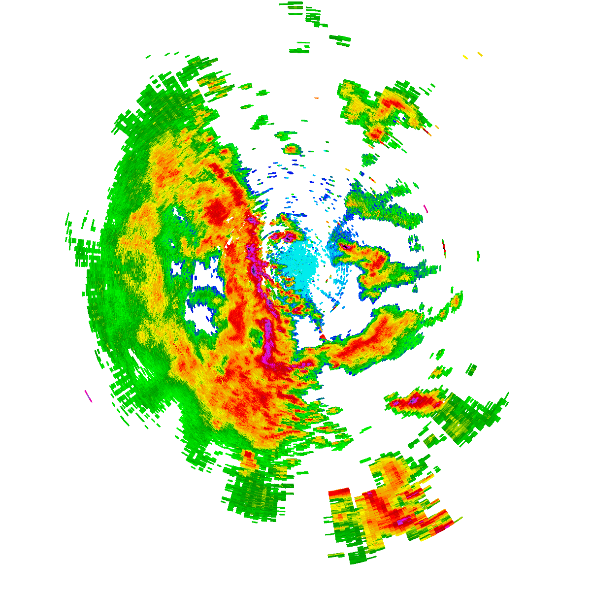
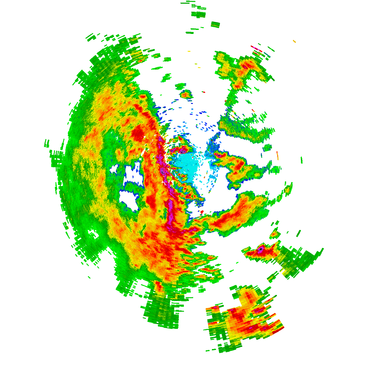
Bureau radar loop, Wollongong (Appin) · 3:00pm AEDT – 5:00pm AEDT · Radar data: Bureau of Meteorology (CC-BY 4.0)
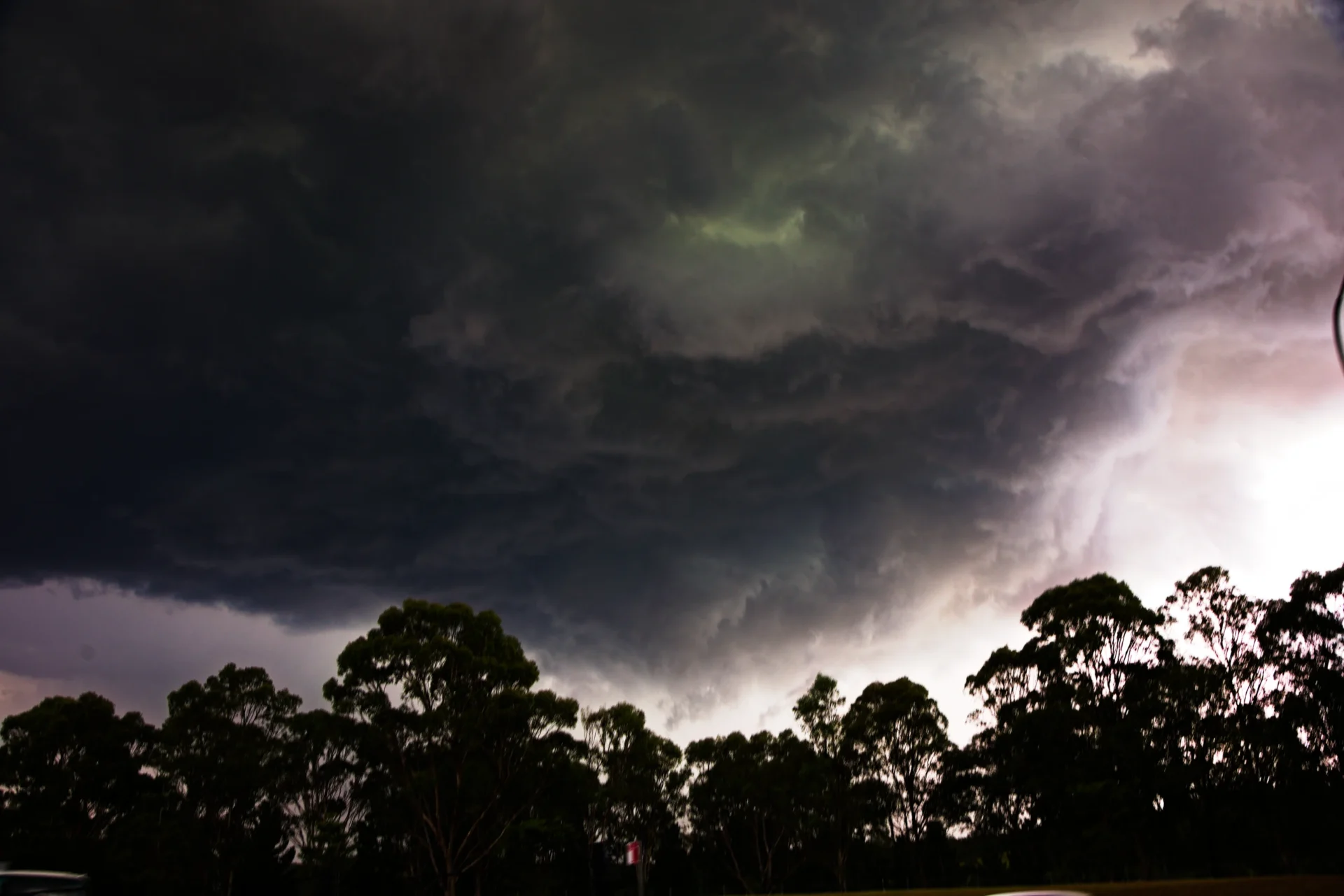
A magnificent base including an attempted wall cloud with ripple base neared the south of Camden as I approached. Lightning activity became increasingly more frequent and hail shafts showed some signs of cutting in like an RFD cut. But as the storm parallelled Narallen, the storm showed signs of more outflow dominance – a shelf cloud featuring as I closed in to Campbelltown.
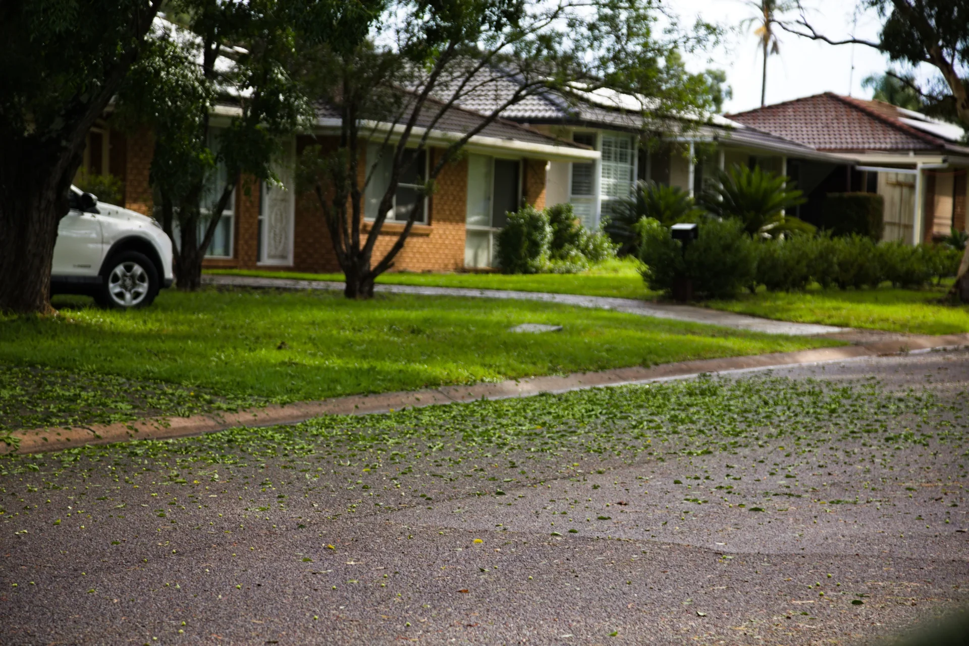
Finally on the Appin Road, it was an inevitable core punch. Cars parked on the side of the road could only mean one thing – hailstones. Surprisingly, this storm packed a punch with strong winds and large hailstones pummeled my vehicle near St Helens Park. After returning back the last of the hail had moved east – a magnificent updraft powering overhead with rainbow. Hail was measured to about 3cm in the most intense area of the storm.
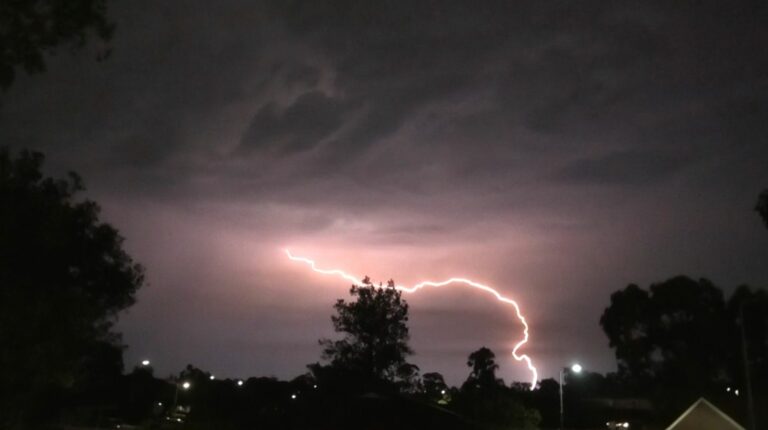
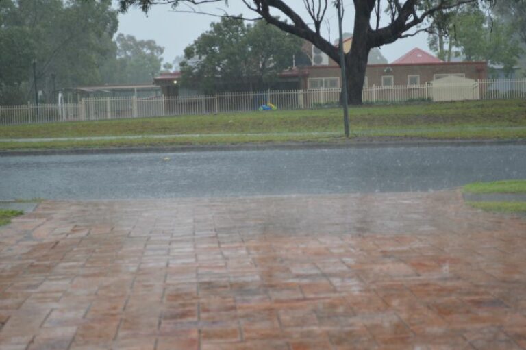
More storms approached later as part of a band of storms and once again the SW faired the most with some intense lightning and likely hail and very heavy rainfall in regions just north of Campbelltown.