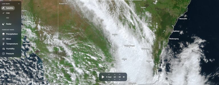
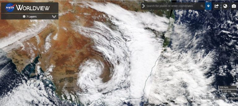
Over the past 2 days, significant thunderstorm activity has been widespread across regions of Victoria and parts of southern and Eastern New South Wales.
In brief some of the worst affected areas from the events of the 2 January 2024 include:
- Ballarat (South West Victoria) – Peak wind gusts to 82 km/h from a thunderstorm between 12.50 and 12.53 pm.
- Wangaratta (North east Victoria) – Peak wind gusts to 104 km/h from thunderstorm activity between 4.35 pm and 4.41 pm including significant rainfall to 54.4 mm.
- Wagga Wagga region (Kapooka Riverina) – Peak wind gusts to 82 km/h and very heavy rainfall of 73.2 mm including 46.2 mm between 4.31 pm and 5 pm or more than 1 mm per minute sustained over 29 minutes.
- Cooma (Monaro region) – 61 mm of rain fell from storms accompanied with peak wind gusts to 78 km/h between 4.43 and 4.47 pm.
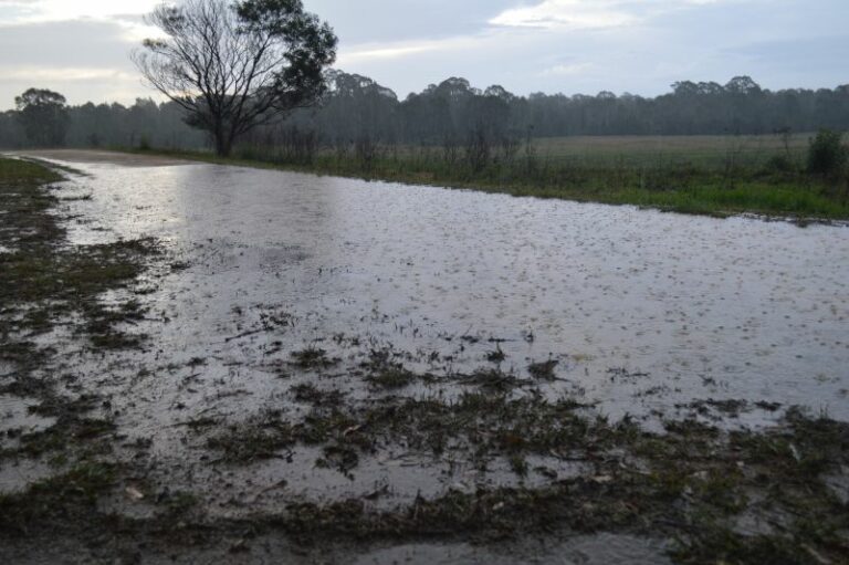
This is a sample of the stronger storm events and images of flooding and storm damage have been provided within local media reports.

The same weather system causing the above mentioned events was expected to move further into southern and south eastern New South Wales (South of Sydney) during Wednesday 3 of January 2024. As such, this provided an opportunity for a storm chase to the region.
Storm Chase 3 January 2024 – Sydney to Captains Flat and Braidwood then Bungonia
With this in mind, a storm chase was initiated by myself and Jimmy with the town of Braidwood and nearby region being the primary location. A detailed map showing the route taken highlighted in blue is attached.
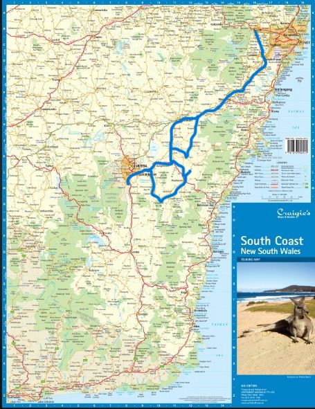
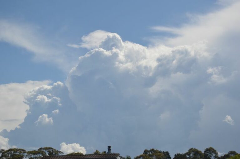
We drove from Penrith to Goulburn then to Bungendore where we stopped for morning tea and to await the development of thunderstorms within the target region. Thunderstorm cells did in fact develop to the north, north west and to the south. The cells developing to the north generally appeared to have higher bases and appeared to have lower tops when compared to the storms developing further south.
A decision was soon made to target the southern cells following closer investigation on what was going on to the north around Goulburn. This proved to be the correct decision to make which set up a strong storm chase for the day.


We drove to Queanbeyan then south of Canberra then made a return trip back through Queanbeyan to intercept a cell that was encroaching towards Captains Flat. Our chase took us south along Captains Flat Road where we intercepted the first storm although the base remained to the west and north west.


Photos were taken then we had to move to keep up with the developing storms nearby. Brief stops were made to photograph and film nearby storms and by doing this, we were able to keep abreast of rapidly changing weather conditions.
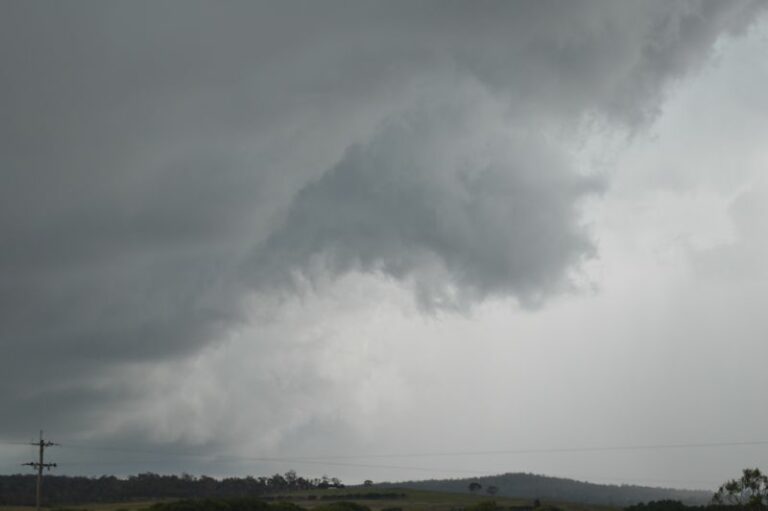
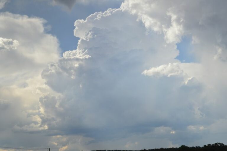
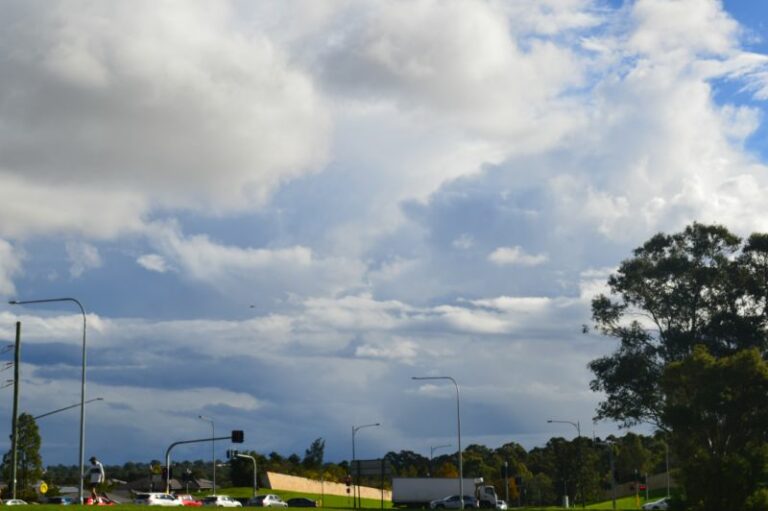
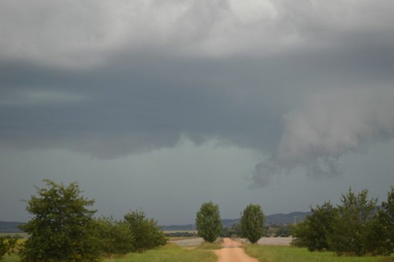
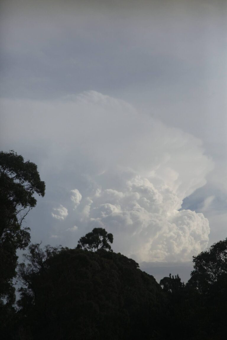
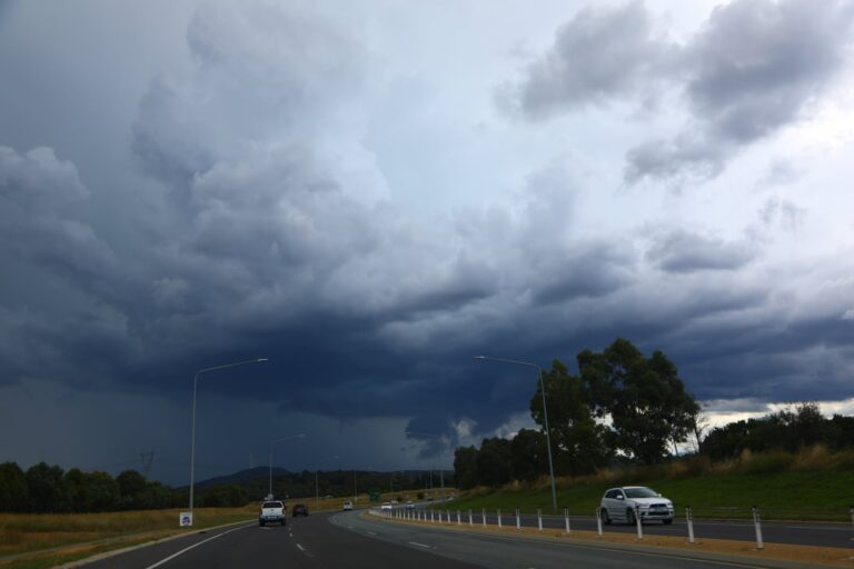
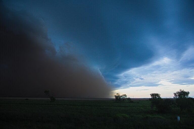
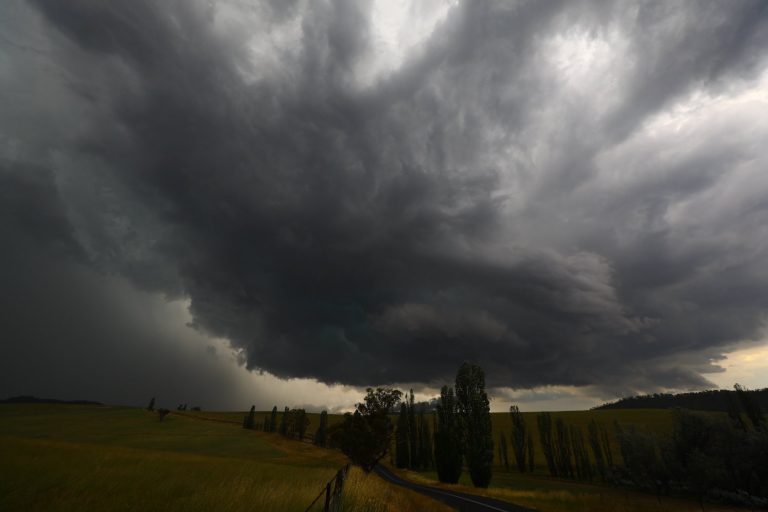
North of Braidwood, a storm formed on the convergence of the north east and south east winds which provided excellent opportunities to catch a storm developing overhead and or adjacent to our location. Images of cloud bases and cloud formations are attached.


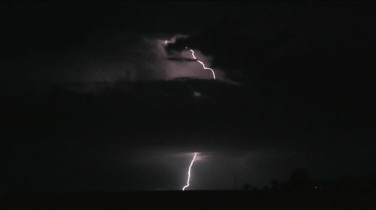
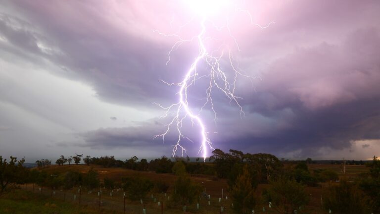
We had to be careful as this storm produced some very close cloud to ground lightning strikes and accompanying thunderclaps.
This storm produced heavy rainfall and winds but given location, there were no weather stations available to record what occurred. While the cloud bases had green tinges, it did not hail along the route that we took. If hail was present, it would have occurred in areas not accessible by road.
It is noted that only 4 mm fell from this storm at Braidwood. The heaviest rain fell just to the north and north east of town where we were.
We continued north to Tarago then turned east to intercept another storm moving north along the coastal ranges. This was an excellent decision to make as some high contrast photos were obtained from this cell. We kept abreast of this storm until it weakened at sunset. Our chase ended around Bungonia (South of Marulan).


This was a successful chase and the forecasts made proved accurate for the day.
Total distance travelled – 771 km.
The highlight of the day were the storm bases observed and captured on photos.
A thank you to Jimmy who paid for my meal later that evening.
Some of the storms within affected areas similar to those of the 2 January did have some impact including:
- Braidwood – 27.2 mm most of which fell from storms after sunset.
- Nerriga – Peak wind gusts to 109 km/h between 6.29 pm and 6.35 pm accompanied with heavy rain. A total of 29.4 mm of rain fell.
Photos attached are a mix of those from my Nikon DSLR D3200 and D5200 cameras.