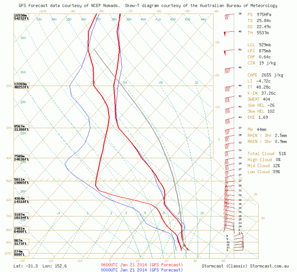
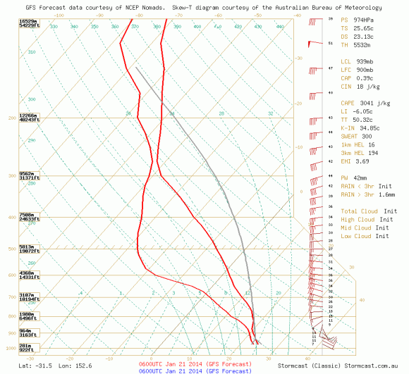
The models, and models they are, were pointing to fairly impressive soundings in the region particularly near Port Macquarie. Taking the upper and lower limits, the CAPE and CIN values were pointing to a fairly substantial and easily breaking CAPE values in excess of 3000J/kg and CIN values of the 20 mark even as early as 2pm. There was a 20% value of fail mode based on the sensitivity of moisture plugging in the worst possible scenario. And the fail occurred. The region near Mt Seaview or jut south did receive and shower and a storm to the north but it was NE NSW that received severe warnings for hail and wind. The day promised a low base scenario and deep ample moisture. So what went wrong?
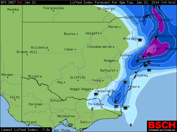
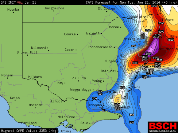
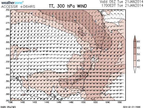
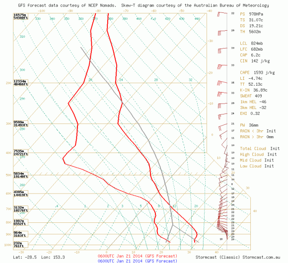
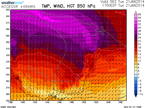
It seems the latter Bureau models put the temperatures at 500hPa of -6C which to me introduced substantial warming compared to the -8C. This meant that towers that did rise rapidly and only filtered through this layer quickly disconnecting from the anvils. There also seemed to be a lack of lower level forcing.

What happened to the storms yesterday?
Check the possible explanation – what are your thoughts weather gurus?
Seems like very low wind shear.
Hi Murray, thanks for your post. The issue was not so much the movement but development in the first place:) I placed an explanation on this page. http://www.extremestorms.com.au/failed-forecast-21st-january-2014/