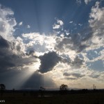
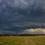
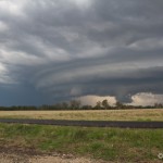
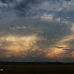
With the threat of potentially severe storms today, Rodney Wallbridge, Michael Bath and I went out and tried to catch mother nature at her finest. Early activity around 1pm provided a nice lightning show however this band of showers and storms would have a negative effect on further storm development as lingering cloud cover prevented sufficient surface heating to help in the formation of organised storms. One storm did manage to become organised just after 6pm in the Whiporie area and displayed severe characteristics for a while before weakening SE of Coraki. A stunning sunset display of mammatus clouds capped off an enjoyable afternoon. Here are my favourite pics from the day.


Cheers Jason

The mammatus reflects the cold air and I guess steep lapse rates in the upper levels of the atmosphere. Storms rapidly developed and weren’t they fast moving! High based activity even along the coast but you can see the storm bases attempting to organise somewhat! Nice!
Here’s my video clip of the earlier lightning active storm, with a bit of quadcopter footage too:
And Jason’s clip of the Rappville storm and sunset: