![Sydney-rainfall.jpg.pagespeed.ce.98PDbEFhp3[1]](http://www.extremestorms.com.au/wp-content/uploads/2012/10/Sydney-rainfall.jpg.pagespeed.ce_.98PDbEFhp31-300x237.jpg) I thought given we have had one of the longest driest spells in some time, this rainfall event is relatively significant. Here at Schofields, we had 17.mm of rain followed by 19.8mm on Christmas Day. The first total predominantly was from one of the high based storms on the 24th December and then elevated storms and rain bands dumped some steady soaking rains during the day. Any other totals anybody wish to report?
I thought given we have had one of the longest driest spells in some time, this rainfall event is relatively significant. Here at Schofields, we had 17.mm of rain followed by 19.8mm on Christmas Day. The first total predominantly was from one of the high based storms on the 24th December and then elevated storms and rain bands dumped some steady soaking rains during the day. Any other totals anybody wish to report?
Rain
Rain
Rain and Storms eastern NSW 25th December 2012
More storms near Schofields, NSW
 Severe Hailstorms and Wind Luddenham 3rd October 2026
3 Oct 2026 · Sydney, NSW
Severe Hailstorms and Wind Luddenham 3rd October 2026
3 Oct 2026 · Sydney, NSW
 Hailstorms Western Sydney and Lower Blue Mountains
26 Sep 2026 · Sydney, NSW
Hailstorms Western Sydney and Lower Blue Mountains
26 Sep 2026 · Sydney, NSW
 First Storm and Hail Event for Season 2026-2027 – Western Sydney – Friday 25 September 2026
25 Sep 2026 · Doonside, NSW
First Storm and Hail Event for Season 2026-2027 – Western Sydney – Friday 25 September 2026
25 Sep 2026 · Doonside, NSW
 Warm Weekend with 30C Maximum Daytime Temperatures – Western Sydney 19 and 20 September 2026
20 Sep 2026 · Western Sydney, NSW
Warm Weekend with 30C Maximum Daytime Temperatures – Western Sydney 19 and 20 September 2026
20 Sep 2026 · Western Sydney, NSW
 A Week of Rain – Eastern New South Wales and Queensland – May 24 to 29
31 May 2026 · Eastern NSW
A Week of Rain – Eastern New South Wales and Queensland – May 24 to 29
31 May 2026 · Eastern NSW
 Storm Chase and Spectacular Thunderstorm Cell Camden NSW – Thursday 26 March 2026
27 Mar 2026 · Camden, NSW
Storm Chase and Spectacular Thunderstorm Cell Camden NSW – Thursday 26 March 2026
27 Mar 2026 · Camden, NSW
 Camden to Campbelltown Hailstorm 26th March 2026
26 Mar 2026 · Sydney, NSW
Camden to Campbelltown Hailstorm 26th March 2026
26 Mar 2026 · Sydney, NSW
 Significant Western Sydney Afternoon Thunderstorm with Large Hail – Saturday 21 March 2026
21 Mar 2026 · St Marys, NSW
Significant Western Sydney Afternoon Thunderstorm with Large Hail – Saturday 21 March 2026
21 Mar 2026 · St Marys, NSW
 Heavy Showers Cause Localised Flooding Across The Sydney Region – 18 and 19 March 2026
20 Mar 2026 · Sydney, NSW
Heavy Showers Cause Localised Flooding Across The Sydney Region – 18 and 19 March 2026
20 Mar 2026 · Sydney, NSW
 Intense Rainstorm / Thunderstorm Impacts Parts of Western Sydney – Hornsby to Horsley Park – Saturday Evening 7 March 2026
8 Mar 2026 · Horsley Park, NSW
Intense Rainstorm / Thunderstorm Impacts Parts of Western Sydney – Hornsby to Horsley Park – Saturday Evening 7 March 2026
8 Mar 2026 · Horsley Park, NSW
 Late thunderstorm Outer Western Sydney – Monday 9 February 2026
13 Feb 2026 · Outer Western Sydney, NSW
Late thunderstorm Outer Western Sydney – Monday 9 February 2026
13 Feb 2026 · Outer Western Sydney, NSW
 A Contrast of Two Storms Across Western Sydney – Saturday 31 January and Sunday 1 February 2026
6 Feb 2026 · Western Sydney, NSW
A Contrast of Two Storms Across Western Sydney – Saturday 31 January and Sunday 1 February 2026
6 Feb 2026 · Western Sydney, NSW
All storm reports from Schofields, NSW →
Also on 26 December
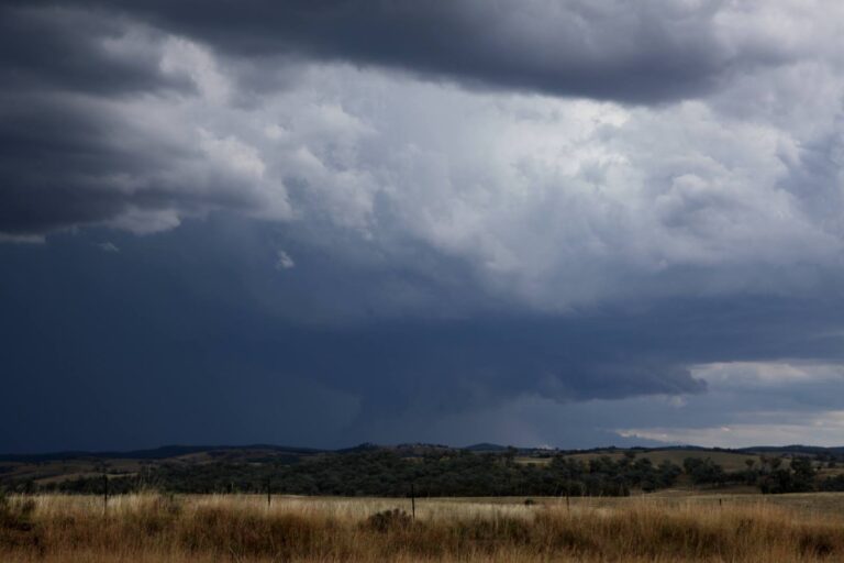 When we used to get storms
Cell coming up to E of Texas, NSW #storm #supercell #hailstorm #mobileuploads
Not for Media Use Licencing Available
26 Dec 2022 · Texas, NSW
When we used to get storms
Cell coming up to E of Texas, NSW #storm #supercell #hailstorm #mobileuploads
Not for Media Use Licencing Available
26 Dec 2022 · Texas, NSW
 Radar and Fire Hotspot Locations
26 Dec 2019 · Warragamba, NSW
Radar and Fire Hotspot Locations
26 Dec 2019 · Warragamba, NSW
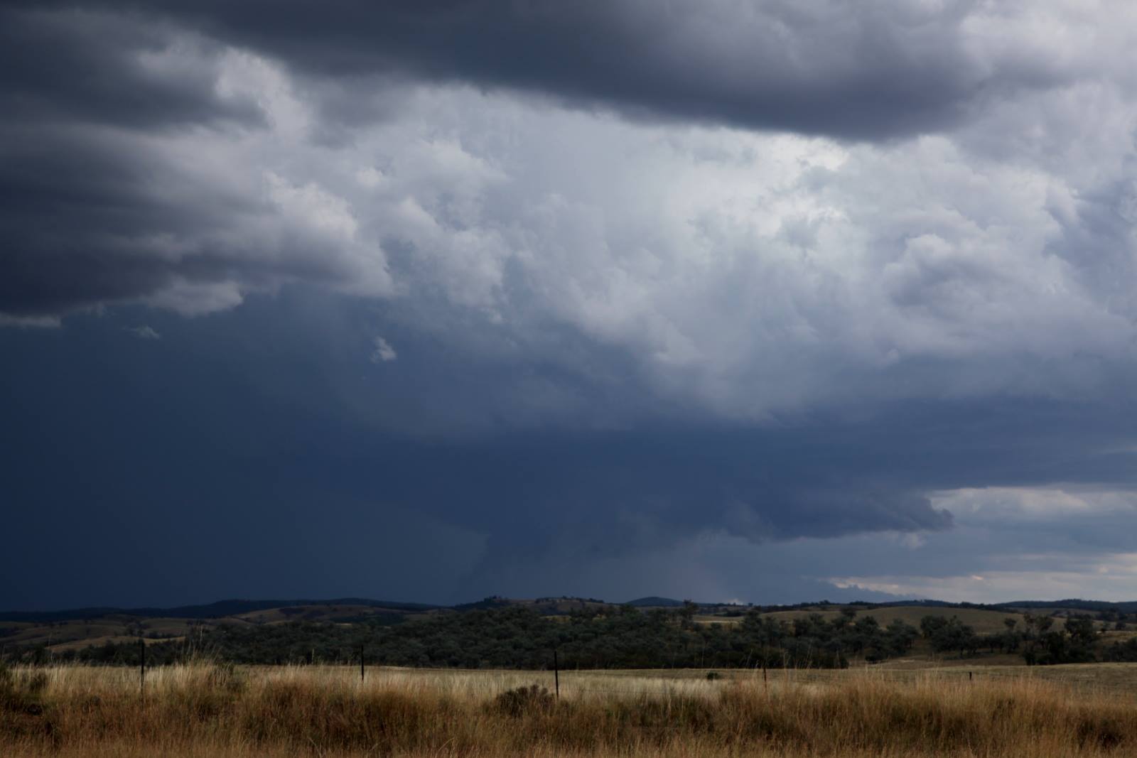 When we used to get storms
Cell coming up to E of Texas, NSW #storm #supercell #hailstorm #mobileuploads
Not for Media Use Licencing Available
26 Dec 2017 · Texas, QLD
When we used to get storms
Cell coming up to E of Texas, NSW #storm #supercell #hailstorm #mobileuploads
Not for Media Use Licencing Available
26 Dec 2017 · Texas, QLD
 Braidwood Hailstorm 26th December 2013
26 Dec 2013 · Braidwood, NSW
Braidwood Hailstorm 26th December 2013
26 Dec 2013 · Braidwood, NSW
 Storms Narrabri-Moree 22 December 2012
26 Dec 2012 · Narrabri, NSW
Dew points pretty low this morning
26 Dec 2006 · Sydney, NSW
Lightning active weak cells Evans Heads
26 Dec 2006 · Evans Head, NSW
Storms Narrabri-Moree 22 December 2012
26 Dec 2012 · Narrabri, NSW
Dew points pretty low this morning
26 Dec 2006 · Sydney, NSW
Lightning active weak cells Evans Heads
26 Dec 2006 · Evans Head, NSW
5 comments
Add a comment
You must be logged in to post a comment.
Time for you Harley for a report on rainfall across NSW.
The rain we had was concentrated across the north east quadrant of New South Wales and into Southern Queensland. The rainfall affected Sydney then areas west to roughly Cowra, then a line north to Dubbo and Narrabri and into southern Queensland. Areas west and south received no rainfall for the day and would have had a dry clear Christmas Day.
Across Sydney, Camden only had 10 mm being he lowest total while Turramurra had 31 mm being the highest total. Generally falls of 11 mm to 31 mm were spread across the city with more to the north and less towards the south. Prospect had 28 mm while Blacktown had 19 mm.
I have noticed for the second time running that the weather station at Windsor does not appear to be functioning properly or not recording rainfall. Hence the weather event there for the 24 and 25 December has not been recorded or not available.
Rainfall totals for Christmas Day reached 101 mm at Mt Seaview being the highest total, Dorrigo 98 mm, 73 mm around the Barrington Tops, 63 mm at Murrurundi, 60 mm at Woolbrook, 57 mm at Dungog and 56 mm at Upper Chichester. Falls do taper off further north and west.
During Christmas Day, I did hear the ocassional rumble of thunder where I was at Northmead with passing rainbands and showers plus a heavy rain shower at Bella Vista earlier on.
I have included the NSW rainfall plot from the “Water and the Land” Bureau of Meteorology showing where the rainfall occurred for the 24 hours 9 am 25/12/12 to 26/12/12.
I also provide the Sydney rainfall plot for the same period. I am unsure why there is no record for Windsor so that record is incorrect for the second day in a row.
I chased the Windsor cell from the south,
Nick
Thanks for the extensive rainfall updates Harley Pearman – Turramurra does it again!