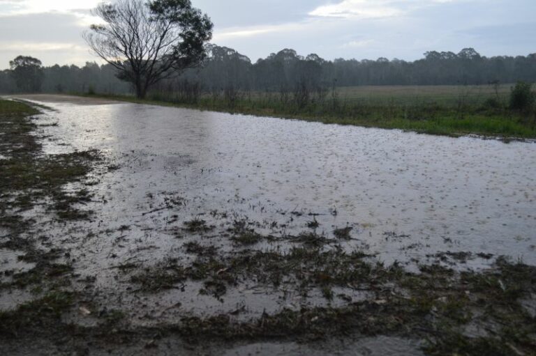
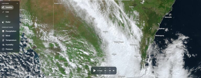
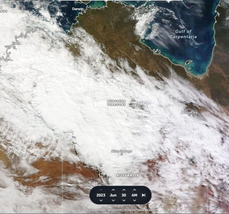
The day of the Coonabarabran tornado. See below for info on the tornado and model analysis/satellite images-
http://www.australiasevereweather.com/storm_news/2005/docs/200501-04.htm
Early development west of Marulan. Nice structure with good updraft/downdraft seperation. I suspect this later developed into the storm that moved through the Berry region. I left this storm for stronger storms further south-
Hail at Lake Bathurst, I arrived just after the main storm and was hit by small (0.5 – 1 cm) hail from a seperated storm-
Tree damage west of Berry on the road that heads to Kangaroo Valley. These photos were taken several days after the event-
Sydney radar loop (note, I did not make this gif file, I downloaded it from another website many years ago)-
Damage west of Berry seems to coincide with a strong storm merging with another storm to its north. This then forms into what appears to be a HP supercell which moves out to sea south of Kiama. Another supercell develops to the NW of this storm which then moves directly over Kiama. The radar presentation of the later supercell is very nice. I would have to think that the damage west of Berry was caused by straight-line winds. The damage path width is relatively wide and the damage is not very severe (for a tornado anyway). Also, most of the damage seems to indicate strong westerly or south-westerly winds. Though, I suppose a tornado can't be ruled out.
Michael