During the period 15 to the 20 July 2024, at least two distinct cold outbreaks occurred across Southern Australia that brought a combination of rain, snow, gale force winds and cool to cold daytime maximum temperatures.
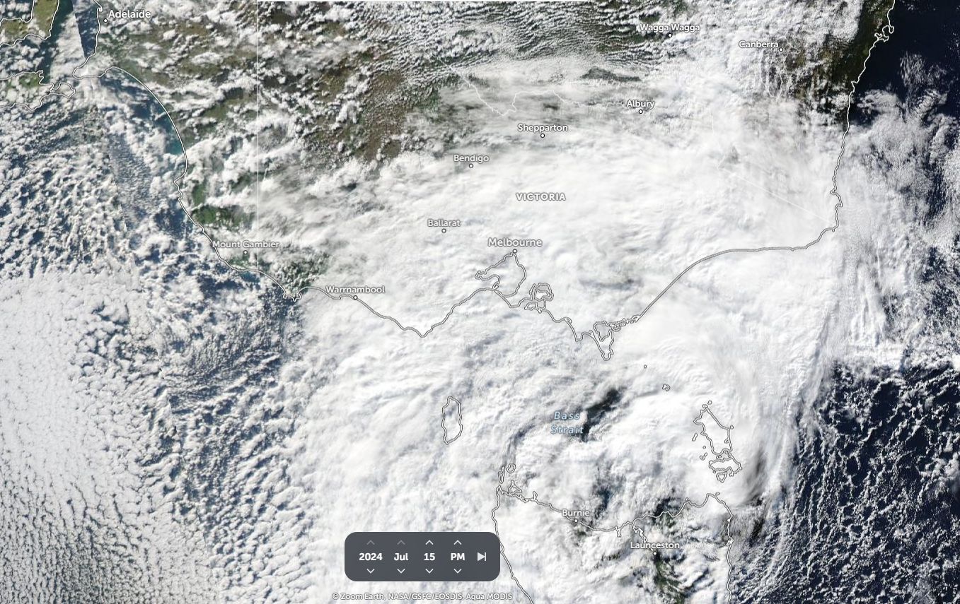
As shown within the feature image above being a detailed satellite picture of Southern Australia of Monday 15 July 2024 (NASA Worldview), a distinct low pressure cell is clearly visible with the core just to the north of Tasmania with thick cloud to its north and west. Speckled cloud further to the west clearly shows a deep but cold air mass.
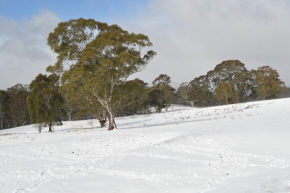
The cold air mass associated with the low traveled north over Victoria and into New South Wales producing some cold conditions and snow events to low levels. While good falls of snow occurred at higher elevations, the amount of snow that fell to lower elevations was not too significant compared to known recent events.

As such, light snow fell across higher elevations of the Central Tablelands and higher elevations of the Northern Tablelands. When reviewing satellite pictures following the event, it would appear that such snow melted rapidly. It is noted that the effects of the low pressure system waned during Tuesday and into Wednesday.
While maximum daytime temperatures were low, they were not as low as what could occur at this time of year. For example:
Orange (Central Tablelands) - With Monday being the coldest day, the minimum temperature was only 1.2C with the maximum temperature reaching 4.3C.
Guyra at 1,330 metres in elevation on the Northern Tablelands Tuesday and Wednesday were cold days but not as cold as what could occur being:
Tuesday - Minimum - 0.8C and Maximum 4.6C.
Wednesday - Minimum 0.9C and Maximum 3.8C.
Cooma (Monaro region) - Tuesday was the coldest day with a minimum of minus 3.4c occurring but the maximum daytime temperature reached 9.7C.
While snow fell to lower elevations, it was not a major event for localities at such elevations.
The event did produce good rainfall for parts of southeast Victoria south of Great Dividing Range with isolated locations receiving 50 to 100 mm from this event.
Conditions did improve Wednesday to Friday.
Second cold outbreak
A cold front passed rapidly across Southern Australia during Friday and into Saturday providing another burst of cold wintry weather. This brought useful rainfall totals to northeast Victoria and southern inland New South Wales with towns and localities just to the north or west of the Great Dividing Range receiving the best rainfall totals of at least 20 mm or more.
The front brought strong to gale force winds even to Sydney with some of the following peak wind gusts occurring across the city:
- Sydney Airport - 78 km/h at 1.50 pm.
- Penrith - 80 km/h at 11.42 am.
- Richmond - 80 km/h between 12 noon and 12.08 pm.
- Blackheath - 93 km/h at 11.50 am (The weather station sits 1,080 metres above sea level).
- Moss Vales (Southern Highlands) - 98 km/h at 1.13 pm (The weather station is located 678.4 metres above sea level).
It would appear that the strongest wind gust that can be found in New South Wales for the day is a single gust of 107 km/h at Thredbo Top Station (Elevation 1,957 metres above sea level) at 4.08 am Saturday morning.
It should also be noted that peak wind gusts here reached up to 126 km/h at 3.30 pm Friday afternoon at 3.30 pm as the cold front passed through.
A peak wind gust of 102 km/h was recorded at Mt Buller (Northeast Victora) at 7.30 pm on Friday 19 July (Elevation 1,707 metres above sea level).
The effects of the second system was more to do with cold west and south westerly winds, snowfall being more limited to the higher elevations of the south east and showers on or west of the Great Dividing Range across south west New South Wales and Southern Victoria.
The event did cause additional impacts across Sydney with trees being blown down and some power losses as well as closing the east to west runways at Sydney Airport for a period.
The fast moving front has cleared southern Australia with the weather now settling down.
