The Australian tropical cyclone season usually starts in November and concludes during April. Generally, it is rare to see a tropical storm develop into a tropical cyclone within Australian waters during the month of November. However, Tropical Cyclone Fina has achieved this rare feat and is now one of the earliest such storms to develop so close to Australia during the month.
Other such recent storms that have achieved this feat are:
- Tropical Cyclone Alessia (22 November 2013).
- Tropical Cyclone Quenton (26 to 30 November 1983).
- Tropical Cyclone Ines (November 17 1973).
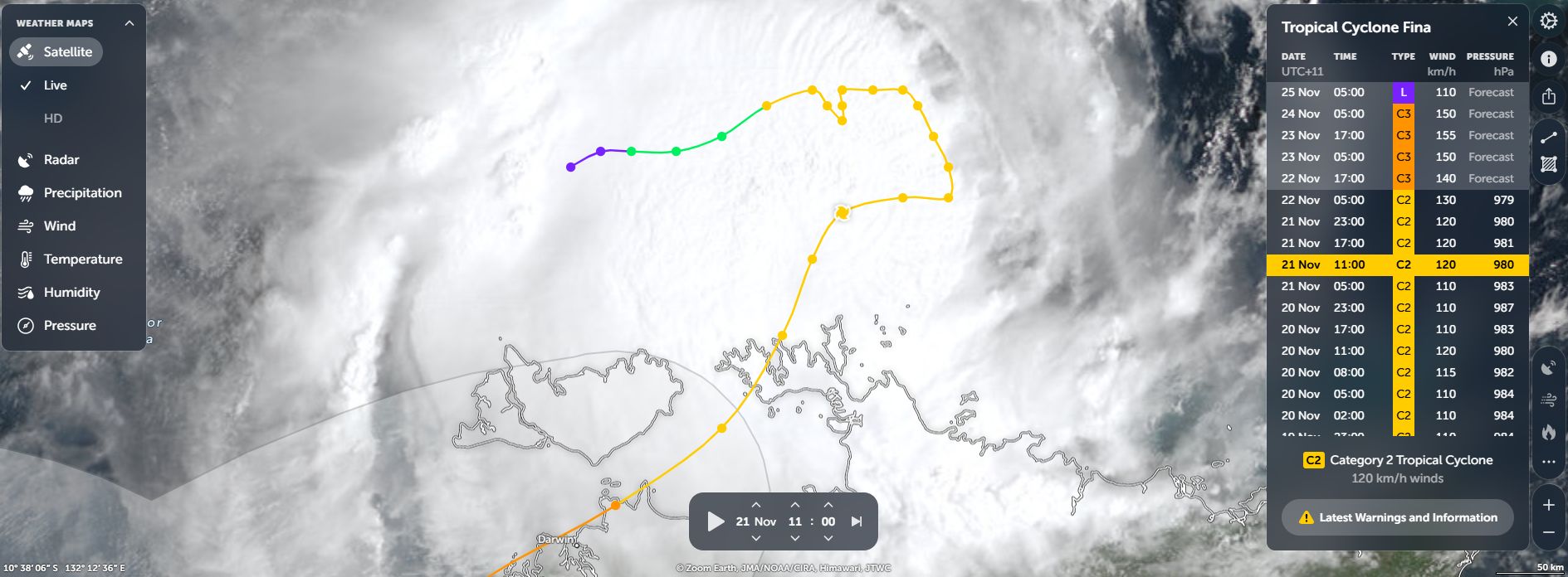
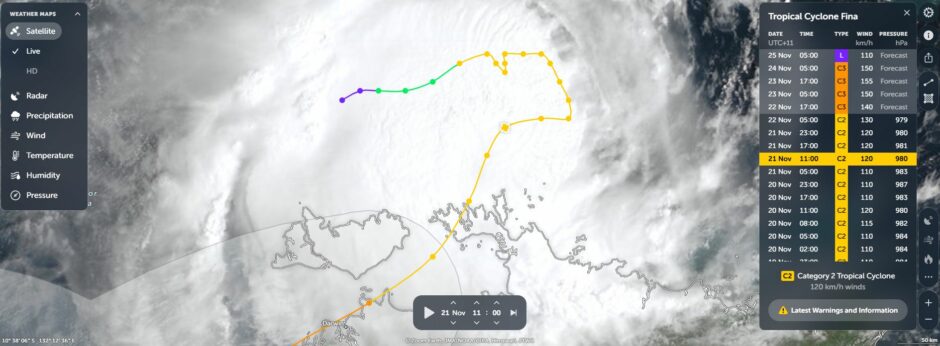
Tropical Cyclone Fina formed on the 19 November and was slow moving. Initially, it was tracking to the east but changed course to the south and southwest. As at Saturday morning, the centre of the storm had crossed the Coburg Peninsula of the Northern Territory and was starting to approach the city of Darwin.
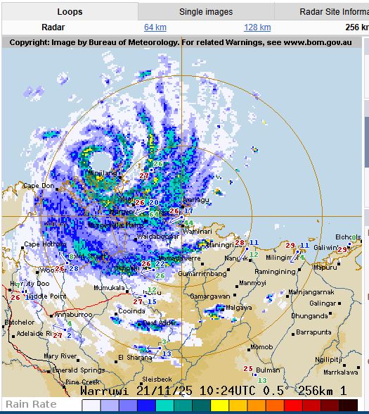
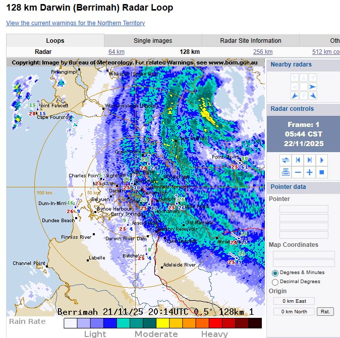
Saturday morning, the outer rain bands were passing across Darwin city and at least 16 to 25 mm of rain had fallen by 6 am with much more expected.
In Australia, tropical cyclones are rated in accordance to the Australian Tropical Cyclone Intensity Scale 1989 with the storm rated as a Category 1 system. The storm has potential to intensity to a Category 2 system over coming days as it tracks towards the Western Australian coastline (Kimberley region). There is even talk of the storm morphing into a Category 3 system.
Under the Saffir Simpson Scale, the storm is rated as a high end tropical storm (Below Category 1 strength). This is interesting because CIMSS does project the storm to morph into a Category 1 system during Saturday and maybe a Category 2 system as it nears the Western Australian coastline.
This would sustain peak wind gusts to 80 and 85 knots or 145 to 155 km/h at the core over coming days.
The storm is supported by unusually warm waters heated to 30C and 31C which is unusual for this time of year.
The storm has a clear circulation surrounding an eye.
At 6 am Saturday morning:
- The heaviest rainfall to that time was 210 mm at Nurganella Airstrip.
- Peak wind gust was 104 km/h at Mc Cluer Island at 2 am.
The storm is slowly moving south westward and is approaching Darwin but should pass to the north of the city.
This is an unfolding system that will be watched to see what occurs.