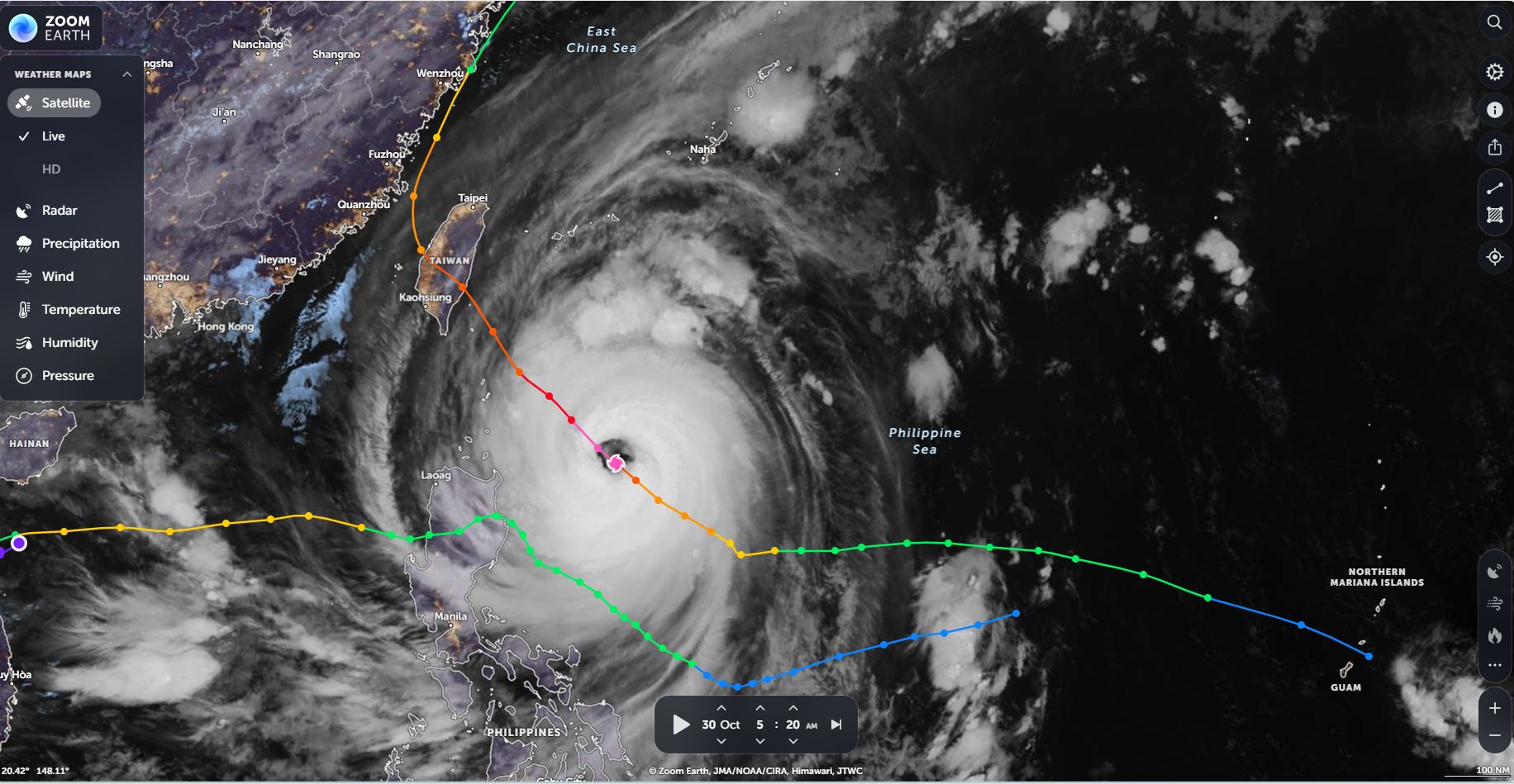
The island of Taiwan is an island that is prone to typhoons blowing in from the southeast off the Pacific Ocean. When such a storm approaches the island, a mountain barrier traversing in a north to south direction modifies such a storm as follows:
1 - Orographic rainfall is likely to occur due to how the mountain barrier impedes the flow of such a storm.
2 - Considerable rainfall occurs on the windward side of the mountain range resulting in major flooding of valleys as well as landslides.
3 - Very little rainfall crosses to the west coast which is where the majority of the population lives.
The eastern side of the island is lightly populated when compared to the heavily populated west side.
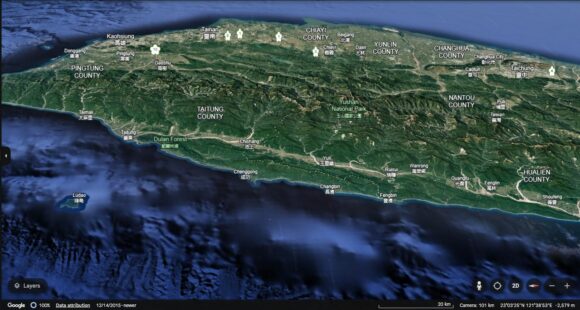
The image of Taiwan looking west (NASA Google Earth) shows the mountain barrier in a high level of detail. The highest mountain on the island being Jade Mountain tops out at 3,952 metres.
On Thursday 31 October 2024, Super Typhoon Kong Rey which at peak intensity reached a Category 5 storm on the Saffir Simpson Scale, made landfall over the south east coast of Taiwan. While the storm had weakened to a Category 3 system at landfall, it still had considerable impact in terms of its rainfall.
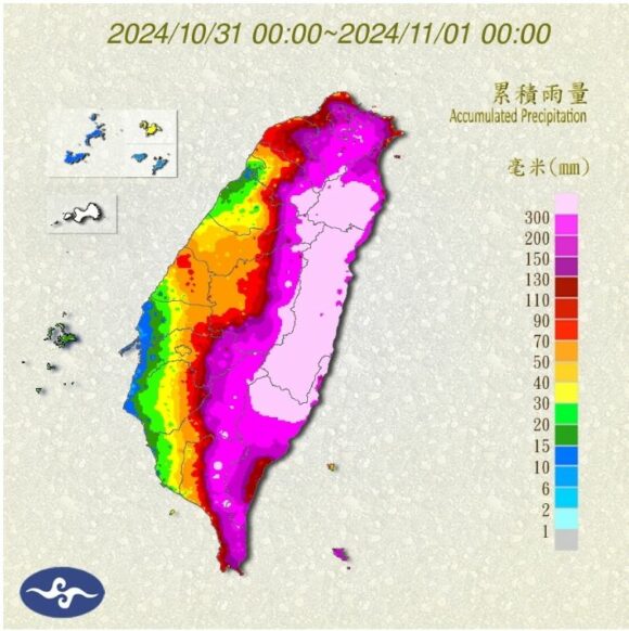
The mountain barrier crossing through the length of Taiwan allowed orographic processes to occur. This resulted in rainfall totals topping and exceeding 1,000 mm at selected locations.
Note - Orographic rainfall occurs in all land falling storms here.
When viewing the rainfall data, it is identified that some of the rainfall within the foothills of the mountains are incredibly high with widespread falls exceeding 400 to 500 mm with some locations receiving 800 mm totals. Further, one location received an incredible 1,218 mm on the Thursday (The day of landfall).
Such rainfall leads to serious flash flooding, riverine flooding, landslides and considerable property damage.
The landfall of Typhoon Kong Rey is one such storm.
Some rainfall totals for the 31 October 2024 are identified below when reviewing the final figures from the local weather stations.
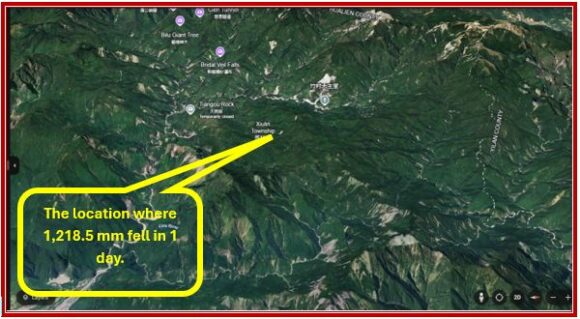
Xiulin (Hualin County) - 1,218.5 mm (Station Number - COT82)
Comment - This works out to be an average of 50 mm per hour if averaged across 24 hours.
Xiulin in Hualin County as shown below on Google Earth. The area is rugged and mountainous and thus orographic rain would have played a significant role.
The figure exceed the average yearly rainfall for much of Sydney and the 1 day total for Xiulin is approaching the equivalent of two years rainfall for some areas of outer Western Sydney.
- Mardarin Duck Lake (Datong Township) - 830 mm.
- Xiulin (Hualin County) - 817.5 mm.
- Taiping (Datong Township) - 808 mm.
- Xiulin Township (Hualin) - 779 mm
- Shimizu (Forest Road) - 718.5 mm.
- Datong Yilan County - 696 mm.
Once the storm made landfall, it weakened but tracked northwards across the island eventually producing considerable rainfall totals across the capital city of Taipei.
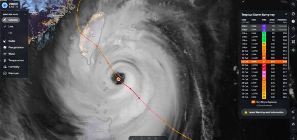
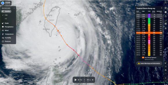
The satellite photos of the storm using Zoom Earth (NASA) with various overlays shows the storm at peak intensity and just prior to landfall. The eye of the storm is unusually large surrounded by a ring of intense rains and wind. The storm may have sustained peak wind gusts to 280 km/h as it passed over Orchard Island (Lan Yu) making this a powerful storm at peak intensity and giving it a Category 5 rating on the Saffir Simpson Scale.
