To date, it has been a relatively quiet storm season for Sydney and up until Sunday 17 November 2024, there were still a few areas of the city and surrounds that had not experienced a thunderstorm this season.
All that changed Sunday afternoon / evening when a squall line event passed right across the city from west to east. The event brought a period of gusty winds (Not damaging), a period of moderate to heavy rain and a reasonable amount of lightning.


The storm event developed across the Riverina region of New South Wales earlier that day (Sunday). It rapidly crossed through eastern New South Wales during the afternoon and into the evening. Generally, by the time the event reached the Canberra / Yass / Goulburn region, the system could have been regarded as being a large rain complex with embedded thunderstorms within the system.
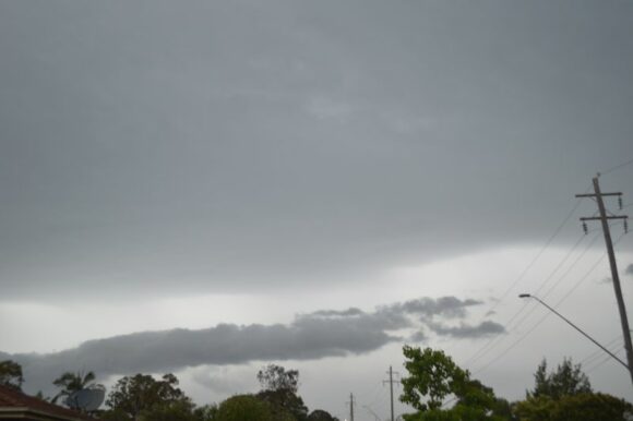
I did not chase the event given that the system appeared to be structureless. However, as the system neared Sydney, the rain / storm band became more linear and a stronger squall line began to develop.
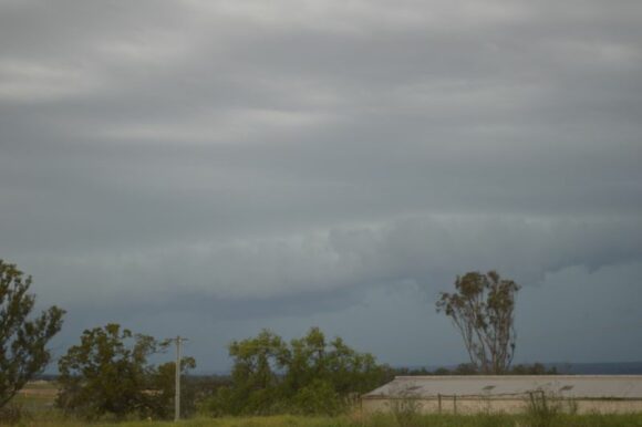
After 4.30 pm, I decided to head out travelling west along the M4 Motorway, then south to Luddenham, At Luddenham, I was able to observe some inflow and shelf cloud structure which provided some interest.


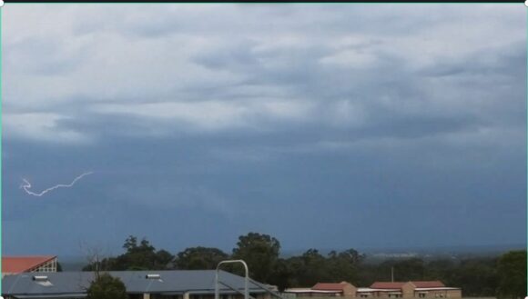
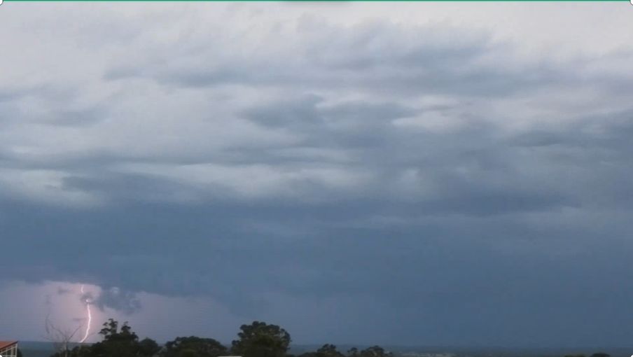
I was able to observe occasional cloud to ground lightning and I took time to film some of this. As the system neared me, I decided to return to Blacktown keeping ahead of the main squall.
I managed to film / photograph some iintra cloud lightning early evening. There was even a period where there was reasonable lightning activity occurring.

The event crossed the whole of Sydney and a large portion of Eastern New South Wales. According to Weatherzone, the Sunday storm system generated approximately 1,233,886 lightning flashes within 600 km of Parkes (Central West New South Wales).
The system was part of a wider thunderstorm generating system that was lightning active for much of Sunday. Generally, the event produced widespread 10 to 25 mm rainfall across large areas of New South Wales including Sydney.


Most of my photos are from my video film taken at Luddenham and Doonside. The images show various forms of lightning observed. For the areas of Sydney that had not experienced a storm so far this season, the event certainly broke that storm drought.
