
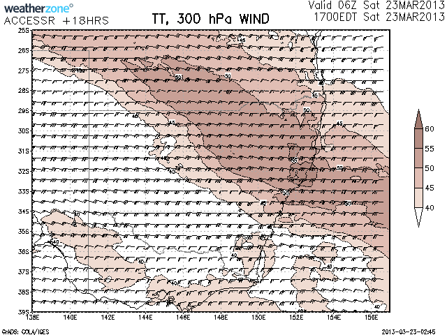
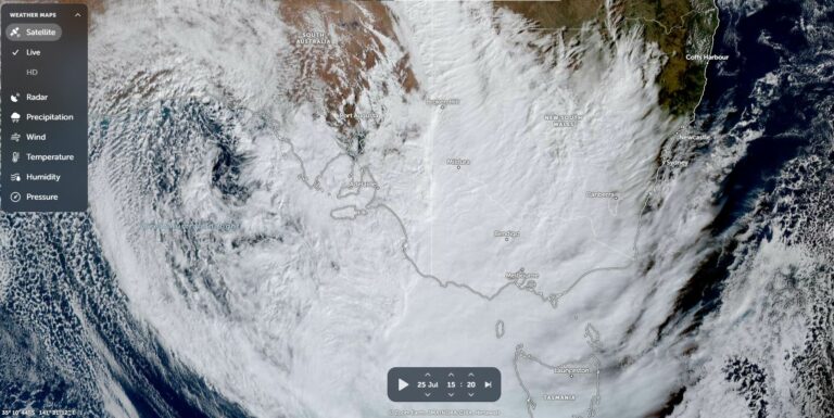
 Storms are once again anticipated today across eastern NSW. Some of the storms are likely to be severe as moist air is injected into an unstable environment. Shear is sufficient for severe storms to be sustained and perhaps some line segments may also develop in parts of the region.


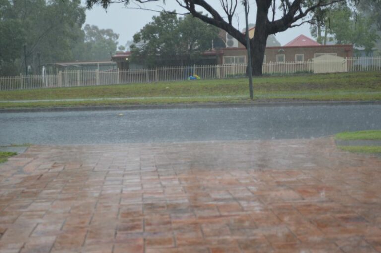
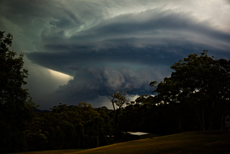
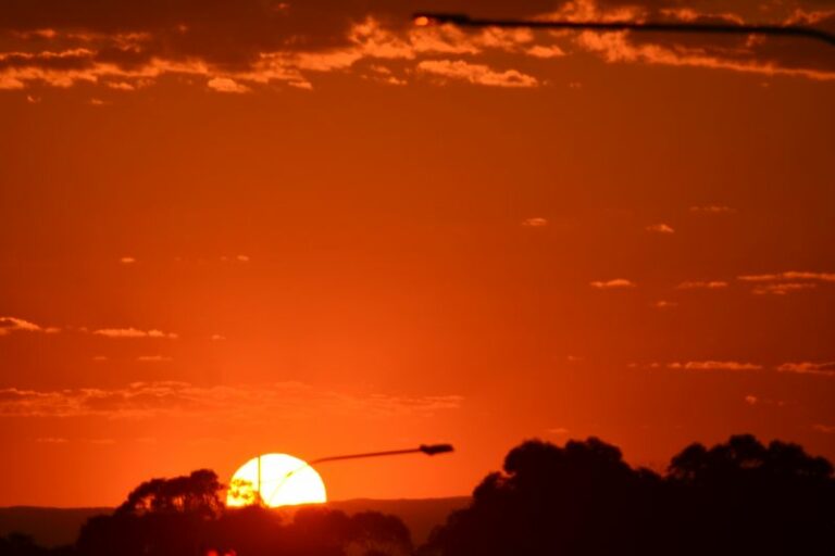
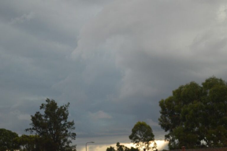
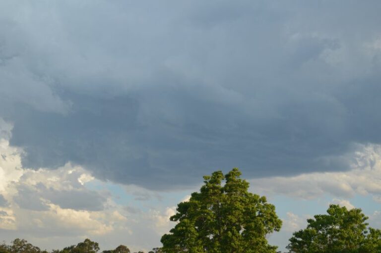

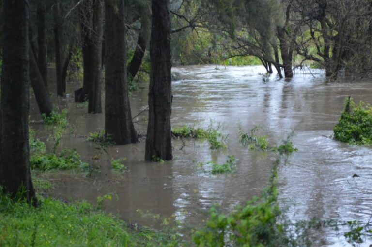
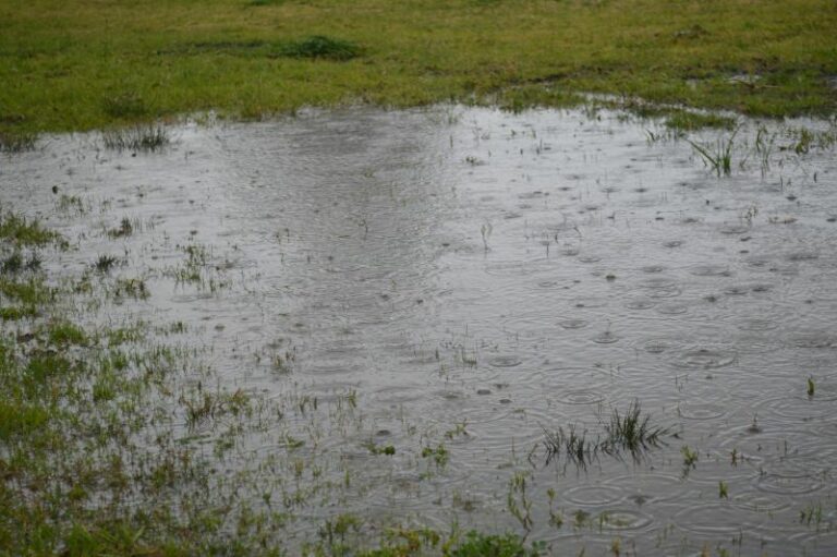
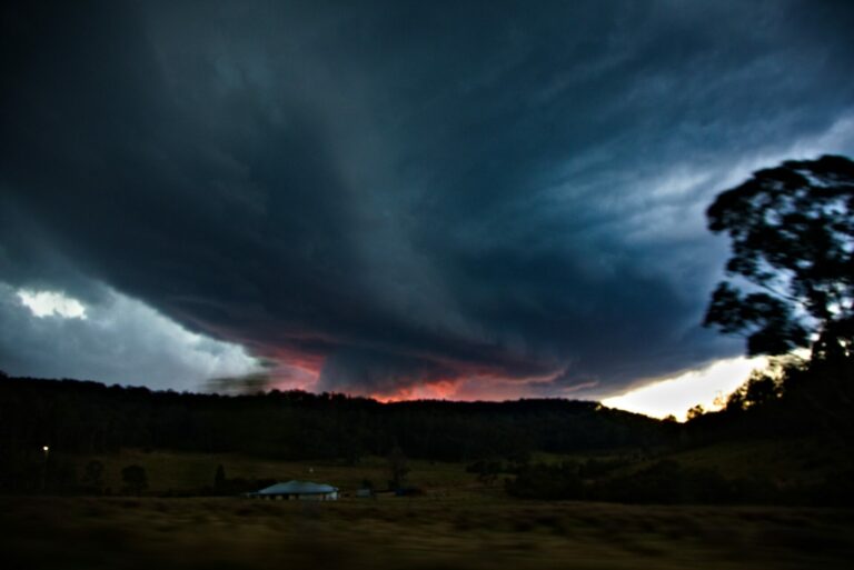
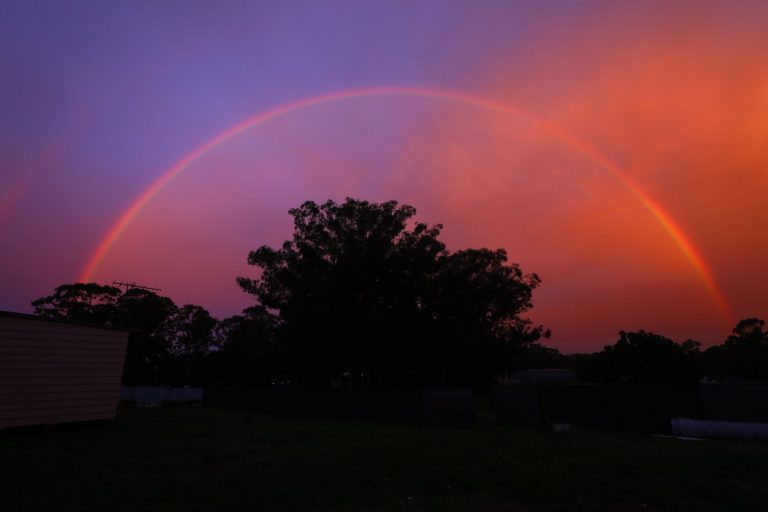

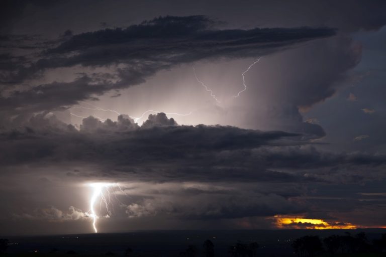
Saturday afternoon (23 March 2013), a number of storm cells developed over and around western Sydney. Most were small but if in the right place with the right lighting, they offered wonderful opportunities for photographs. The last cell of the day passed over Blacktown bringing sizeable raindrops. As it passed east, the contrast in the sky was spectacular, especially as the storm cell revealed itself.
Further photos of the storm cells.
This cell passed to the north of Blacktown.
This cell passed to the east of Blacktown and developed this tower.
Part of a developing cell to the east of Blacktown.
Following a brief but heavy shower, this storm cell unfurled across the sky to the immediate east. The crisp sharp towers provided a sharp contrast to the clear sky.
I was advised today that this cell produced some very small hail around Ryde but minimal number of thunderclaps.
The final photo in this sequence.
Nice pictures of the updrafts Harley!
Pictures from yesterday’s chase
The storm approaching.
Then the storm over head. This did look like a little bowing segment