During the afternoon of Saturday 2 December 2023, I undertook a storm chase to an area just south of Sydney taking in the following localities:
- Wilton.
- Picton.
- Mittagong.
- Hilltop.
- Hume Freeway corridor between Campbelltown to the north and Mittagong to the south.
This turned out to be a solid storm chase and the best so far this season. Thunderstorms were more structured than those encountered of Wednesday 29 November 2023. There were 3 hail events around the Southern Highlands town of Mittagong and a further event in a rural area north of Pheasants Nest on the Hume Freeway that I intercepted or observed.

Some of the storms featured strong cloud to ground lightning strikes and associated thunderclaps.
I was in regular contact with Jimmy during this chase and we were guiding each other but in separate cars targeting different parts of the same storm system.
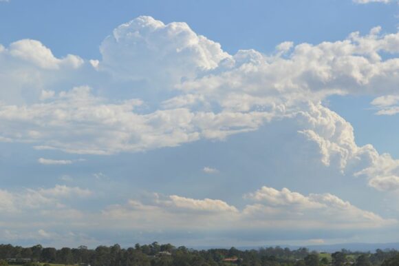
I left home at around 2 pm and travelled south along the M7 Motorway then the Hume Freeway to intercept the first thunderstorm just south of Wilton. An earlier storm cell had weakened and a second cell was also in the throes of weakening. Photos were taken before I left the area.
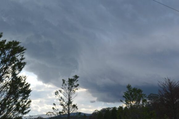
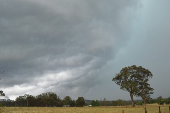
I then travelled north to Camden to escape a south east wind change then drove south again to a rural area to watch new cloud towers form.
I then drove to the summit of the Razorback just north of Picton to watch and photograph a new thunderstorm cell form approximately 30 km to the south. I then drove south to Mittagong to intercept a significant storm base that had structure. This cell was producing some strong cloud to ground lightning strikes.
After alerting Jimmy to this cell and taking photos, I drove into town and noted hail had fallen moments earlier. I observed hail on the ground up to 2 cm in diameter and took several photos. The hail swathe on this cell was narrow being no more than approximately 2 km wide and located on the northern side of the shopping district.
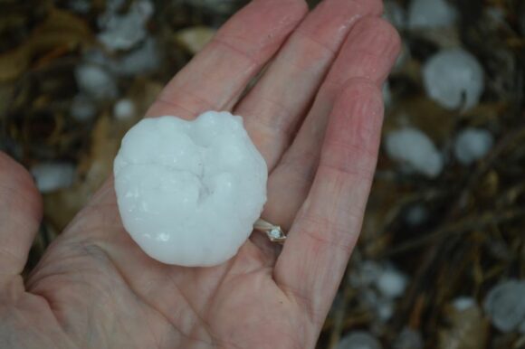
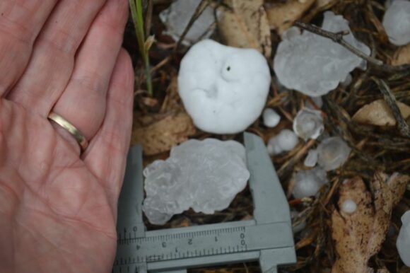
I then drove through town to the southern side where I intercepted another hailstorm. That storm produced hail to 1 and 1.5 cm in size and maybe the occasional larger stone.
I then left that area and drove north east where I intercepted the storm but another part that was producing much larger hail. Some hail of around 2 cm in size was hitting the ground as I entered the Hume Freeway. There was a brief traffic bank up within the area due to this hail.
I drove to the overpass at Hilltop where I stopped only because I was noticing much larger hail stones had fallen at this location. I stopped and discovered fresh hail to 4 cm in size. I took measurements and photos confirming hail up to 4 cm had fallen.
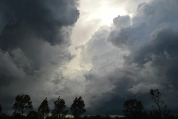
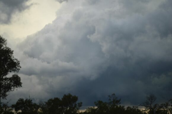
Following this, I drove to Pheasants Nest. I took photos of 3 storm cells around me. I even took video trying to capture some of the lightning strikes.
Prior to sunset, an intense rainstorm / thunderstorm swept over the area. I let much of it pass over me to see if there was any further hail in that but there was not. However, once I left and drove further north, I intercepted a hail core in a rural area south of Campbelltown but on the freeway.
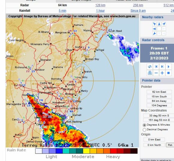
I kept up with the storm all the way through Camden then north to Luddenham. I broke out of it at Luddenham. Areas further north missed this event completely.
I returned home just prior to 9 pm having had a solid afternoon chasing and the best for some time.
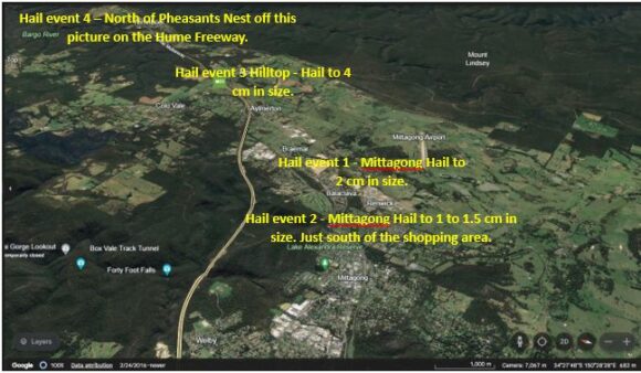
I have attached my photos and have prepared a Google Earth diagram showing the hail events or hailstorms that I intercepted or documented. It is interesting to note that there were three separate events around Mittagong or surrounds during my time in that location.
It should be noted that there would have been more hail events at other locations given the nature of the thunderstorms and the height of the cloud tops that afternoon.
