Extreme Storms

Photos · Rain

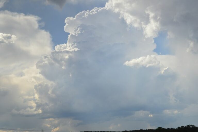
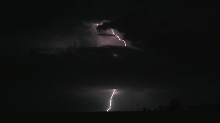
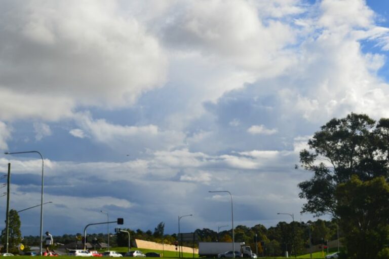
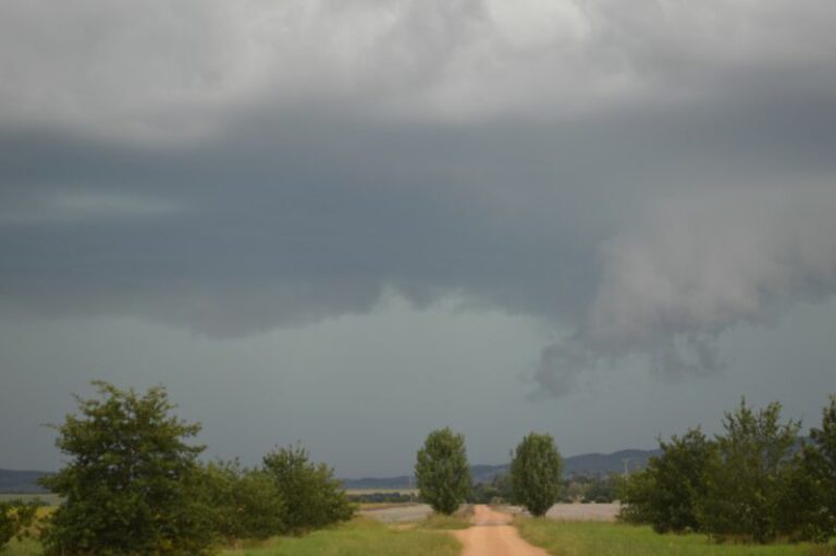
Spectacular storm cells Conroys Gap to Yass NSW 30/1/2016

· by Harley Pearman

Stormimage1

StormA

StormB

Stormimage2

Stormimage3

Stormimage5

Stormimage6

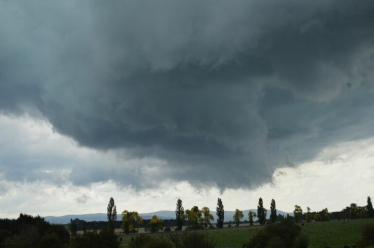
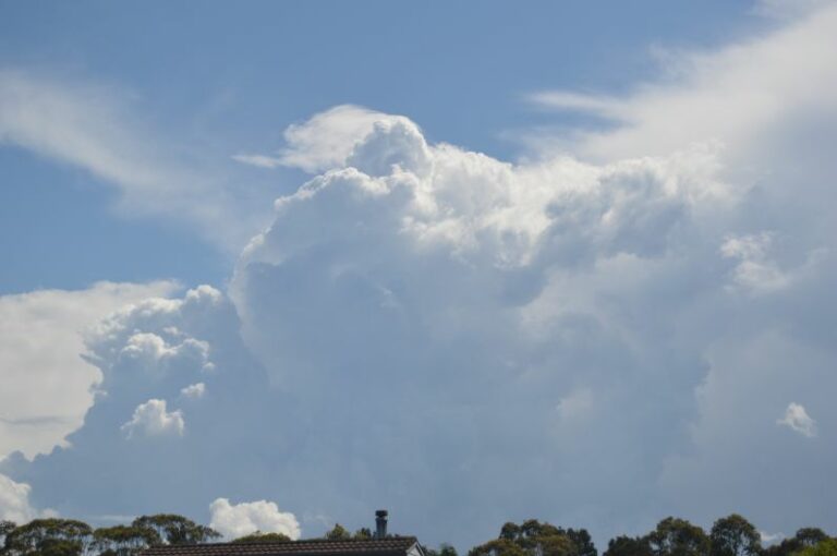
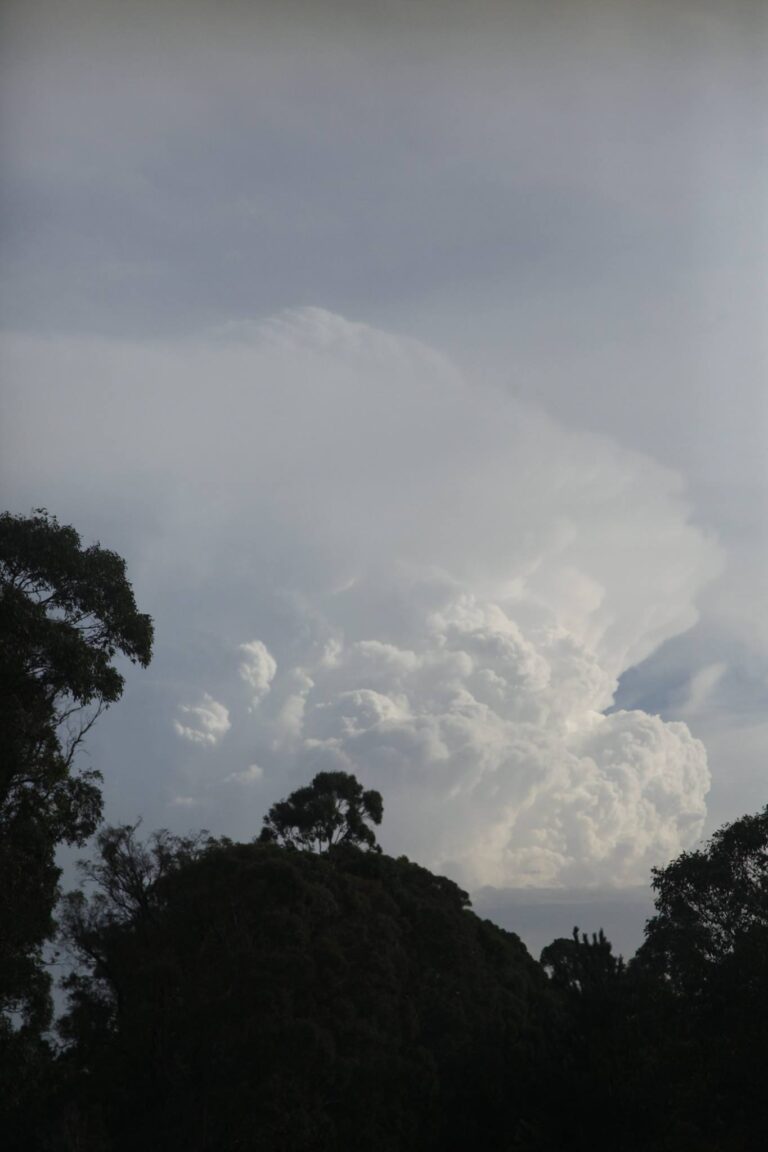
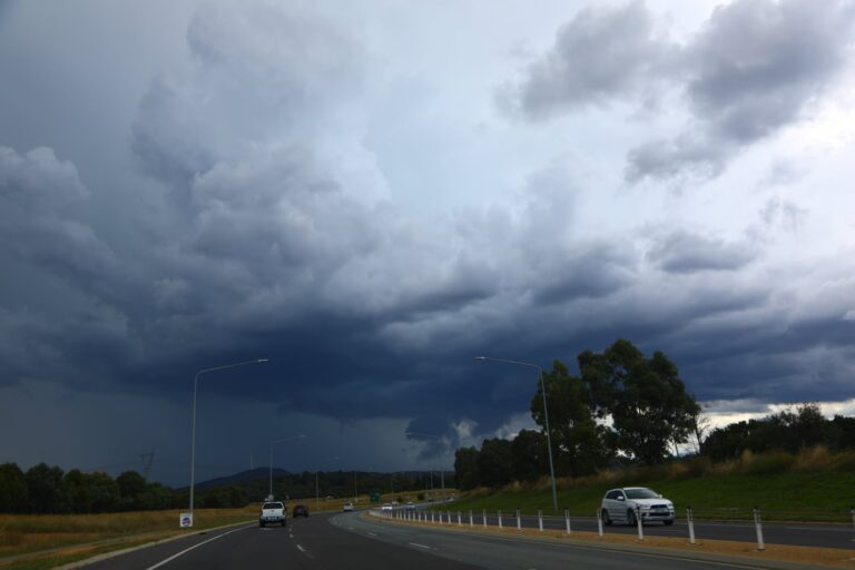
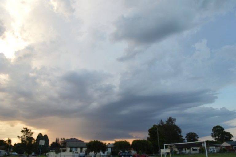
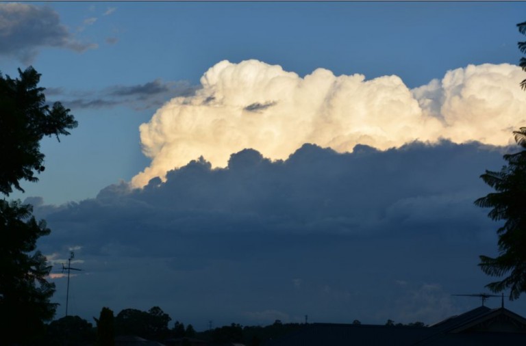
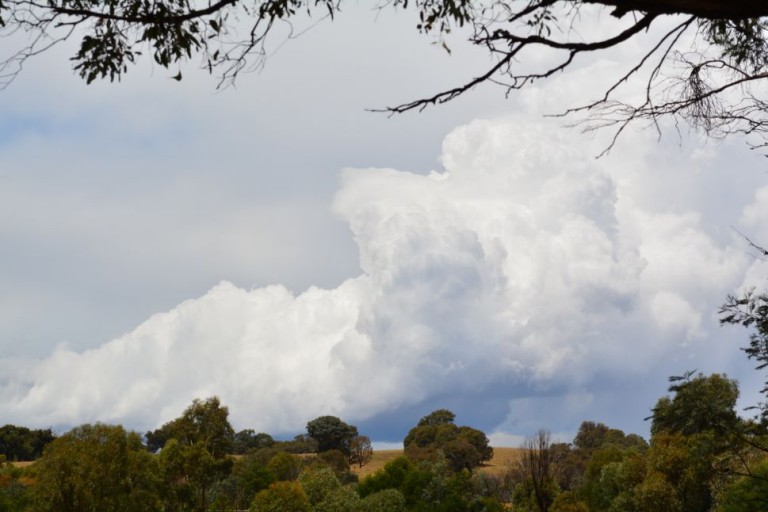
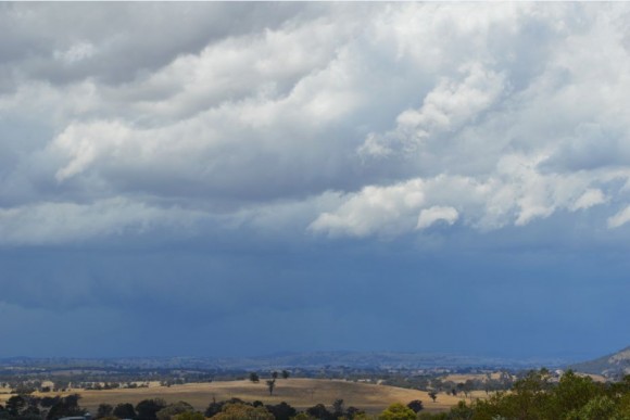
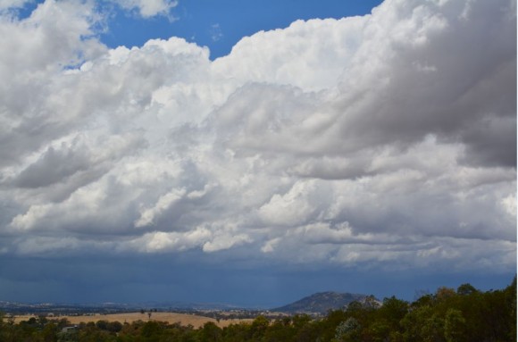
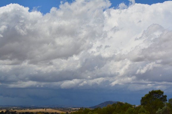
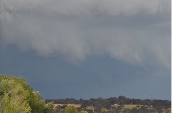
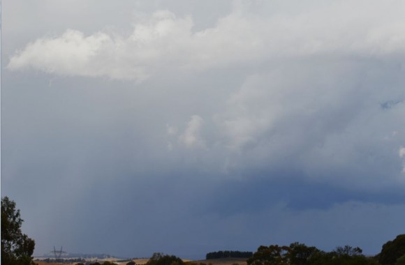
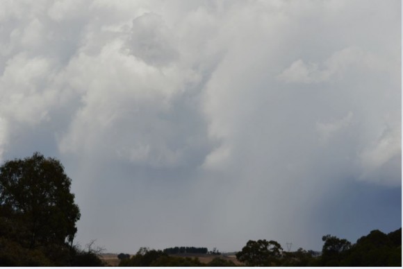
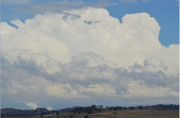
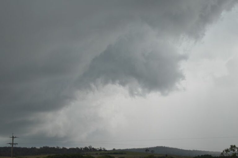
The images of the thunderstorm near Conroys Gap (New South Wales) were taken during my return trip to Sydney from Albury.

I had expected some thunderstorm activity during my journey given the weather forecasts that were being made however I had no opportunity to undertake any detailed weather forecasts. I was relying on a basic weather map for Southern New South Wales prepared by the Border Mail (Albury / Wodonga’s local daily newspaper) and I was amazed that it was reasonably accurate.

I left Lavington at 9.44 am and drove to a township called Jugiong approximately 220 km north east where I had lunch and watched a pre storm environment develop further to the east. Large cumulo congestus clouds were seen building between 12 noon and 1 pm and near 1 pm, I headed further east towards Conroys Gap. As I crested the gap on the Hume Freeway, I was greeted with the first storm as shown in the images.

Given the clear skies, this was a high contrast storm cell. There were no storms further west. This storm began a 7 to 8 hour long chase that stretched some 250 km along the freeway including numerous stops and a significant storm at Goulburn.

This storm was travelling south and I drove through short but heavy bursts of rain. One of the photos suggest hail falling but I did not encounter hail as I drove through it on my way towards Goulburn.

As a result of this storm, I took a number of detours to obtain as many images as I could. This storm went into an area of no roads because it crossed over the Brindabella ranges and Snowy Mountains further to the south.

This storm was a highlight due to the high contrast of colours that were produced as I closed in on the cell from the west.
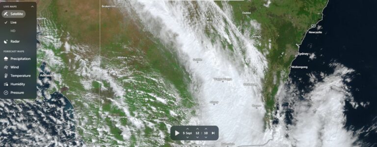
Open the storm map around Yass, NSW

More storms near Yass, NSW

From 27C at Batemans Bay to 13C at Braidwood – A Contrast across the Cold Front – Saturday 5 September 2026 6 Sep 2026 · Batemans Bay to Braidwood, NSW Storms Southern Tablelands and storm chase Batemans Bay to Sydney – Saturday afternoon 8 February 2025 9 Feb 2025 · Southern Tablelands, NSW Severe warned afternoon storms and storm chase – Southern Highlands of NSW – Saturday 4 January 2025 5 Jan 2025 · Southern Highlands, NSW A difficult storm chase finishes with a coastal lightning show – South East New South Wales Wednesday 1 January 2025 2 Jan 2025 · South East NSW Coastal rainfall continues including heavy rainfall on the New South Wales South Coast – Sunday 12 May 2024 12 May 2024 · South Coast NSW Storm chase including severe storm that impacts Tirrannaville locality – 23 February 2024 24 Feb 2024 · Tirrannaville, NSW Severe Storms South East Australia – 2 and 3 January and Storm Chase 3 January 2024 4 Jan 2024 · Braidwood, NSW Convective Storms – New South Wales South Coast – Monday 7 November 2022 9 Nov 2022 · Batemans Bay, NSW Memory of explosive supercell The Gunning cell like others today was insane. You need to get a perspective of the height! 12 Feb 2022 · Gunning, NSW Possible supercell based on warning for Canberra early this afternoon 31st January 2022 Not for Media Use Lcensing available 31 Jan 2022 · Canberra, ACT Heavy rain and flooding – New South Wales South Coast – 4 to 7 May 2021 7 May 2021 · South Coast NSW floods Has it been 3 years? Braidwood , Jeff Brislane and I took the risk of heading do… 30 Oct 2020 · Braidwood, NSW

All storm reports from Yass, NSW →

Also on 31 January

Add a comment

After the storm Hail damage repair Hail dents removed from behind, factory paint kept. Hail Dent Repair.
Coming soon Radar and storm forecasting Live radar tools and severe storm forecasts from the Extreme Storms team.