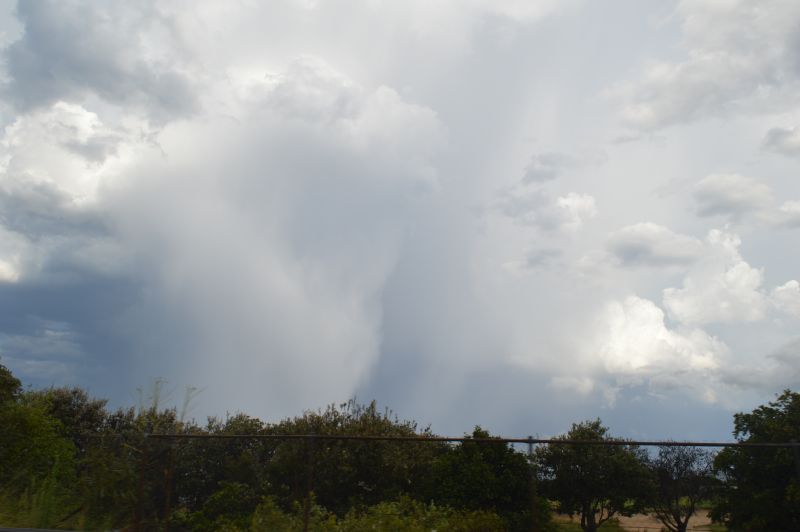
Friday 27 December turned out to be an interesting day weather wise across eastern New South Wales for the following reasons:
1. A weak morning thunderstorm passed over Sydney and areas to the north between 7 am and 9 am but rainfall was relatively low being 1 to 3 mm at the most depending on location. I observed three solid cloud to ground lightning strikes to the west. By 9 am, a rapid clearing trend was underway.
2. Strong daytime heating commenced after 10 am which saw maximum daytime temperatures reach between 37C and 39C across much of Sydney including:
- Richmond - 39.7C.
- Penrith - 39.5C.
- Bankstown - 38C.
- Horsley Park - 37.7C.
- Sydney Observatory Hill - 37.4C.
It should be noted that the maximum daytime temperatures fell slightly short of 41C as forecast which is what I had expected to occur.
3. Fast moving afternoon thunderstorms developed over Sydney after 2.30 pm just ahead of a southerly change. The storms gained strength as they tracked east across Sydney and towards the coast.
4. An early evening south easterly wind change concluded the day’s events.
Similar high maximum temperatures were observed north of Sydney including:
- Northwest slopes and plaints where 37C to 39C were commonplace including Moree, Narrabri and Tamworth.
- Hunter Valley where 35C to 39C were commonplace including Maitland, Tocal and Scone.
Short lived thunderstorms developed as the cooler change approached with a few of these becoming strong events and at the time of writing, the following events are known:
- Scone (Hunter Valley) - A strong thunderstorm produced peak wind gust to 87 km/h at 5.49 pm and 5.51 pm. A rural locality just to the west of town experienced rainfall of 10 to 15 mm with one locality called Cressfield northwest of town receiving 26 mm. It is not clear if large hail was observed despite the storm featuring a black core as shown on radar prior to its demise.
- Boggabri (Northwest slopes and northwest of Gunnedah) - A thunderstorm brought gale force winds (There is no weather station in town to verify how strong the winds were) and hail. It is suggested in social media reports of hail of up to golf ball size (4 cm) and local power loss from the event.
- Eastern Sydney (Detailed below), a thunderstorm produced strong enough winds to topple trees. This is verified from a storm chase as a downed tree was observed on the Eastern Distributor just north of the airport which had caused a bank up of traffic during a storm chase.
Storm chase Sydney Friday afternoon
Prior to the afternoon storm event, I drove out to Penrith to meet Jimmy. We undertook a storm chase for the event. I had initially picked two potential targets with one to the south and southwest of Sydney and one to the north of Sydney.
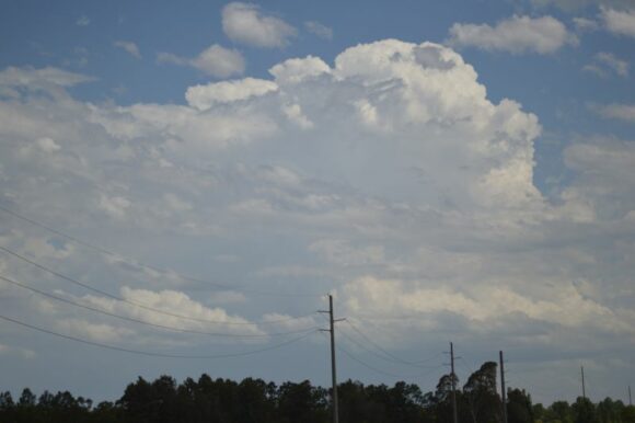
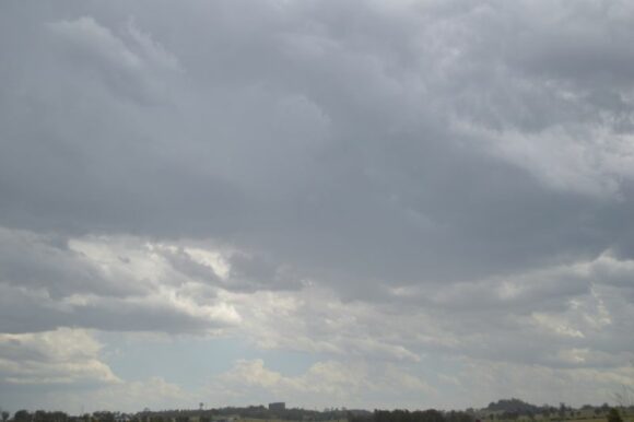
As it turned out, we remained in Sydney and chased locally. We did consider going north to the Central Coast but a traffic snarl on the F3 was identified and thus we abandoned that idea. It would have been impossible to intercept the storms further north around Wyong.
We went south to Camden to observe a storm moving away to the southeast off the coast, then went back north towards Penrith to intercept the storm that was developing just to the south of Penrith. The cell developed and intensified to the east of Penrith. The only way to keep up with it was to travel east along the M4 Motorway then take the M7 north and east, the M2 east towards the city, then the Eastern Distributor.
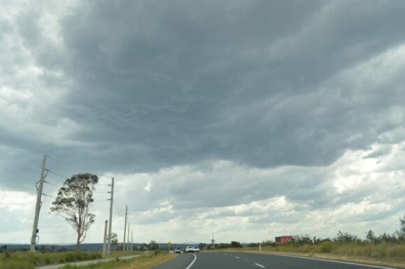
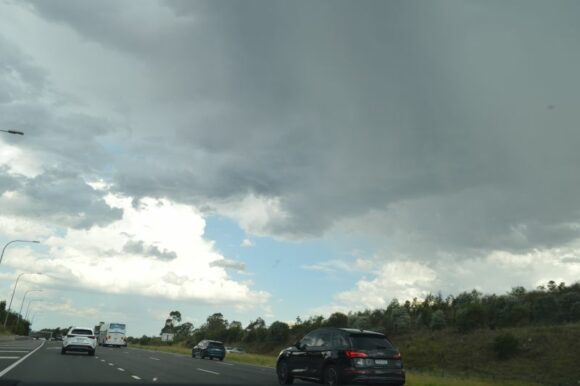
The storm cell was moving so fast that it was difficult to keep up with it. We were able to take photos of the storm from the car and managed to clip the western flank of the storm with a brief burst of heavy rain but by that time, the storm was already crossing the coast.
There was evidence of a downburst or microburst and a tree was observed down on the freeway which had cut the northbound lanes. Based on media reports, the brief storm downed other trees across the locality.
Following this, the chase was generally over. We returned back to Penrith via the M5, M7 and M4 Motorway.
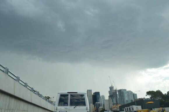
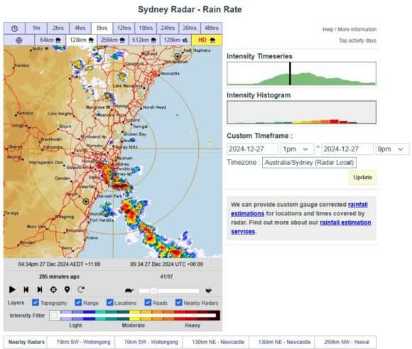
This was a difficult chase during peak hour. It was fortunate that traffic was lighter than normal due to the Christmas and New Year holidays. It also shows that the event itself was also brief in nature.
Other than a smaller weaker cell developing, no further thunderstorm activity occurred. The south easterly wind change ended the event for the day.
The images attached are some of the best available with many taken along the various motorways without stopping.
