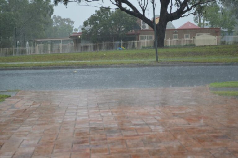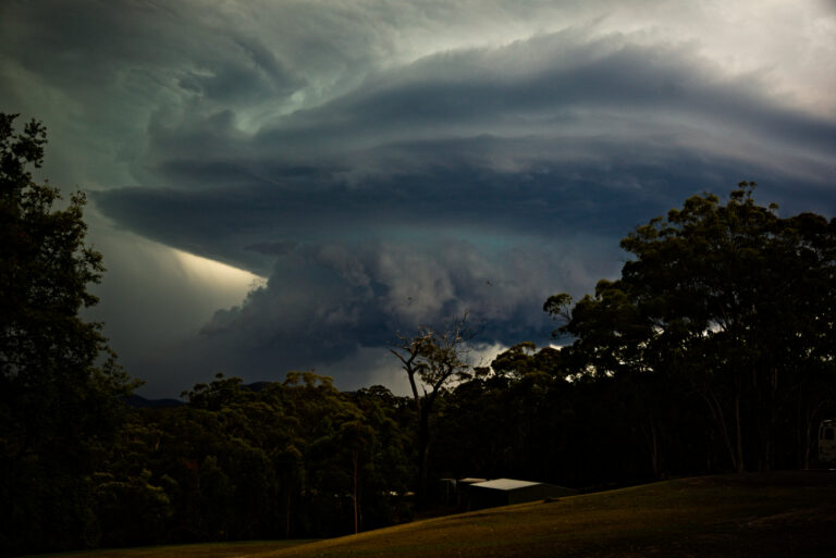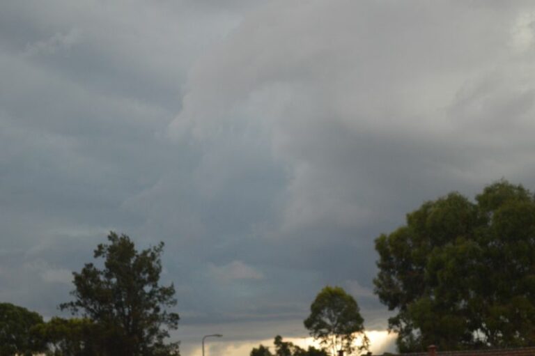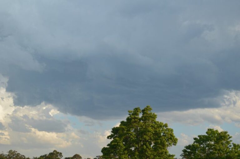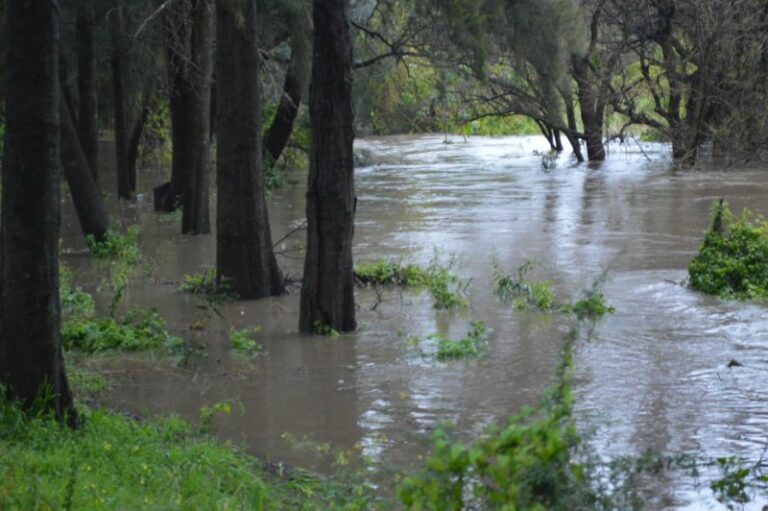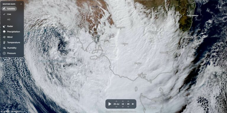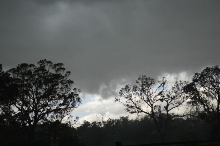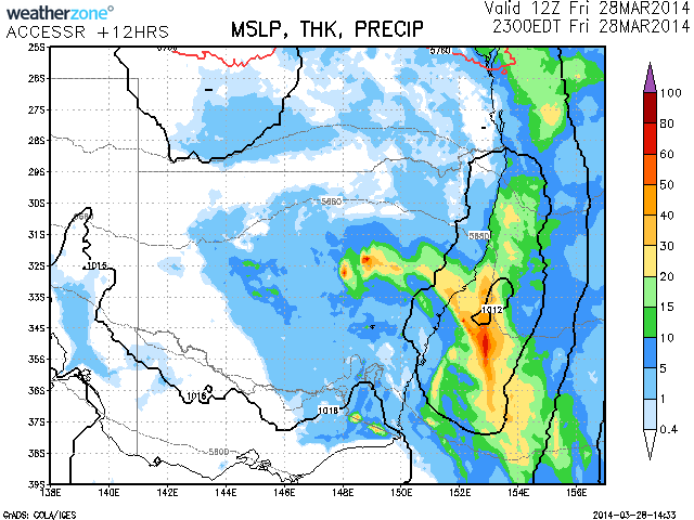
A cold pool is expected drift over the Newcastle to Central Coast region this evening resulting in further rainfall across the region. Falls of up to 50mm are expected from the development according to the latest model. The cold pool which has assisted in producing some heavy falls of rain across many parts of NSW and also Queensland will eject into the Tasman about midnight with rain easing and clearing off the coast. Localised flooding could not be ruled out given the saturated falls from several days of rainfall earlier this week

Floods
Floods · Rain
Rain Event 28th March 2014
More storms near Newcastle, NSW
A Week of Rain – Eastern New South Wales and Queensland – May 24 to 29
31 May 2026 · Eastern NSW
Heavy Showers Cause Localised Flooding Across The Sydney Region – 18 and 19 March 2026
20 Mar 2026 · Sydney, NSW
Two days of heavy rainfall New South Wales Central Coast to the South Coast – 17 and 18 January 2026
18 Jan 2026 · Central Coast, NSW
Spectacular Storm Colo Heights 13th December 2025
14 Dec 2025 · Colo Heights, NSW
Summer Heat and 40C Maximum Temperatures Southeast Australia – 5 and 6 December 2025
7 Dec 2025 · South East Australia
Storm Outbreaks, Cold, Damaging Winds and Intense rain events Eastern Australia – 26 October to 1 November 2025
1 Nov 2025 · Eastern Australia
Hot day ends with afternoon storms and Storm Chase – Eastern New South Wales – Friday 17 October 2025
18 Oct 2025 · Colo Heights, NSW
A warm to hot October week for New South Wales – October 5 to 12 2025
11 Oct 2025 · New South Wales
Coastal New South Wales and Sydney drenched by Rain – August 2025
23 Aug 2025 · Sydney, NSW
Cold and rain Eastern New South Wales – 29 July to 3 August 2025
2 Aug 2025 · Eastern NSW
Significant cloud mass passes over Southern and Eastern Australia but produces limited rainfall – Saturday 26 July 2025
26 Jul 2025 · Eastern Australia
Putty Road Supercell Storm Chase July 6th 2025
12 Jul 2025 · Putty, NSW
All storm reports from Newcastle, NSW →
Also on 28 March
Tropical Cyclone Narelle Makes Landfall 3 Times and Concludes its Journey – Northern Australia – March 28 2026
28 Mar 2026 · Exmouth coast (final landfall), WA
Severe Storms NSW March 28 2010
28 Mar 2010 · Bowral, NSW
Tropical Low NT: from 29 Mar 2009
28 Mar 2009 · Darwin, NT
NSW and SE QLD Rain Event / Flash Flooding Coffs Harbour and Sunshine Coast :28 Mar – 7 Apr 2009
28 Mar 2009 · Coffs Harbour, NSW
Thunderstorms return – Numbucca Heads scores direct hit from hailstorm
28 Mar 2008 · Nambucca Heads, NSW
Cooler change Sunday
28 Mar 2007 · Torrington, NSW
2 comments
Add a comment
You must be logged in to post a comment.

The rain event has surprisingly delivered the rainfalls as expected mainly within the Hunter Valley and Newcastle areas.
The highest falls are 37 mm at Kulnura and 35 mm at Merriwa (Hunter Valley) and 35 mm at Nobbys Head (Newcastle). A large swathe of the Hunter Valley received 10 to 24 mm including 20 mm to 35 mm across Newcastle City and 26 mm at Maitland.
Similar totals occurred across the Central Coast.
For Sydney – A line north of the Harbour including Blacktown towards Penrith received 10 to 18 mm including 13 mm at Hornsby and Kings Langley but south of this line, rainfalls taper away with Nil to 6 mm common. There was little rain further south.
Some decent falls!