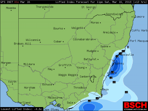
 The GFS model has some instability increasing offshore tonight. This means there is a risk of storms developing particular near the coast but mainly offshore.
Today and particularly this afternoon has seen some sultry conditions across eastern NSW with high dew points for mid March. An upper trough is expected to over ride the region this evening and tonight. Depending on the wind change, this could be the focus for the development of showers and thunderstorms.
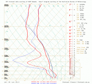
Here is the forecast sounding for this evening right on Sydney! Instability increases during the evening with upper level cooling as the upper trough takes effect.

See : 128km Radar Loop for Sydney (Terrey Hills), 09:00 16/03/2013 to 12:00 16/03/2013 UTC
Cooler weather this morning as a result of the cold air aloft in the wake of the upper trough. Any evidence of below average temperatures?