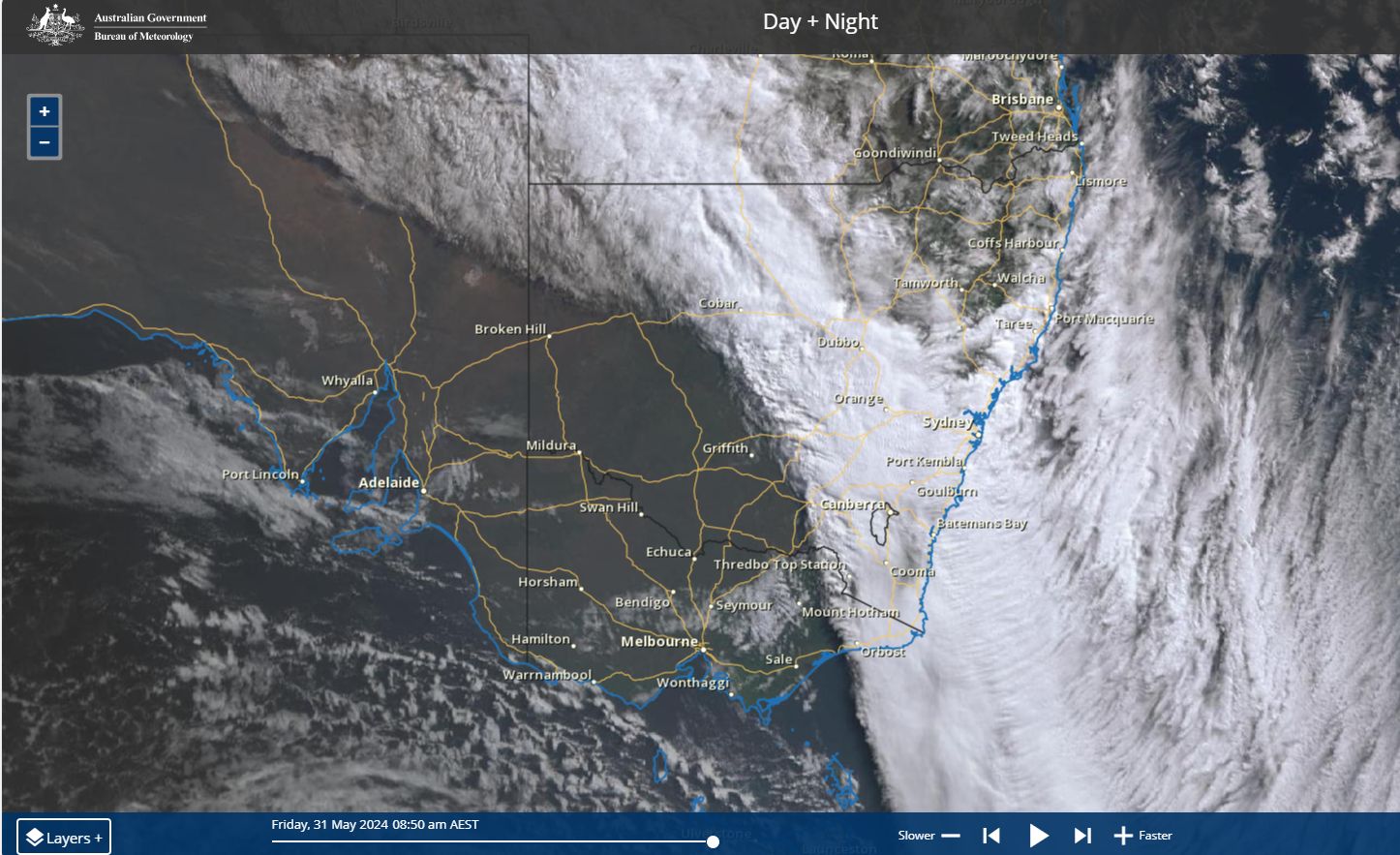
During Thursday 31 May 2024, a fast moving northwest cloud mass crossed over Southern Australia providing crucial relief to a worsening dry spell for some areas.
Since the beginning of 2024, the southern region of New South Wales, close to the Victorian state border as well as much of northern Victoria also close to the Murray River had missed out on the good rainfall that other regions have enjoyed.
To such an extent, there had been barely any rainfall at Albury for the past 55 days except for 0.4 mm recorded on May 10. To this extent, this region and others further west has had a very dry start to the year and the prospect of drought appears to be looming.
The cloud mass while fast moving has provided relief and has broken the dry spell enveloping much of the Murray River region of both states (New South Wales and Victoria). While the prospect of back up rainfall is unlikely within the immediate future, this event has been beneficial for the region. The highest rainfall totals are:
For Victoria
- Mt Hotham - 116 mm.
- Strathbogie North - 109 mm.
- Violet Town - 104 mm.
Any area within the ranges of northeast Victoria received between 50 to 99 mm including 99 mm at Chesthunt.
Away from the ranges, falls of 25 to 40 mm were common across other areas of the north east.
For New South Wales
- Thredbo - 86 mm.
- Perisha - 62 mm.
- Portable RE SN SW52 - 44 mm.
- Deniliquin - 43 mm.
- Albury Airport - 31.6 mm.

Wind gusts
A feature of this event were the peak wind gusts recorded at Australians highest elevated weather station being Thredbo Top Station at 1,957 metres above sea level. The weather station recorded a single wind gust of 146 km/h at 7.47 pm with constant wind gusts exceeding 100 km/h for several hours during Thursday evening.
In addition, peak wind gusts also topped 124 km/h at Falls Creek (Victoria) Thursday evening.
Fortunately, such wind gusts were limited to the highest elevations of New South Wales and Victoria.
The system has passed over Sydney during Friday delivering a cloudy day with little if any rainfall.
Weather models were not clear as to what would be occurring Saturday or Sunday along coastal New South Wales in terms of rainfall as variations were identified.
What has become clear is that:
- Overnight Friday, extensive rainfall with falls of 50 to 80 mm occurred within a narrow band from the Hunter Valley northwest towards Gunnedah. As such, places like Tamworth and Gunnedah received falls of 60 to near 80 mm.
- While weather models showed extensive rainfall north of Sydney for Saturday (Mainly the Hunter Valley and Central Coast) it is noted that late Saturday morning, extensive rainfall developed across most of Sydney which continues at the time of writing.
- Medial reports have suggested high rainfall for the New South Wales South Coast but one model reviewed suggested only light to moderate falls.

As such, the next 2 days are interesting in terms of rainfall for coastal New South Wales but the position of the heavier falls will be determined by the location of any east coast low should it form.