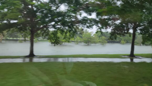
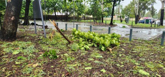
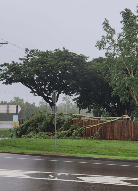
A special thank you to Zaydah and her husband who have kindly driven around parts of Townville City Sunday afternoon when and where it was safe to take the attached photos and provide permission for the photos to be used. This was a difficult undertaking given the road closures and level of flooding experienced.
The attached images and feature image (All credited to Zaydah) are clear to what has occurred from the flood event.
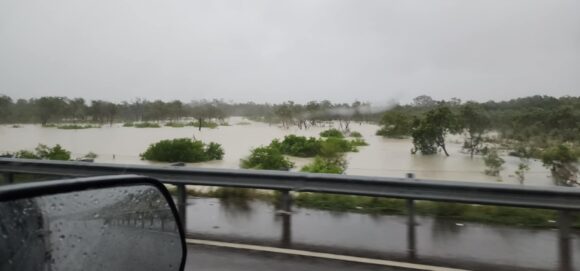
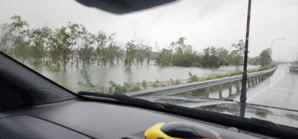
While the rainfall intensities appear to have eased off for now, more is expected. Some of the crucial elements for today’s events include:
1. There is credible evidence that strong to gale force winds from the system approached 100 km/km at least at a few locations. There are limitations on the strength of winds across the wider region given the limited number of weather stations available that are recording peak wind gusts. The Townsville weather station at the airport recorded a peak wind gust of 89 km/h at 7.44 am Sunday morning. There are other peak wind gusts to 82 km/h at 3 am Sunday morning.
2. A peak wind gust to 91 km/h was recorded at Alva Beach at 9.30 am Sunday. In addition, several peak wind gusts of 80 to 90 km/h also occurred at this location.
3. The Herbert River at Trebonne reached a maximum height of 15.85 metres (Station Number 532067), 16.55 metres at Abergowrie Bridge (Station 532028), 14.89 metres at Ingham Pump Station (Station Number 032171), 12.54 metres at Gairloch (Auto) (Station Number 532027) and 14,89 metres at Ingham Pump Station (Station Number 532012). The flood peak has come close to breaking the 1967 event although it is not clear if this has occurred at the time of writing.
4. The heaviest rainfall to the 24 hours to 9 am Monday include:
- Cardwell Gap Alert - 655 mm.
- Cardwell Range - 626 mm.
- Paluma Alert - 560 mm.
- Pace Road at Rollingstone - 526 mm.
- Halifax Alert - 475 mm.
- Ingham - 456 mm.
- Saunders Creek Alert (Townsville City) - 239 mm.
- Townsville (City Airport - 165 mm) - The 3 day total since 9 am Friday morning for the airport stands at 709.6 mm. It soon becomes clear how much has fallen across the city.
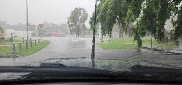
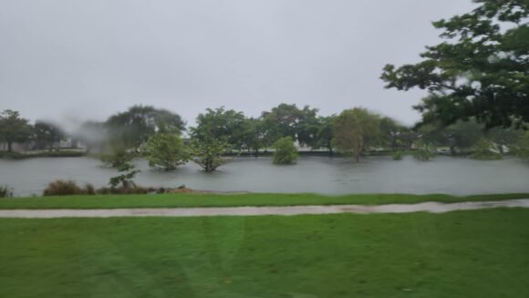
5. A major bridge on the Bruce Hwy has been washed away cutting a major highway artery to the north of the city and significant flooding has occurred around Ingham and all low lying areas.
Rainfall totals have tapered off over recent hours but more is likely and is already occurring across some areas of the affected region.
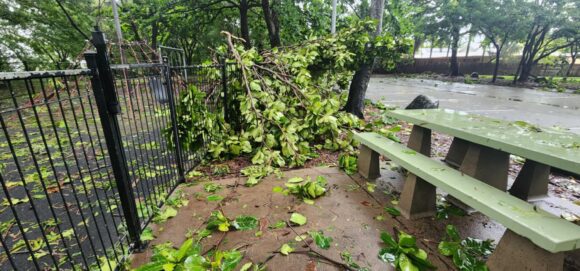
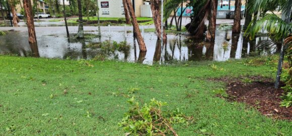
The photos provided are showing major flooding, local suburban flooding and even damage to trees where trees have been blown over by strong to gale force winds. Travel beyond the city at this time is difficult and somewhat dangerous. The photos supplied are most appreciated and highlight the ongoing event across a small area of the affected region.
