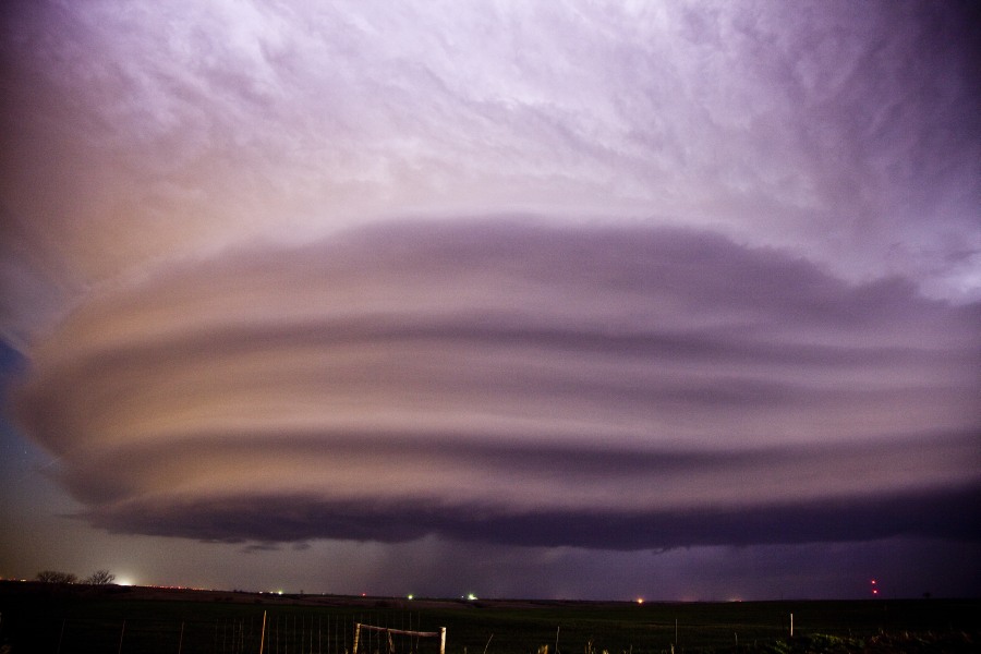
This video is a compilation of the supercell that developed in NW Oklahoma. It remains stationary for some time and perhaps attempts to produce a couple of wall clouds but eventually becomes linear. The southern component then intensifies, moves south east. The intensification of this section took us on journey to some of the best structure we have ever observed! The storm separates and reveals a beaver tail with vault overhanging threatening to dump base ball sized hail. We were then treated to a spectacular lightning display as we zigzagged out of the anvil rain drops. Overall 5 to 6 hours of intense repositioning is what is shown in this video. The structure still leaves me speechless for what was meant to be a marginal day!

One thought on “Incredible Supercell Structure Video Oklahoma”
Leave a Reply
You must be logged in to post a comment.
Finally posted the Oklahoma supercell youtube video from the 22nd April 2013 event on extreme storms.