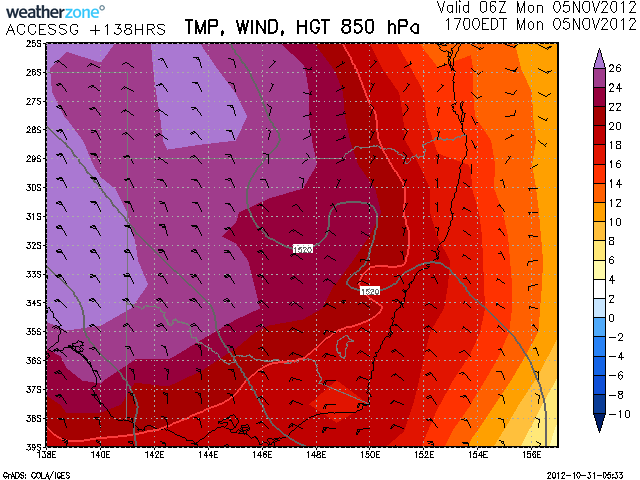
 Seems like summer heat coming through from the inland late this weekend and early next week! Temperatures into the 40C mark may be possible in South Australia and inland NSW and Victoria.The thicknesses in the purple on this 850hPa level map corresponds to this wodespread 40+C temperatures at the surface.
Heat Wave
Heat Wave
Heat Wave 4th and 5th November 2012
More storms near Broken Hill, NSW
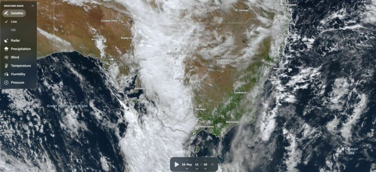
All storm reports from Broken Hill, NSW →
Also on 31 October
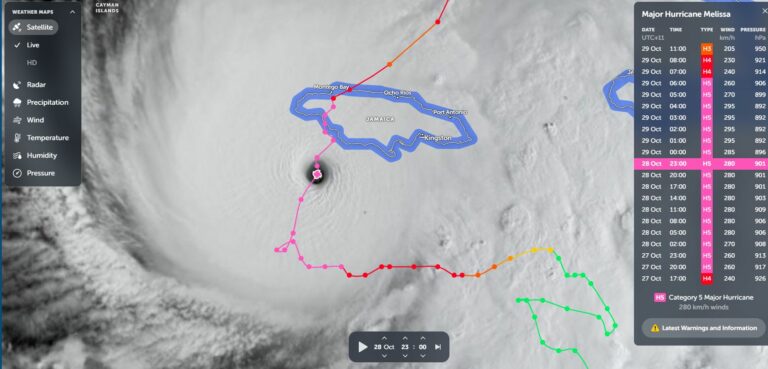 Hurricane Melissa – The Fifth Most Powerful Atlantic Storm Recorded – Jamaica 28 October 2025
31 Oct 2025 · Jamaica, JM
Hurricane Melissa – The Fifth Most Powerful Atlantic Storm Recorded – Jamaica 28 October 2025
31 Oct 2025 · Jamaica, JM
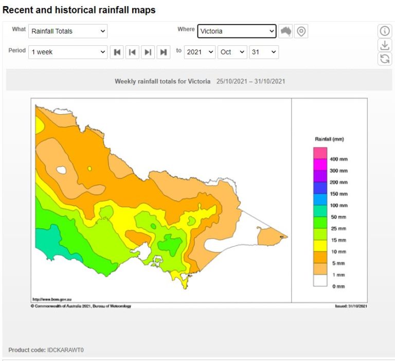 Storms SE South Australia and Southern Victoria 28 – 29 October 2021
31 Oct 2021 · Adelaide / Barossa, SA
Storms SE South Australia and Southern Victoria 28 – 29 October 2021
31 Oct 2021 · Adelaide / Barossa, SA
 Frustrating day today in the Northern Rivers. Met up with Michael Keene and Mich…
31 Oct 2020 · Northern Rivers, NSW
Frustrating day today in the Northern Rivers. Met up with Michael Keene and Mich…
31 Oct 2020 · Northern Rivers, NSW
 From my friend Mario in Arcliffe just now
31 Oct 2020 · Arncliffe, NSW
From my friend Mario in Arcliffe just now
31 Oct 2020 · Arncliffe, NSW
 From Jimmy Deguara..Queensland…Killer shot
31 Oct 2020
You beauty Michael Keene is getting done beauty bolts and got done at sunset. We…
31 Oct 2020 · Warialda, NSW
From Jimmy Deguara..Queensland…Killer shot
31 Oct 2020
You beauty Michael Keene is getting done beauty bolts and got done at sunset. We…
31 Oct 2020 · Warialda, NSW
 A stormy October 2020
31 Oct 2020 · Western Sydney, NSW
A stormy October 2020
31 Oct 2020 · Western Sydney, NSW
 I repositioned from just west of Lismore and intercepted the most severe storm w…
31 Oct 2020 · Byron Bay, NSW
We have just finished chasing. Noon near Guyra through to Bundara to Uralla to t…
31 Oct 2020 · Uralla, NSW
I repositioned from just west of Lismore and intercepted the most severe storm w…
31 Oct 2020 · Byron Bay, NSW
We have just finished chasing. Noon near Guyra through to Bundara to Uralla to t…
31 Oct 2020 · Uralla, NSW
 A sample of the photographs from this very long 10 hour storm chase! We went fro…
31 Oct 2020 · Uralla, NSW
A sample of the photographs from this very long 10 hour storm chase! We went fro…
31 Oct 2020 · Uralla, NSW
8 comments
Add a comment
You must be logged in to post a comment.
Check out the heat map for next Monday!
Noooo too early!!!! Where is the middle part with storm season before the dry heat ;(
Nooooo!
I hear you guys. we keep saying each year this is the worst start to the storm season. Actually, there may be a rain event following the heat. So perhaps stay tuned, there may be a change in sight.
yeah, better to get this stuff out of the way sooner rather than later
Weatherzone synoptic charts are suggesting a weather event for the Tuesday to Thursday period inland NSW / Victoria which has caught my interest for next week. I have just read in 'The Age" Melbourne that showers and possible storms could be on the cards for Melbourne Cup Day (Afternoon). I had a look at some very early storm cast plots on the GFS for next Tuesday to Thursday early today and it shows early promise. It would be good to see something eventuate as it has been very quiet.
I have attached another 850hPa thickness map this time centred on South Australia! Very hot on Sunday indeed – Adelaide will feel the heat as well!
Its starting to look more like a storm event then a heatwave event and its also looking like the first real multi-day chase scenario inland!