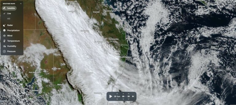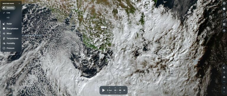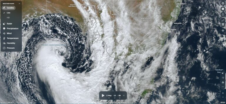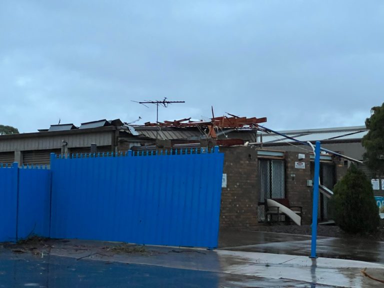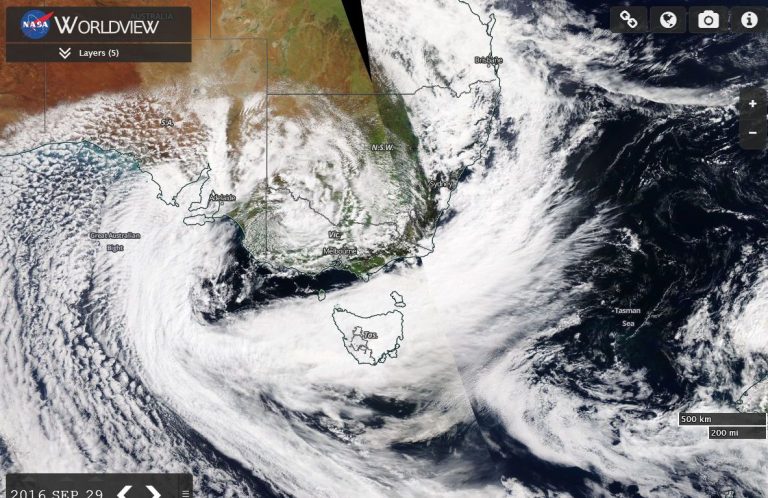
Another significant cloud mass has crossed through southern Australia and once again, another burst of good rainfall has resulted across many areas.
Winter 2026 has featured several of the northwest cloud masses which has delivered solid winter rainfall across large areas of the country. This has occurred despite the emerging El Nino event. The extent of these is such that the likelihood of serious drought emanating from the current El Nino event is somewhat negated, at least for the short term.
Spring for 2026 is forecast to be dry but enough rain has fallen to stave of serious water deficiencies for the short term.
A feature of the latest weather system is that the best rainfall fell across southern South Australia. With that, a line of thunderstorms also crossed over outback South Australia and Northern Territory late Monday and into early Tuesday morning. A lightning tracker detected at least 70,000 lightning flashes from the event Monday to 6 am early Tuesday morning.
This is significant as this shows that a transition into spring is now underway.
The event brought more healthy rains across southern South Australia with the best falls being:
- Mt Lofty – 62 mm.
- Cummins – 35 mm.
- Kingscote – 31.2 mm.
- Adelaide Airport – 26.8 mm.
The rain events have resulted in a very good winter season for this part of South Australia which is rare to see. As such, the rainfall tally for Adelaide Airport for winter 2026 to Saturday 29 September stands at 276.6 mm across the three months. It appears that this is the best winter across Adelaide in terms of rainfall for at least 22 years.
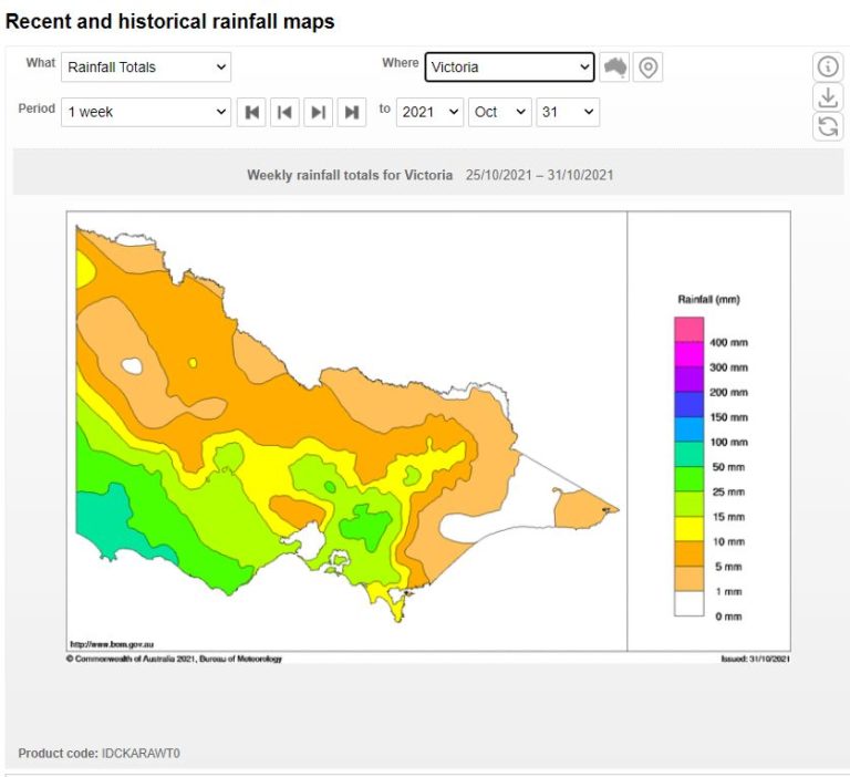
The same system passed through Victoria. While rainfall was not as expansive or heavy as the early August event, some good backup rainfall did occur with some areas of northeast Victoria receiving at least 20 to 50 mm.
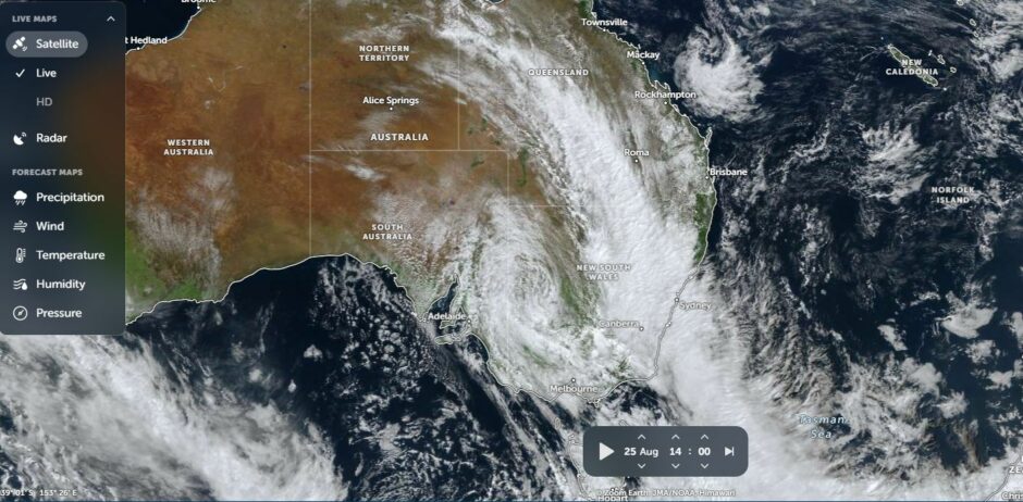
Some standout figures across the two day event include (To 9am Wednesday morning).
- Corryong – 48.4 mm.
- Falls Creek – 45.4 mm.
- Rutherglen – 32.8 mm.
- Dartmouth – 30.8 mm.
The rain band passed over New South Wales on Tuesday and into Wednesday and even delivered 8 to 11 mm of rainfall across the whole of Sydney as it passed over.
The event was not expected to deliver much rainfall across some of the drier regions of northeast New South Wales. However, the event delivered unexpected rainfall totals across some of the drier regions and towns such as:
- Tamworth – 45 mm (This was needed given how dry winter has been across the northwest slopes).
- Armidale – 19.4 mm (The Northern Tablelands has experienced a dry winter).
- Gunnedah – 19.2 mm.
This shows that the latest cloud mass extended its influence further than what was expected for the forecasts.
It would appear that at least for the foreseeable future, this is the last northwest cloud mass that will be seen for a while across southern Australia.