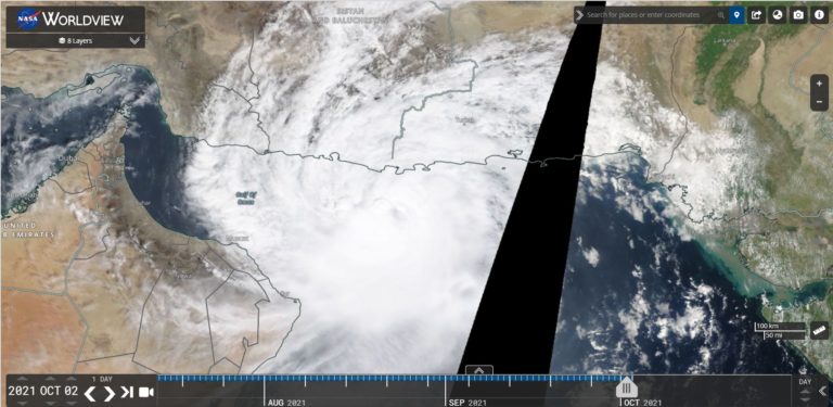
The GFS rainfall plot prepared on Thursday 1 October 2026 identified a significant rainfall event for Friday 2 and Saturday 3 October 2026 across large swathes of Southeast Australia.
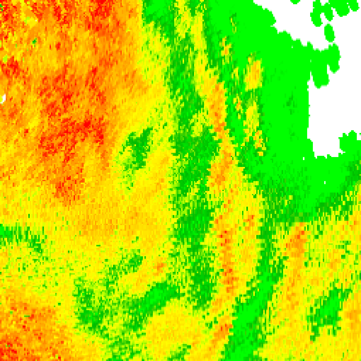
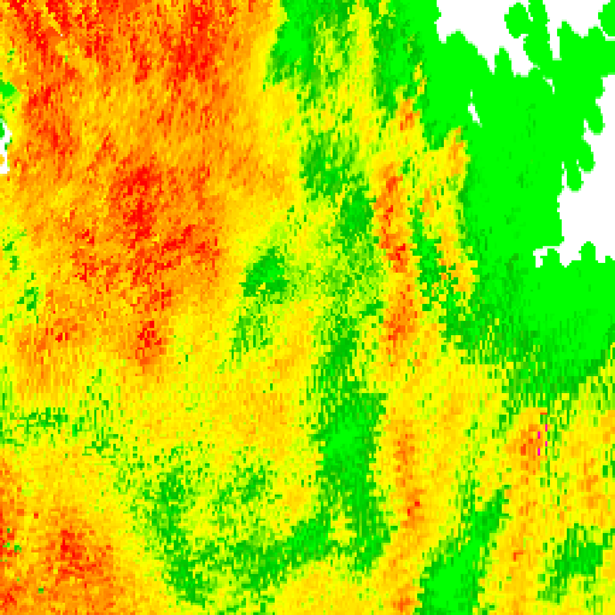
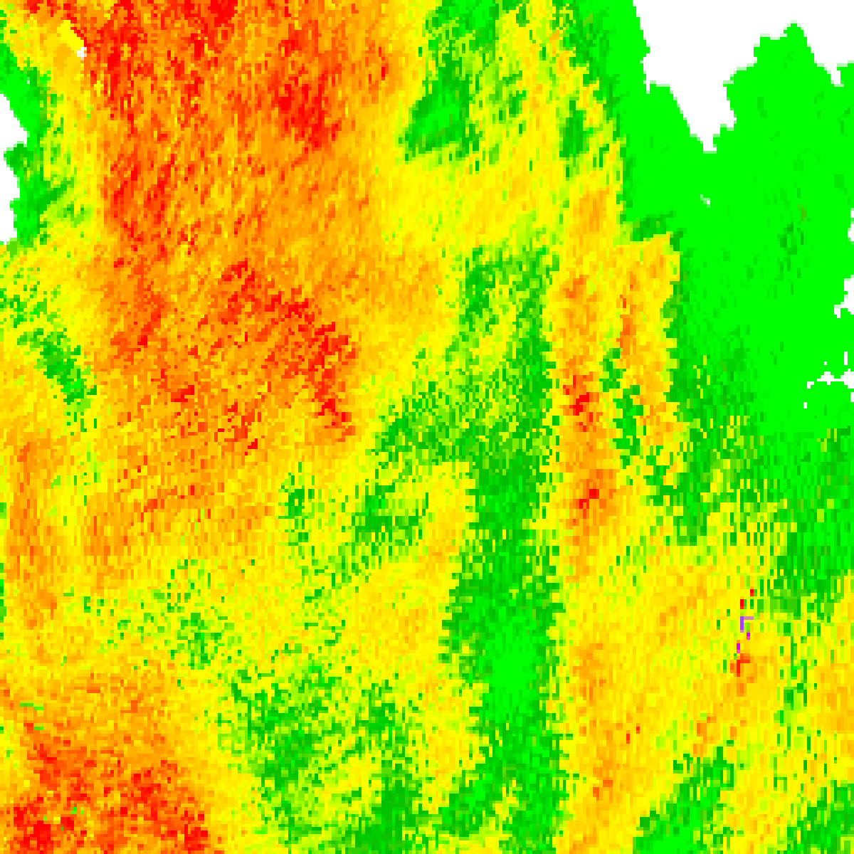
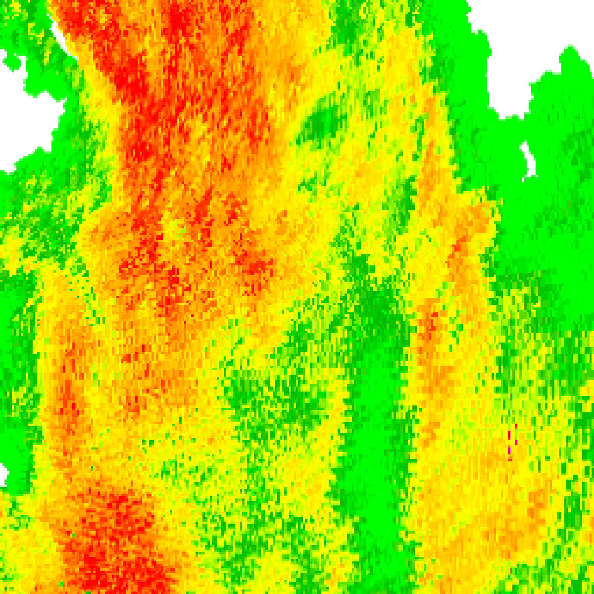
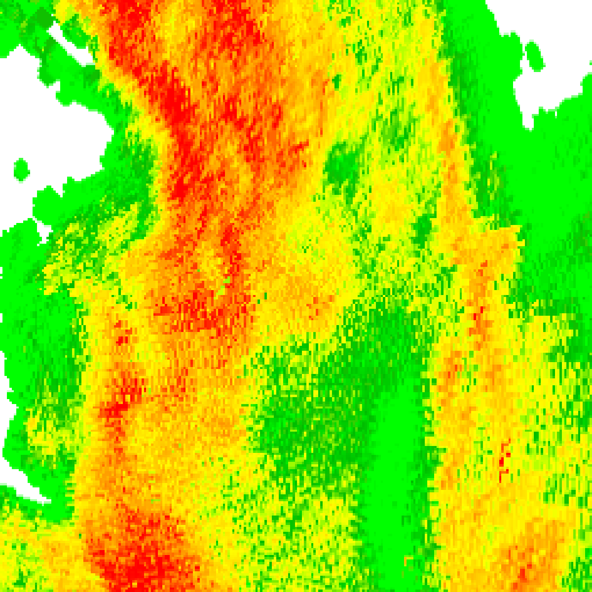
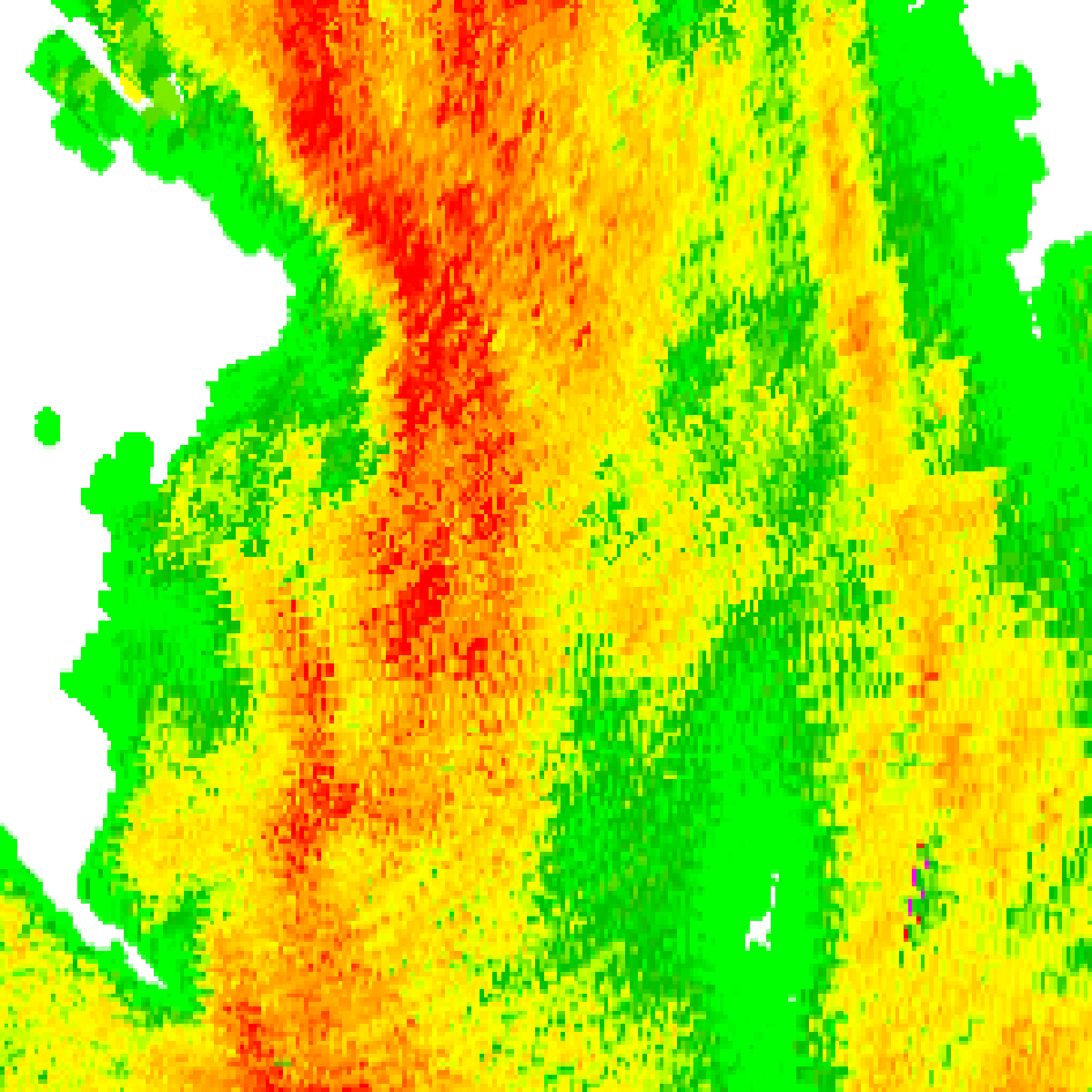
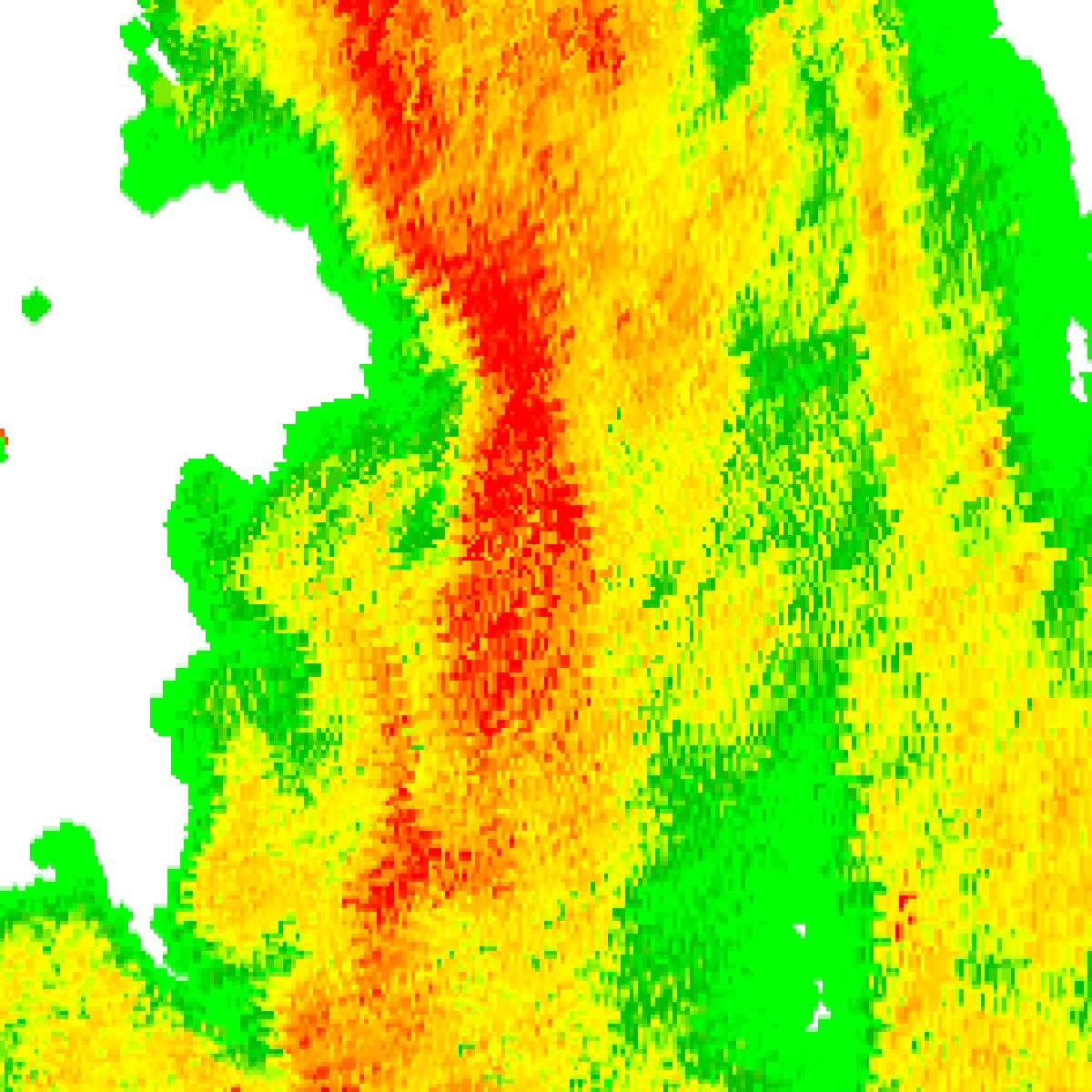
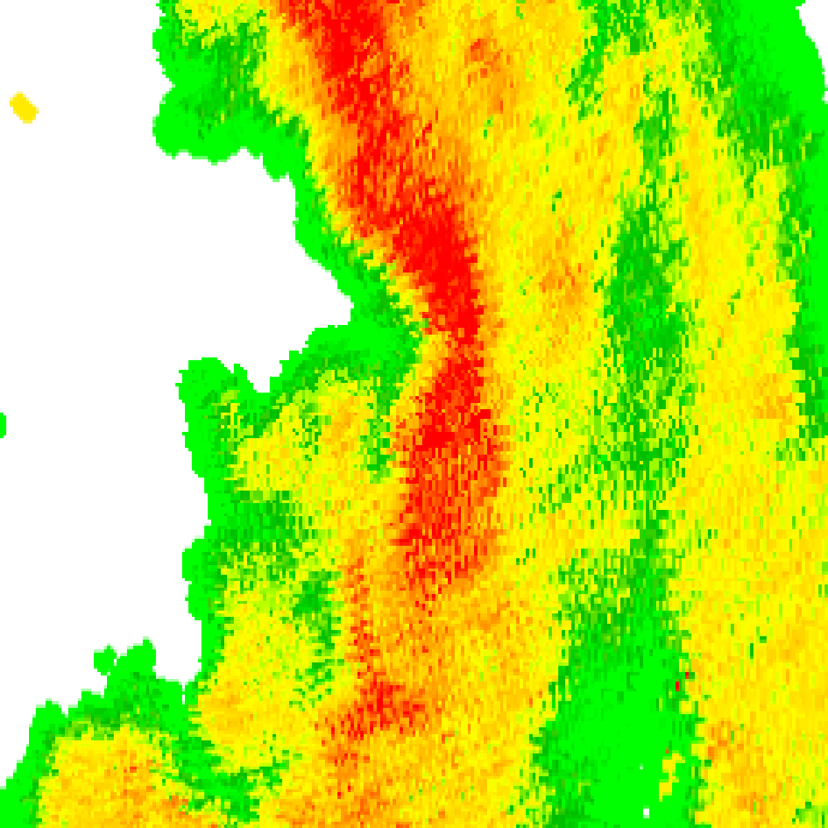
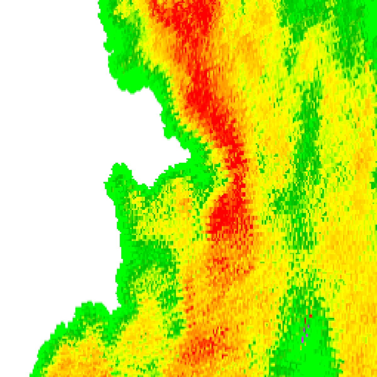
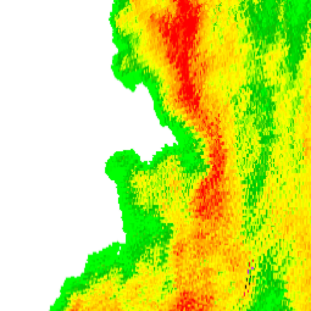
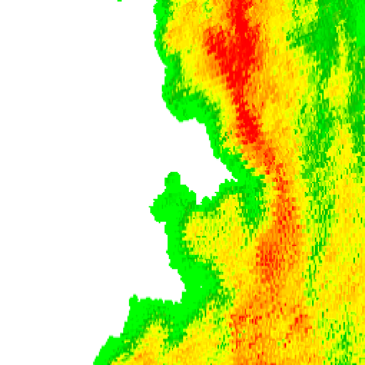
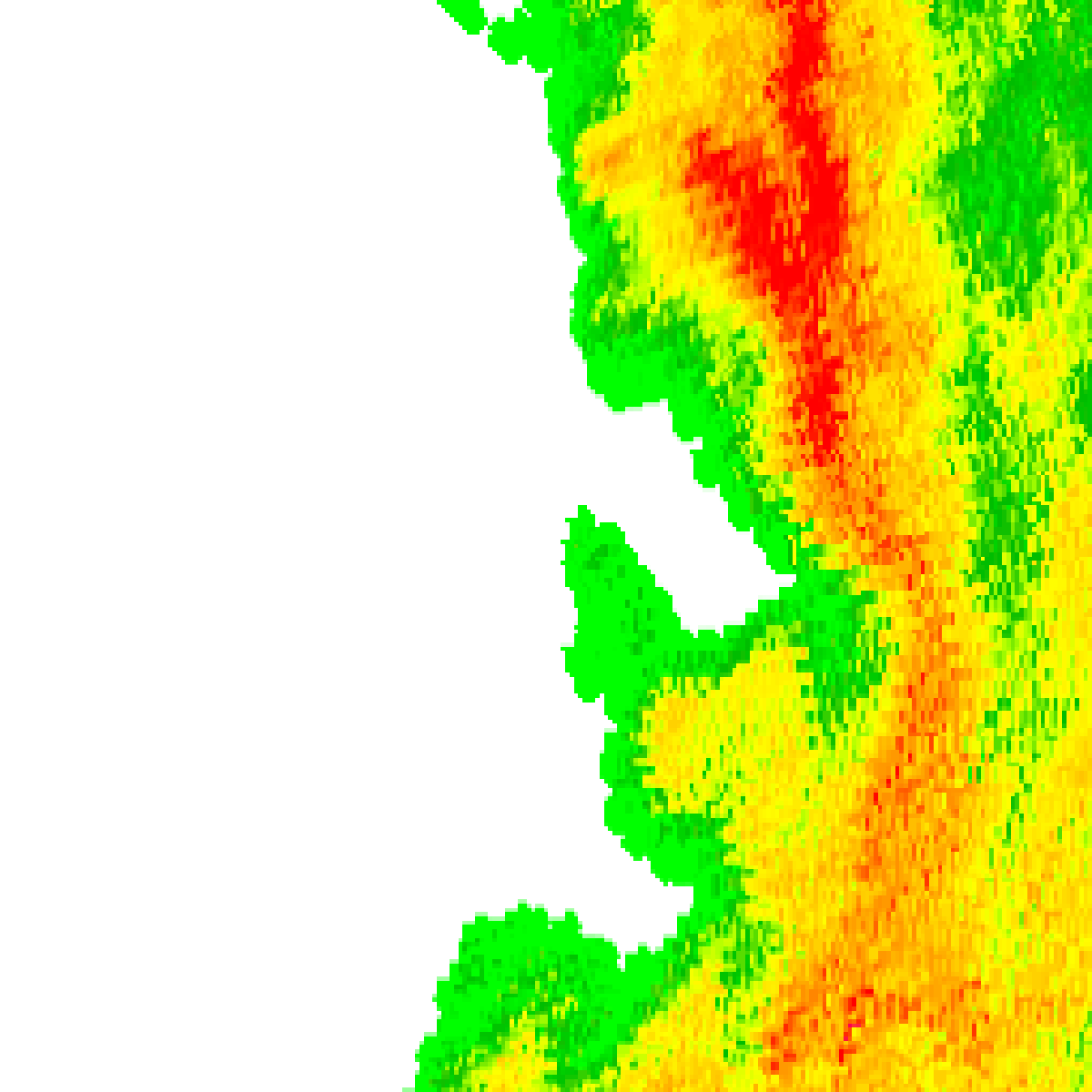
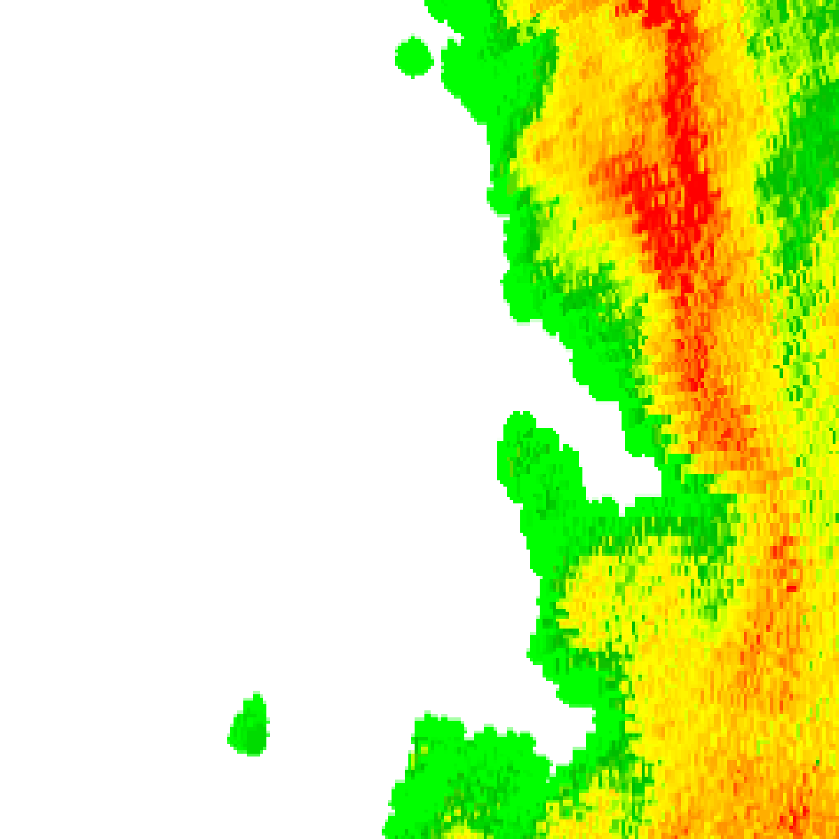
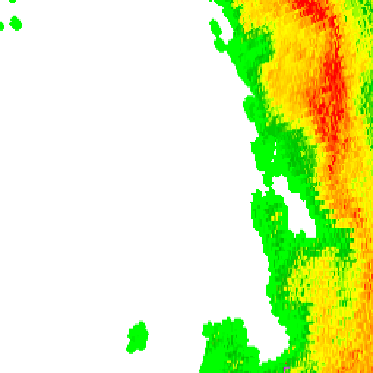
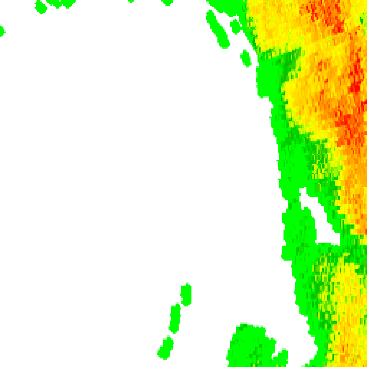
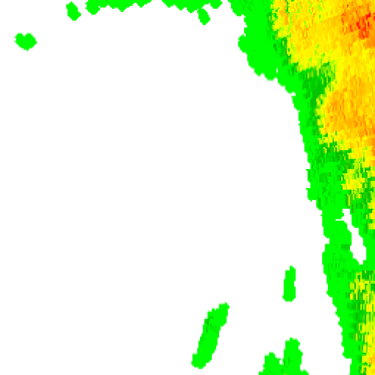
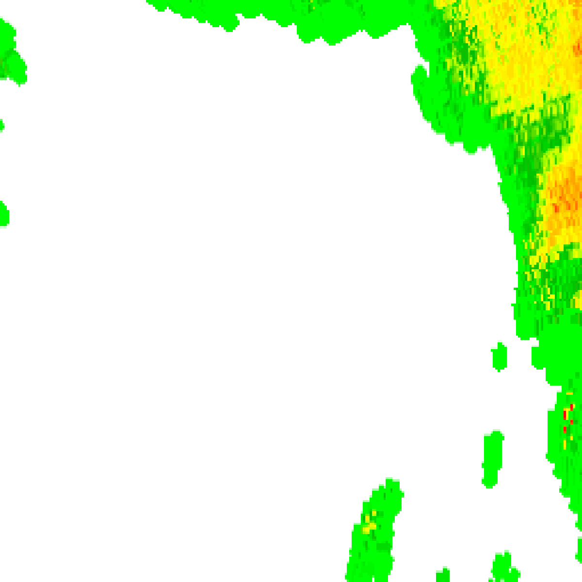
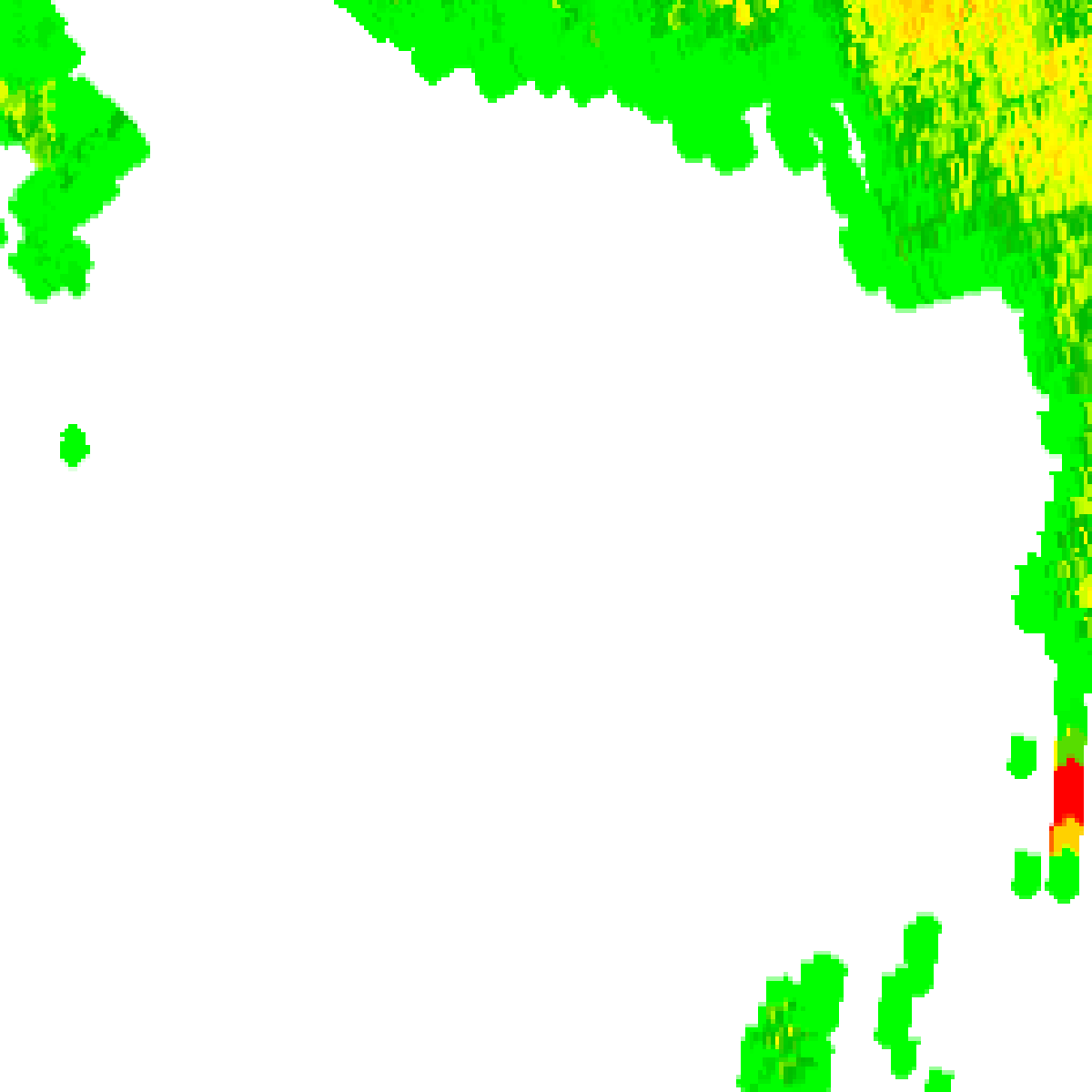
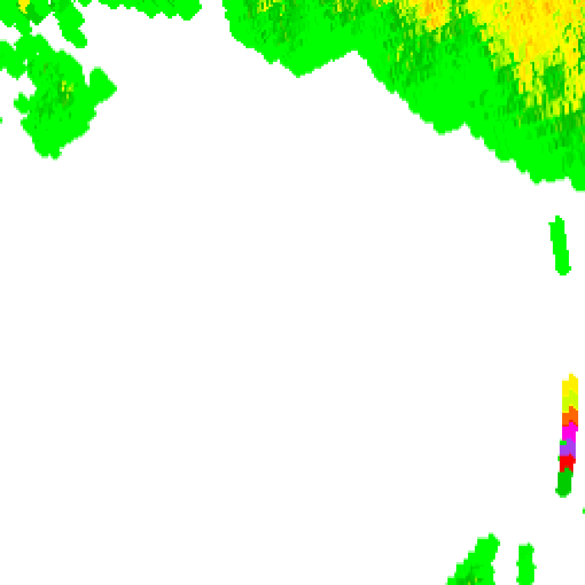
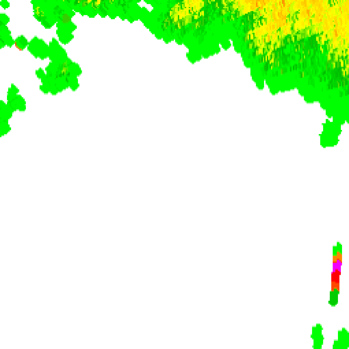
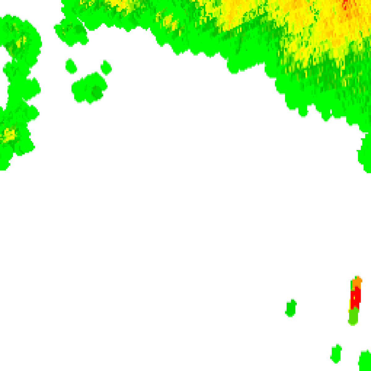
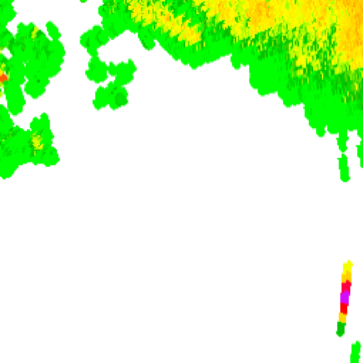
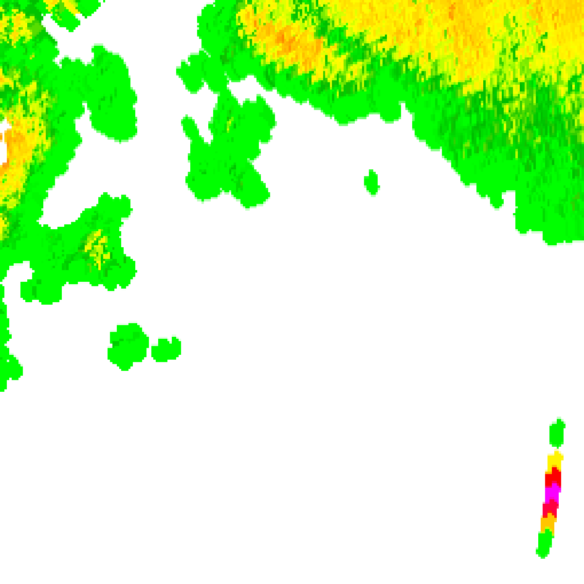
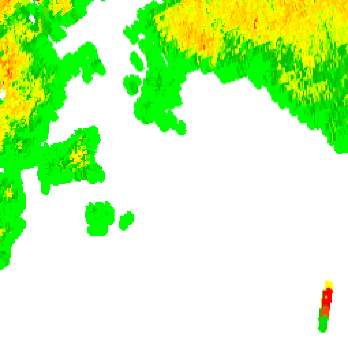
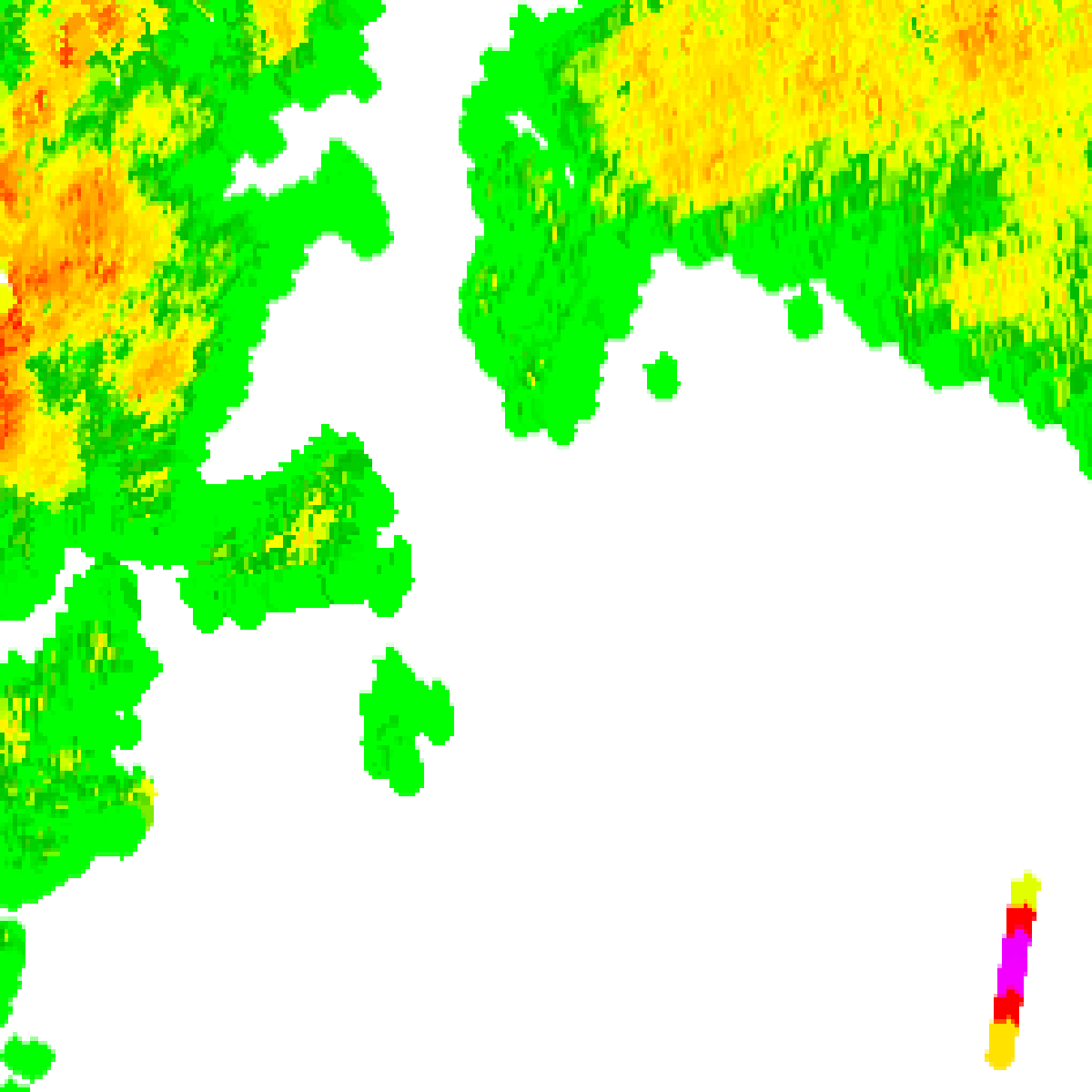
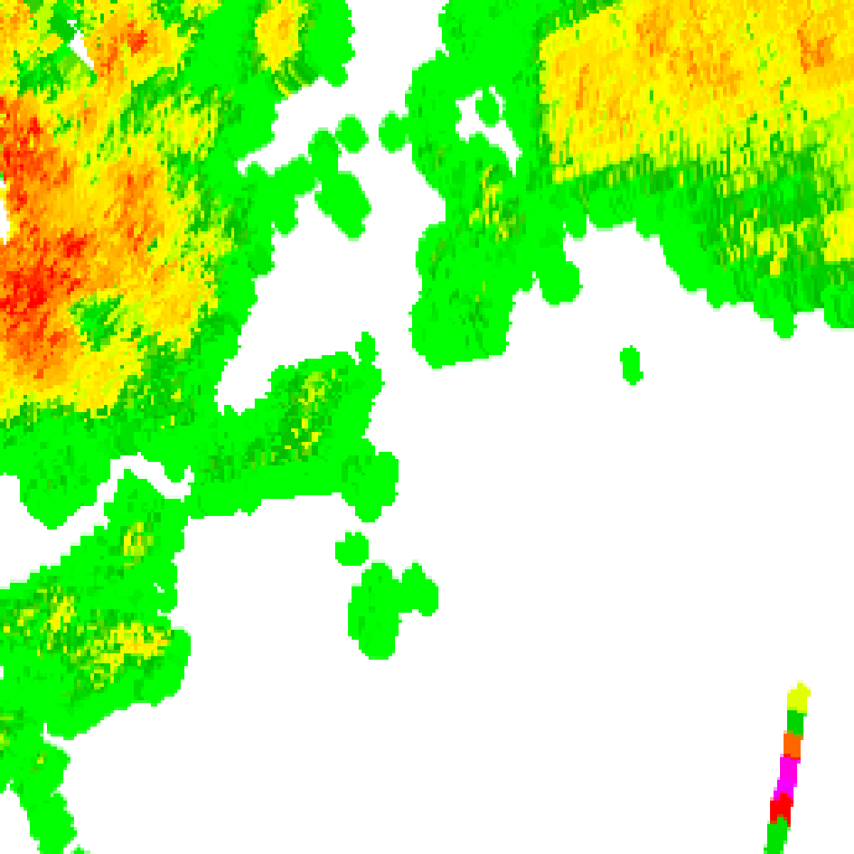
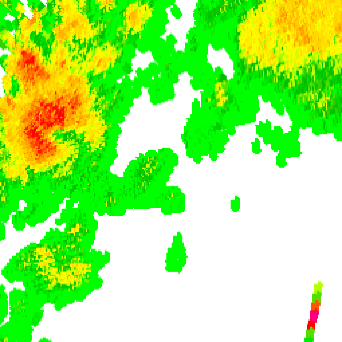
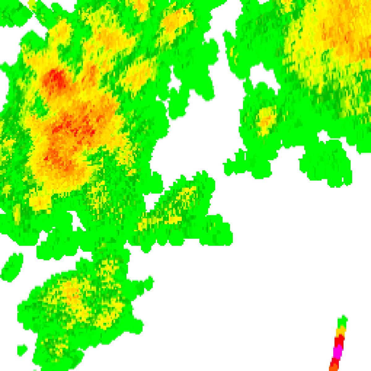
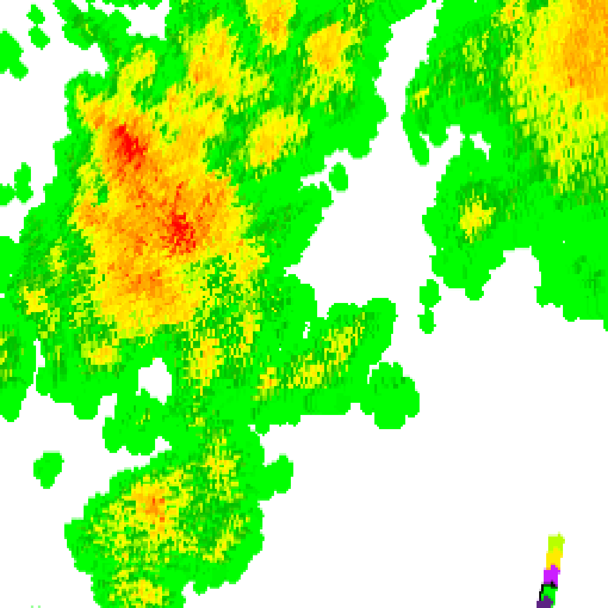
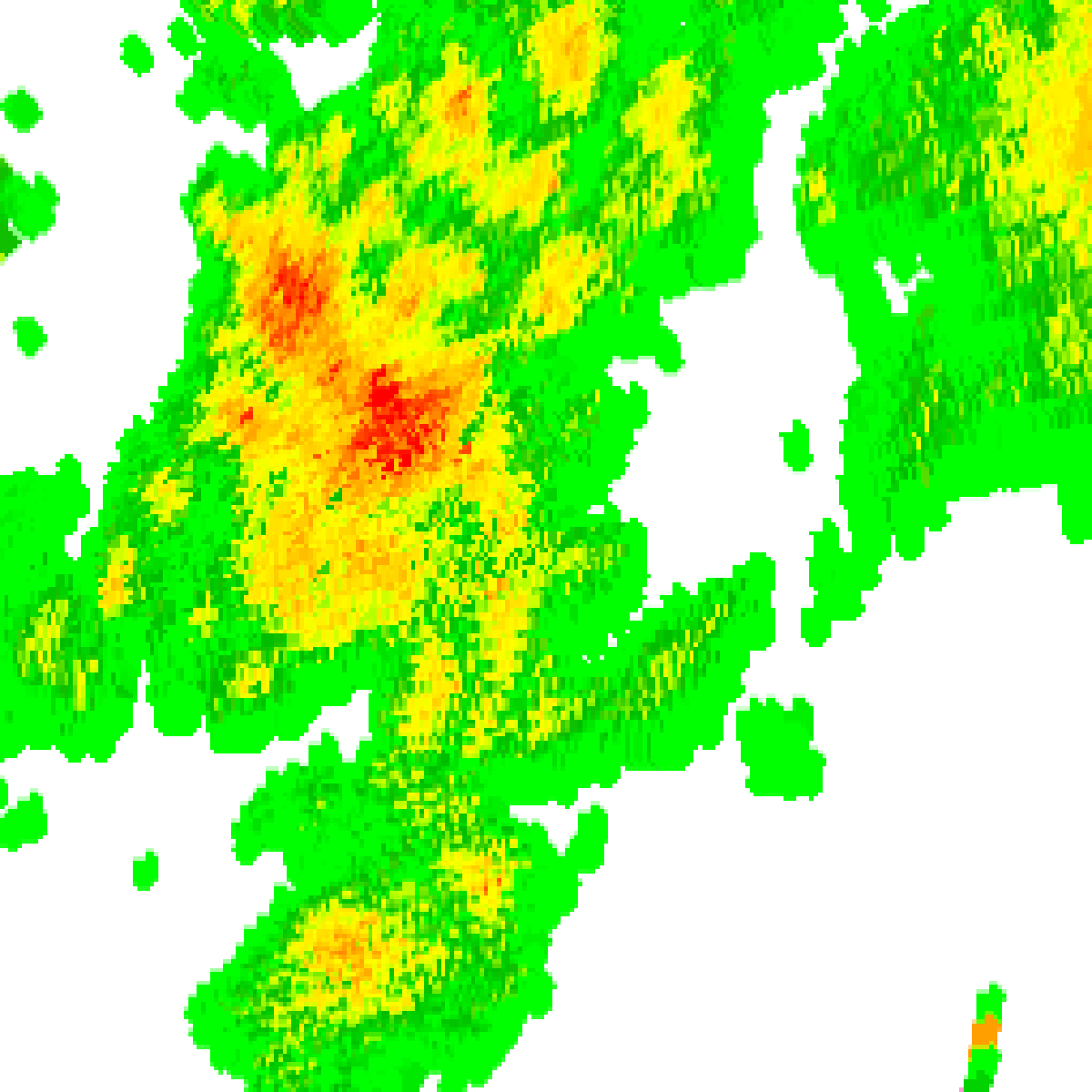
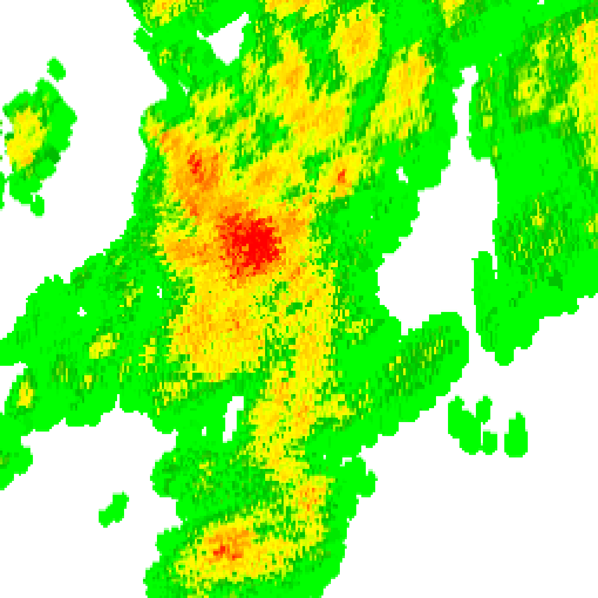
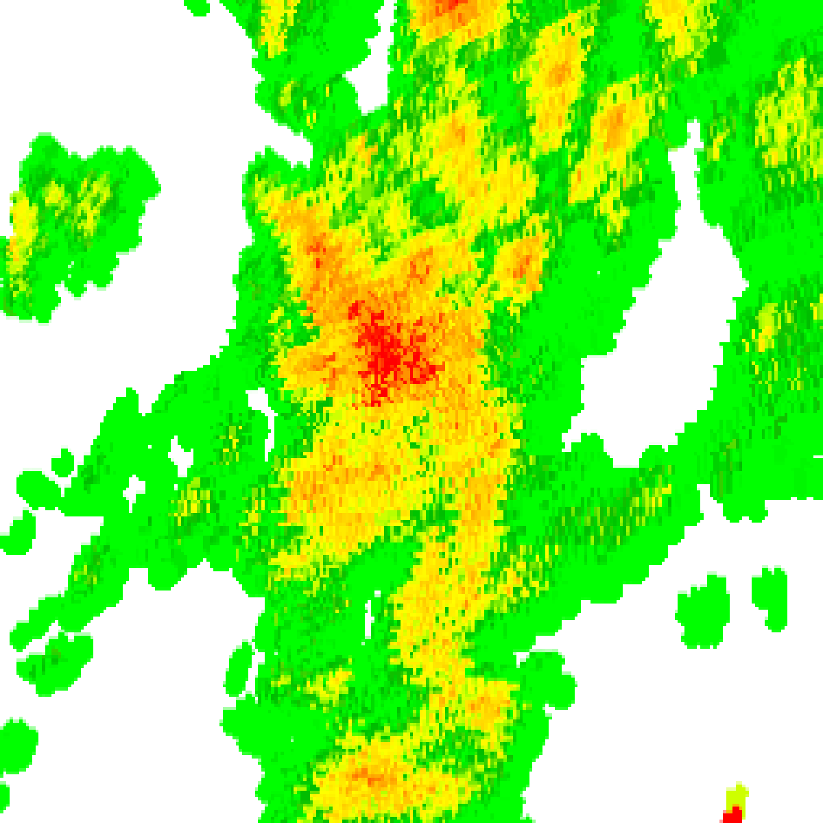
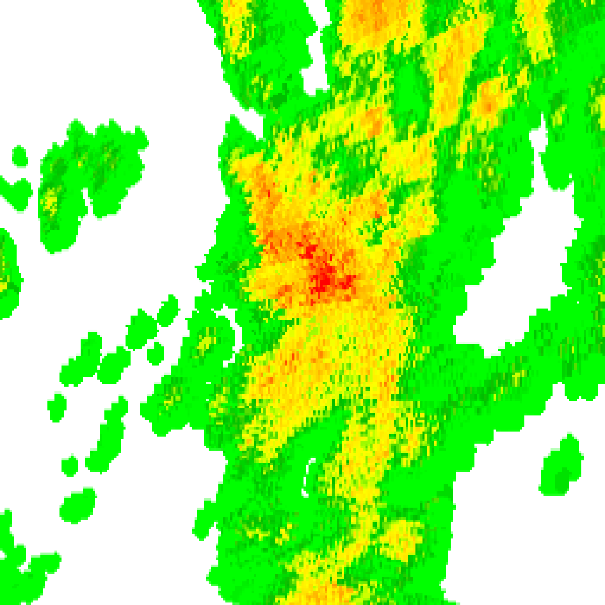
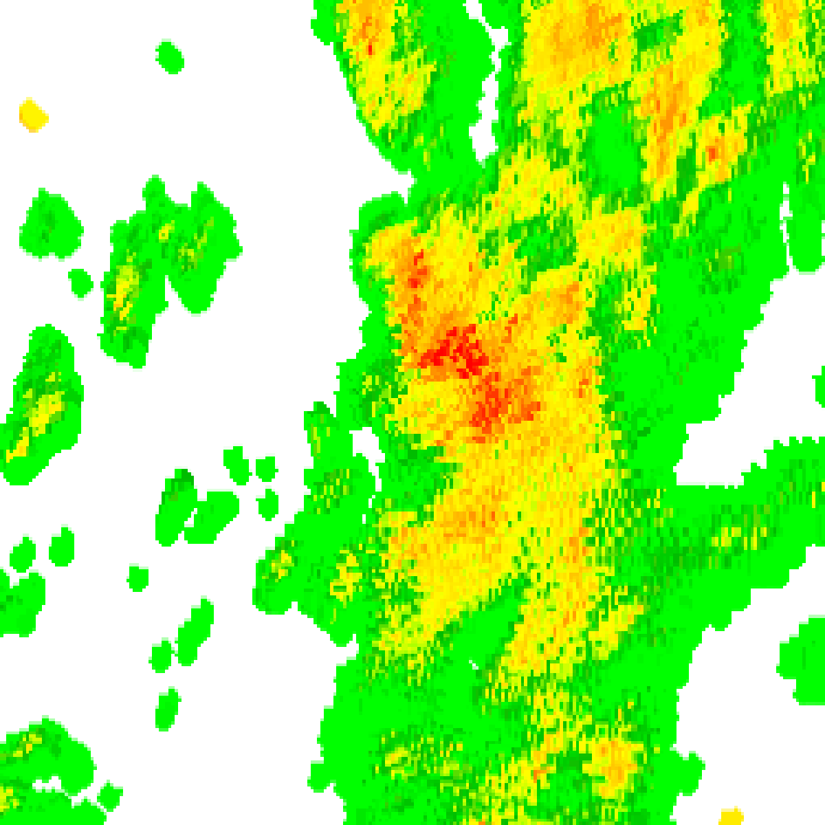
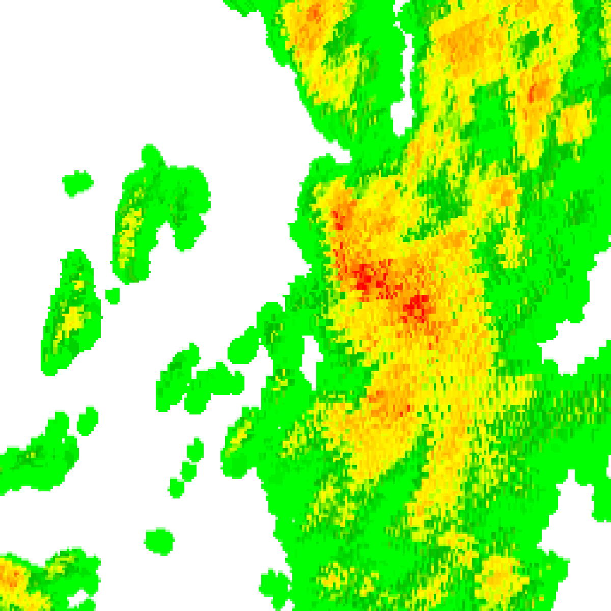
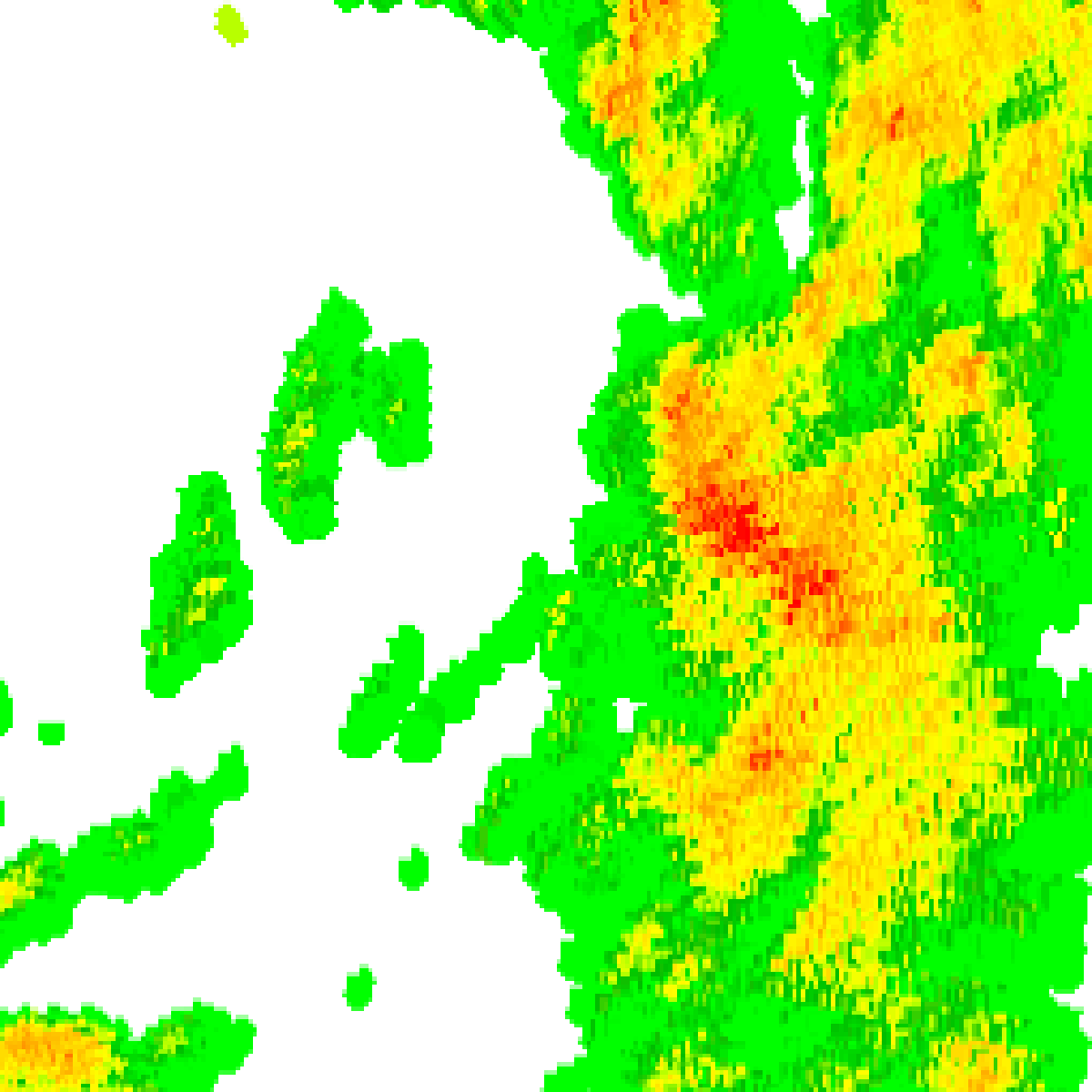
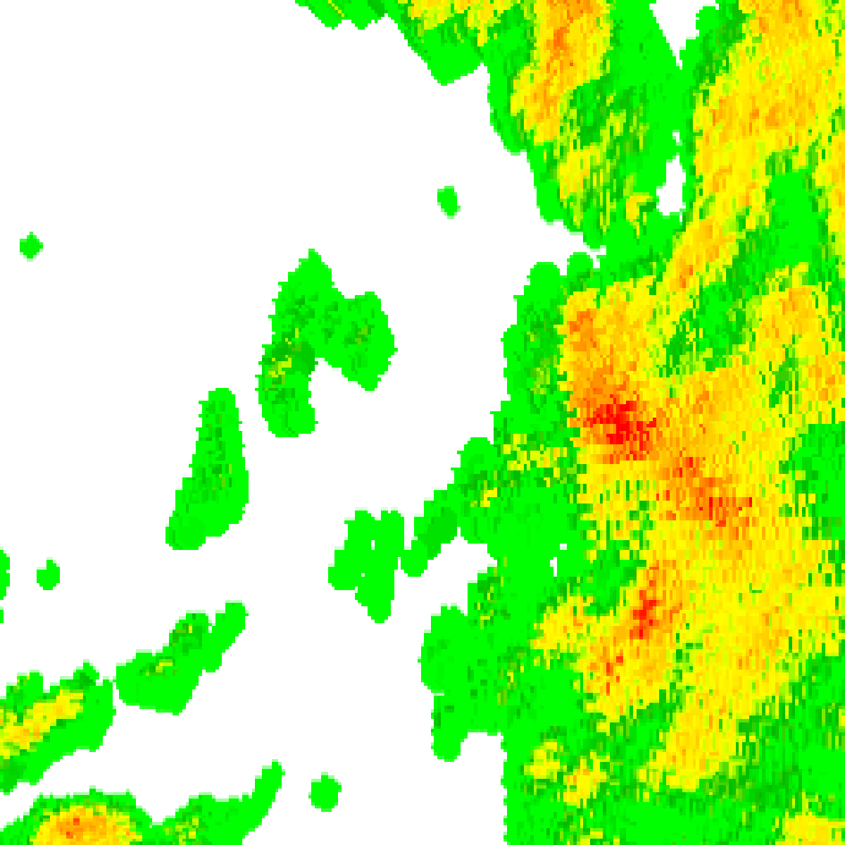
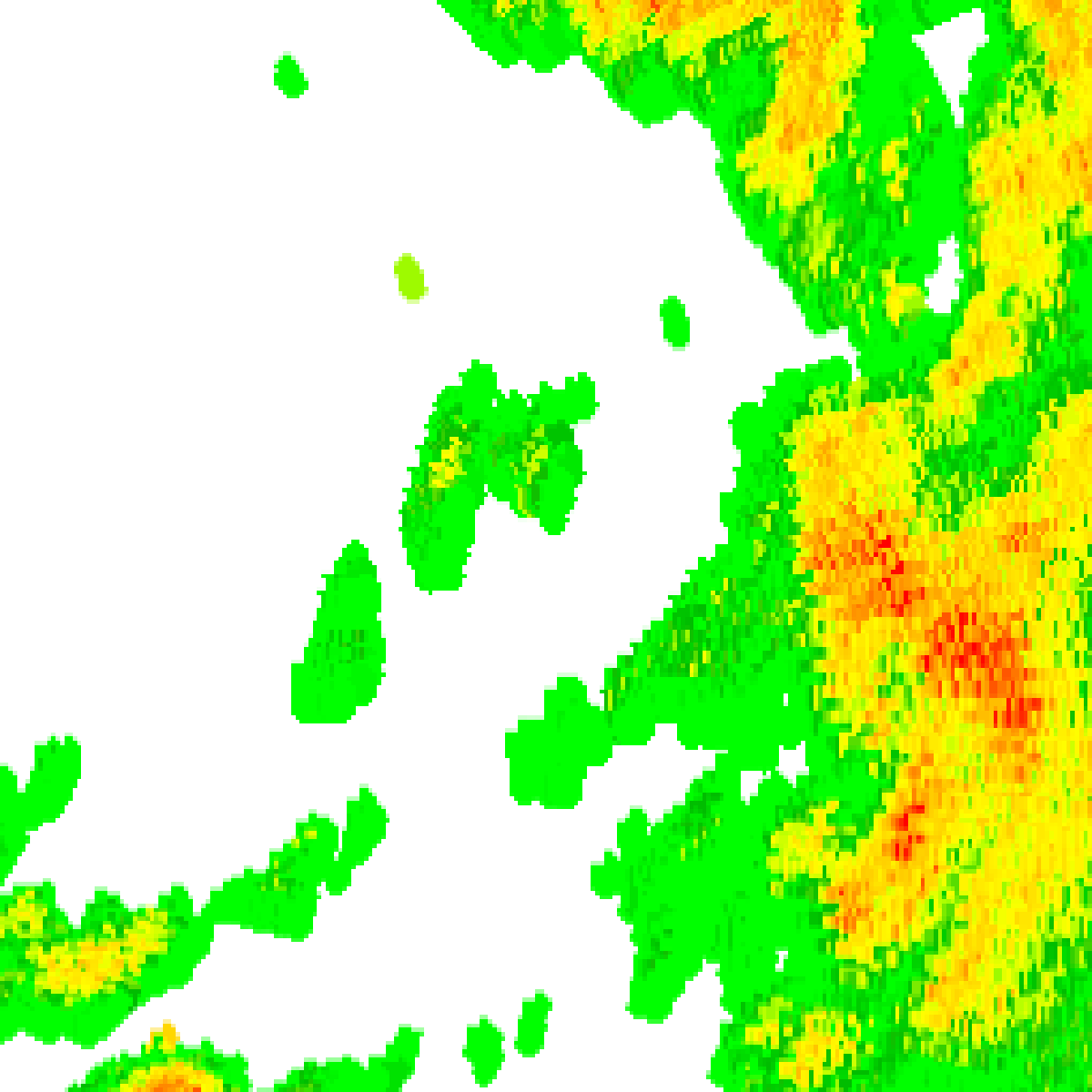
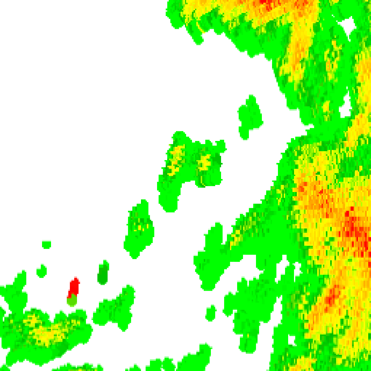
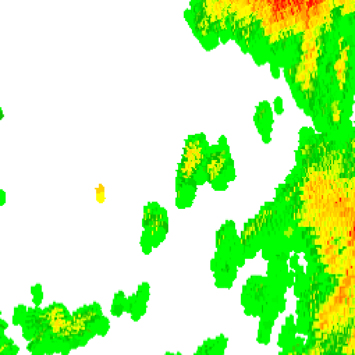
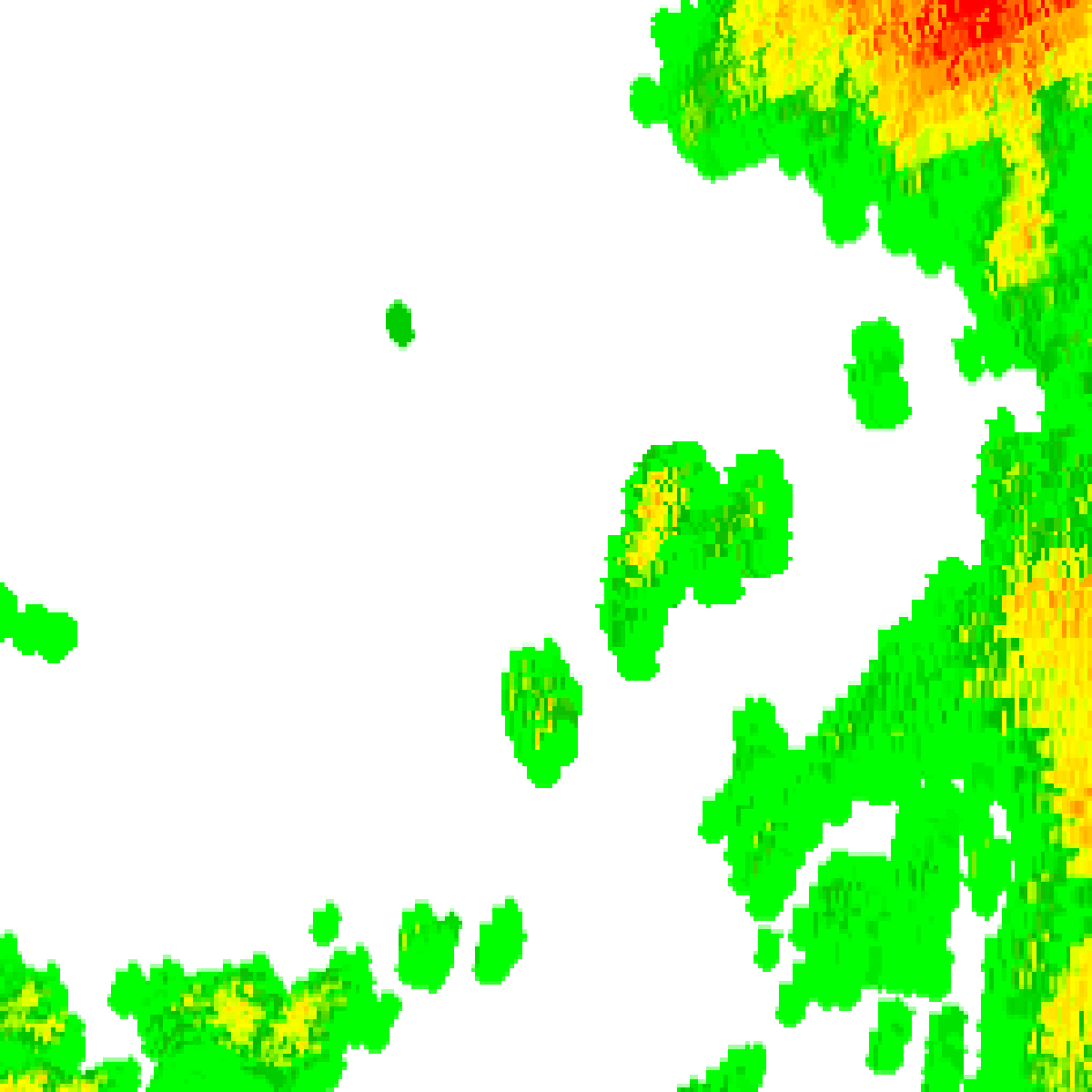
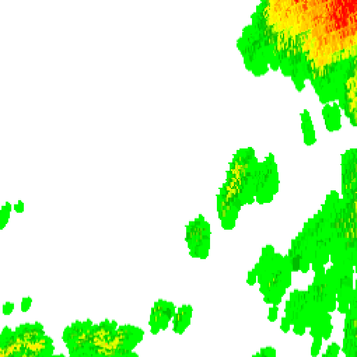
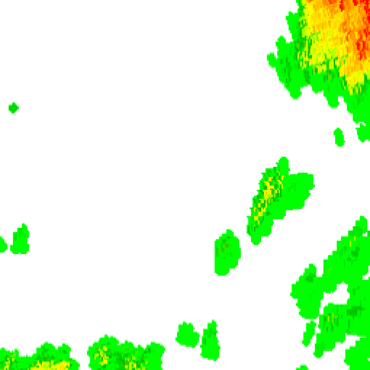
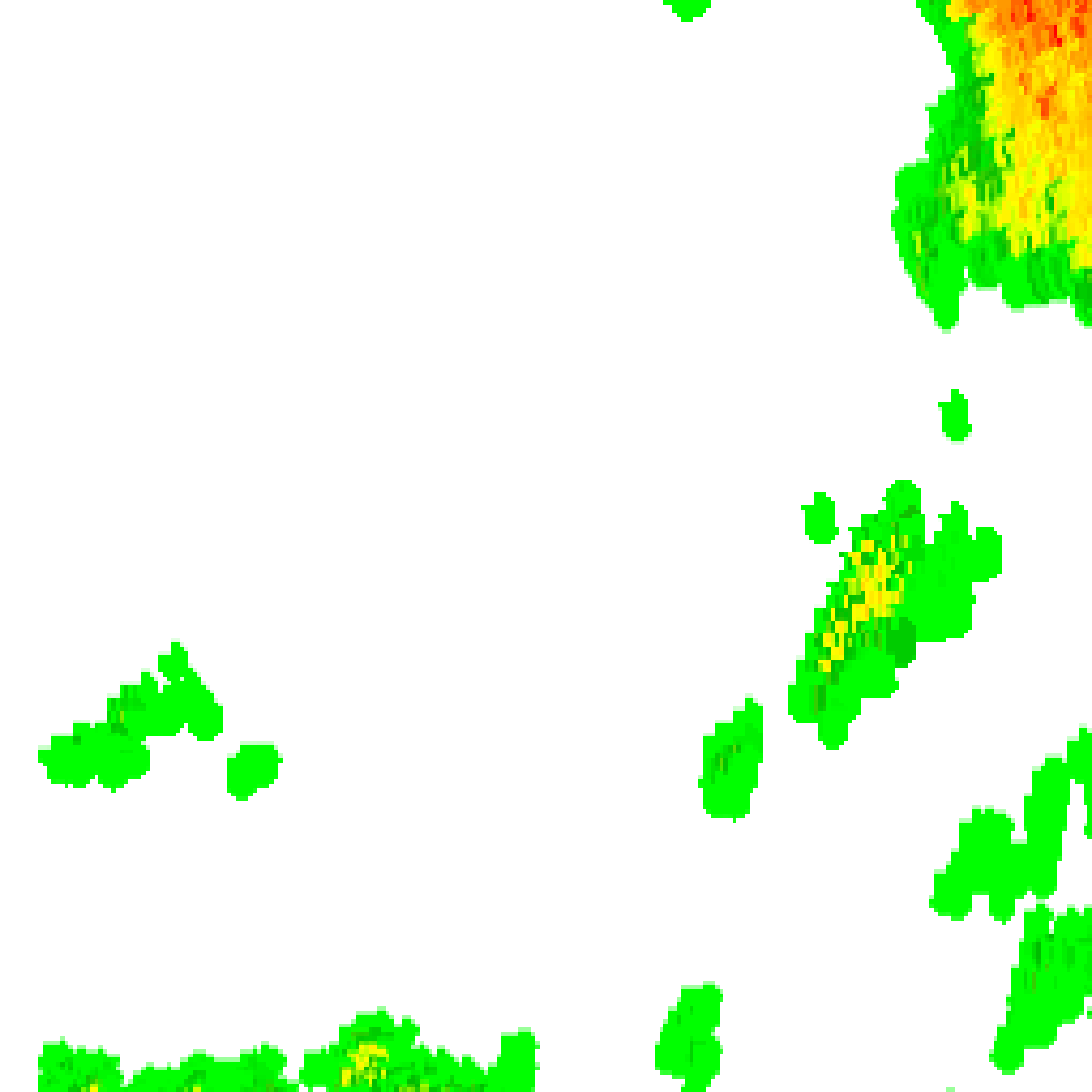
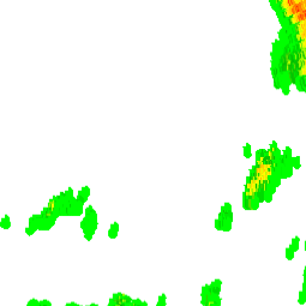
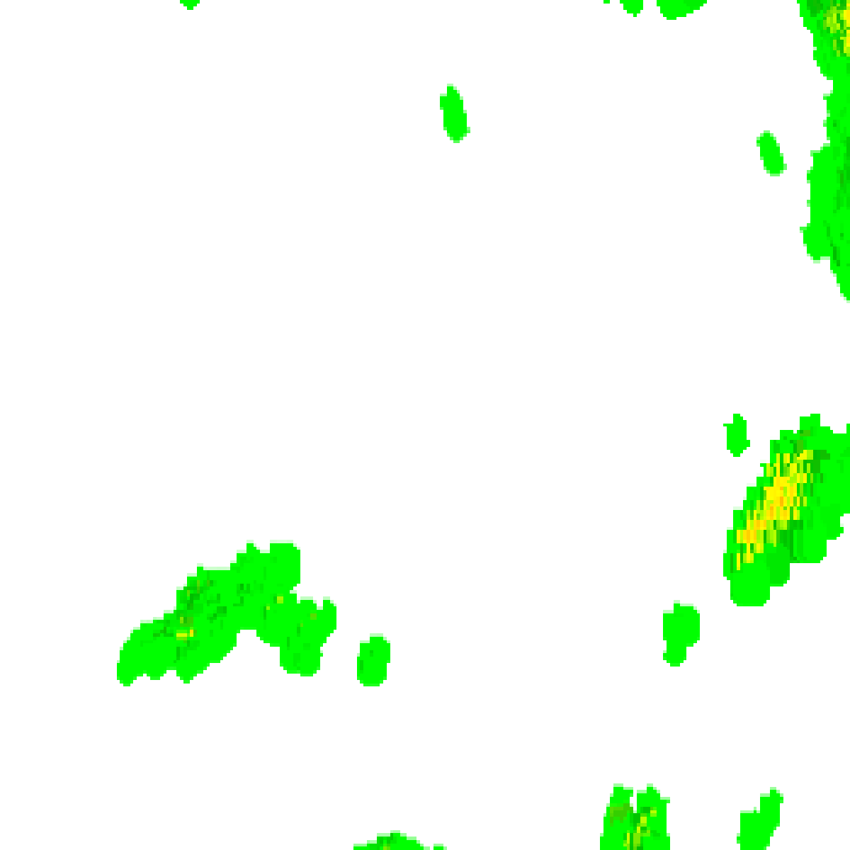
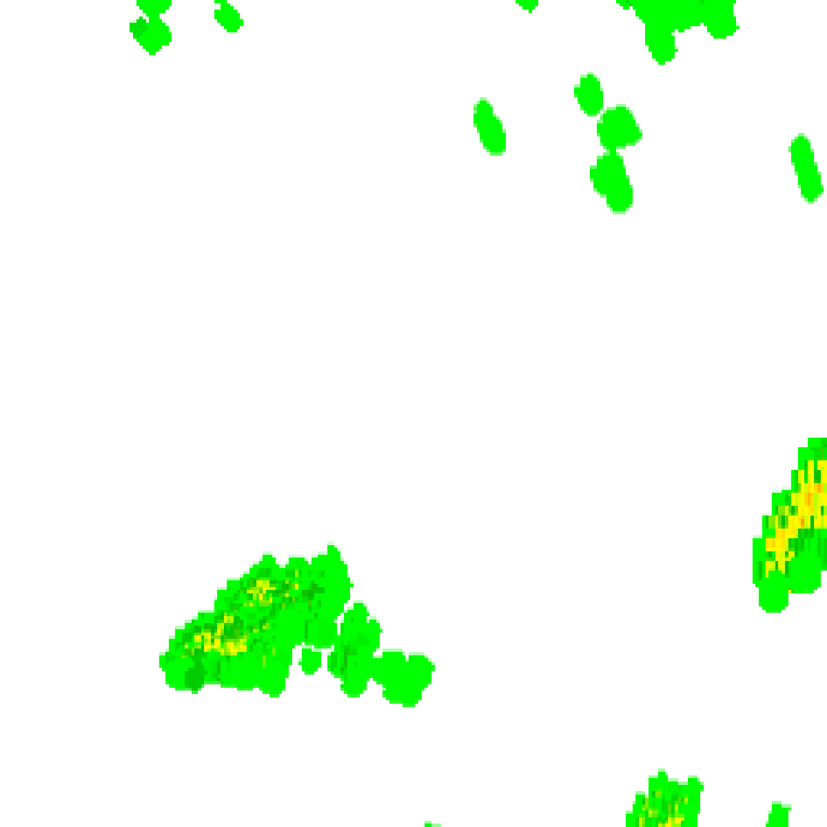
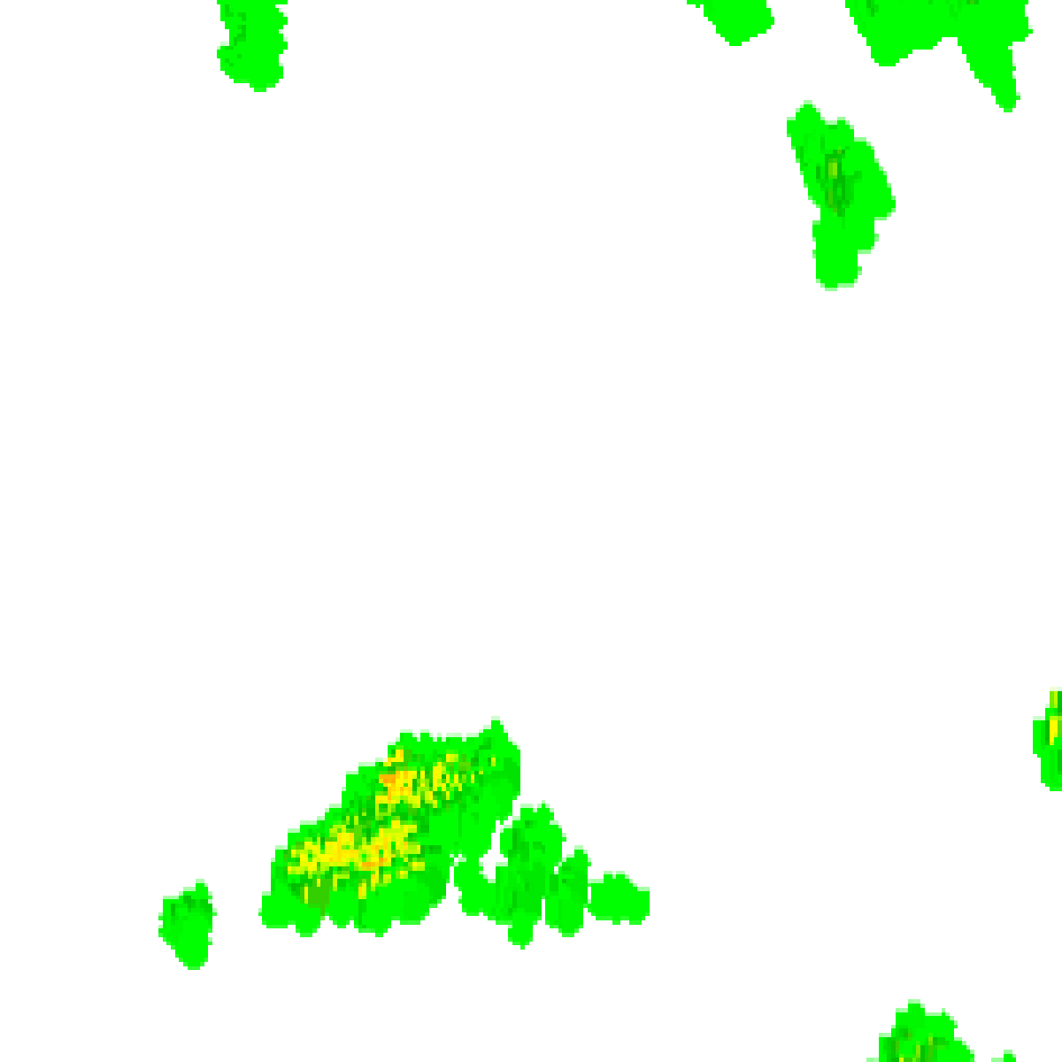
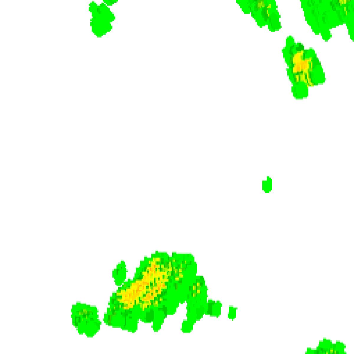
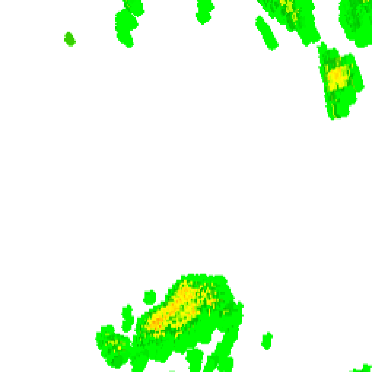
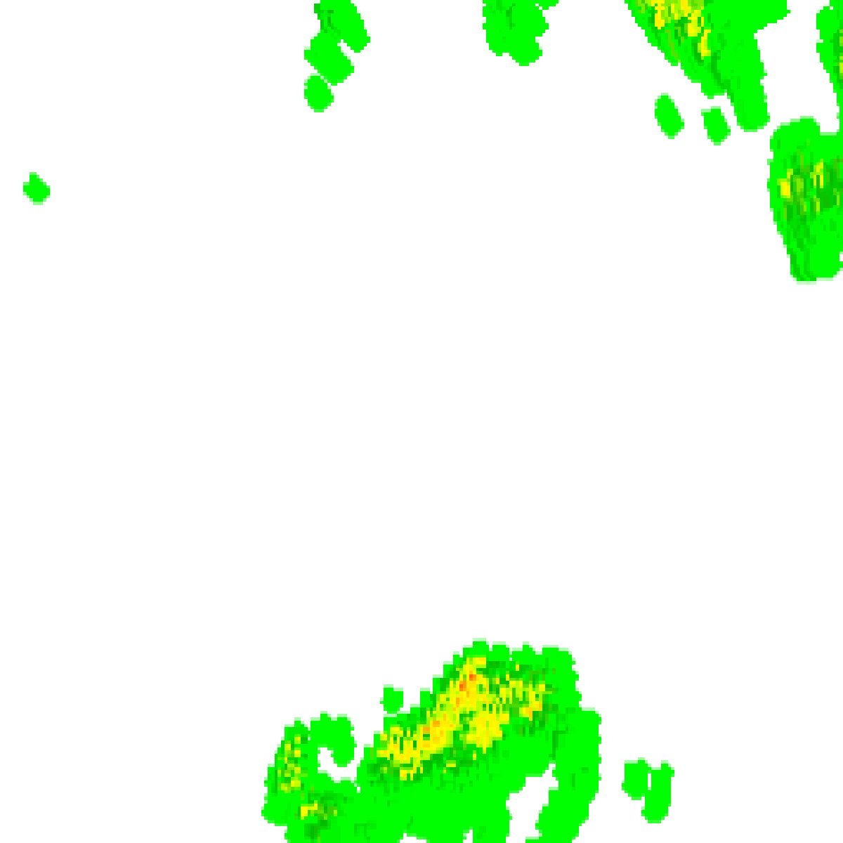
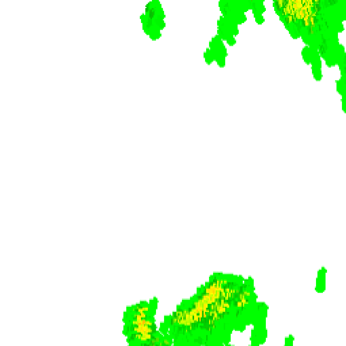
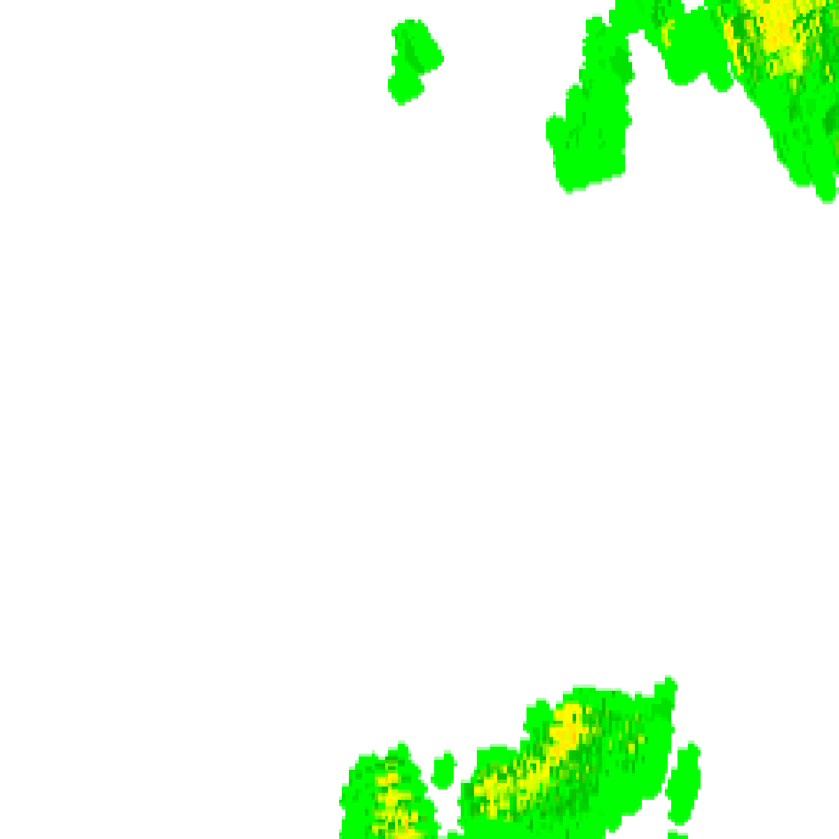
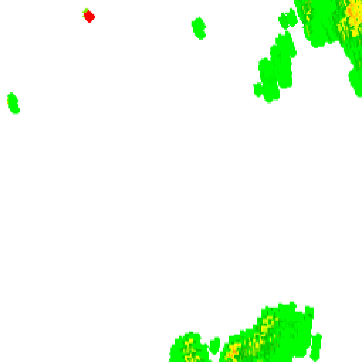
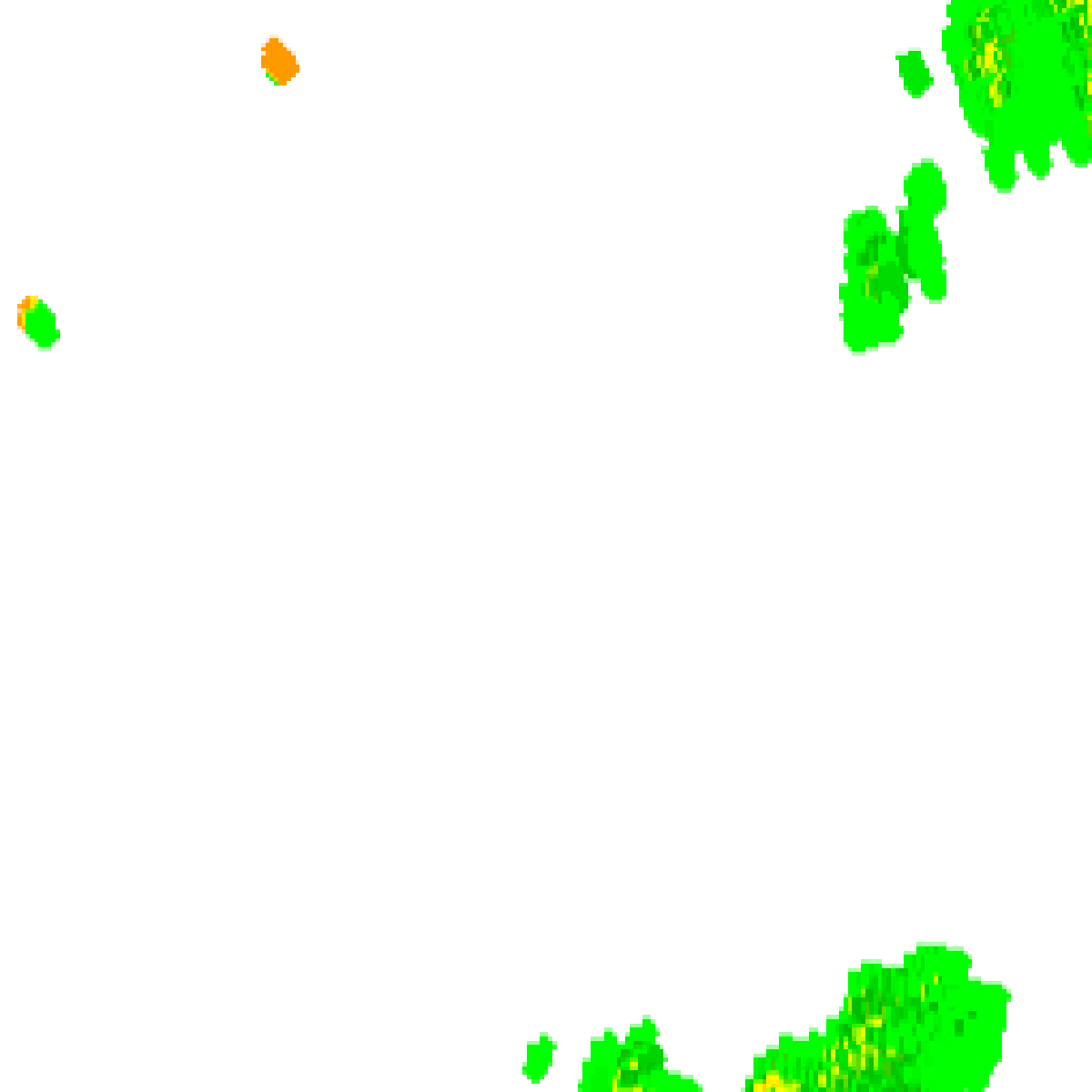
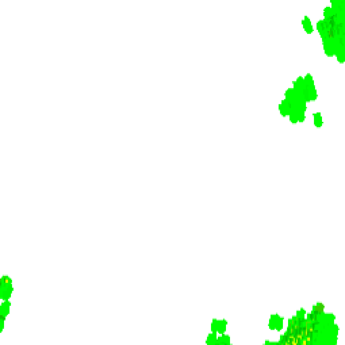
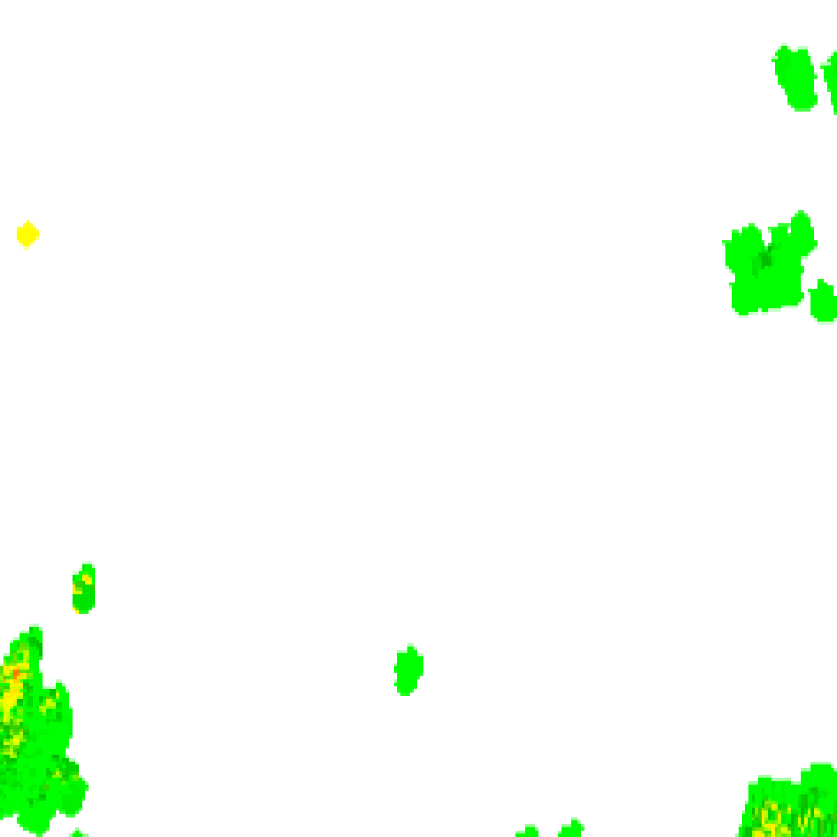
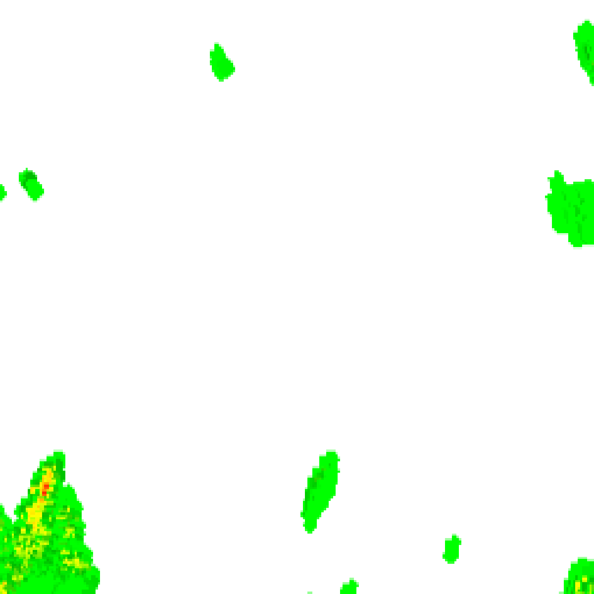
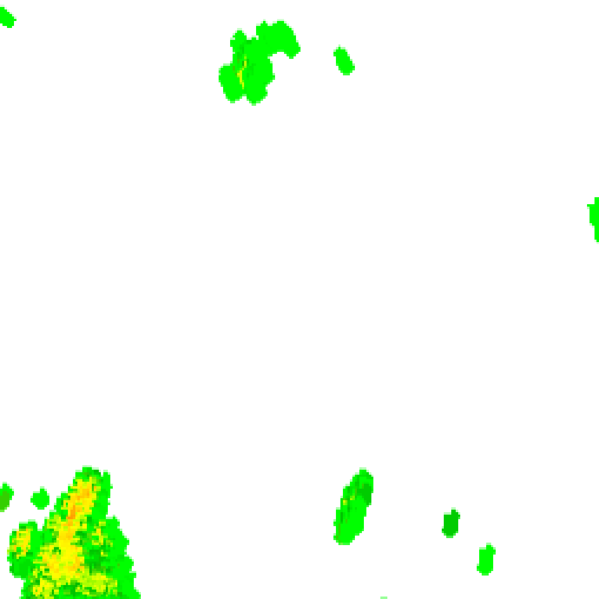
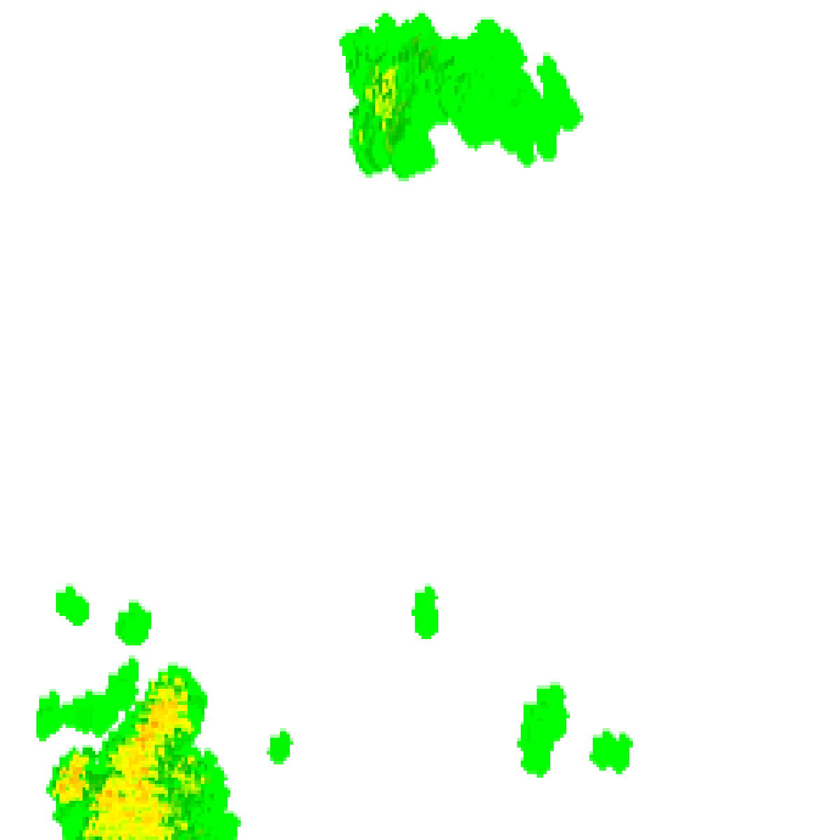
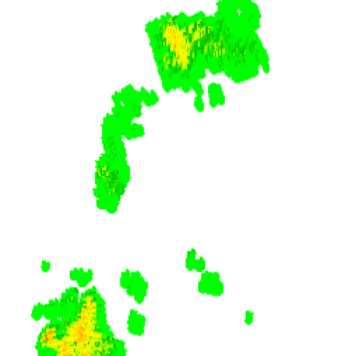
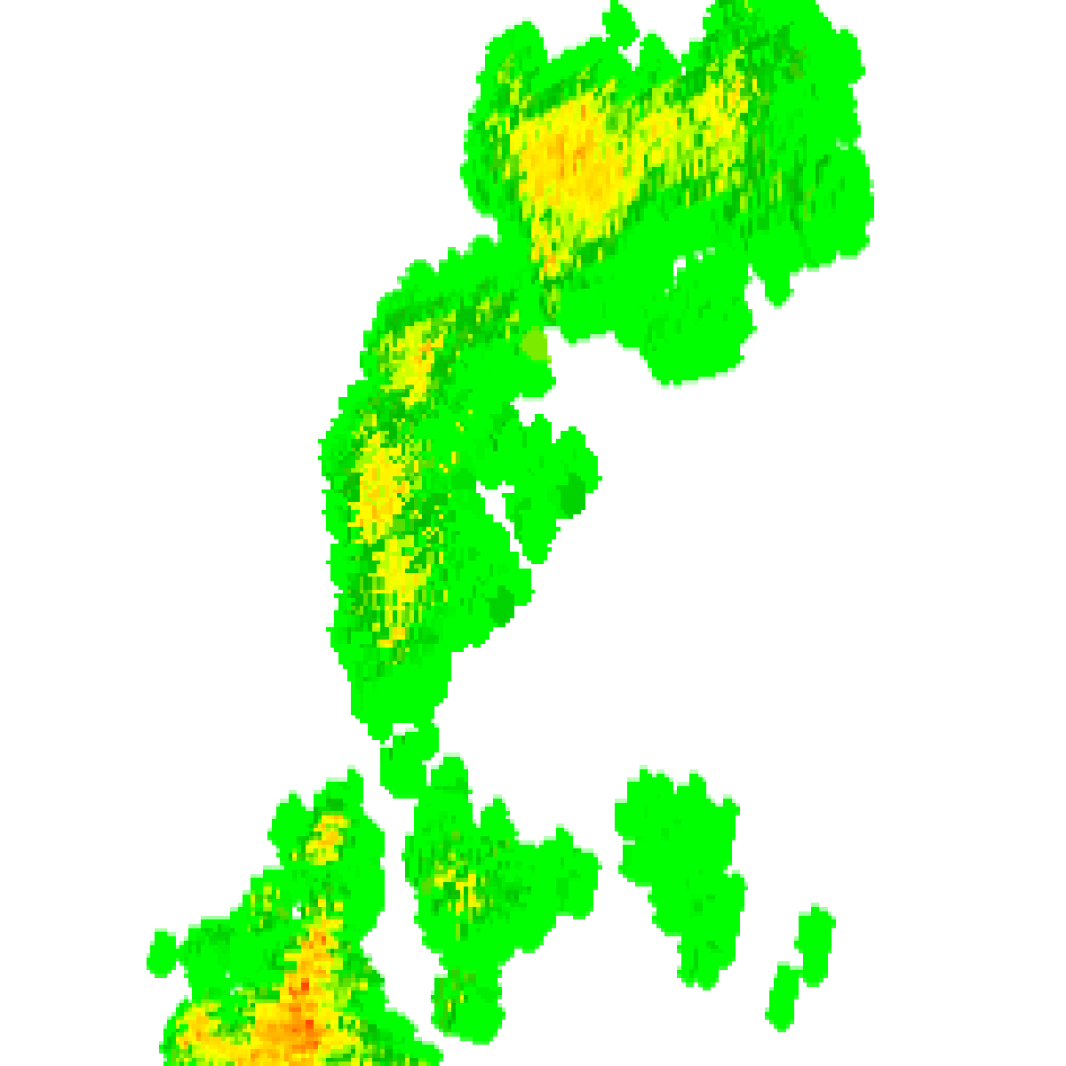
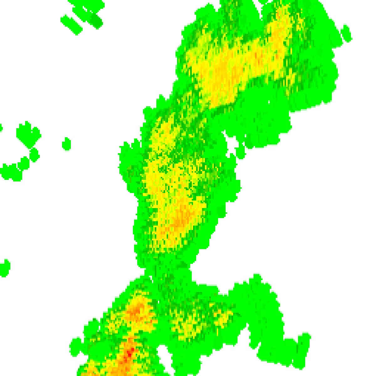
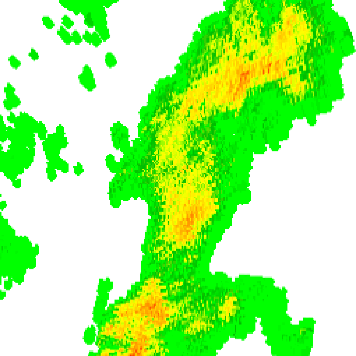
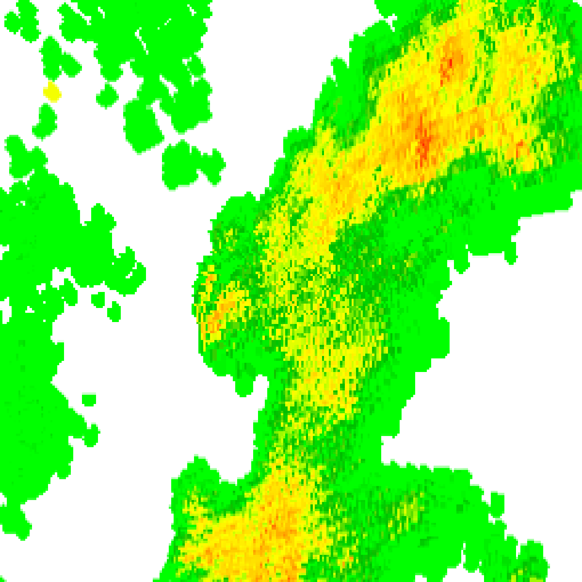
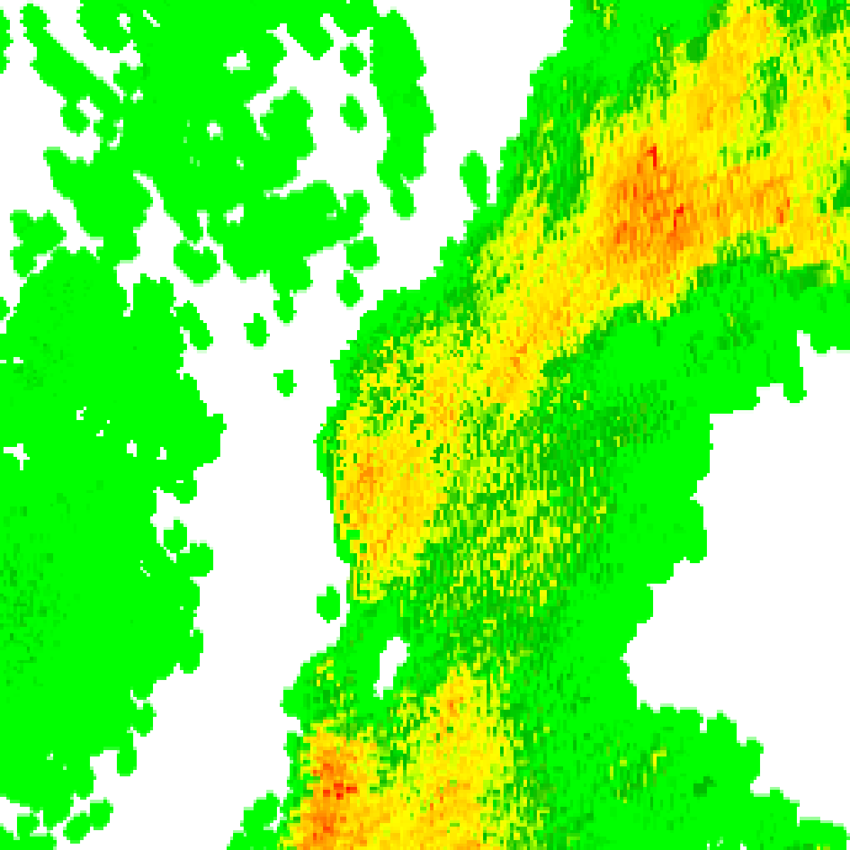
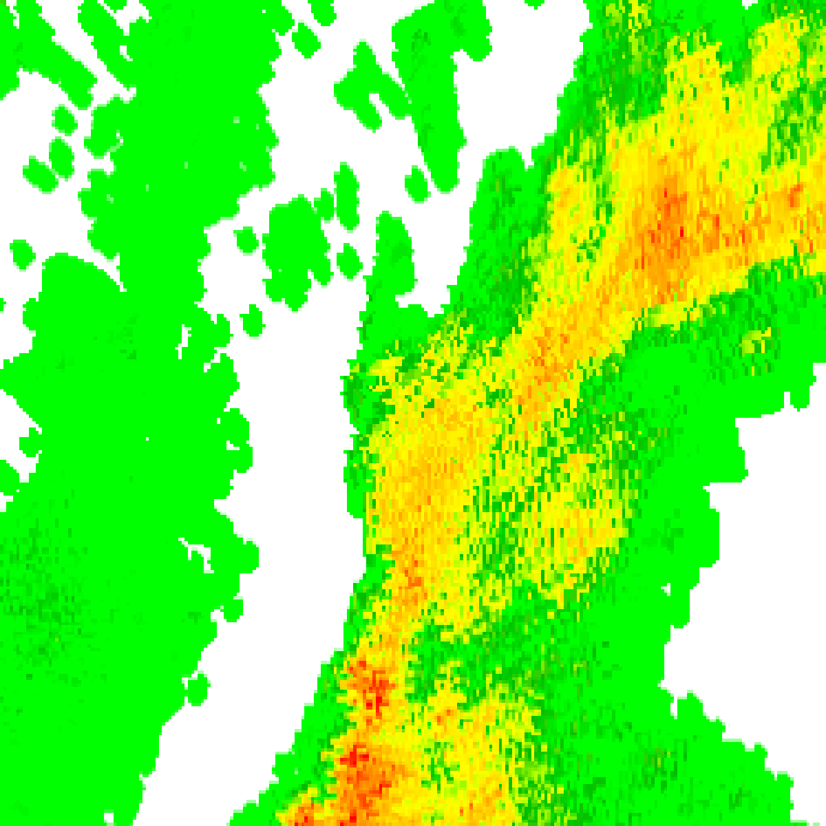
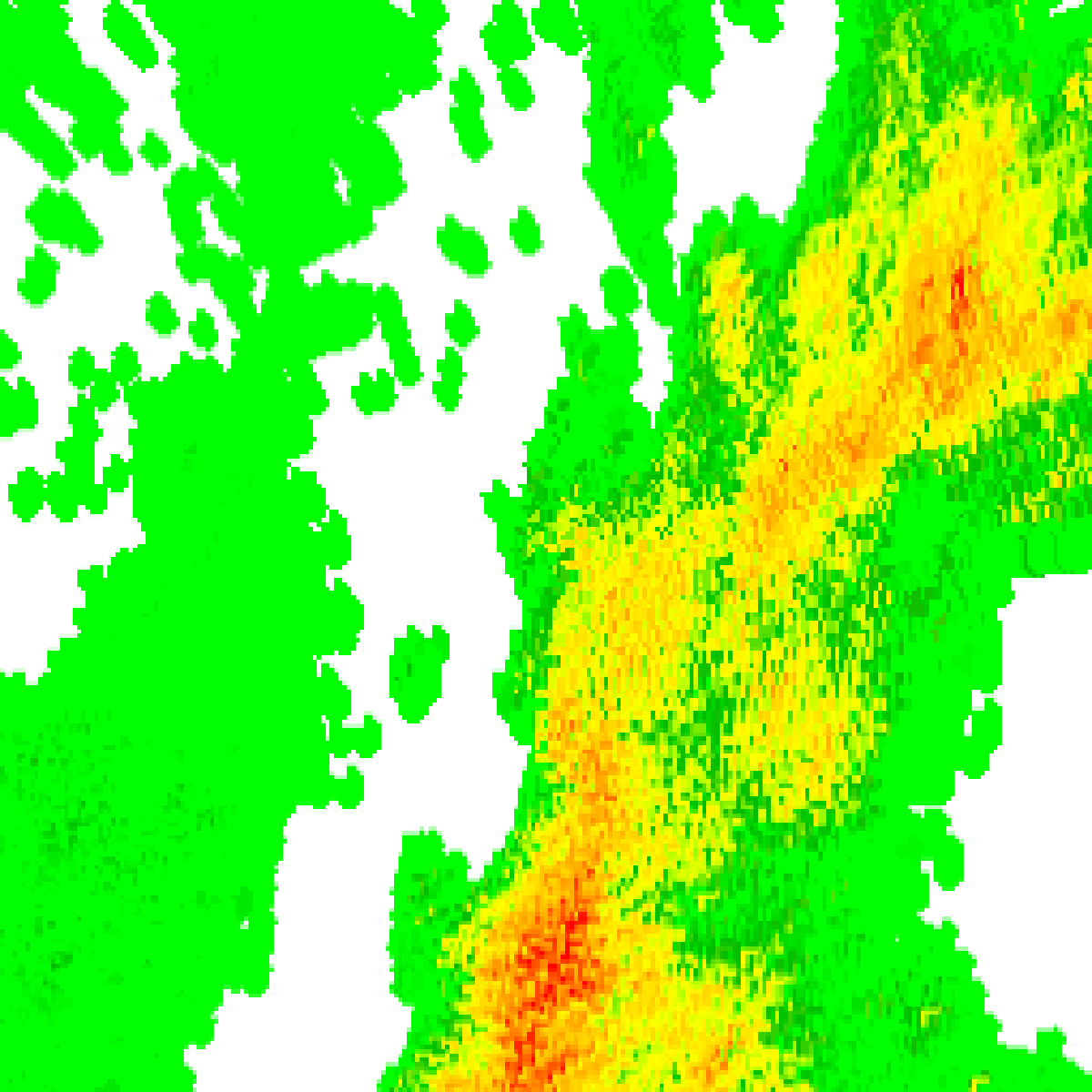
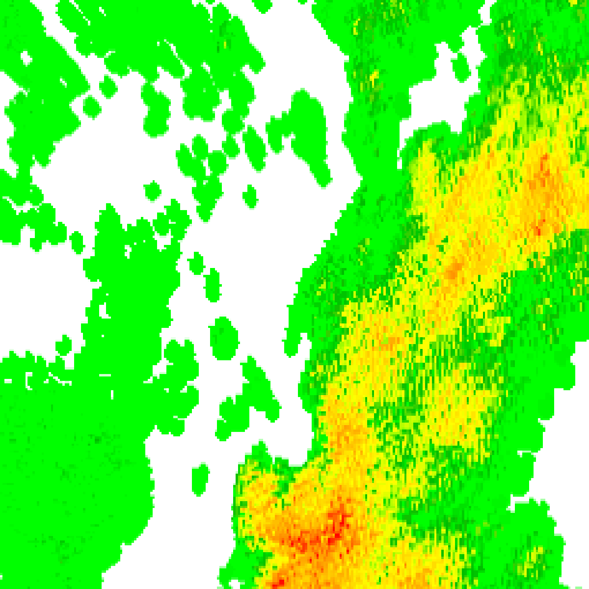
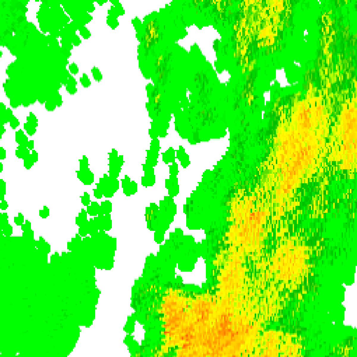
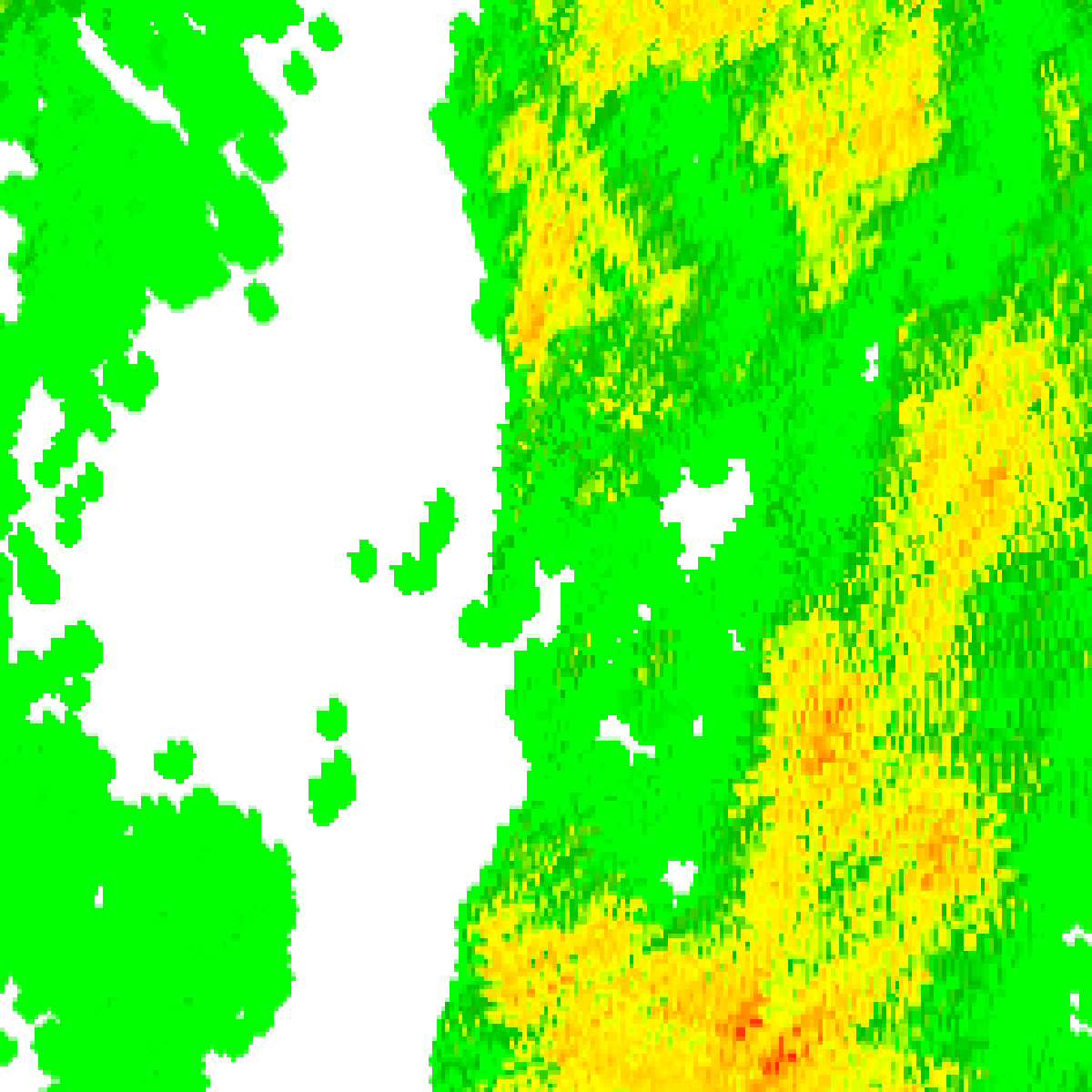
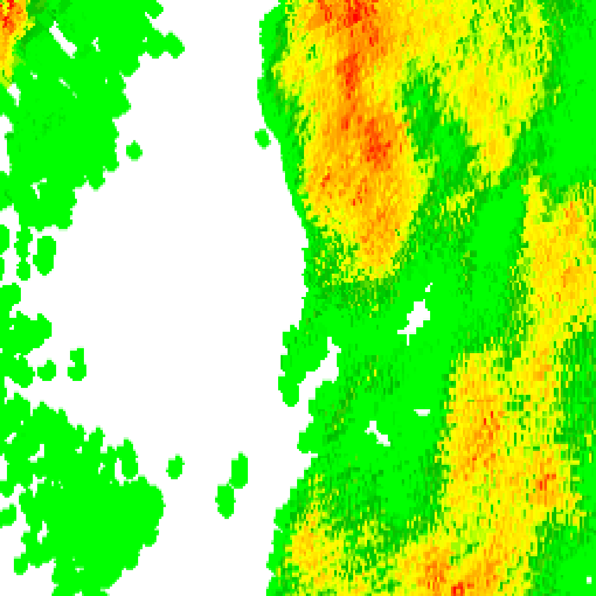
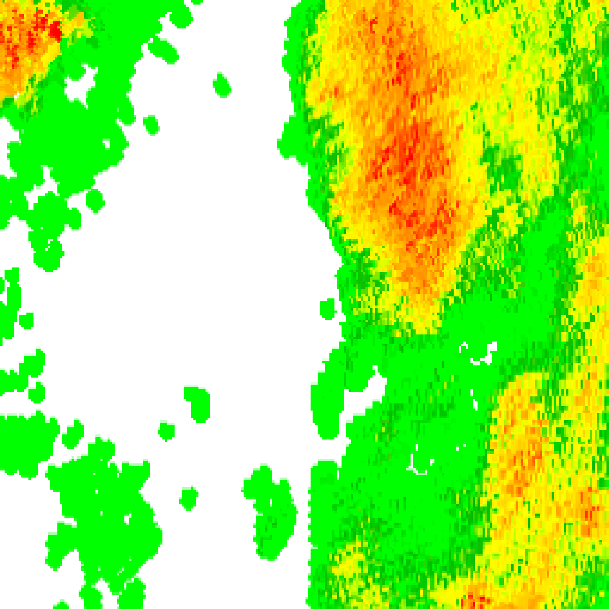
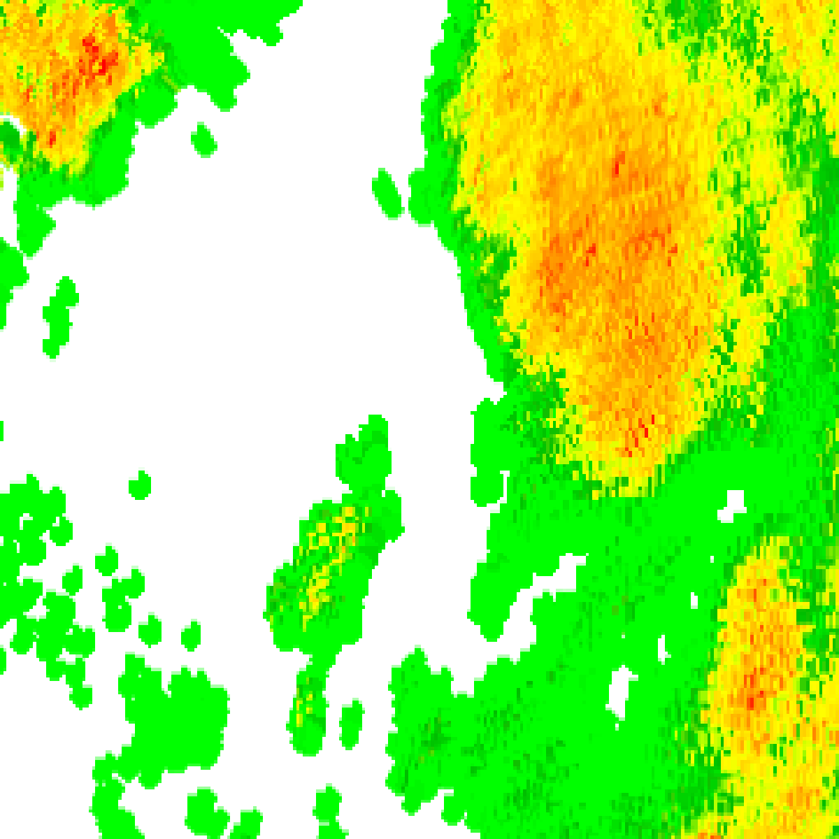
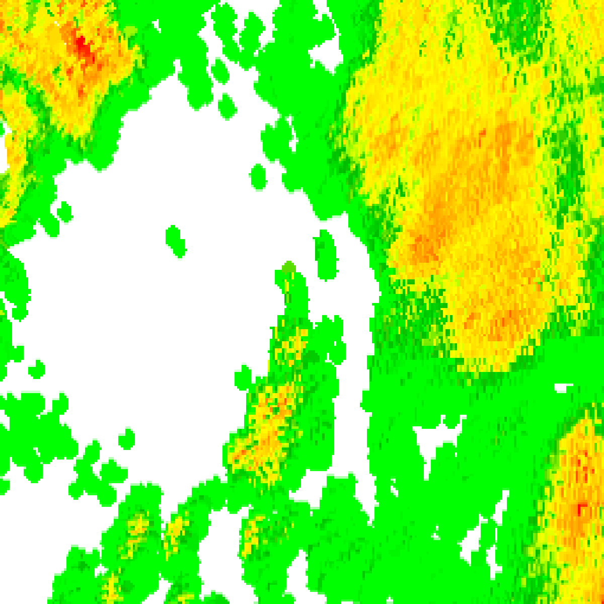
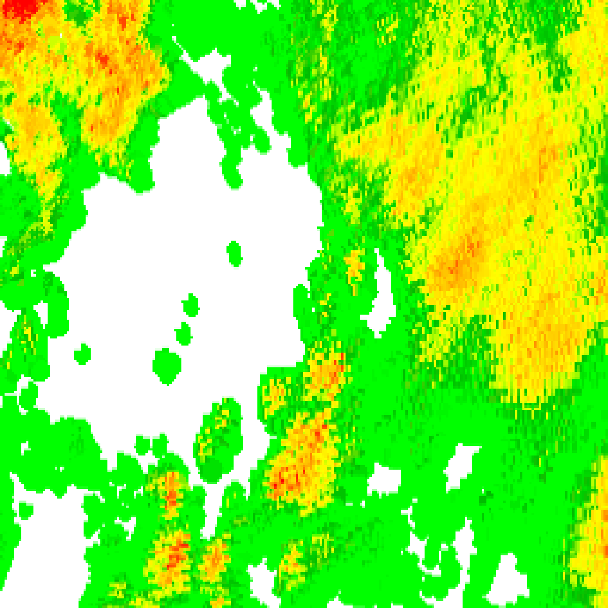
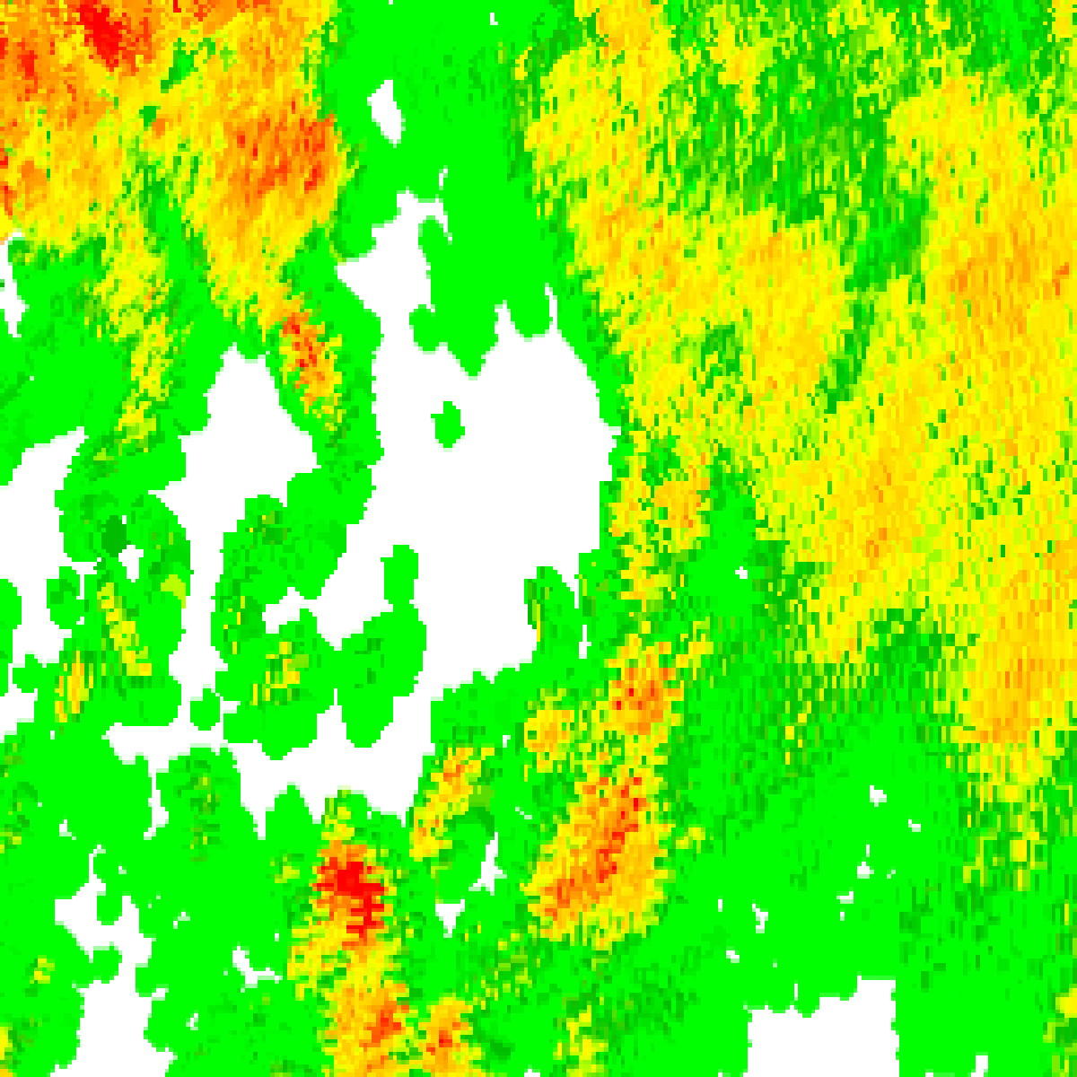
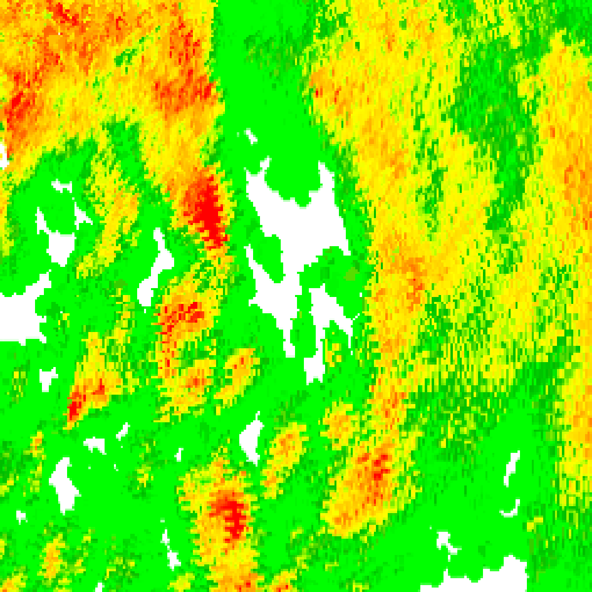
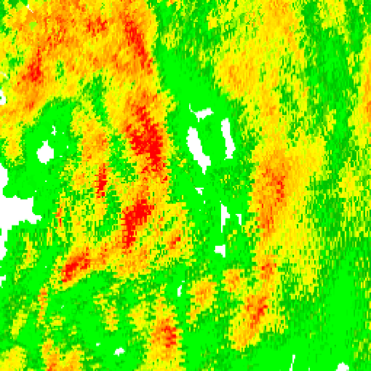
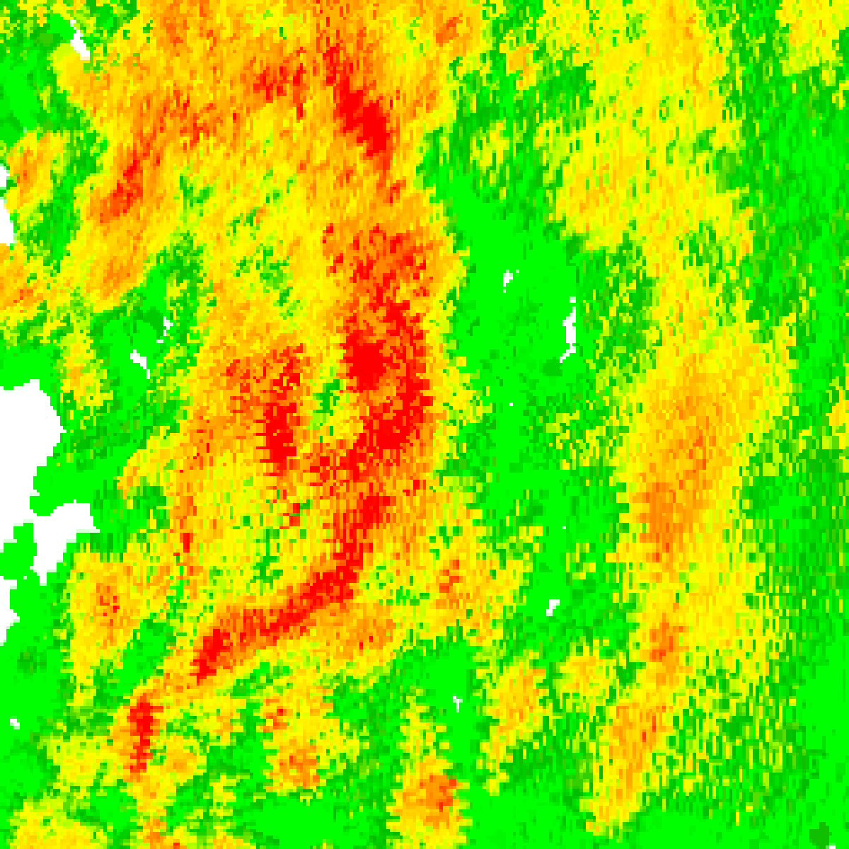
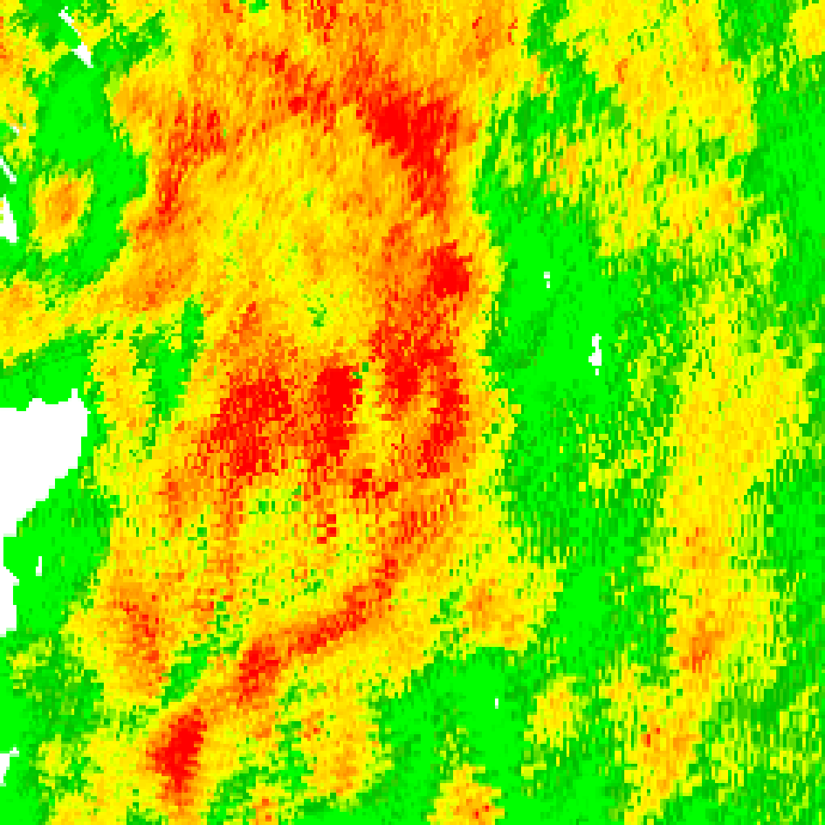
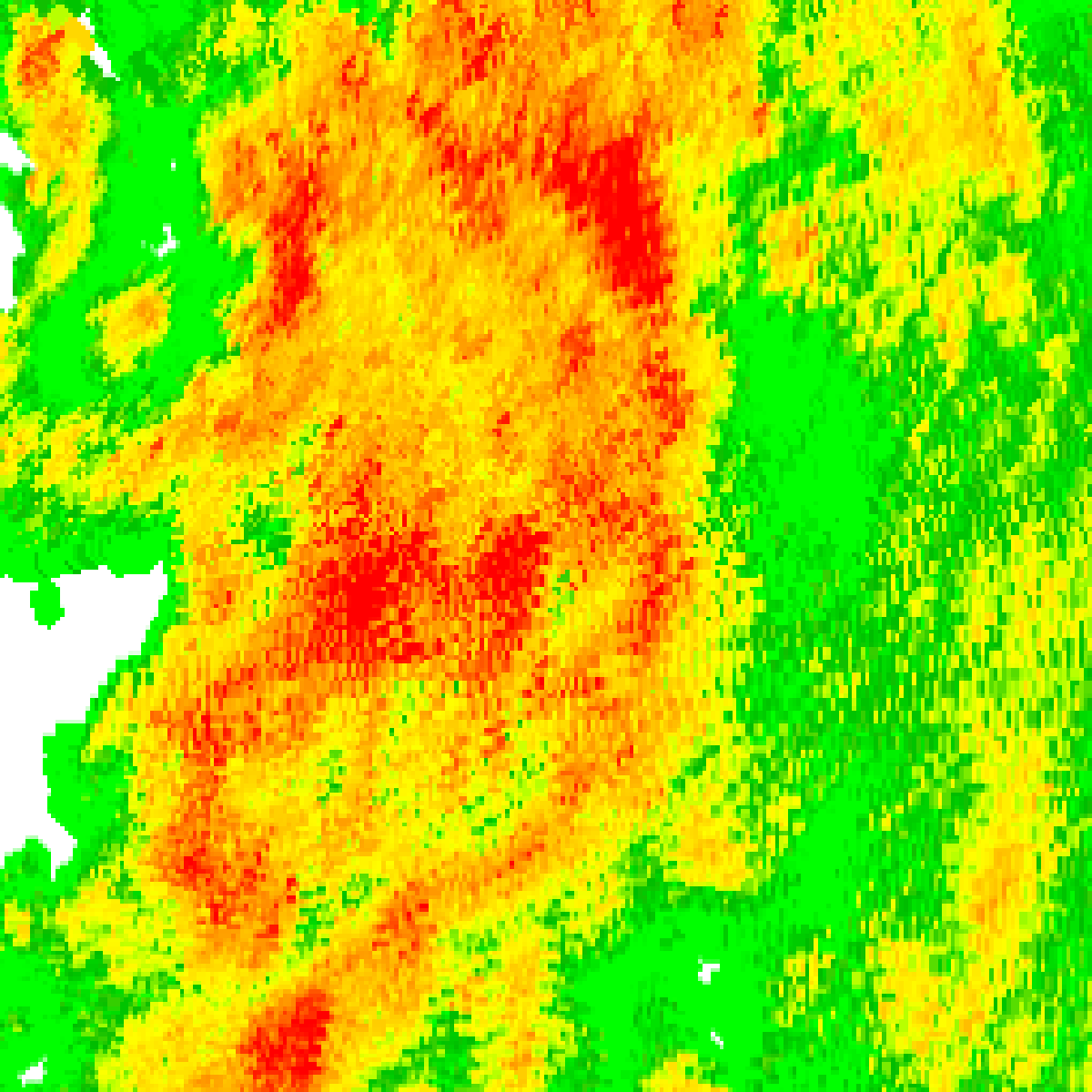
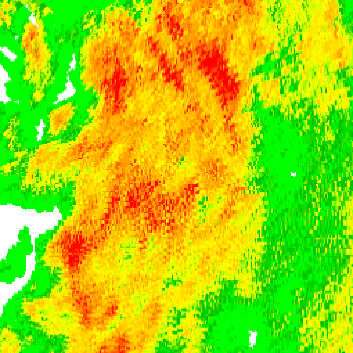
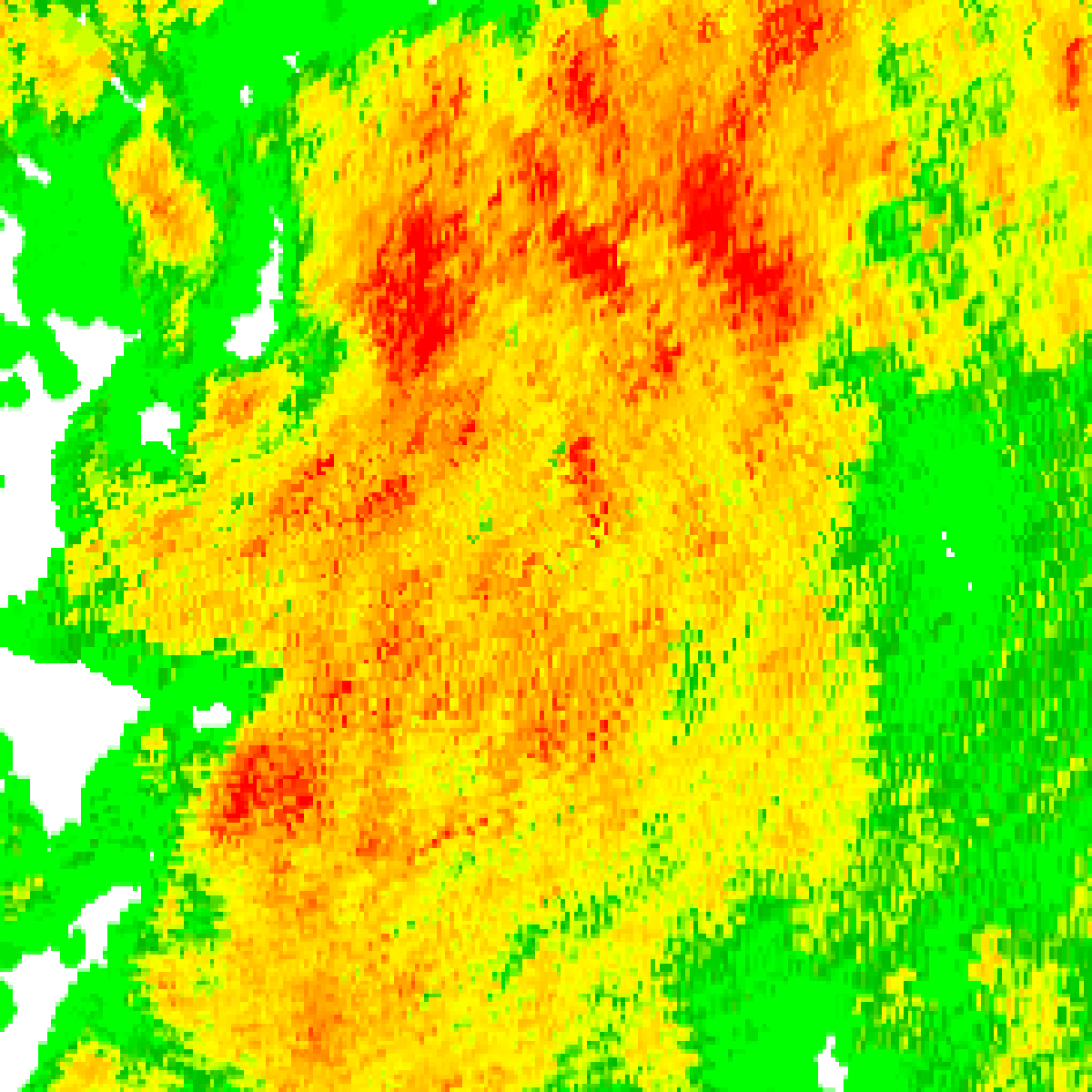
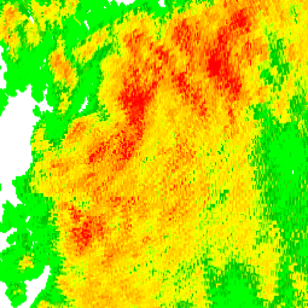
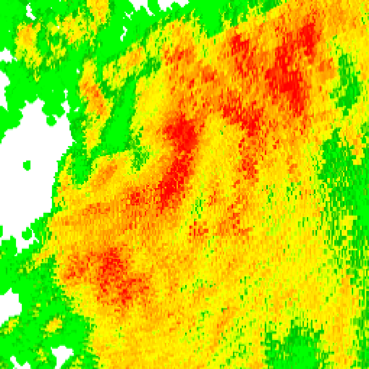
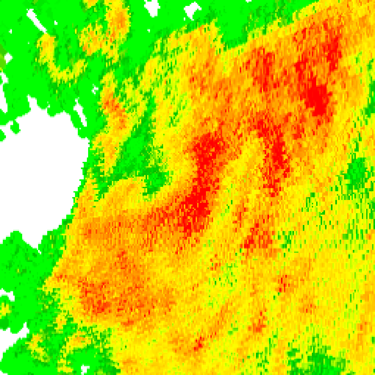
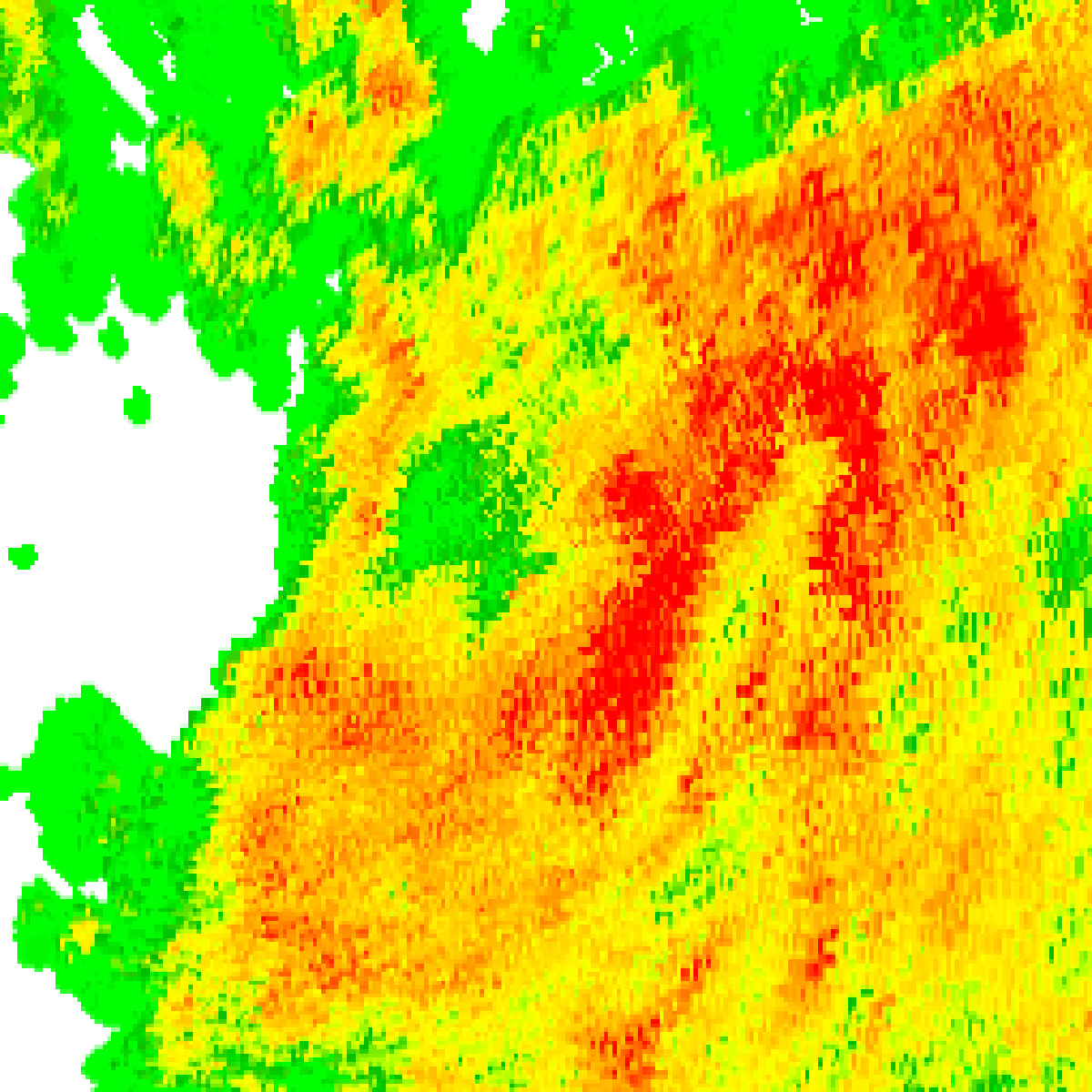
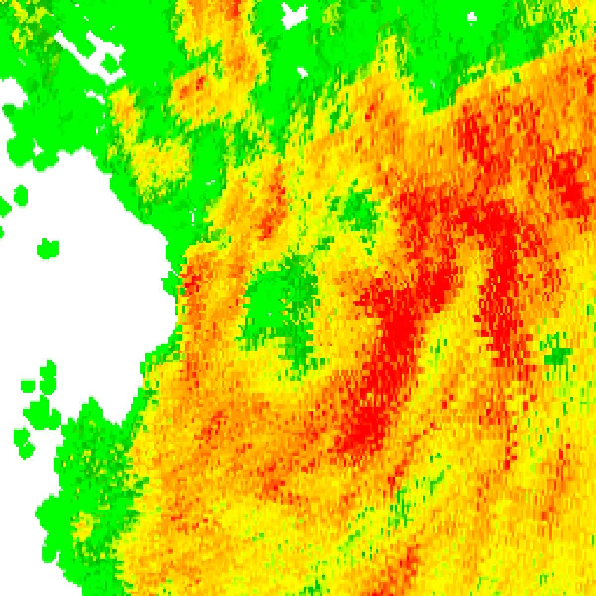
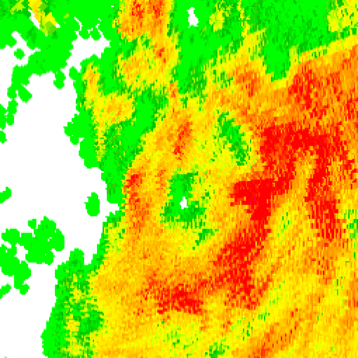
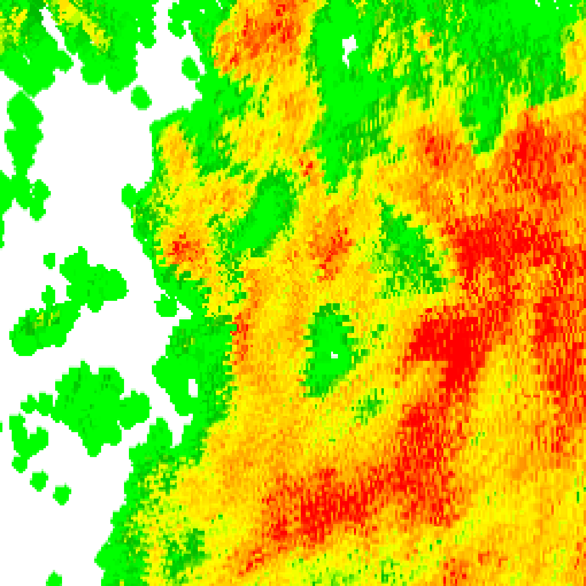
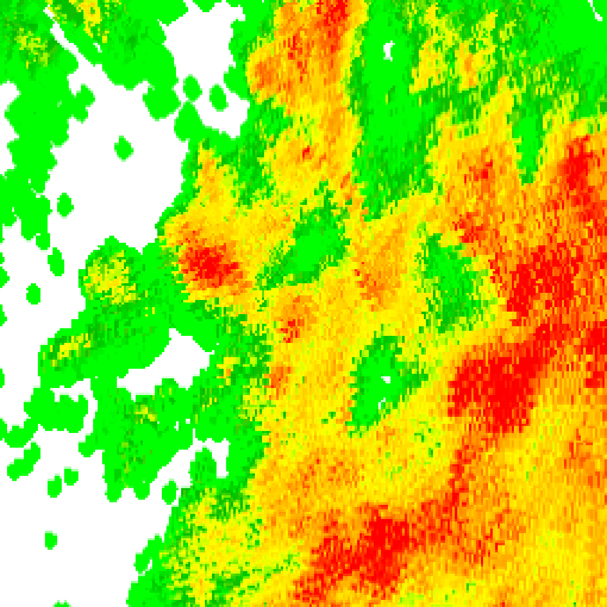
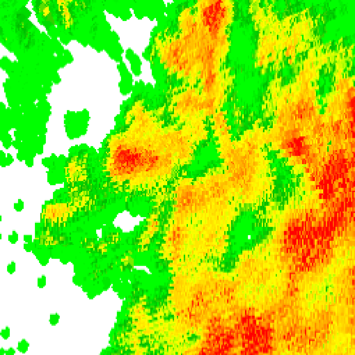
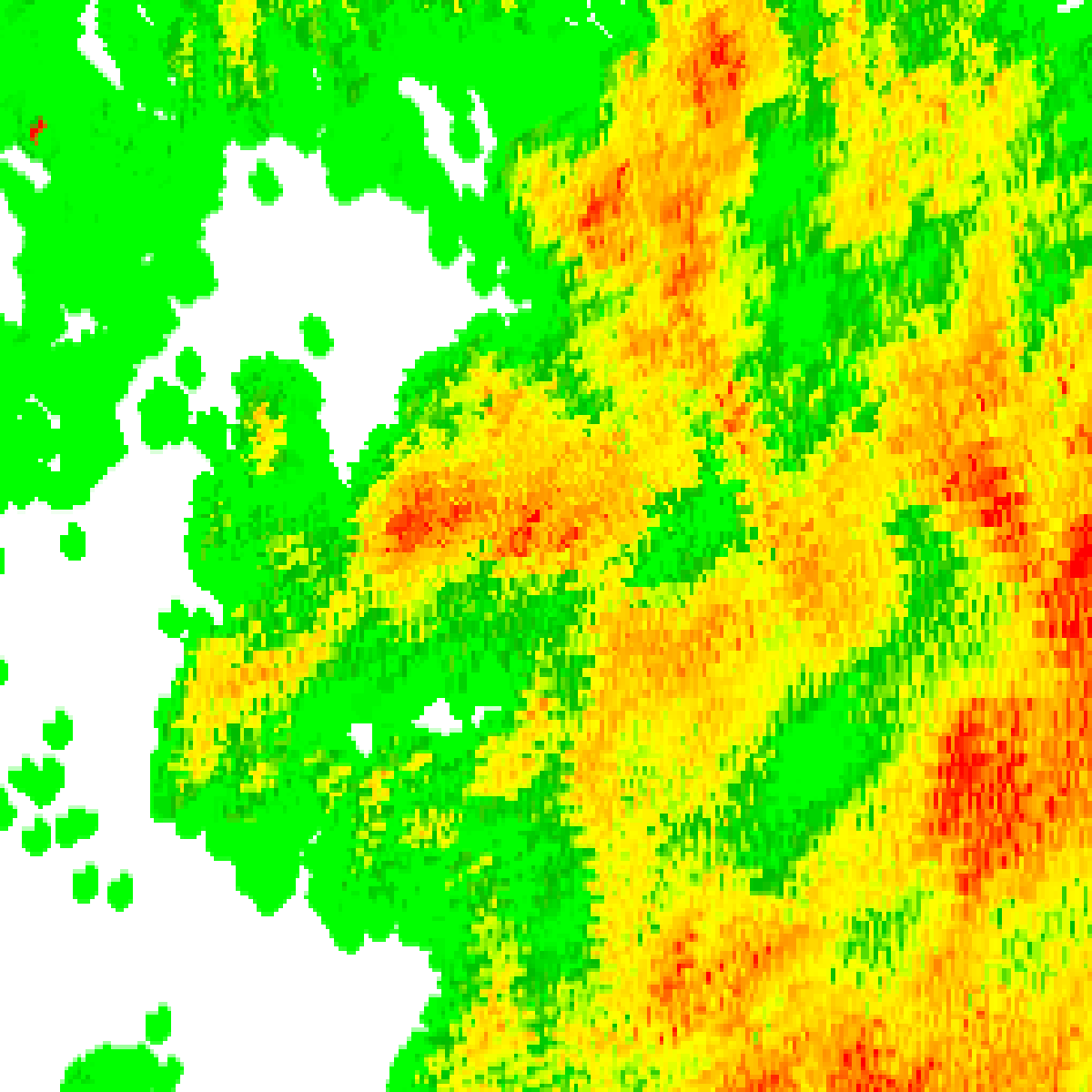
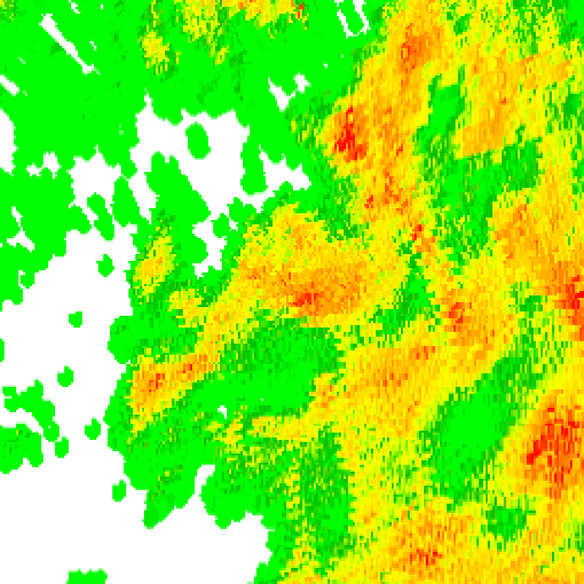
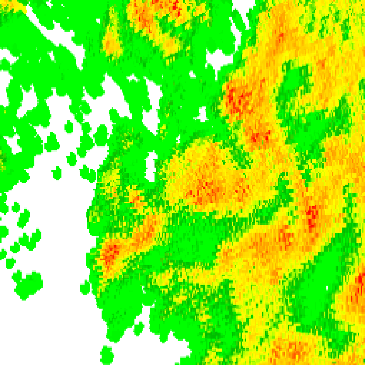
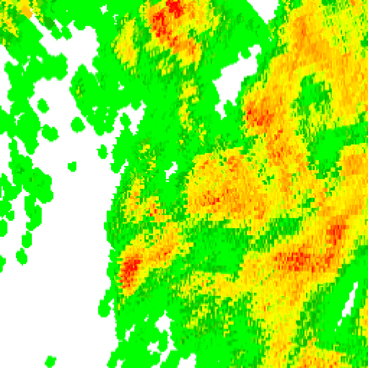
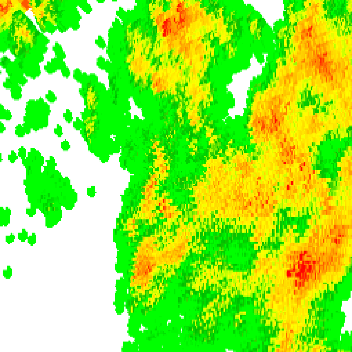
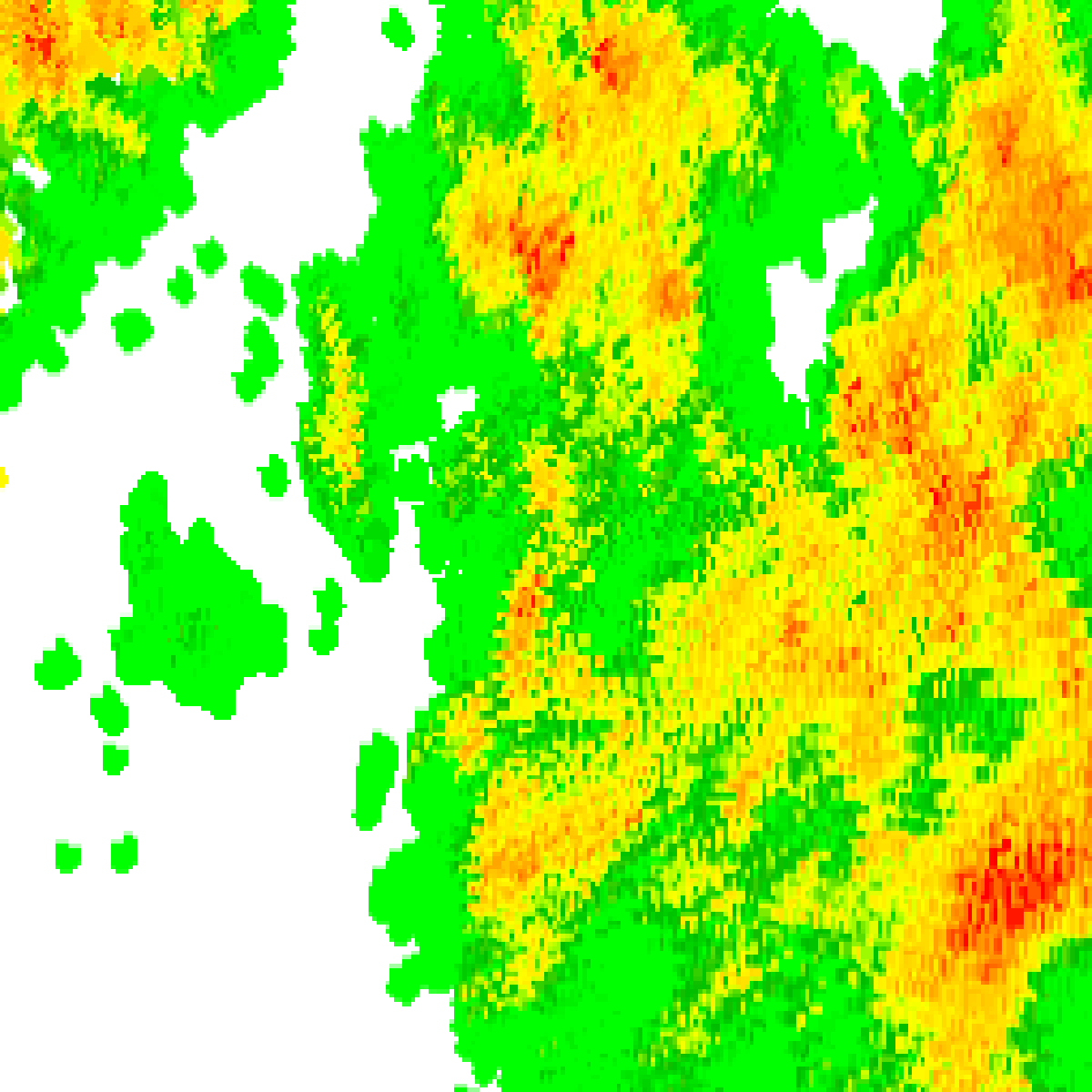
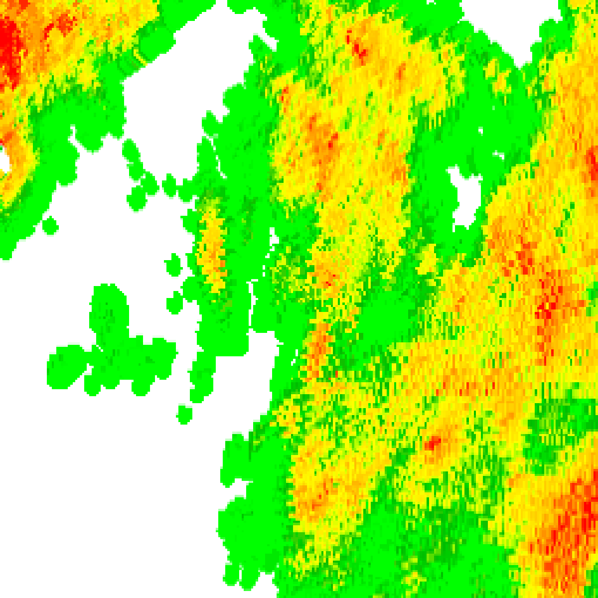
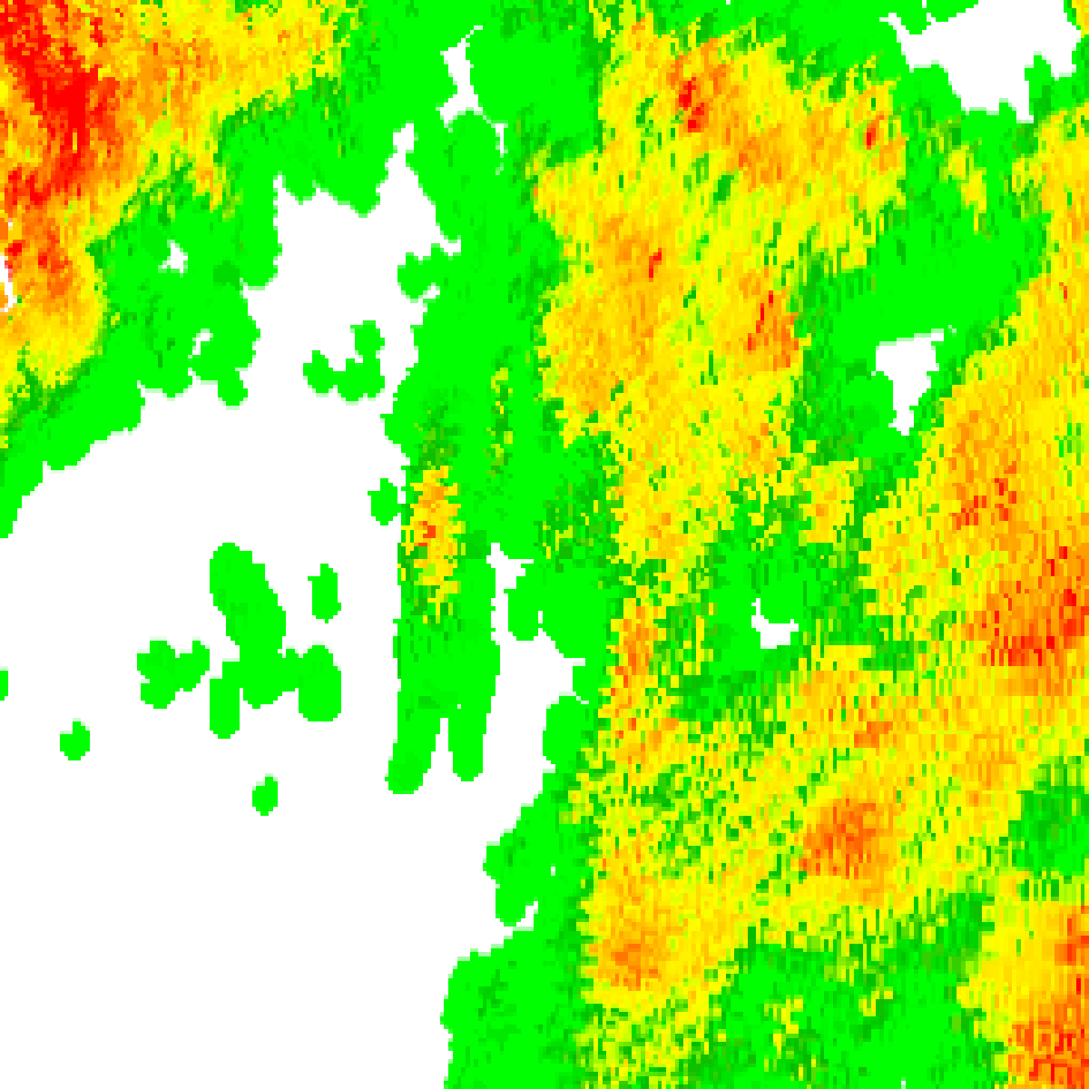
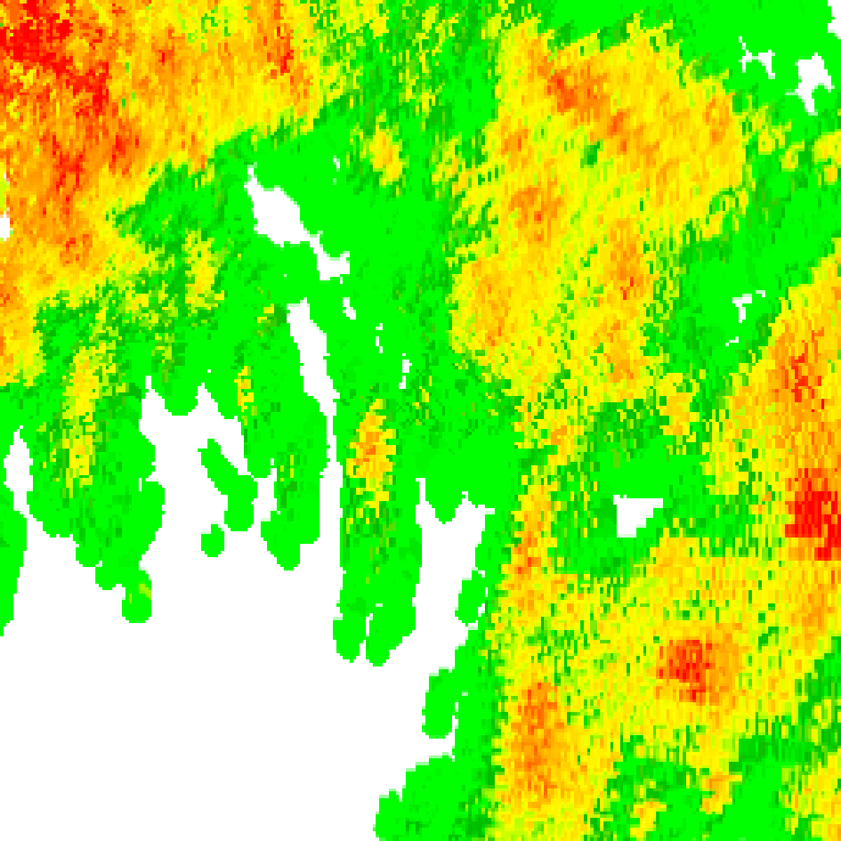
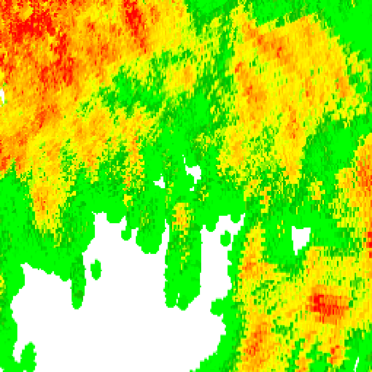
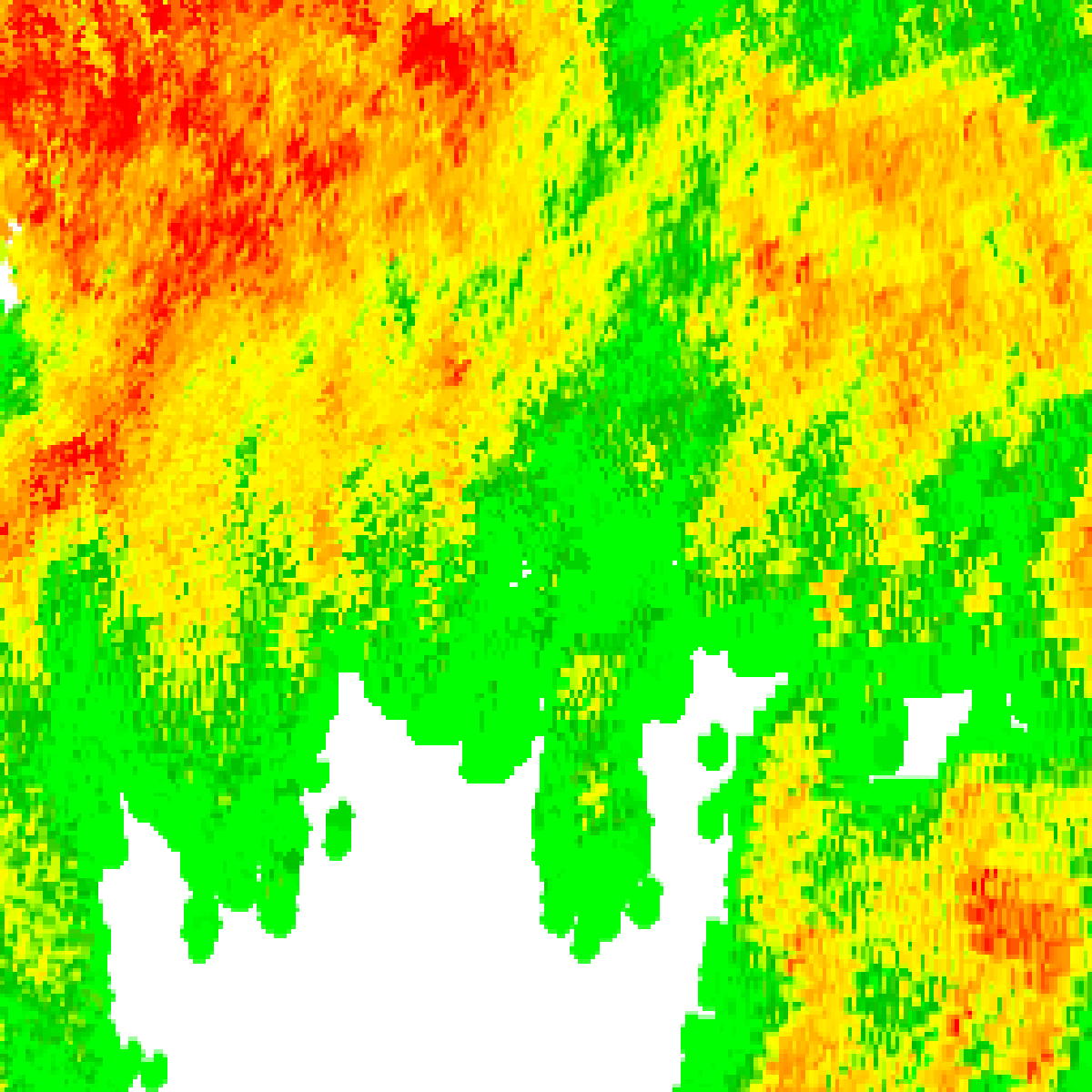
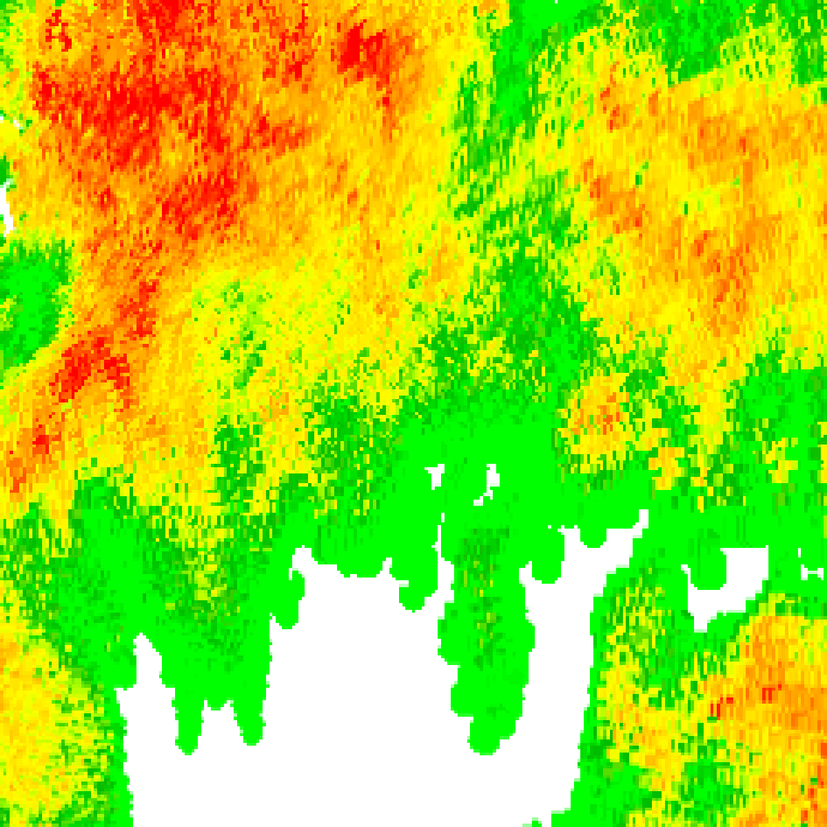
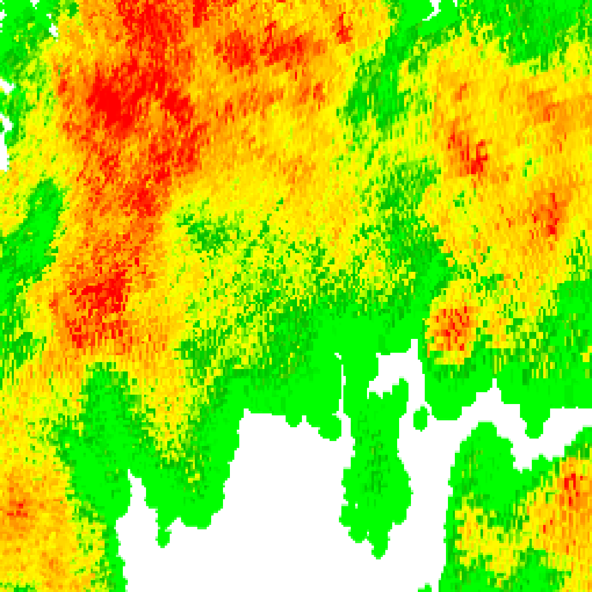
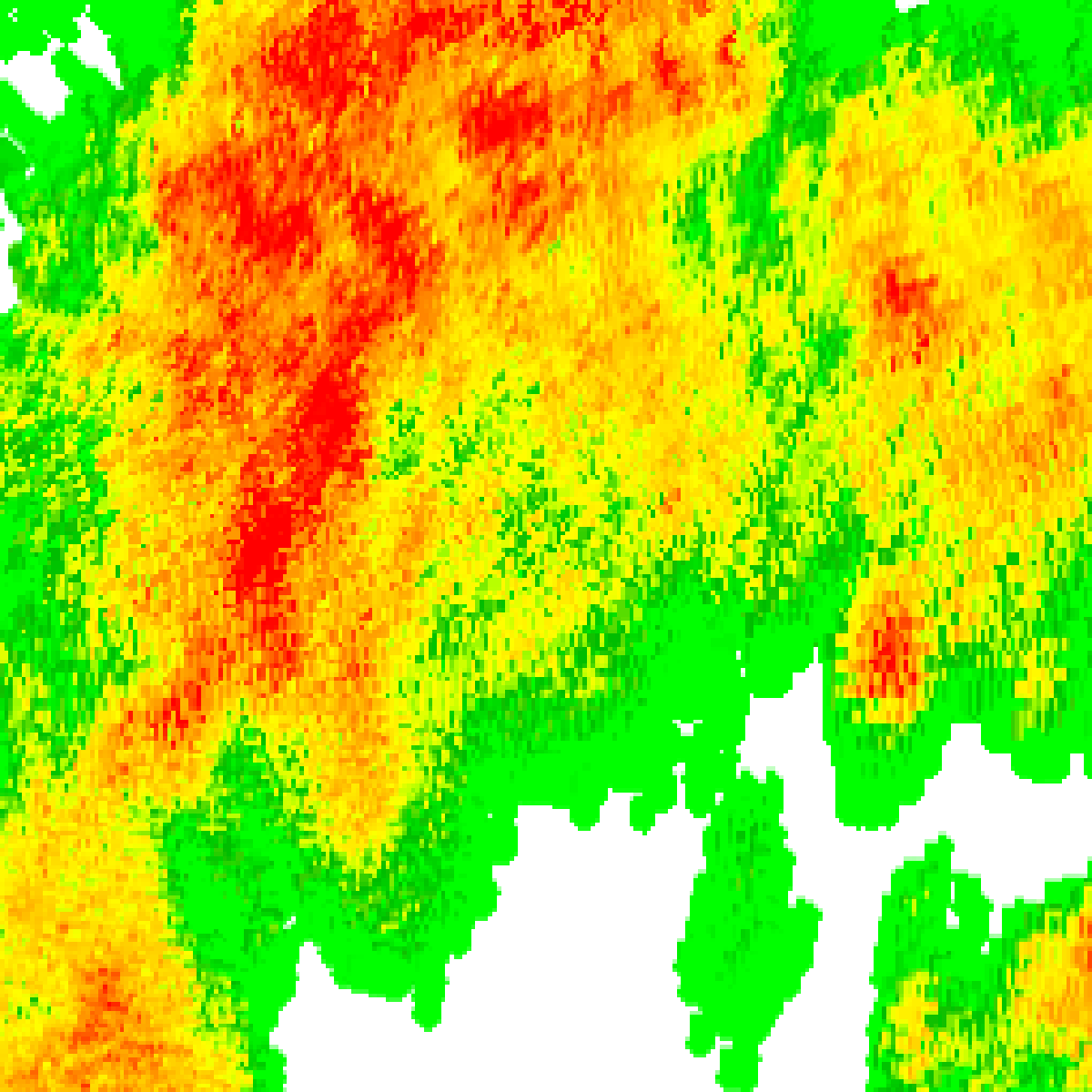
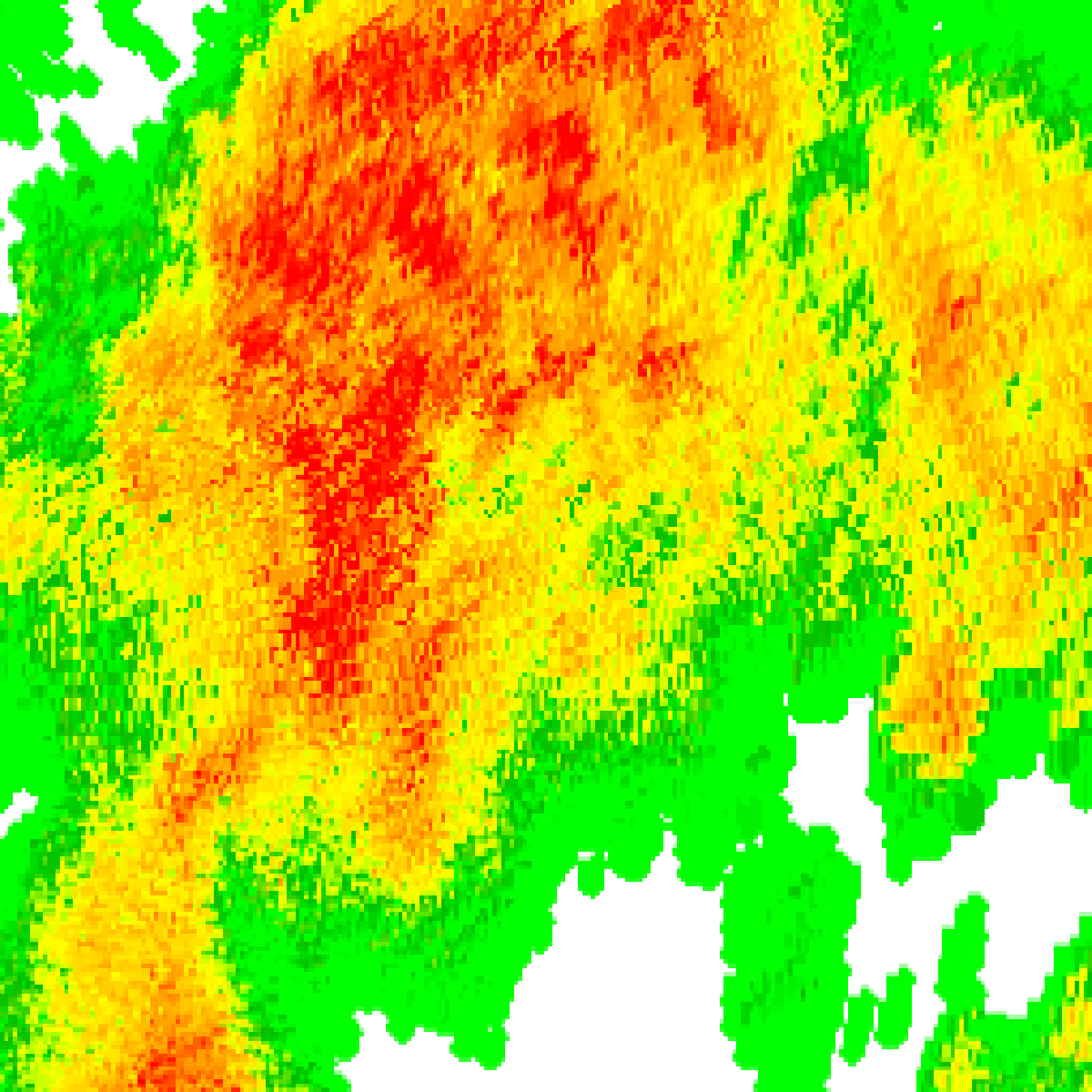
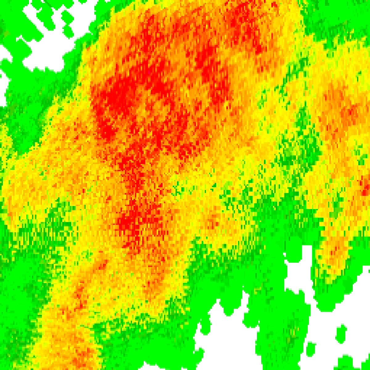
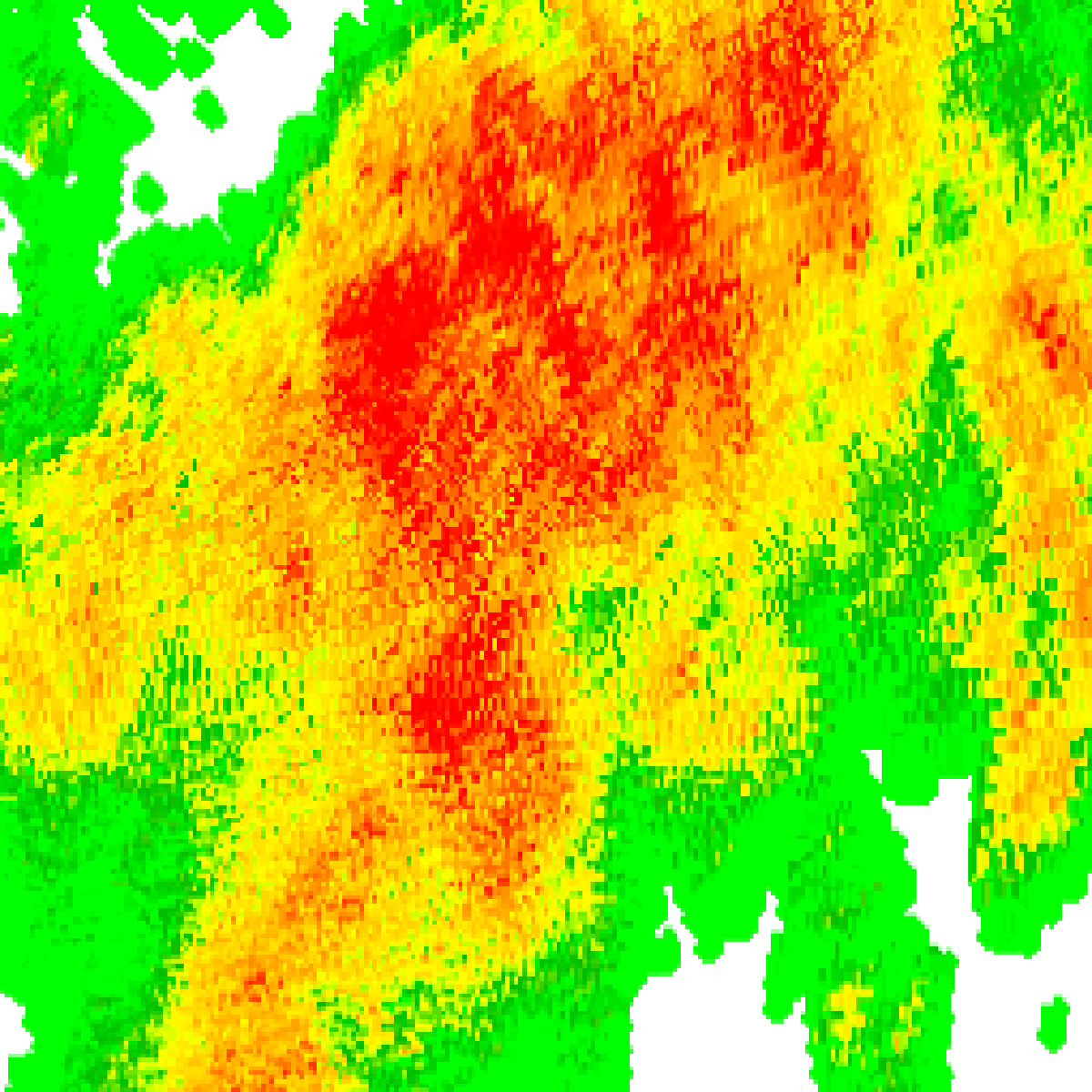
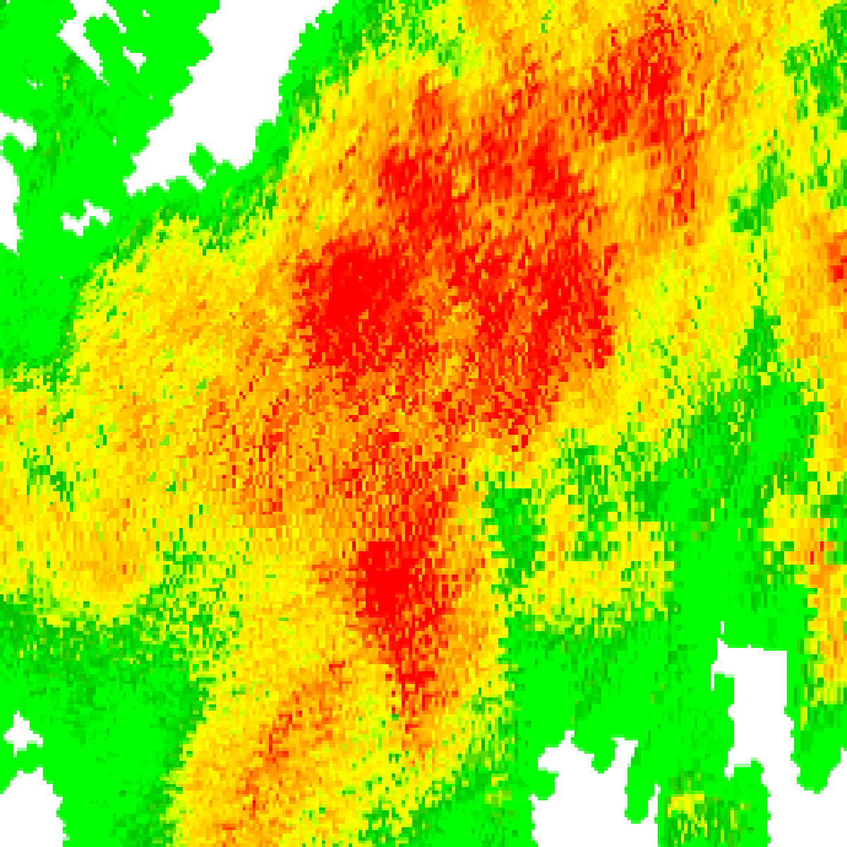
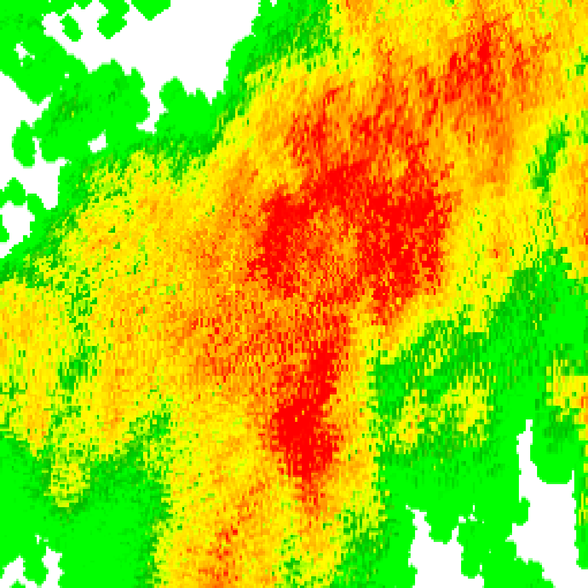
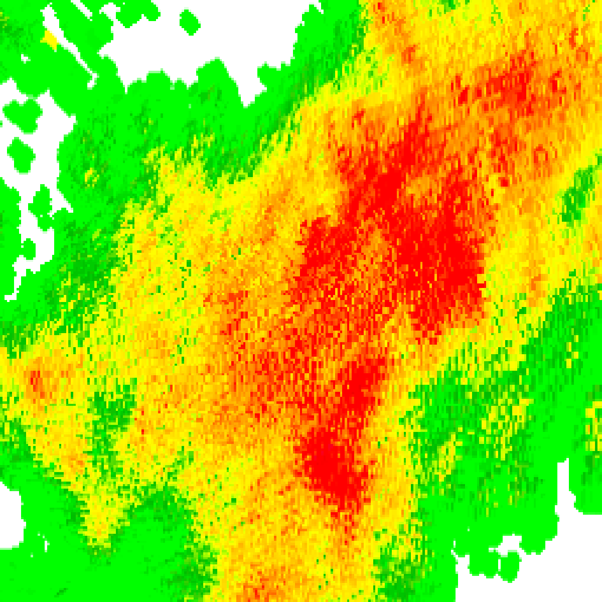
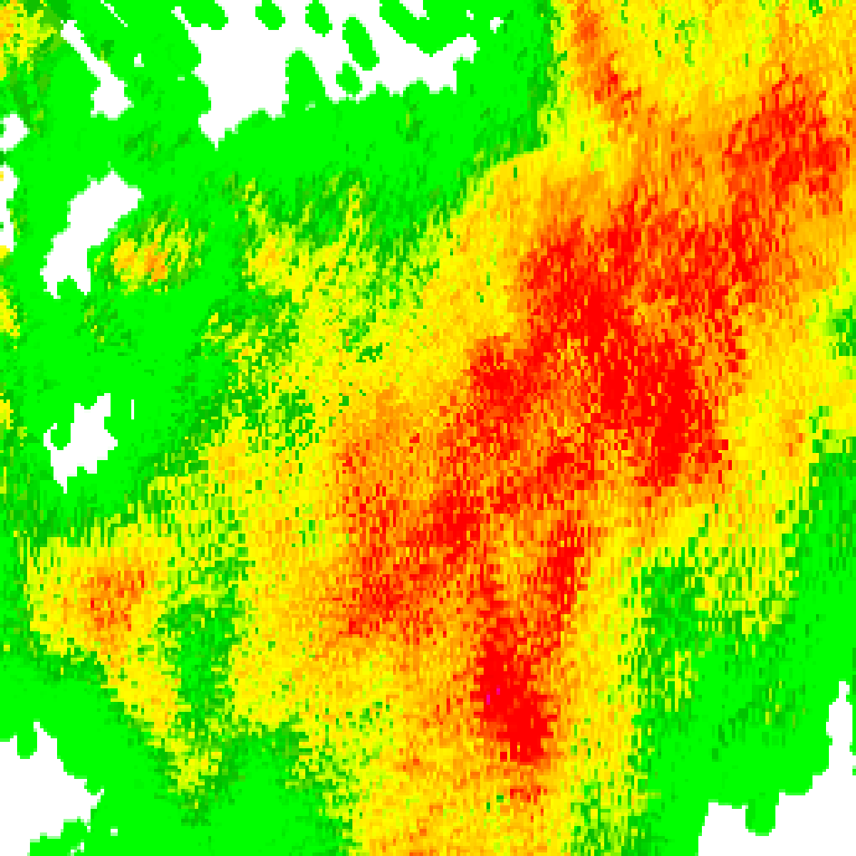
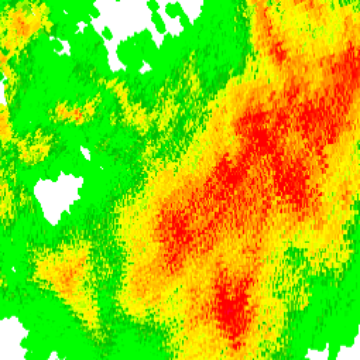
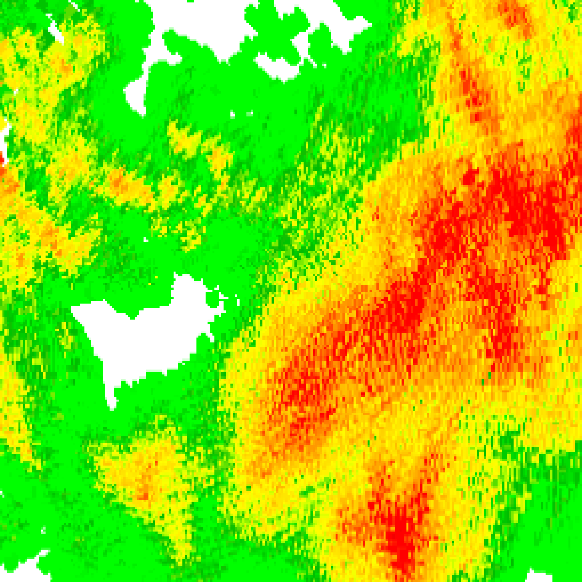
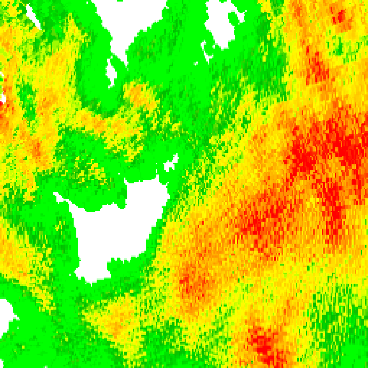
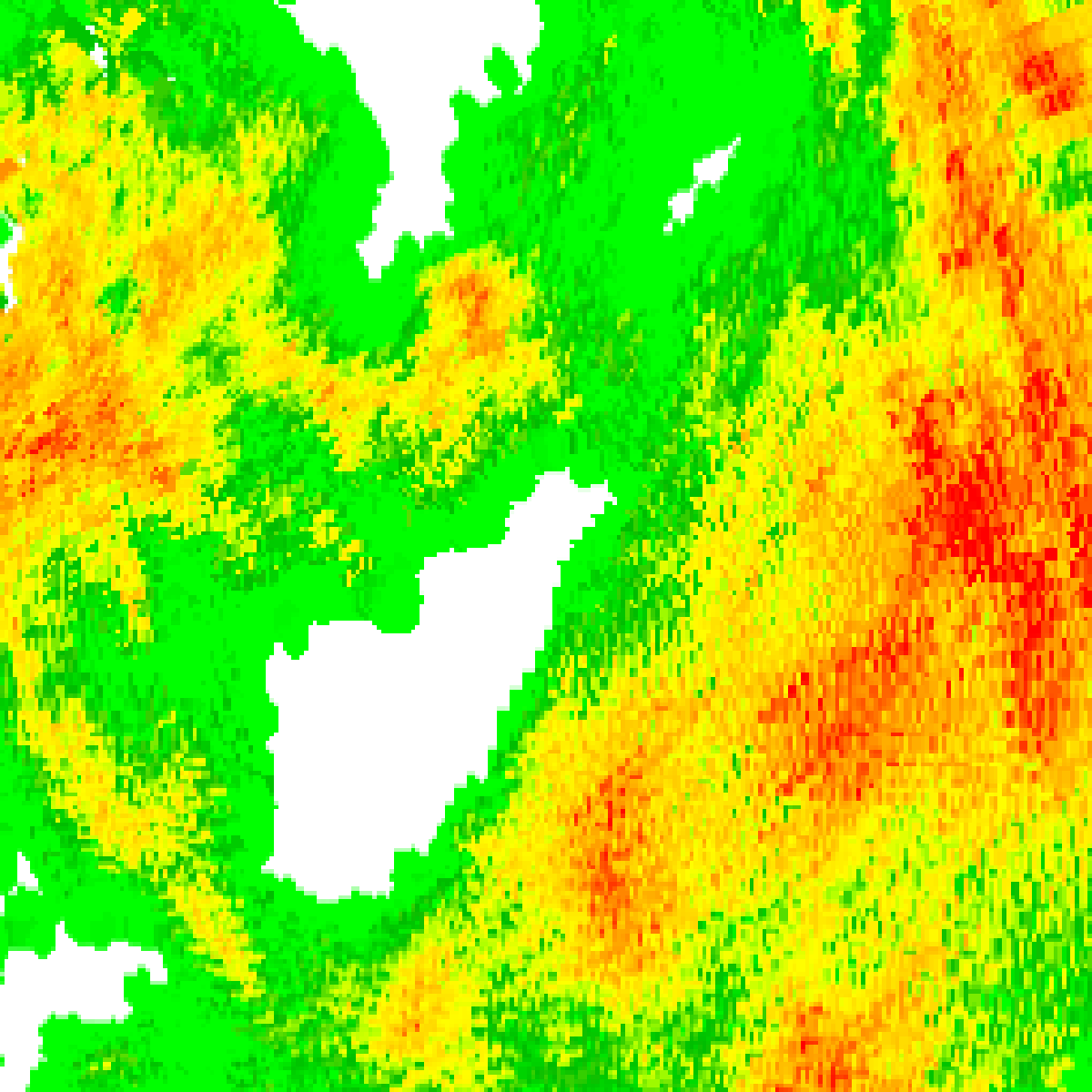
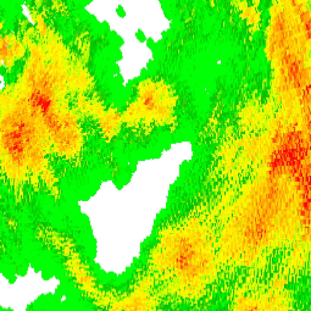
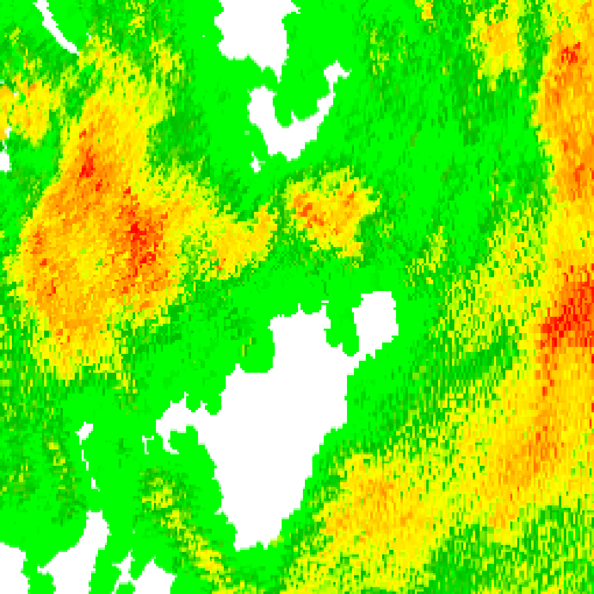
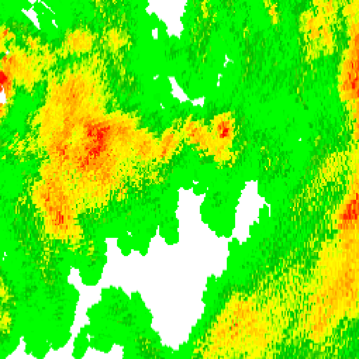
Friday 2 October: Bureau radar loop, Canberra (Captains Flat), 40 km around Ulladulla · 1:00pm AEST – 11:00pm AEST · Radar data: Bureau of Meteorology, © Commonwealth of Australia, CC BY 4.0
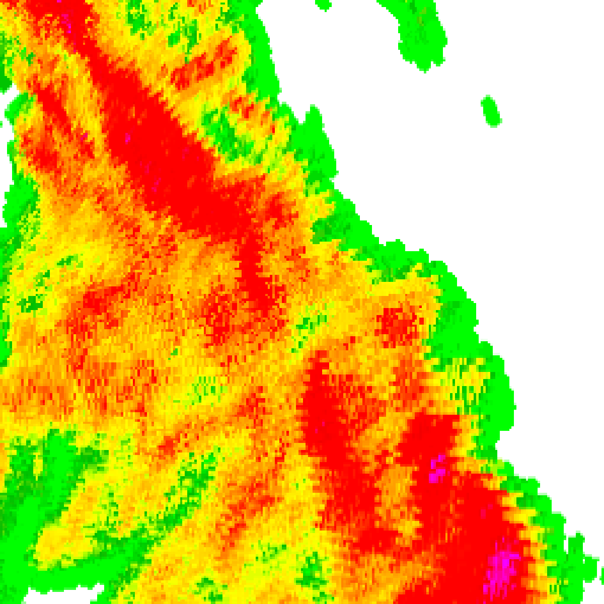
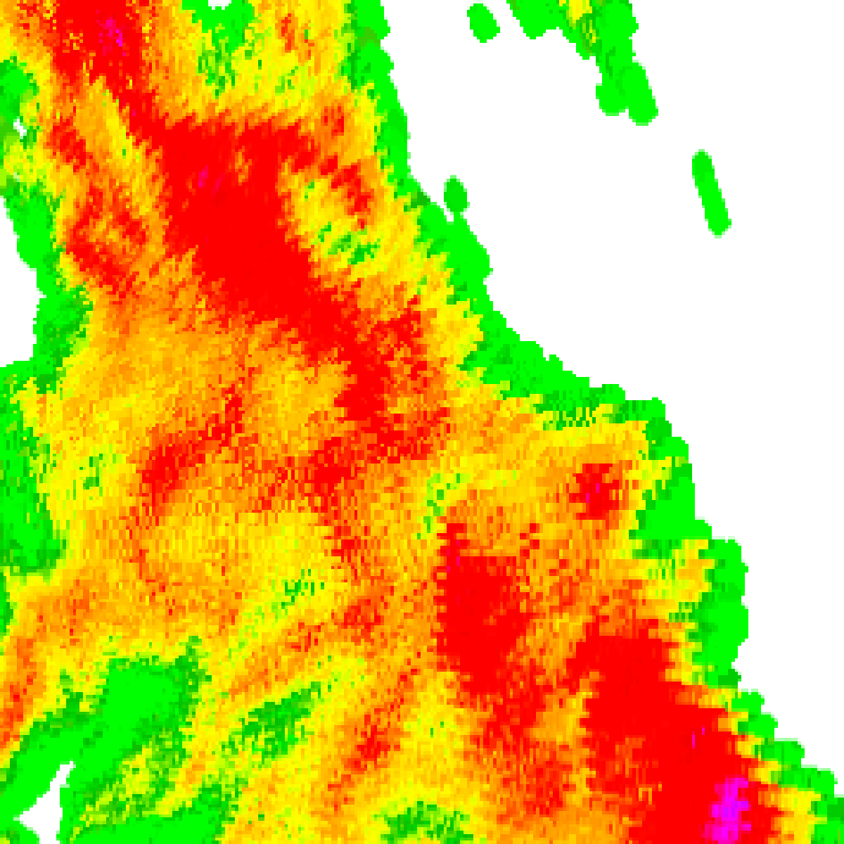
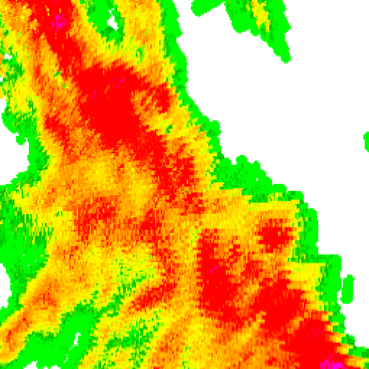
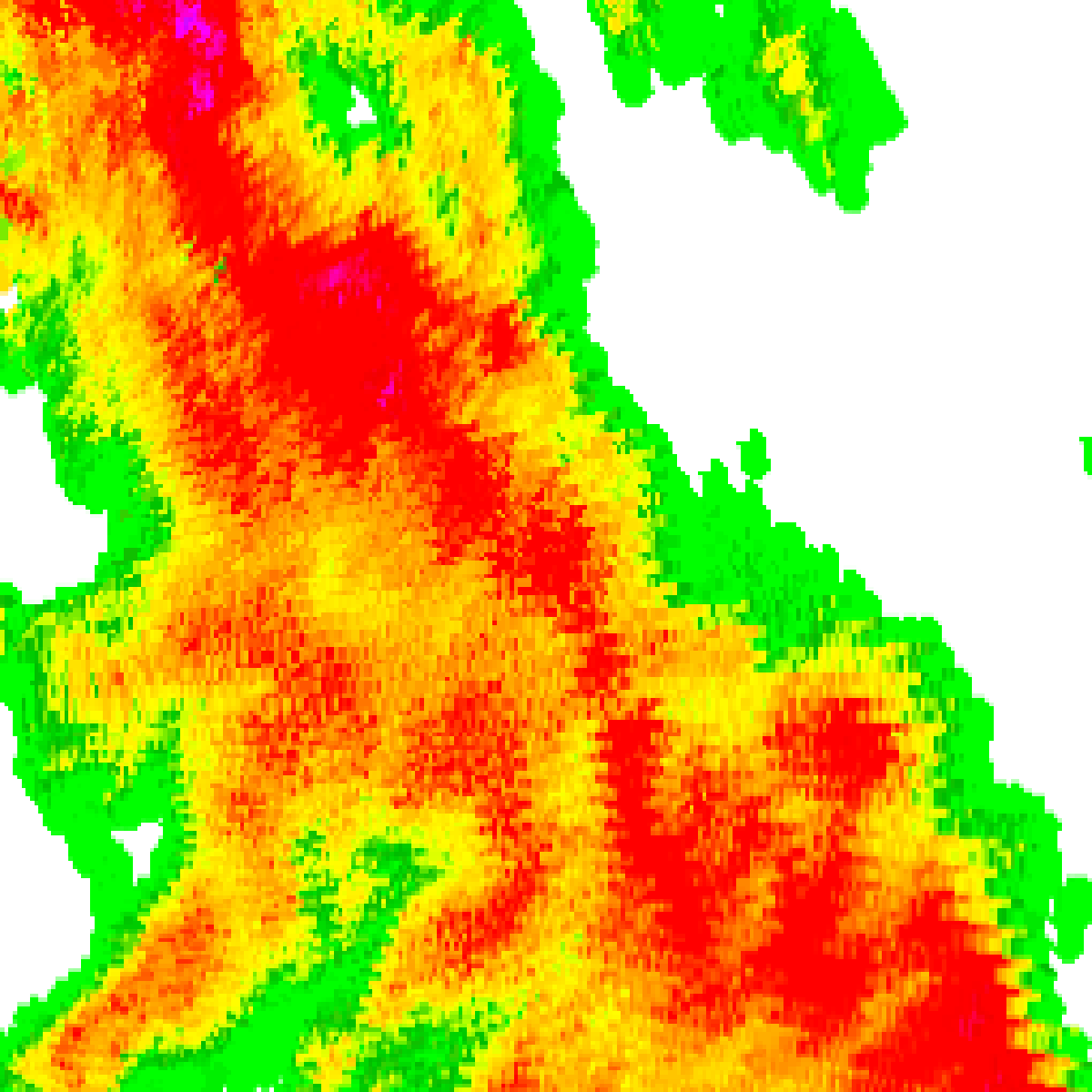
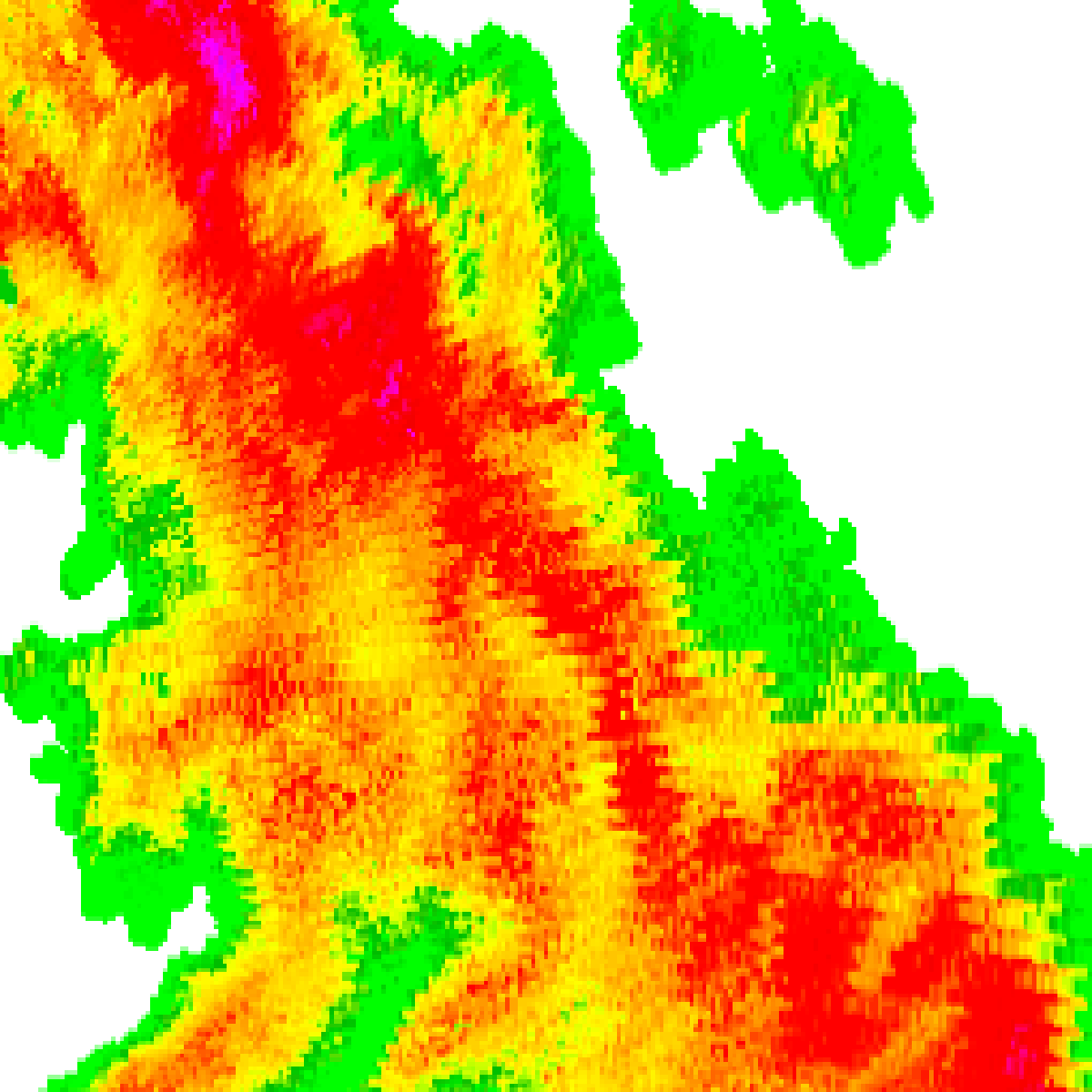
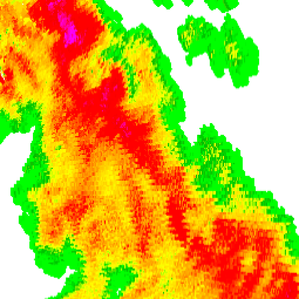
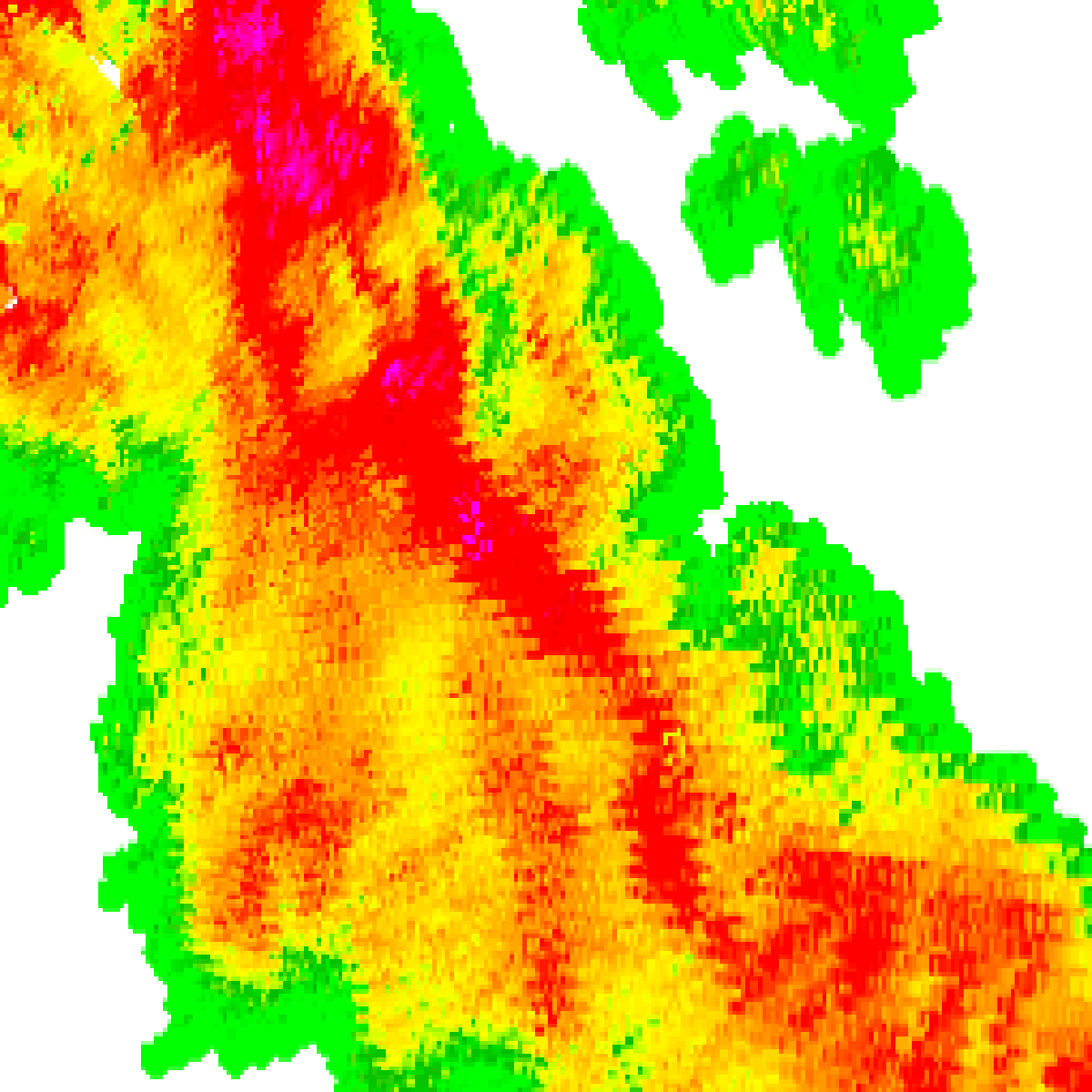
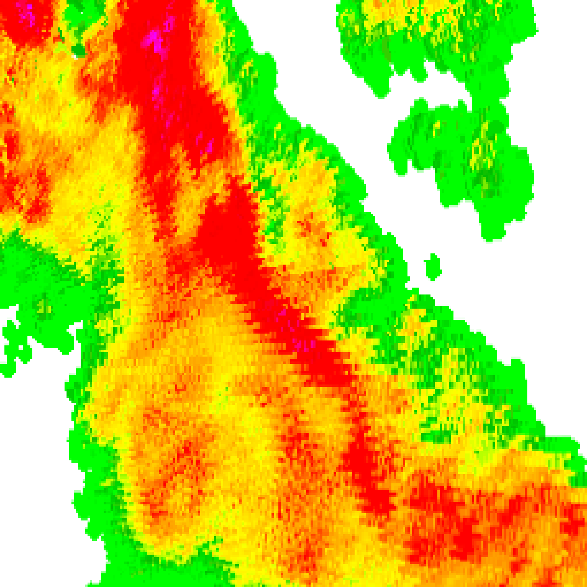
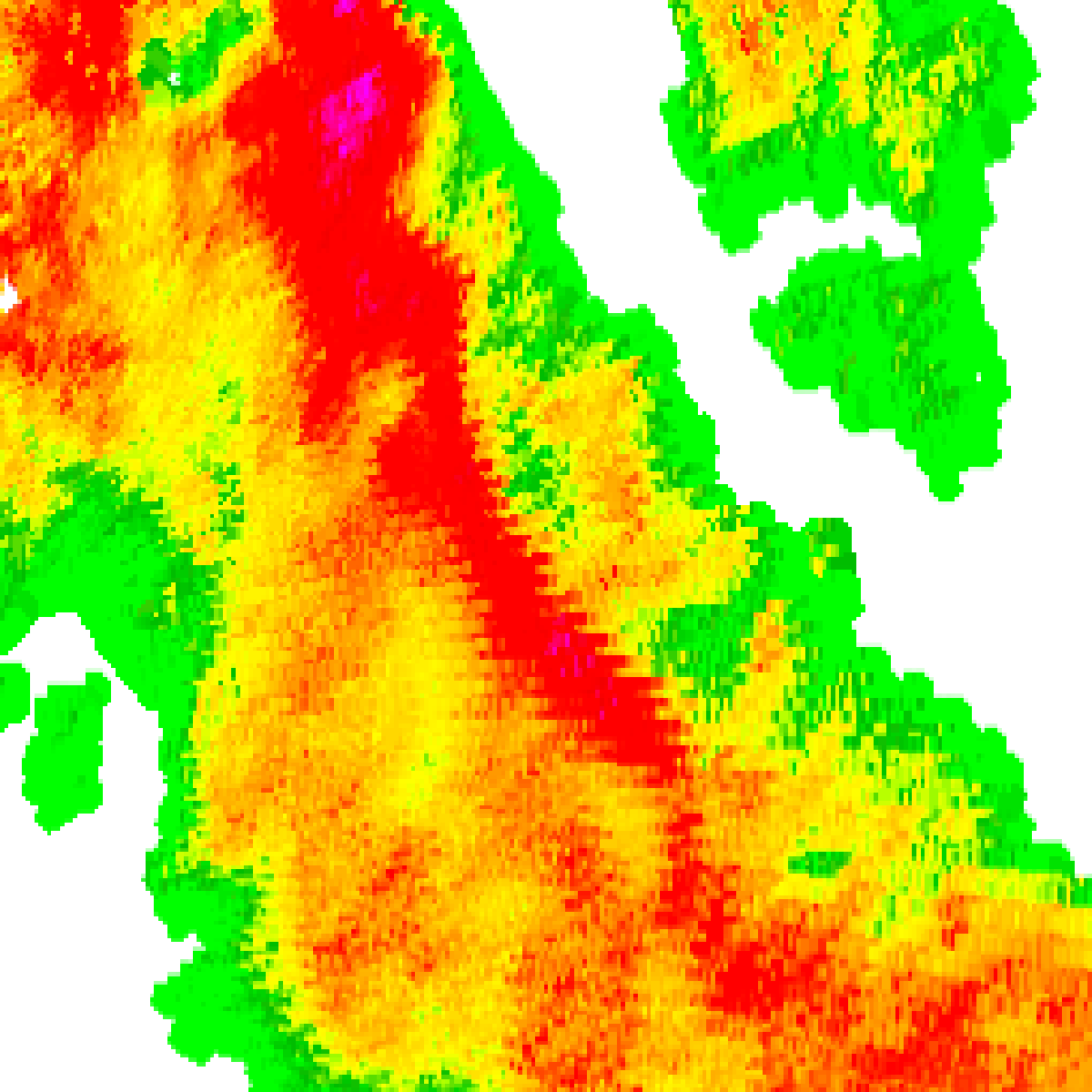
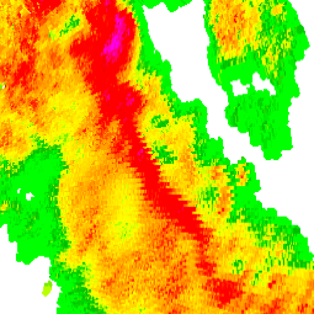
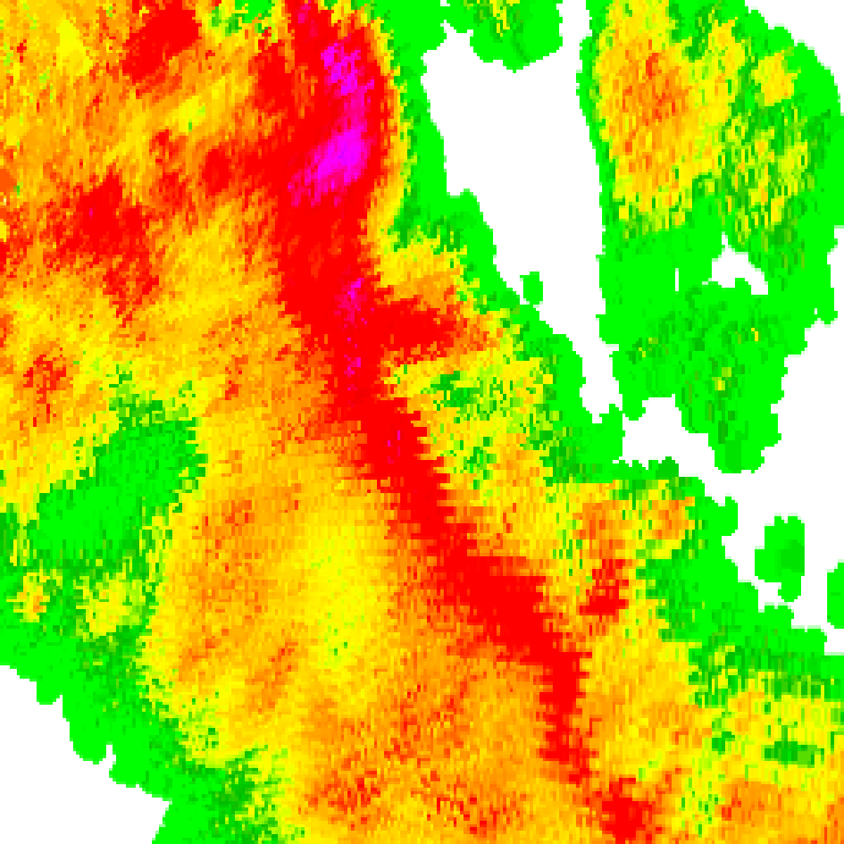
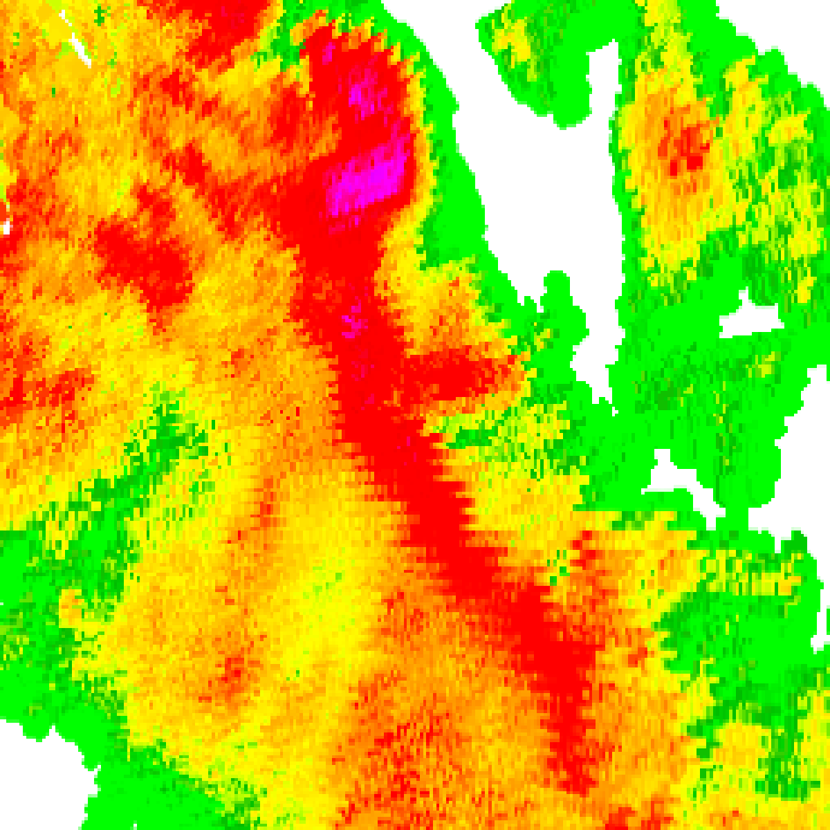
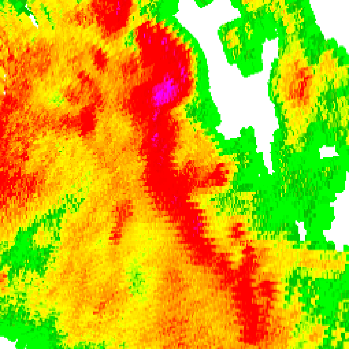
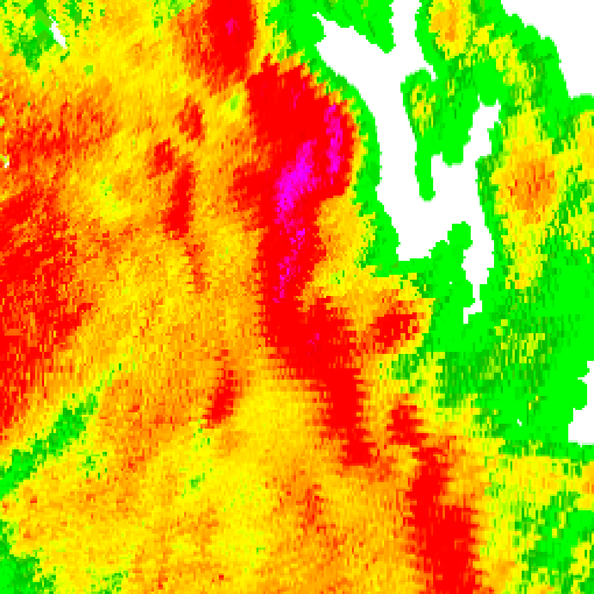
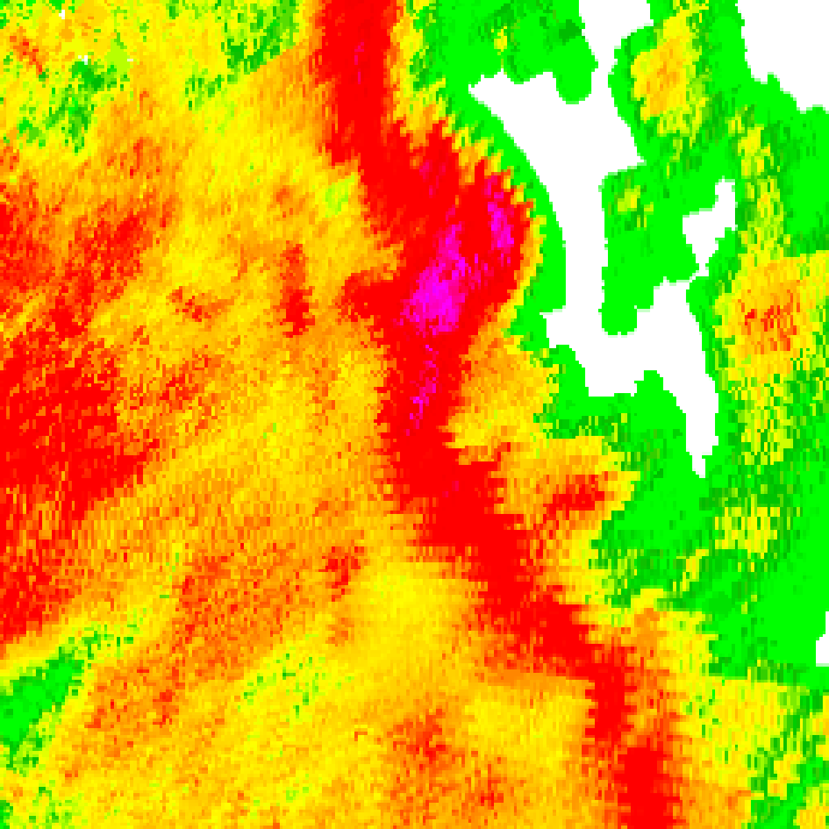
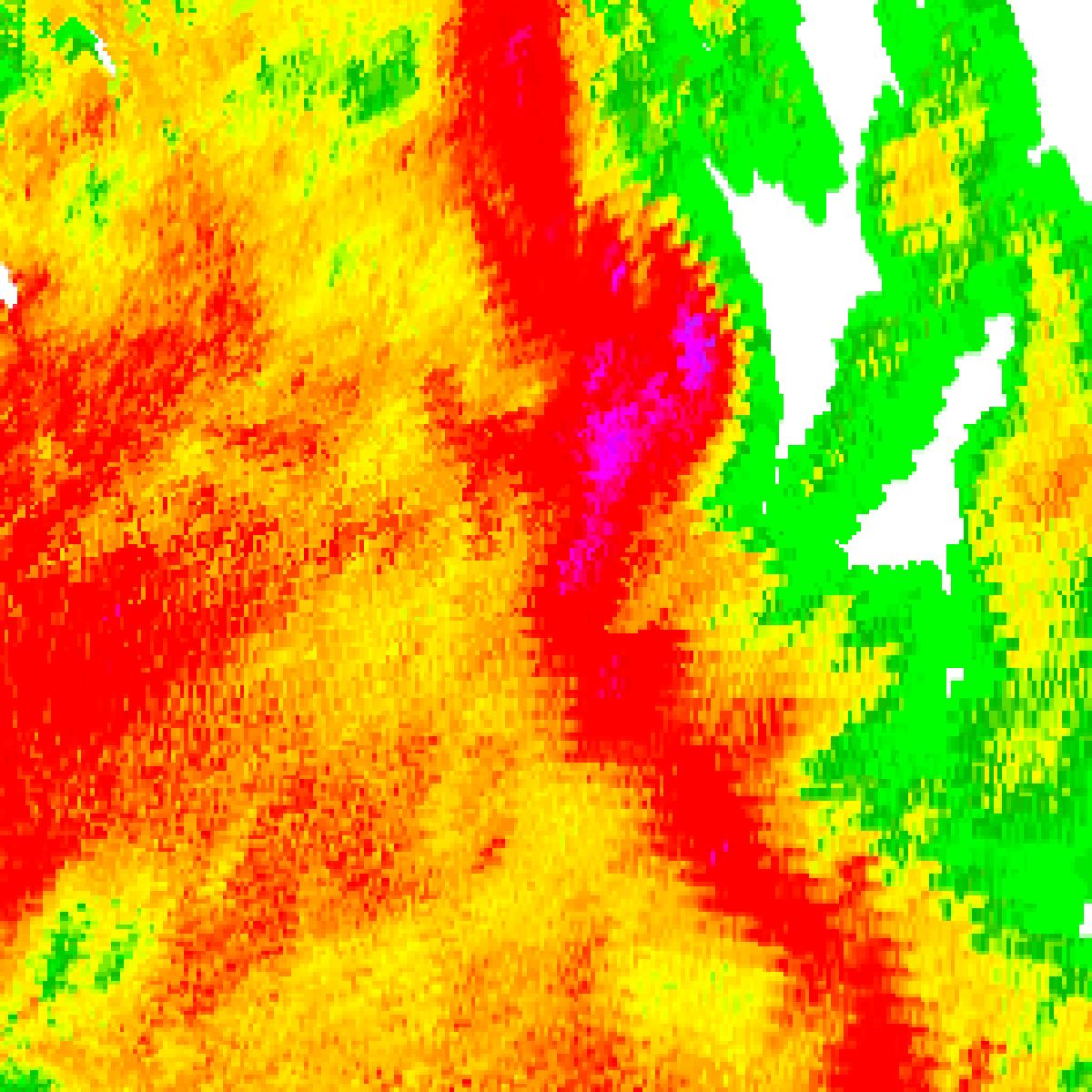
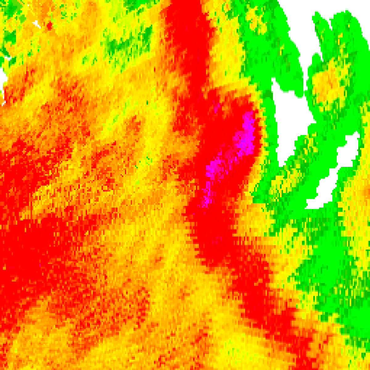
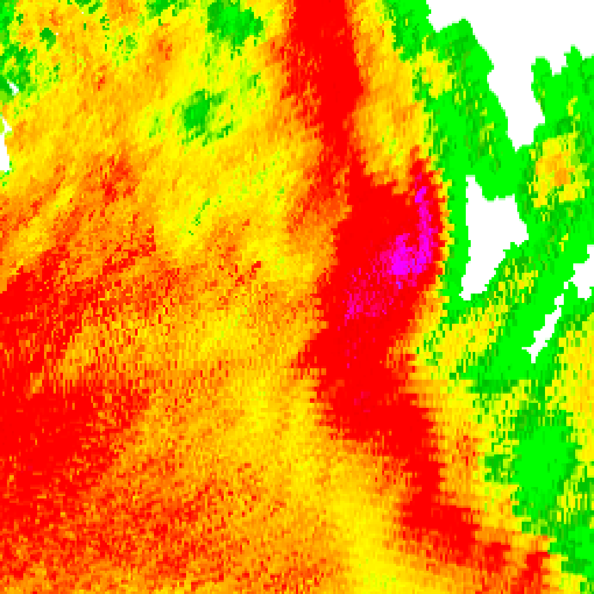
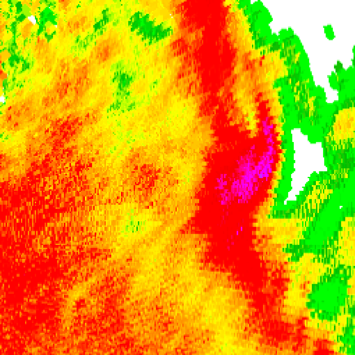
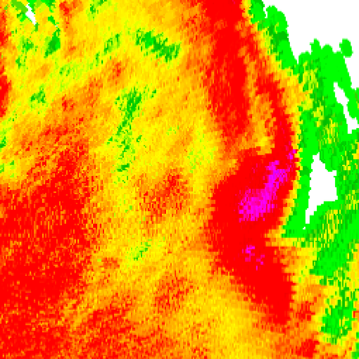
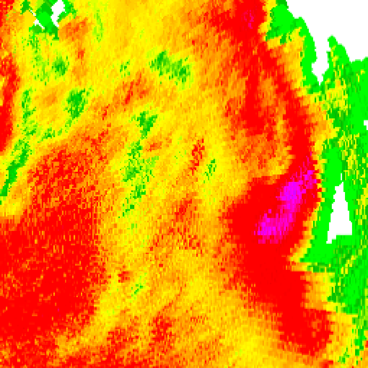
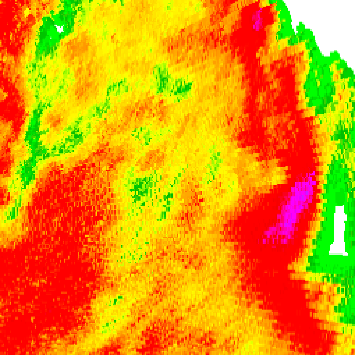
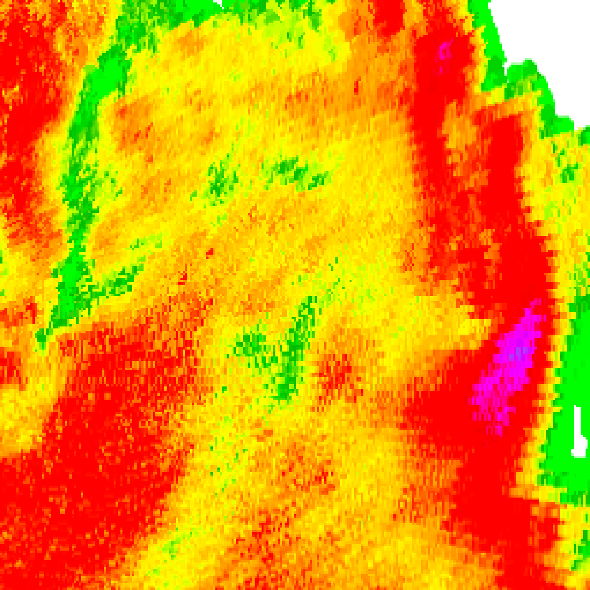
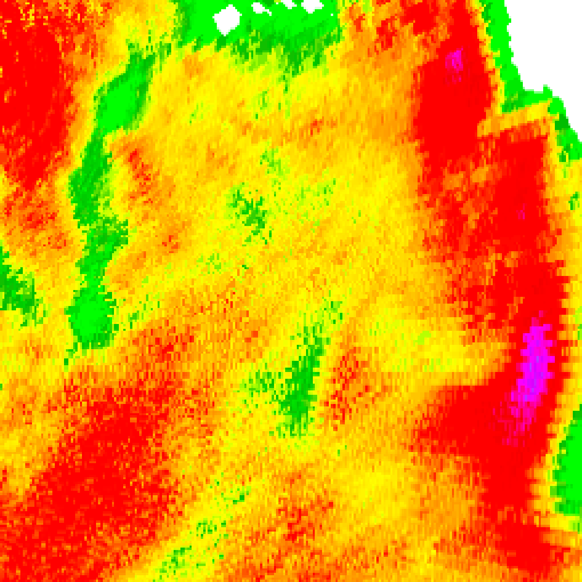
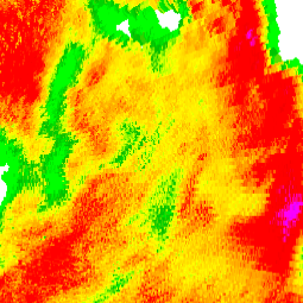
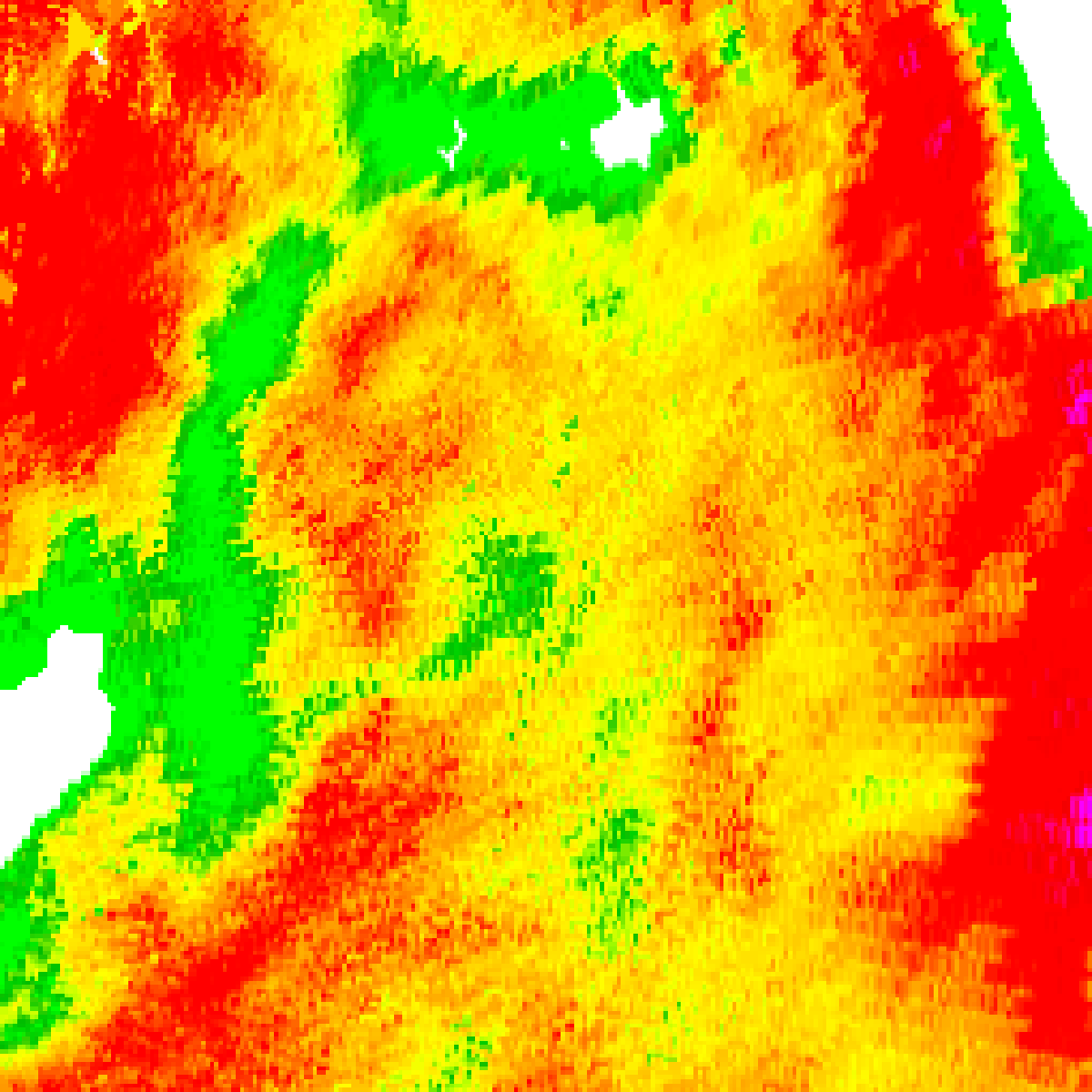
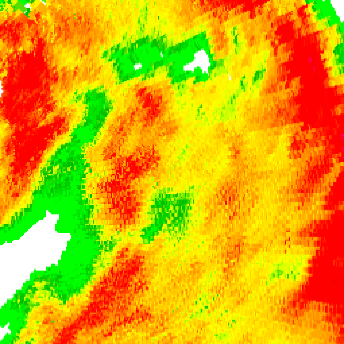
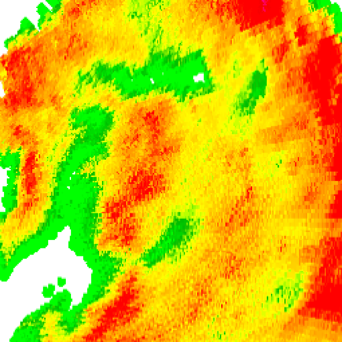
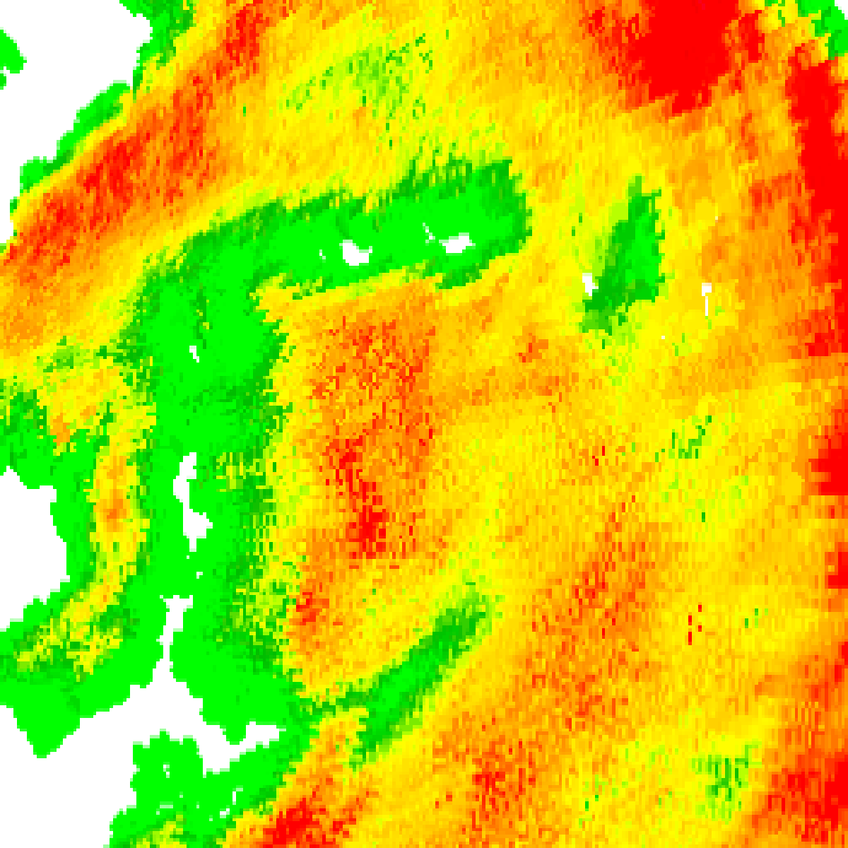
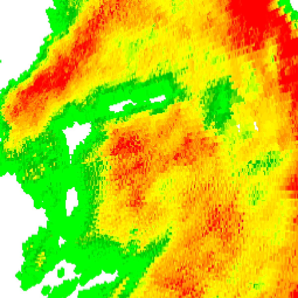
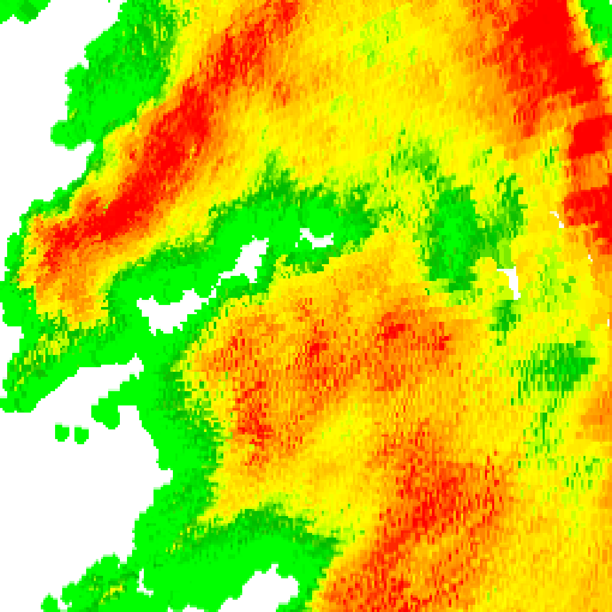
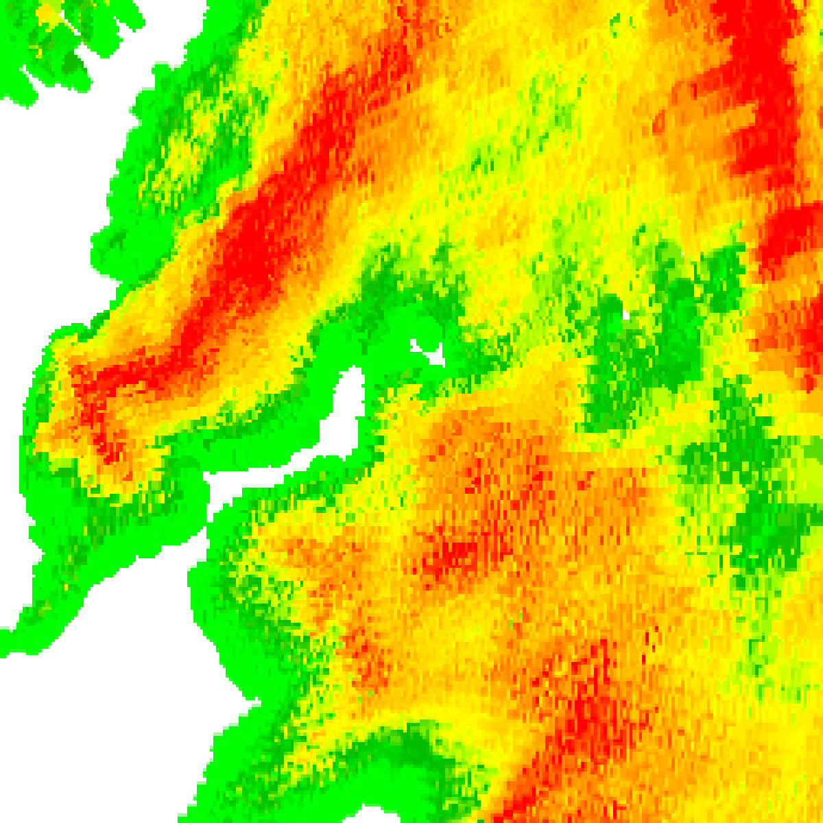
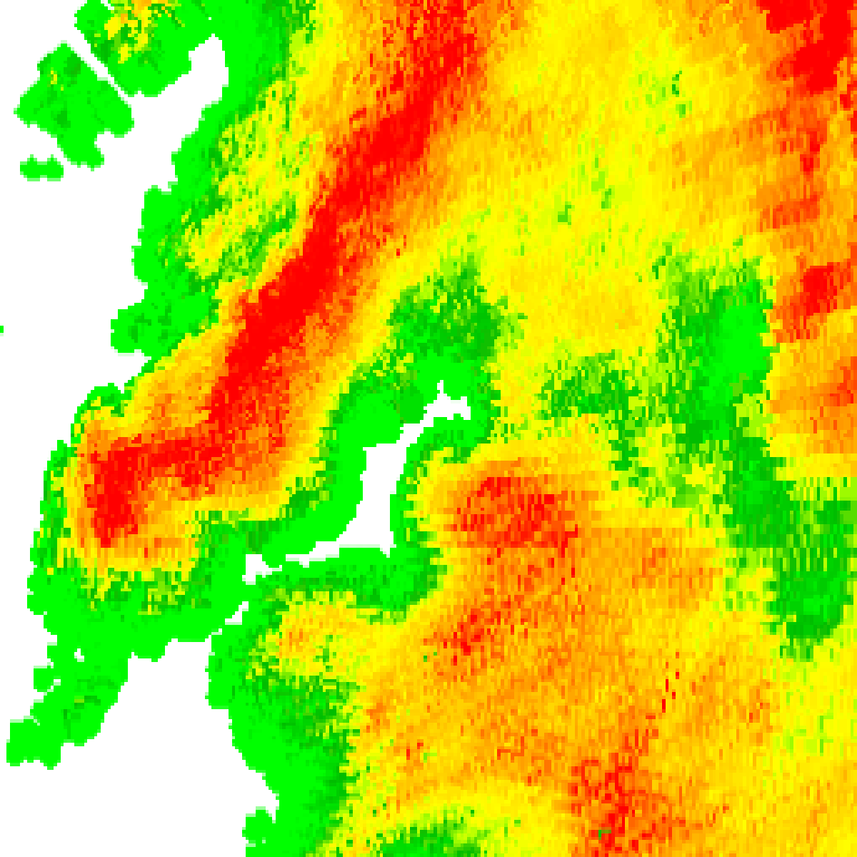
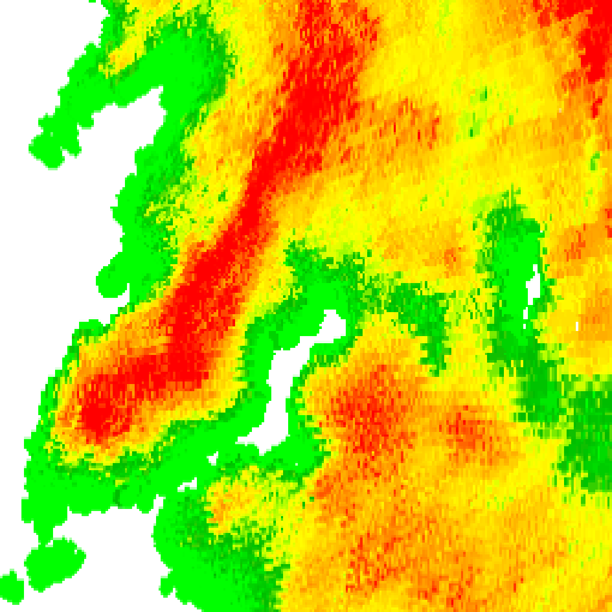
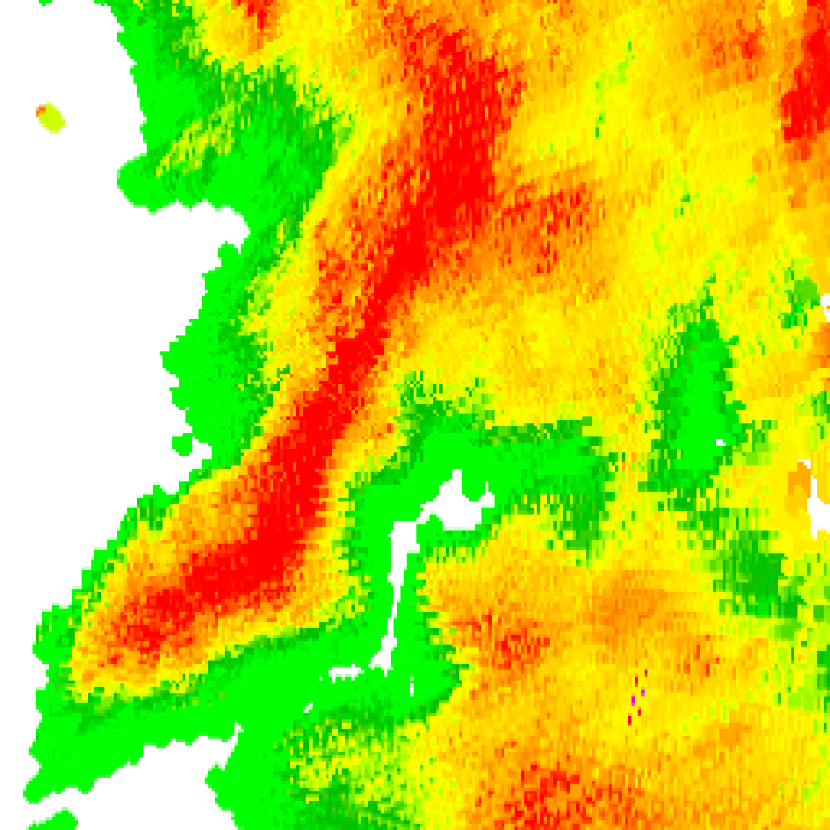
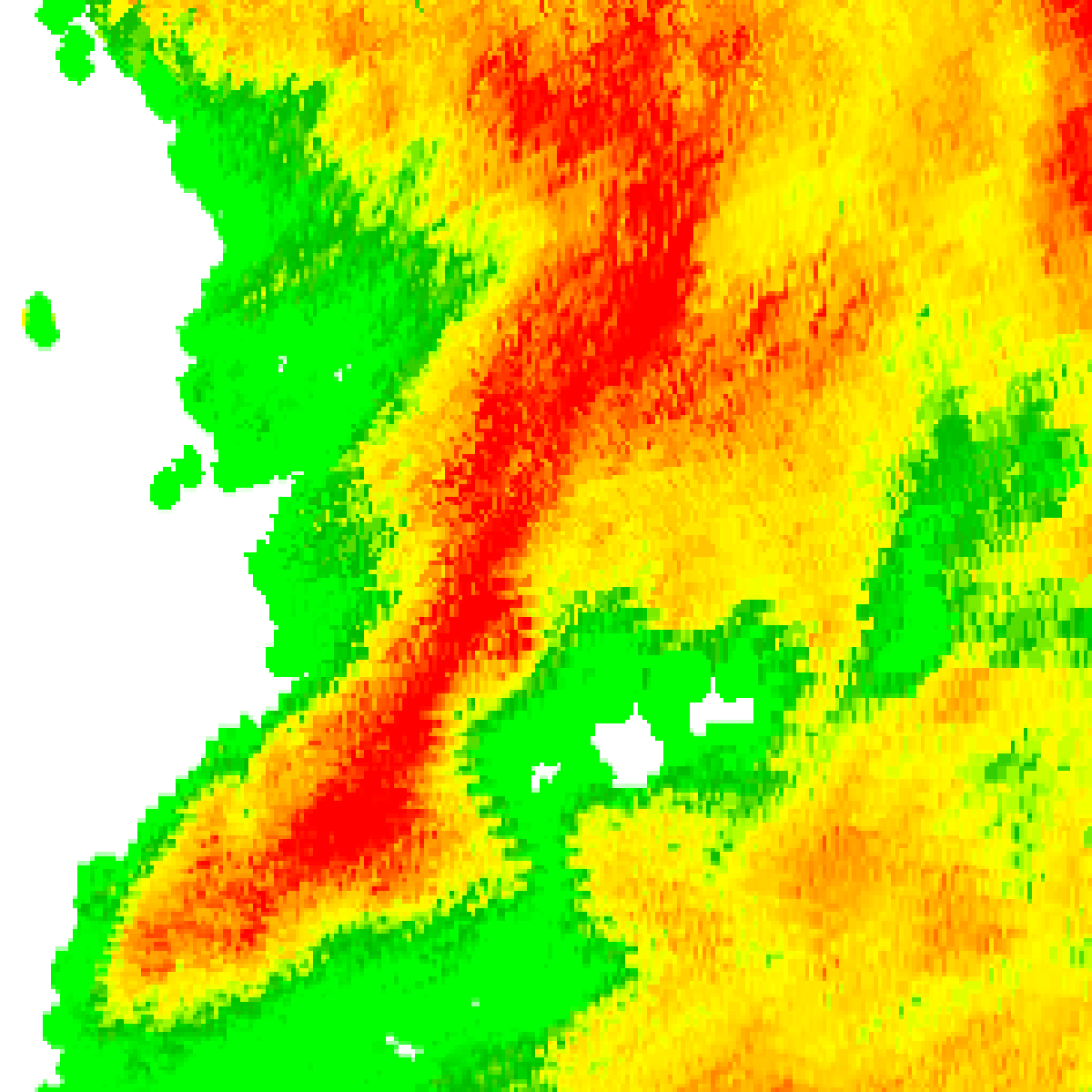
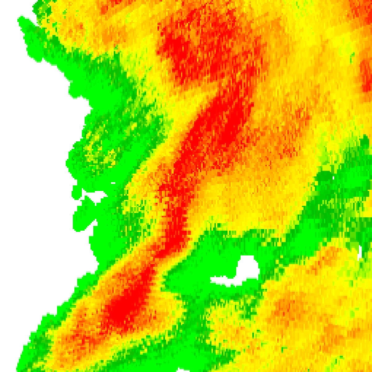
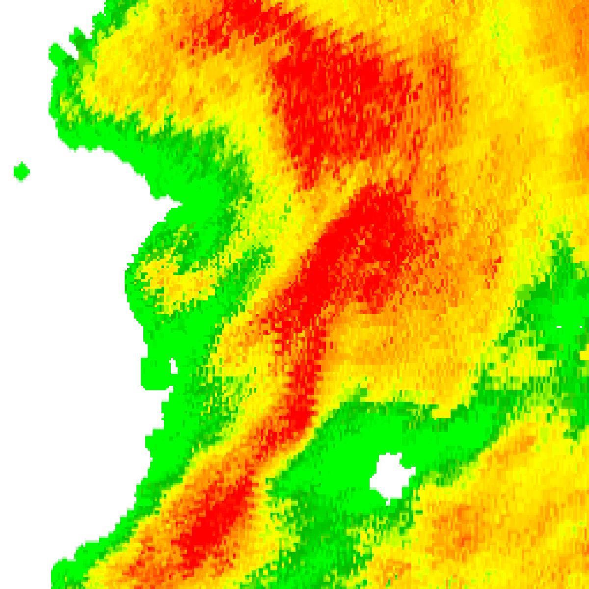
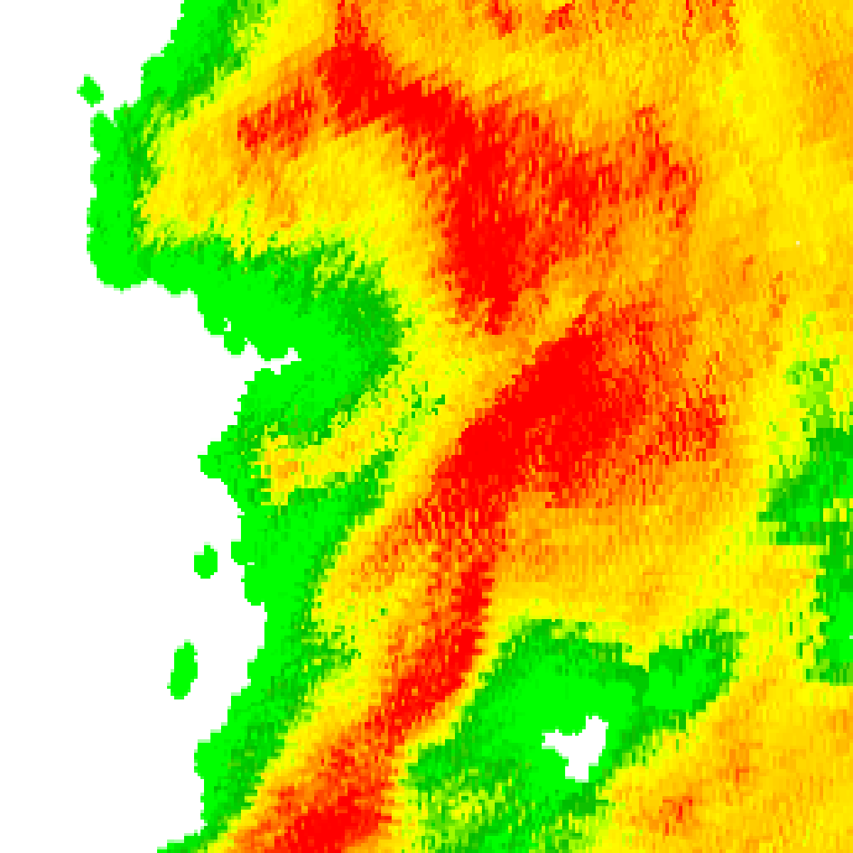
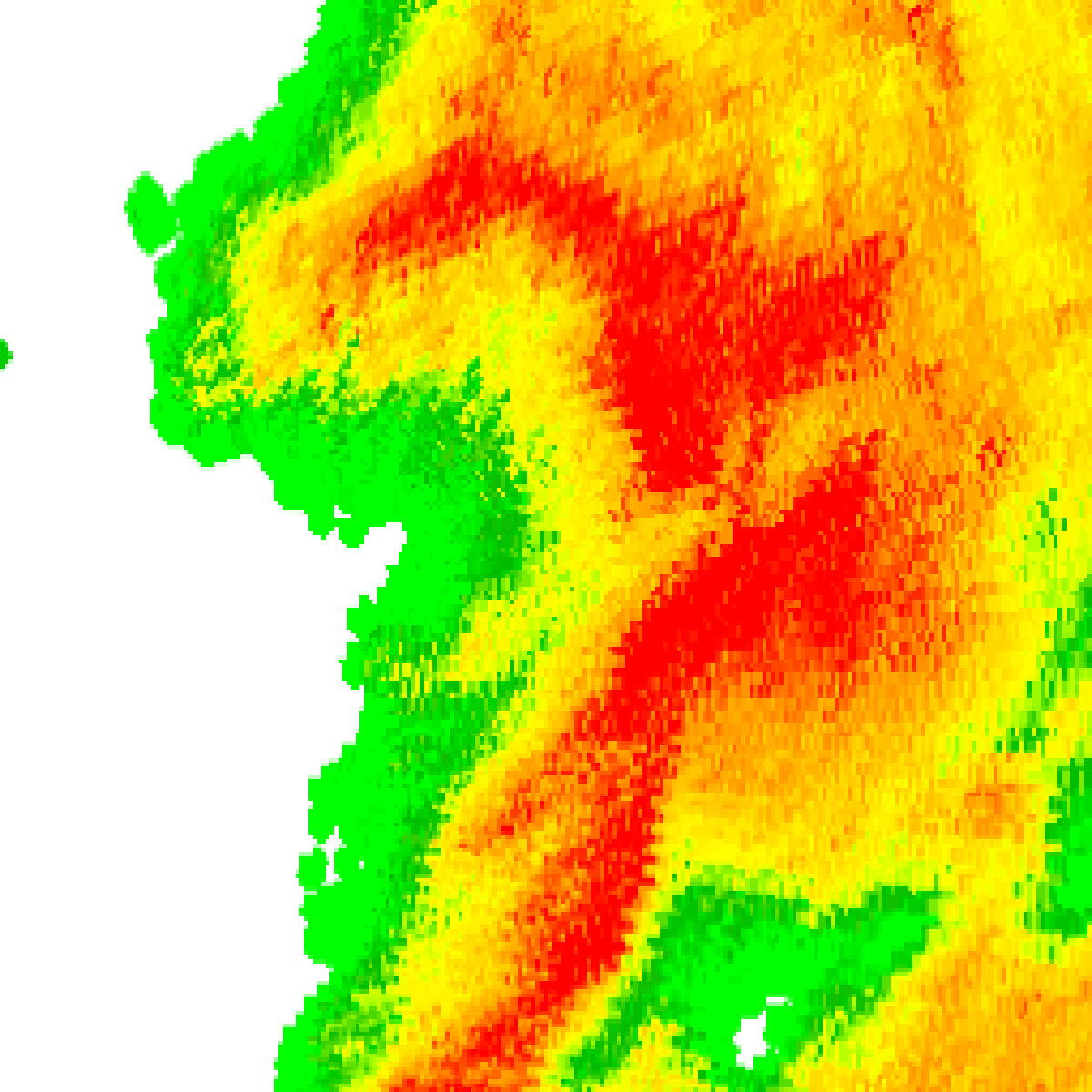
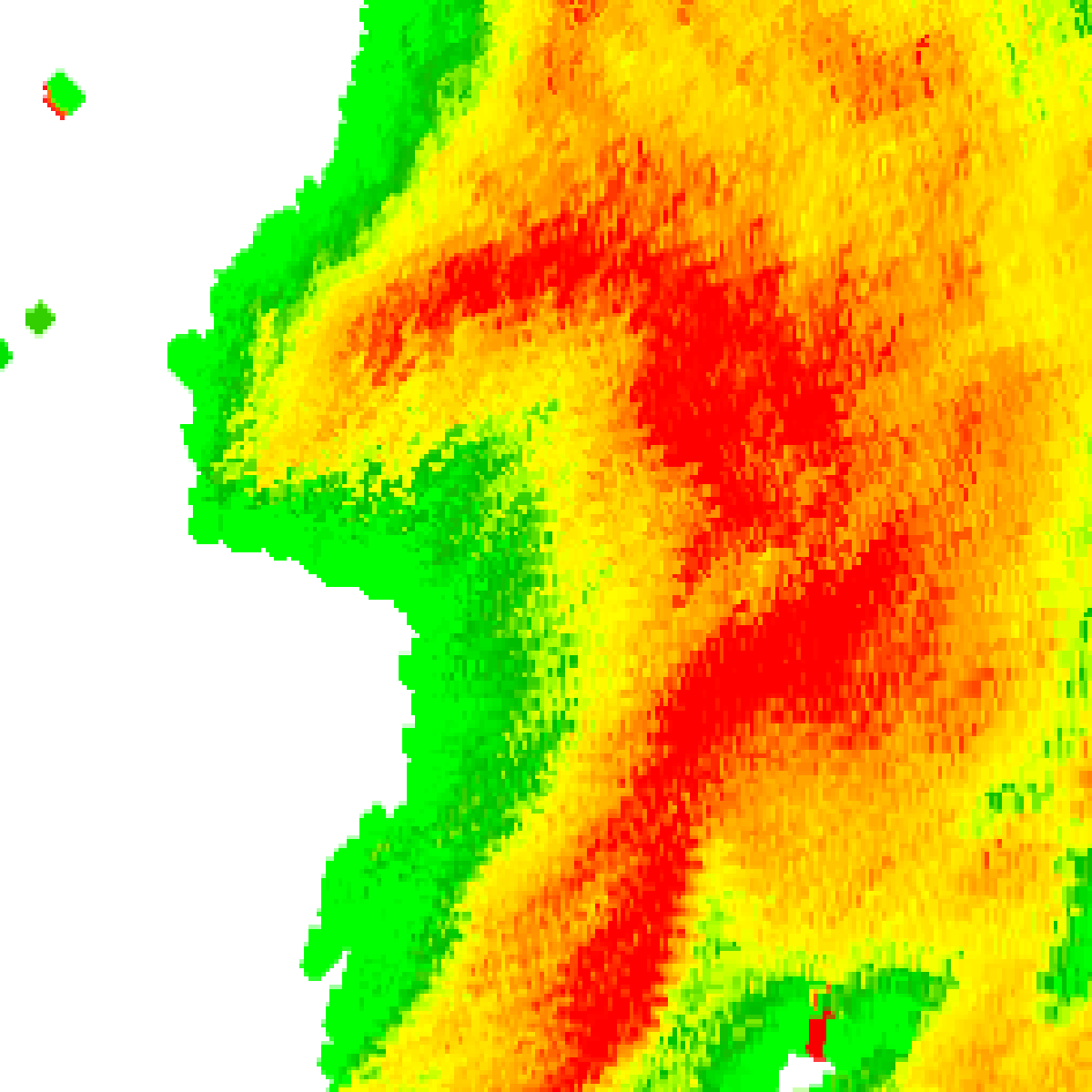
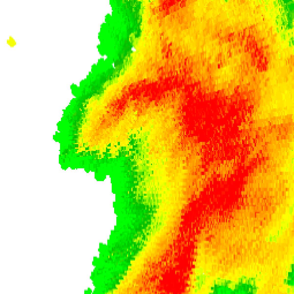
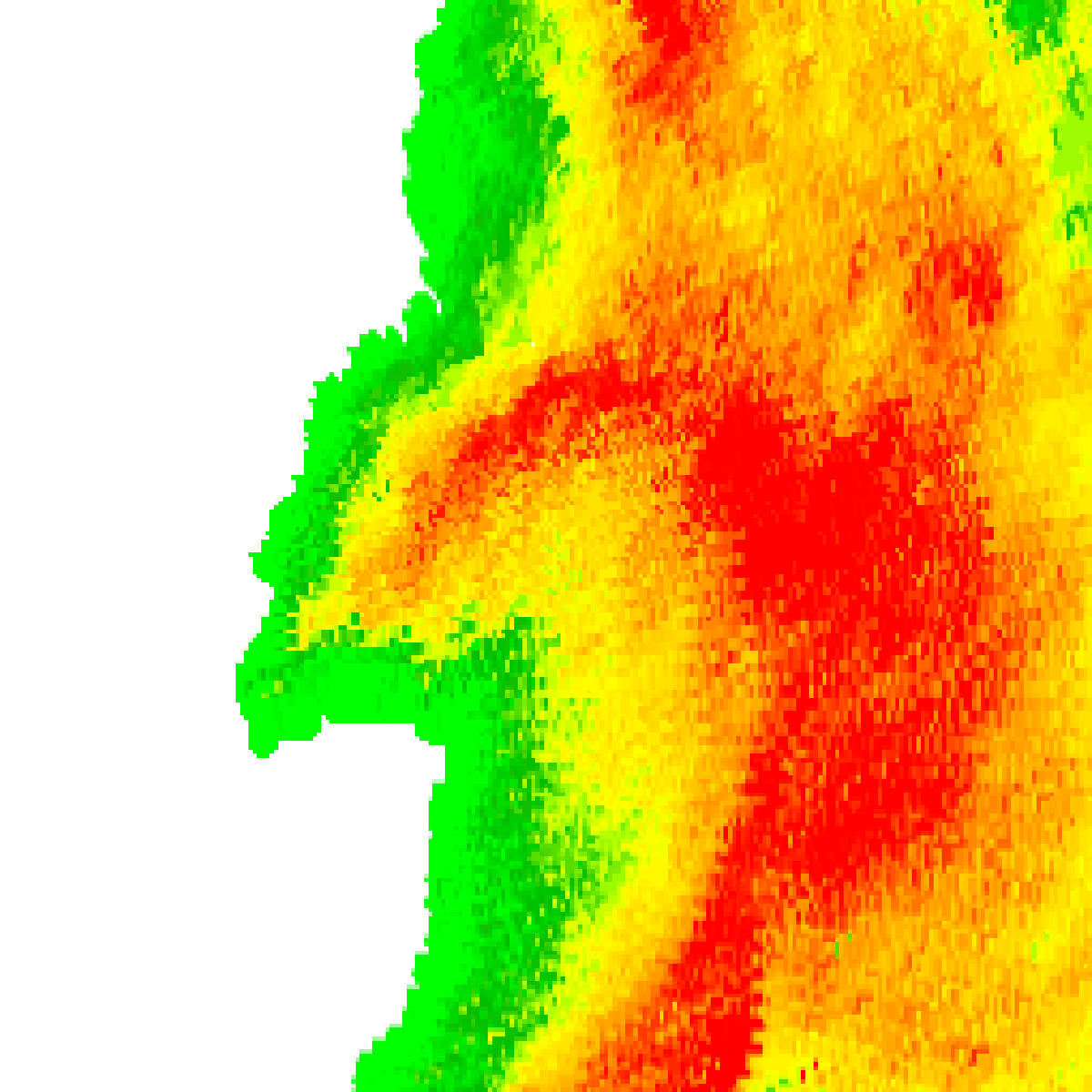
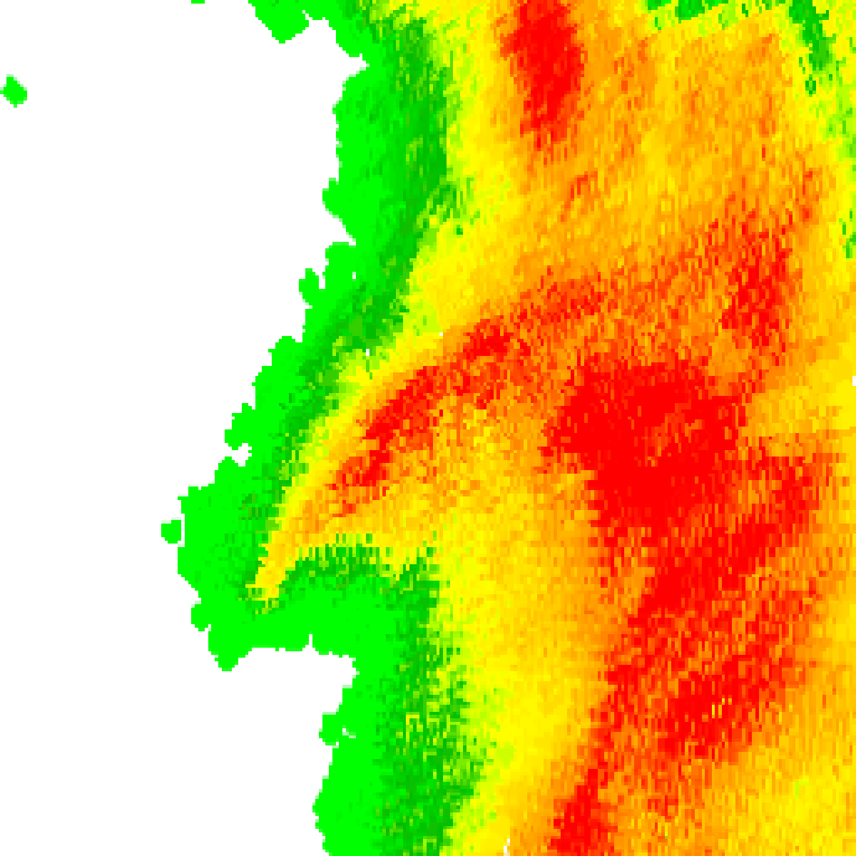
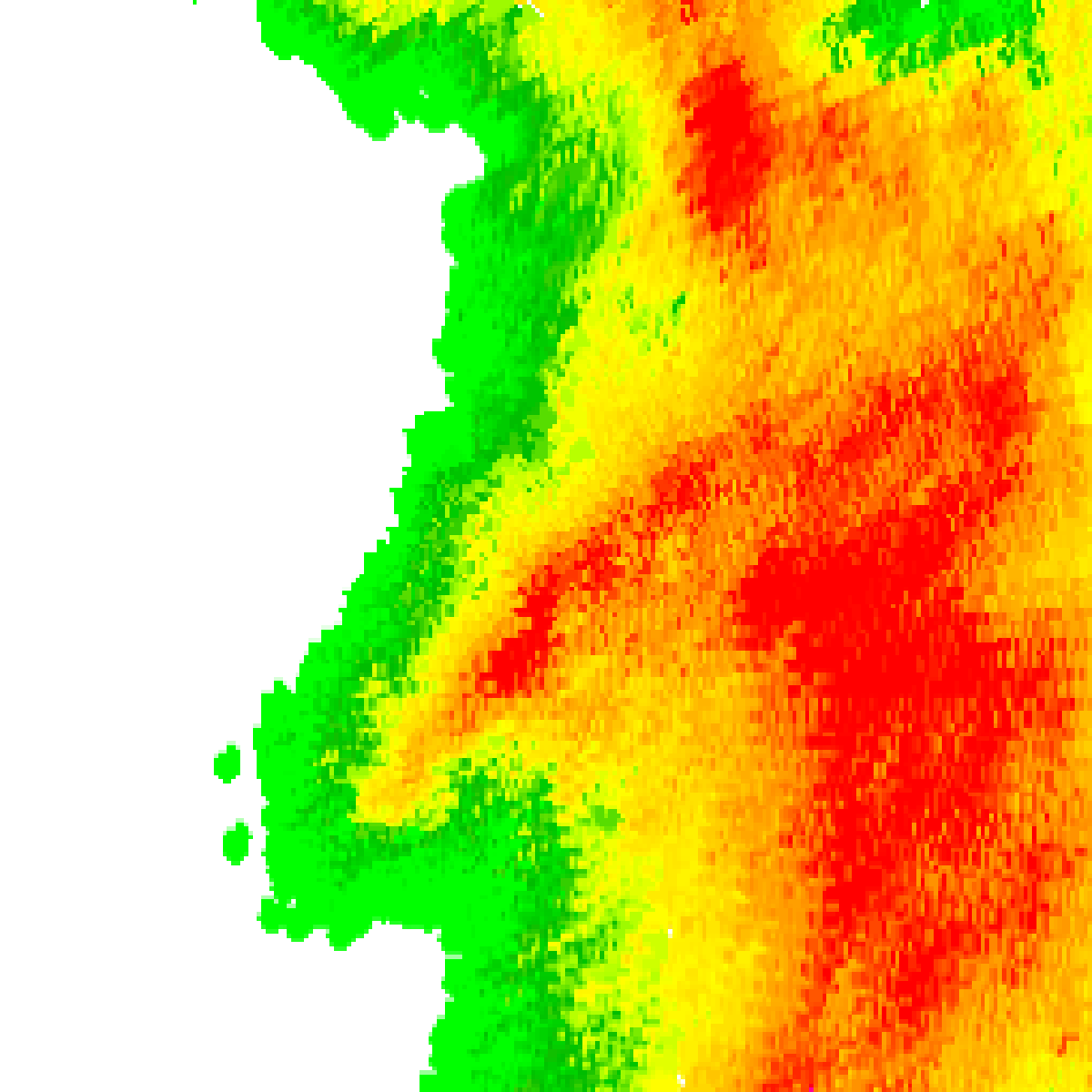
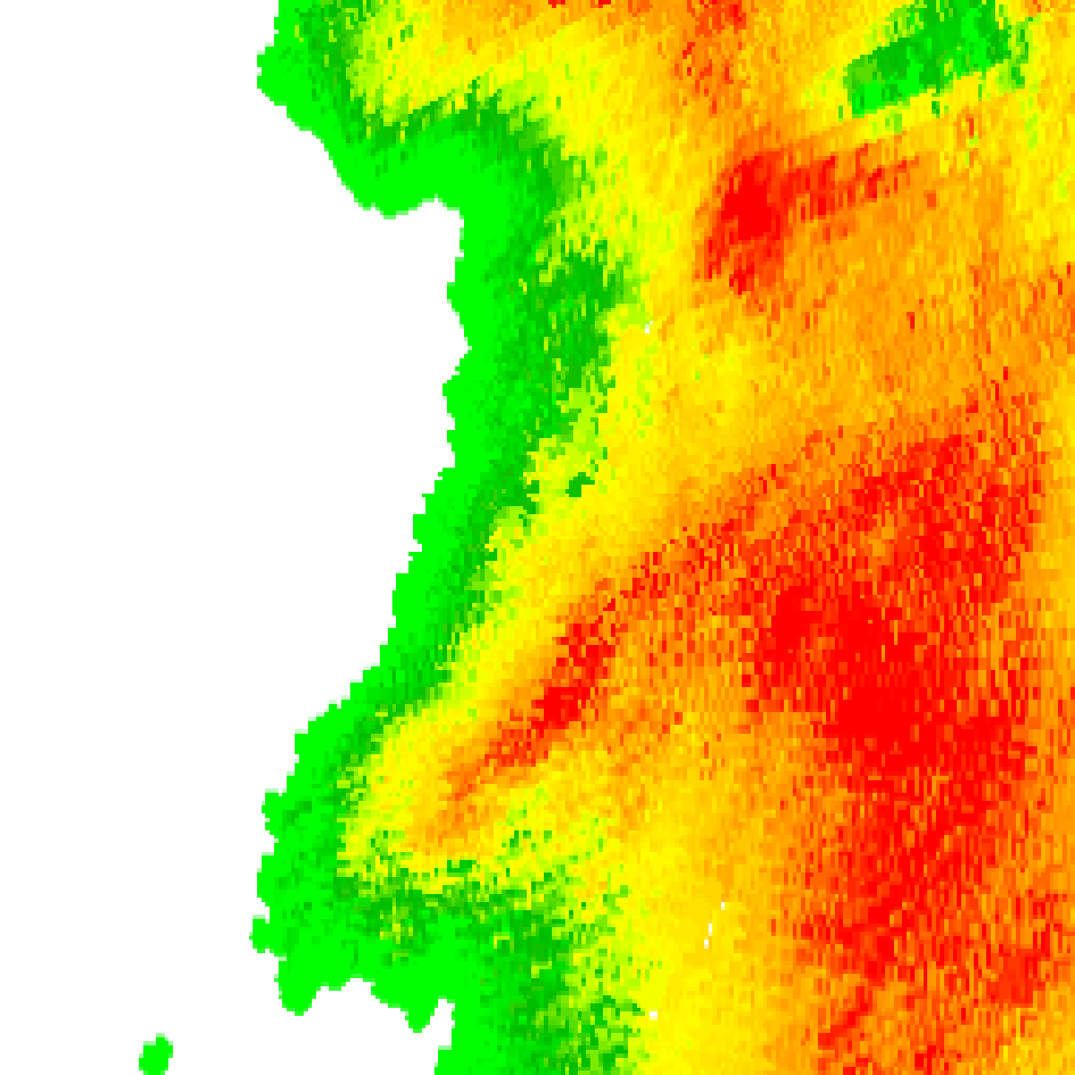
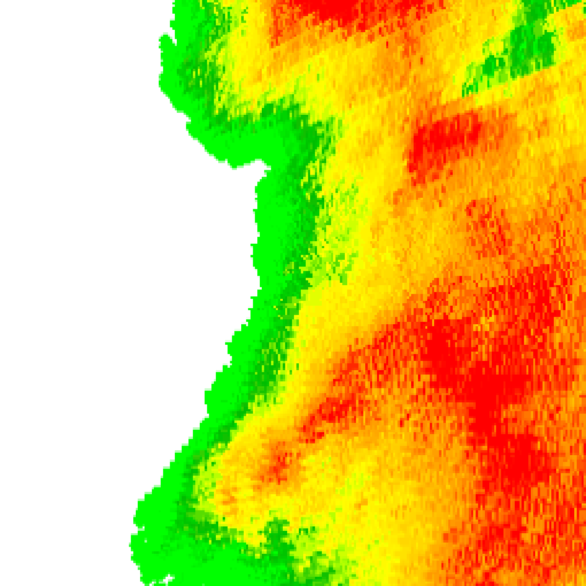
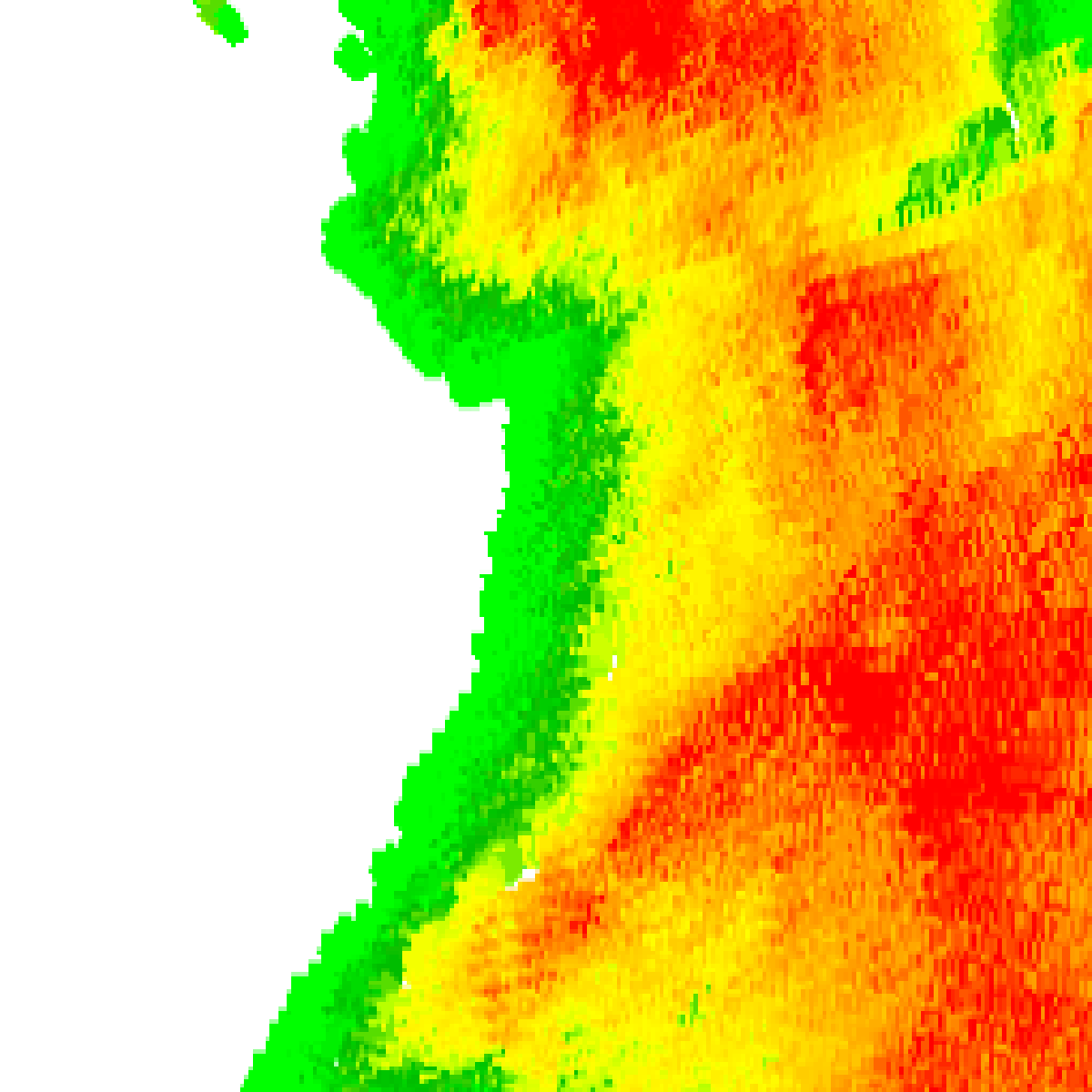
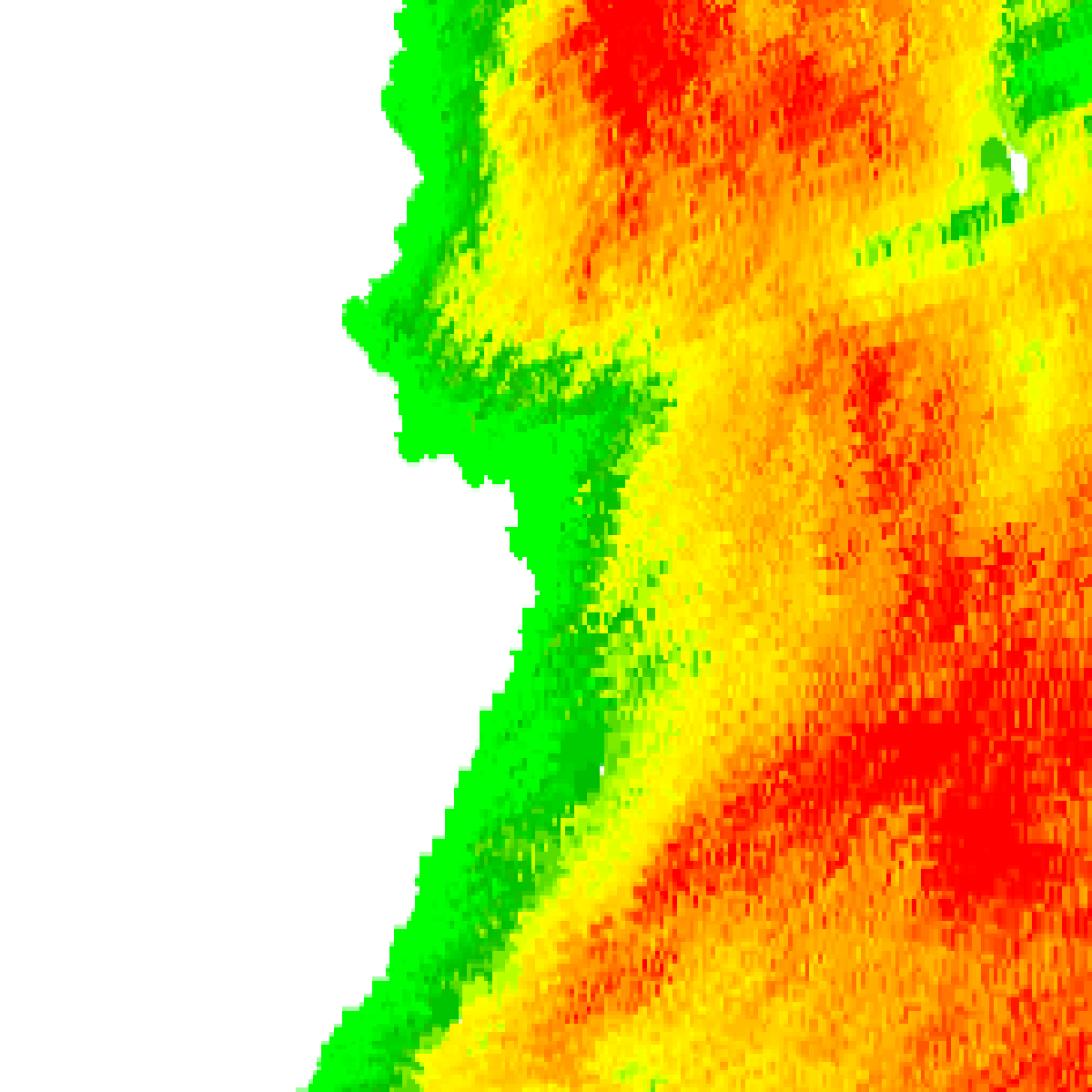
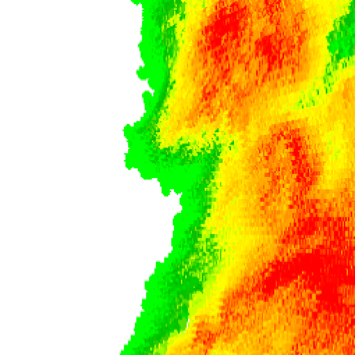
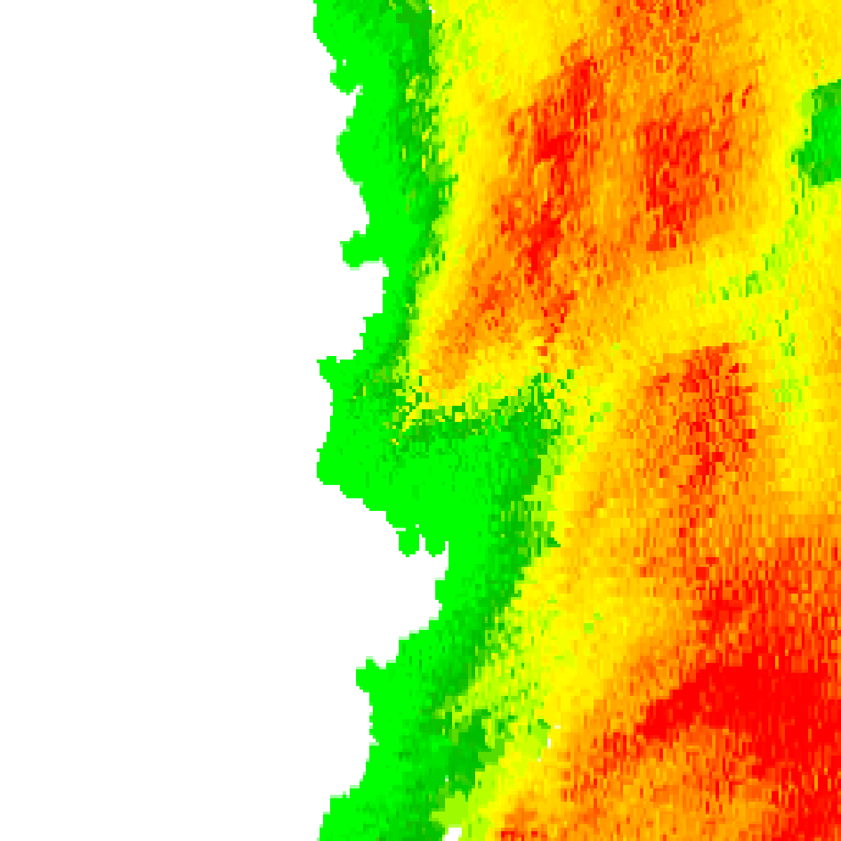
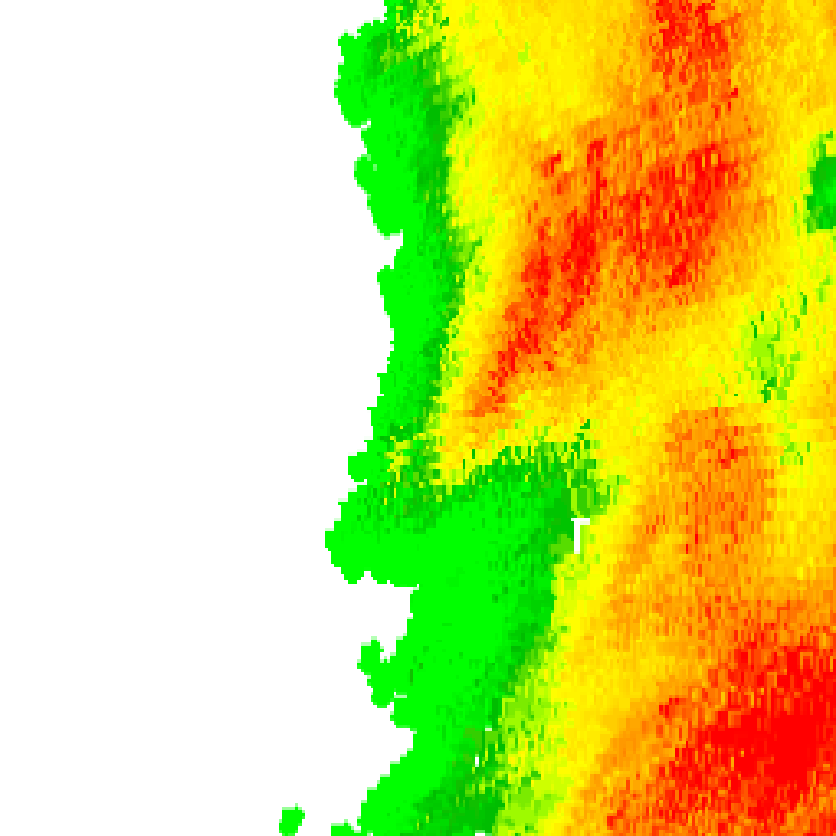
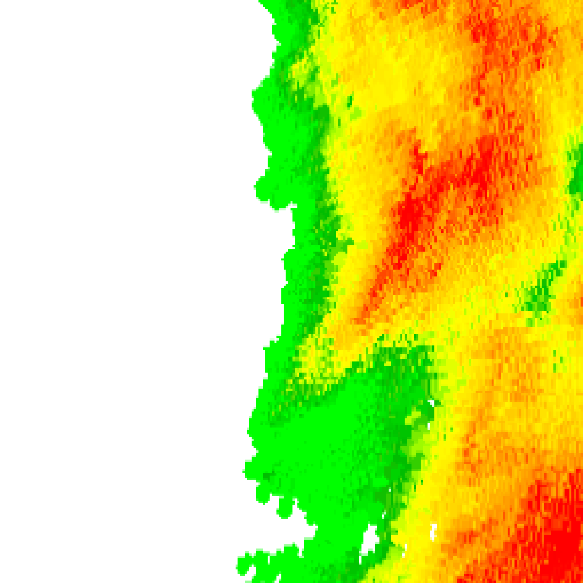
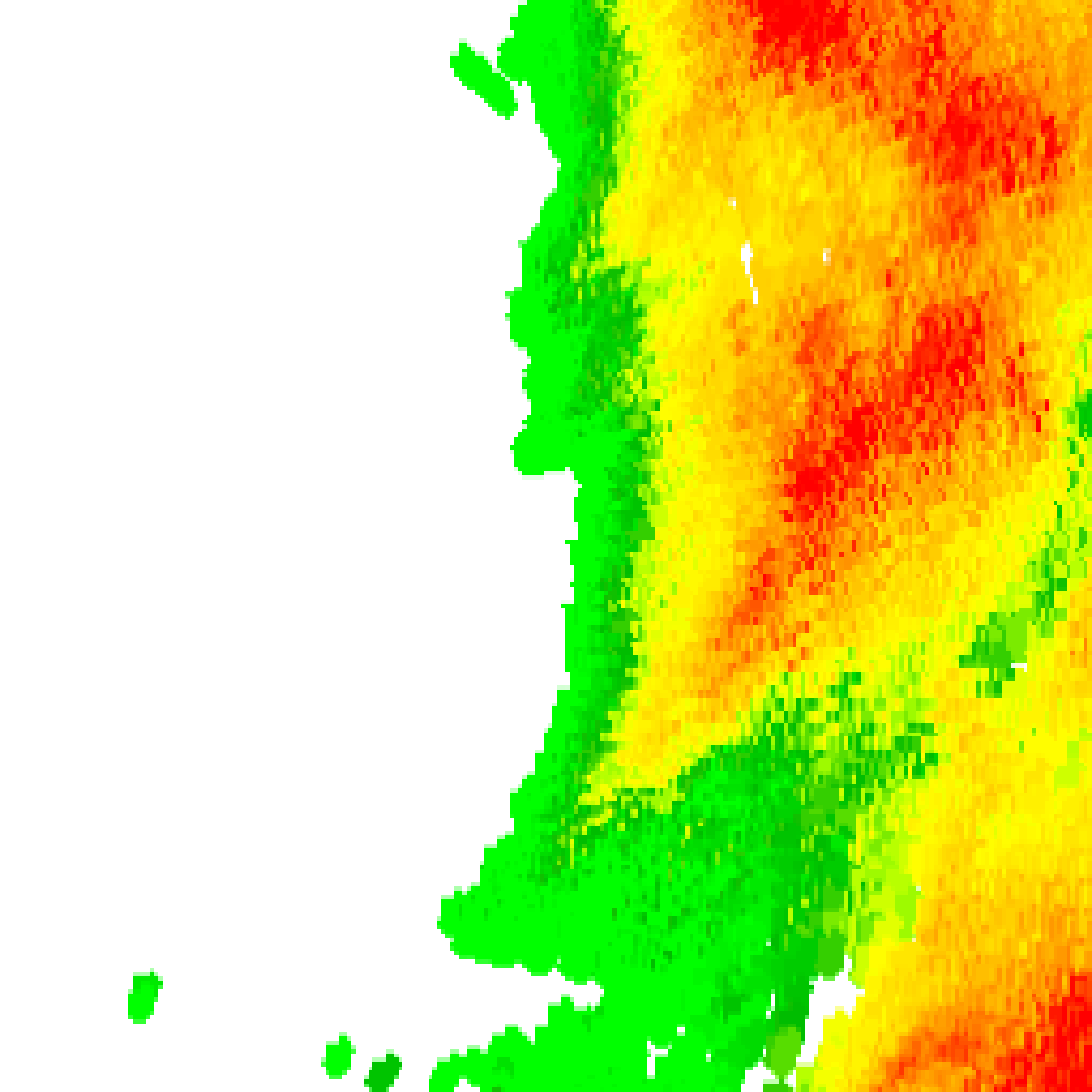
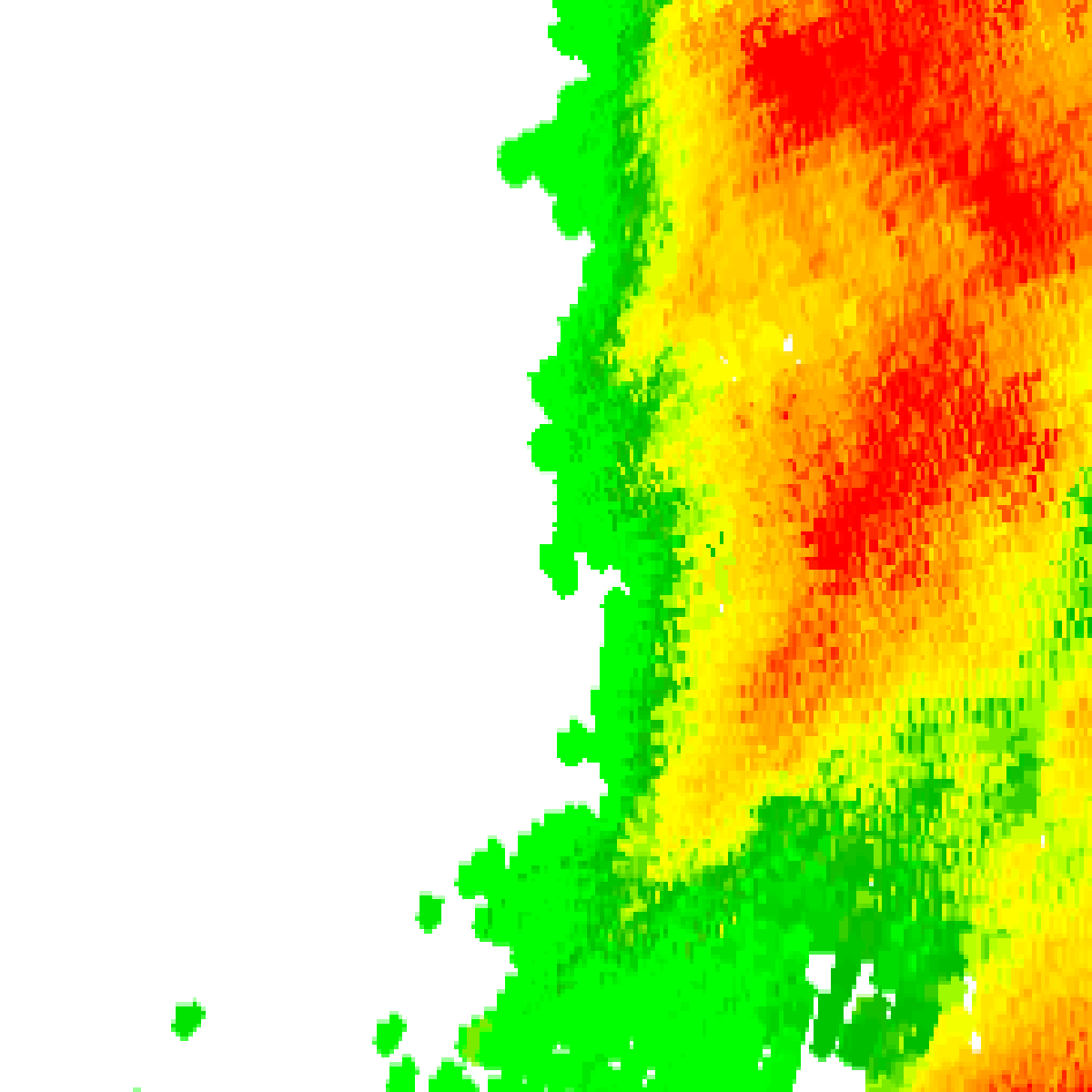
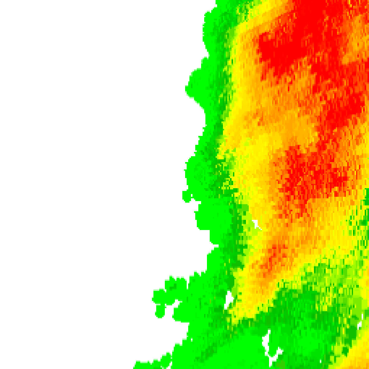
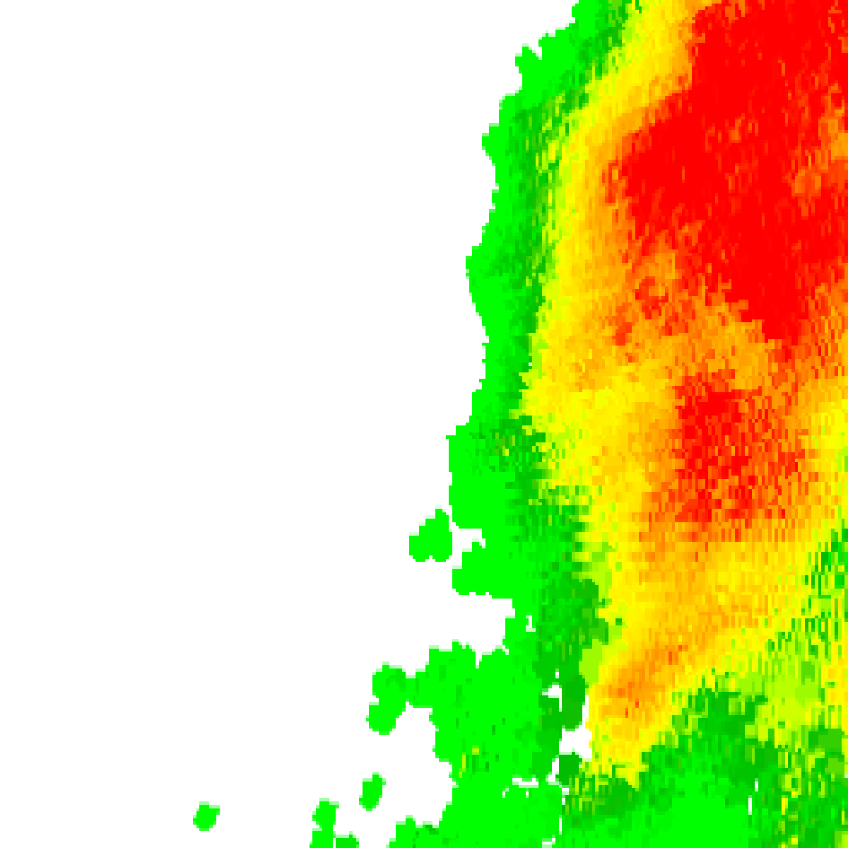
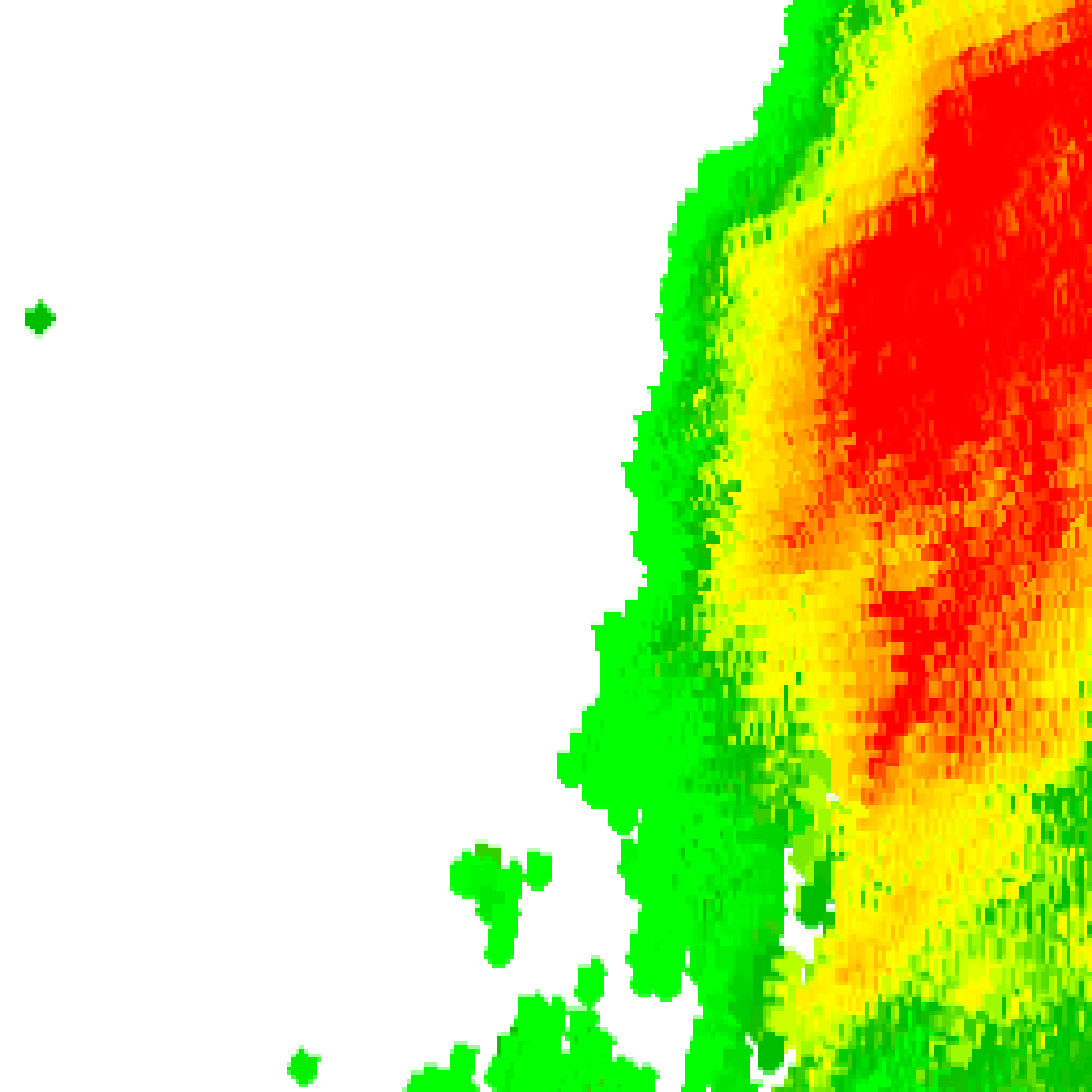
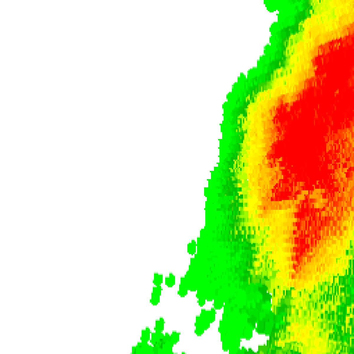
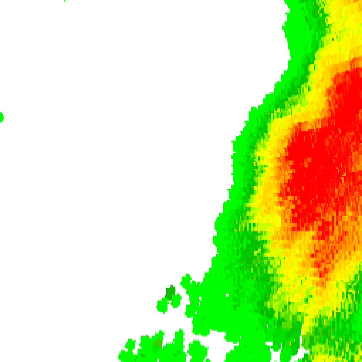
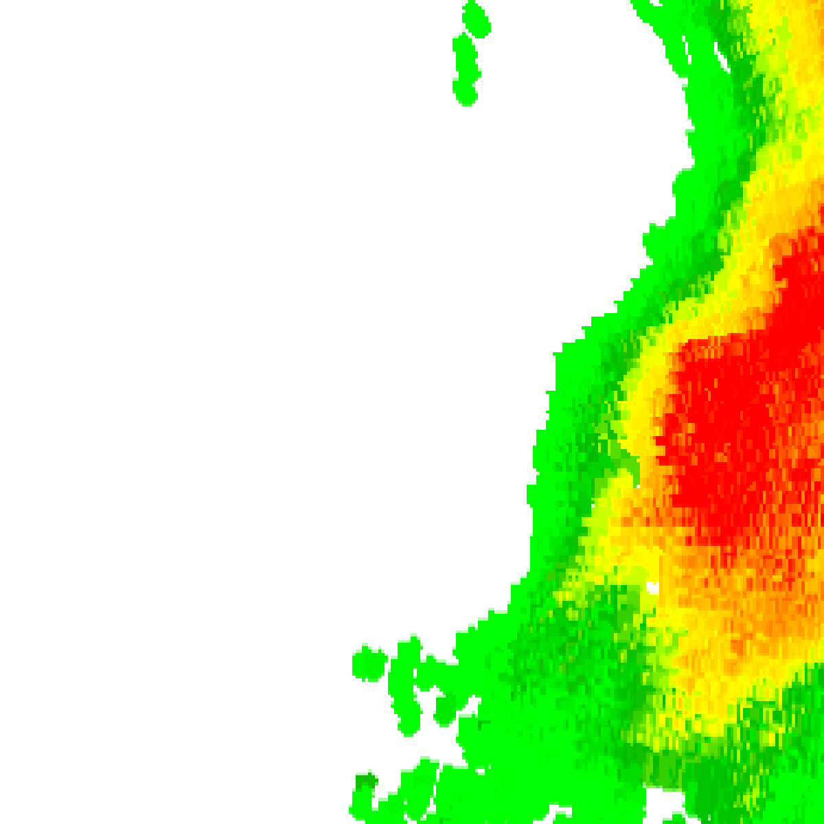
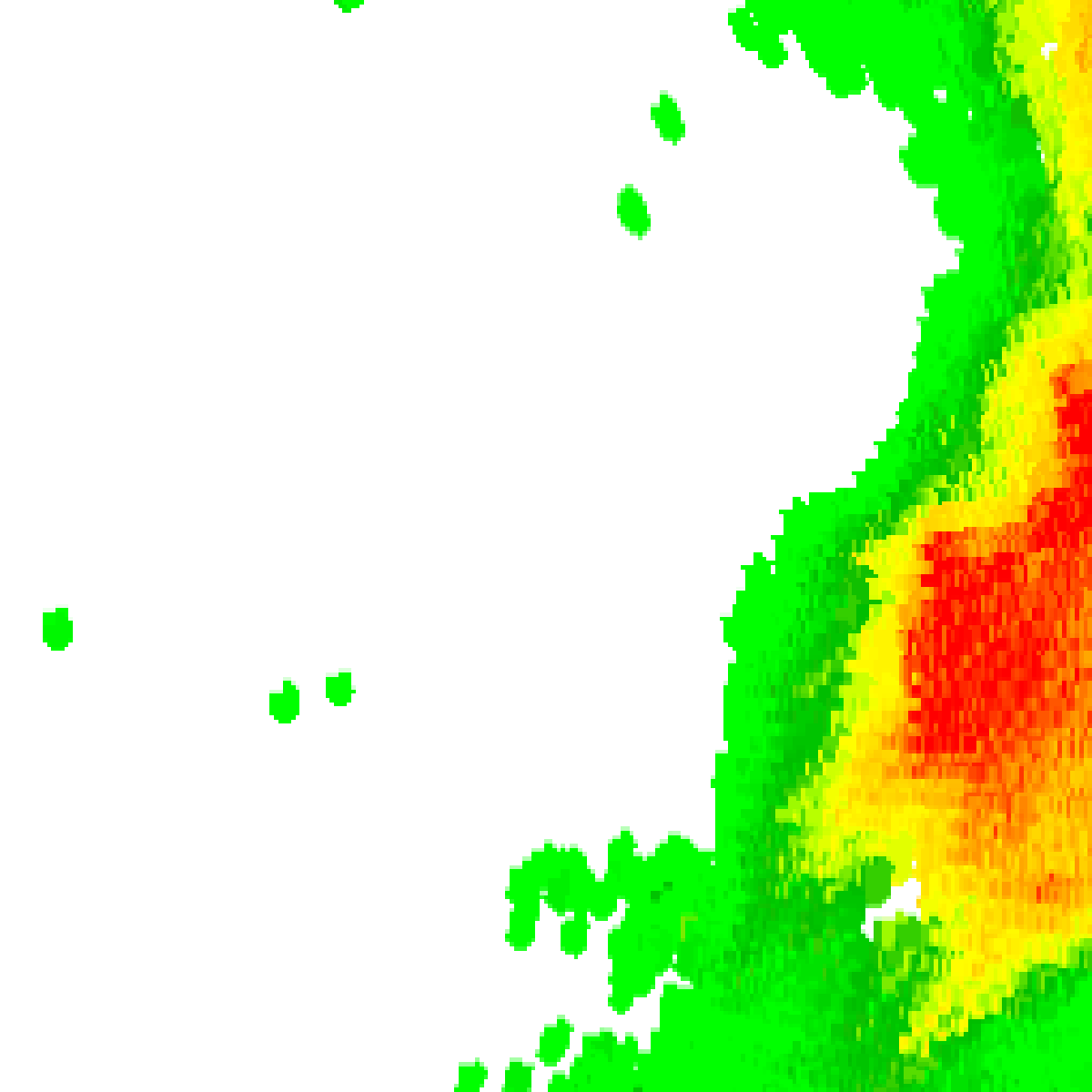
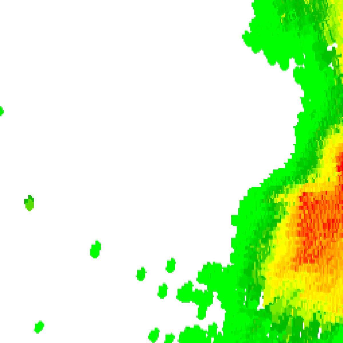
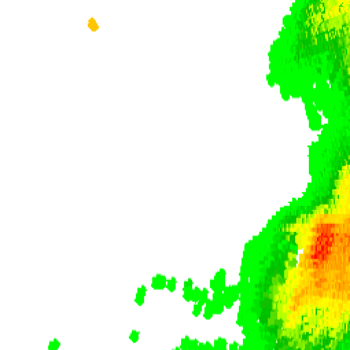
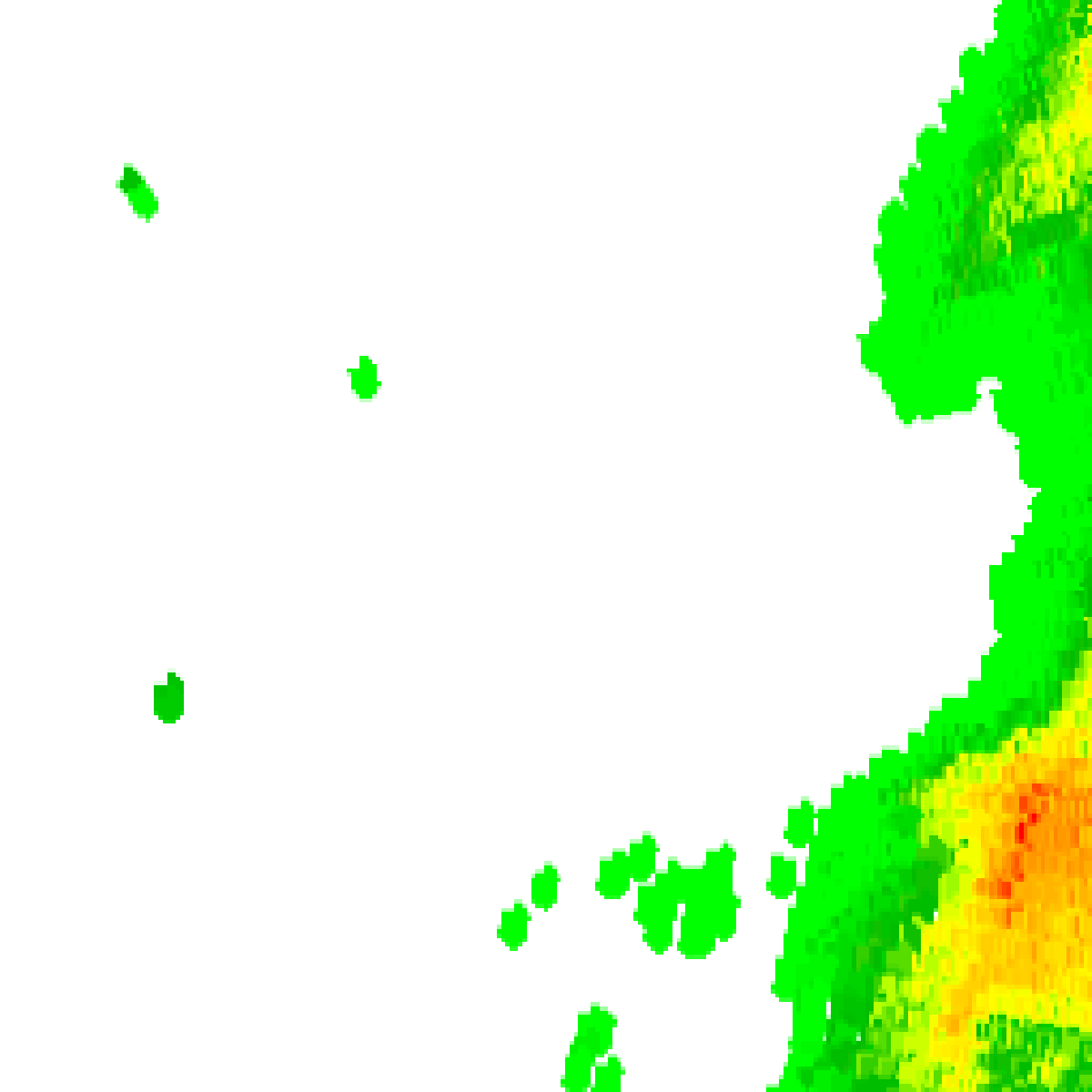
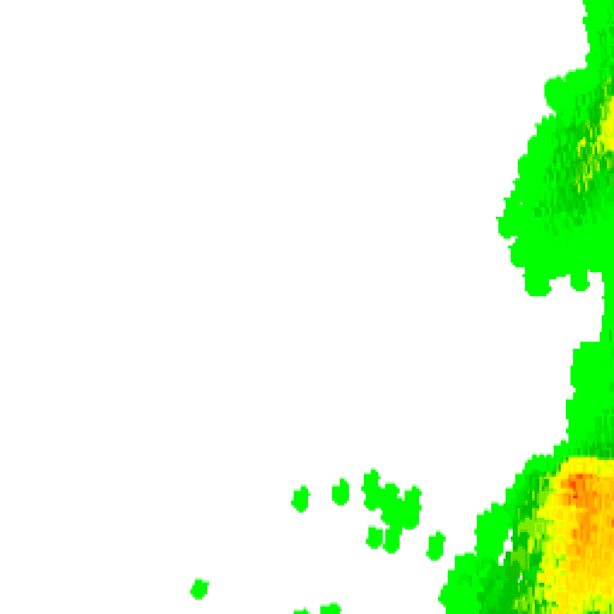
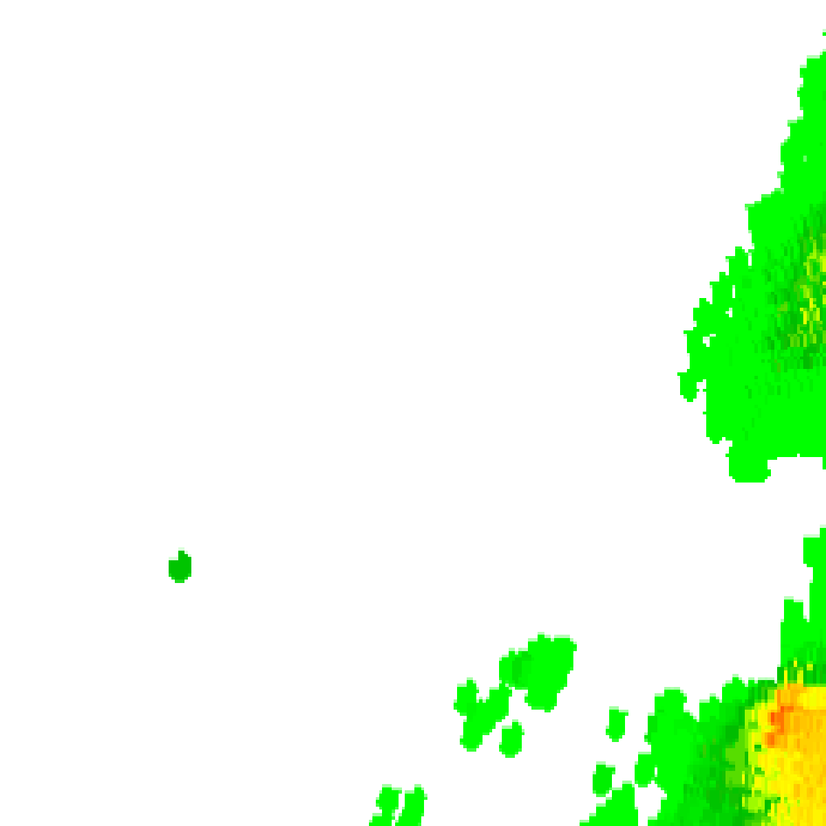
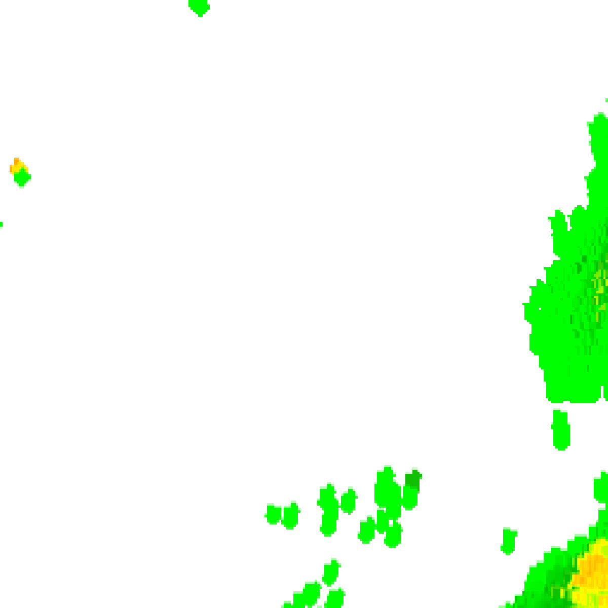
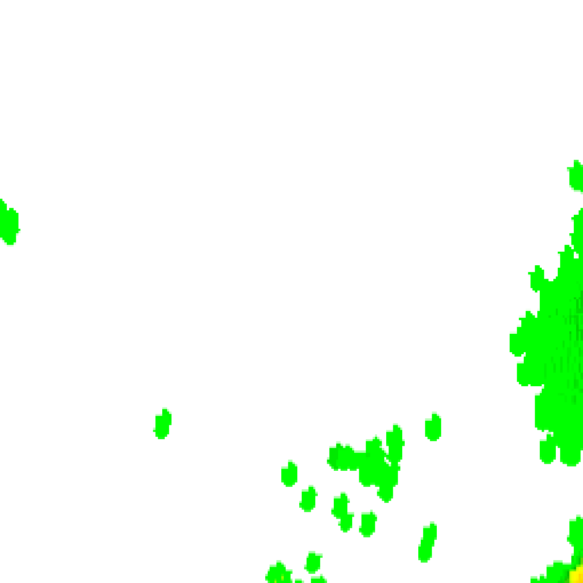
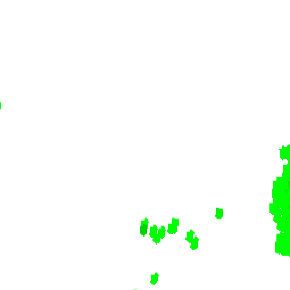
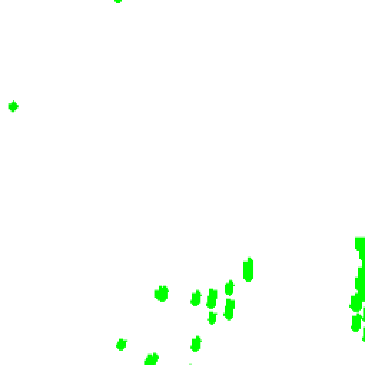

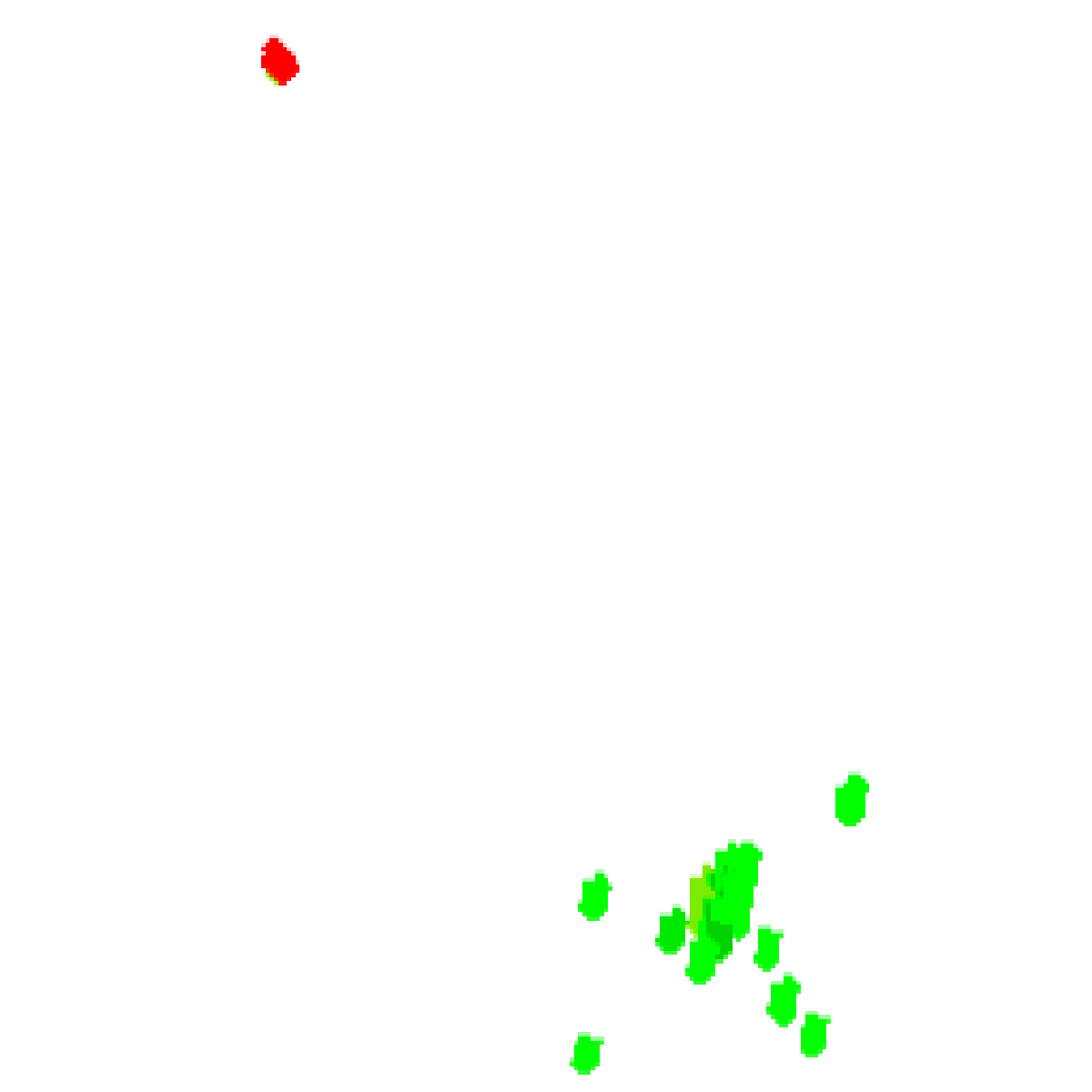
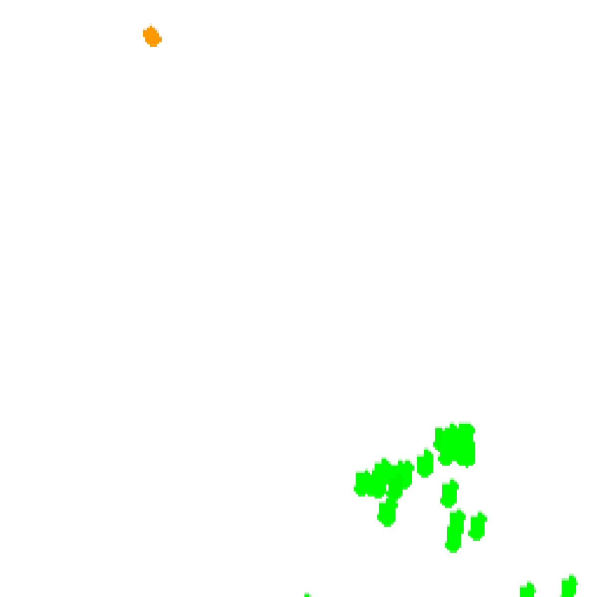
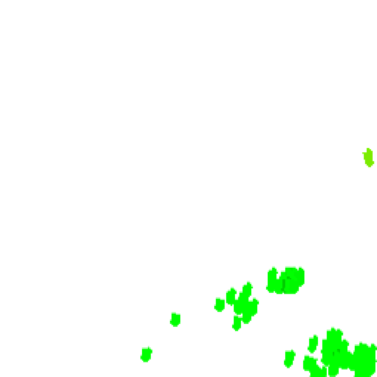




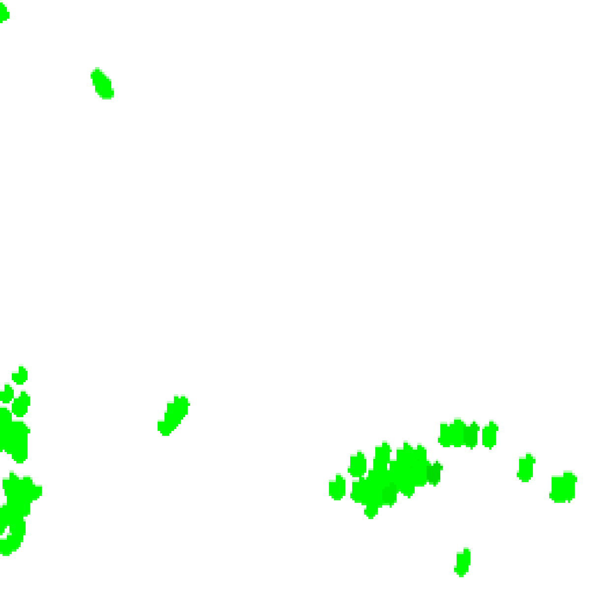
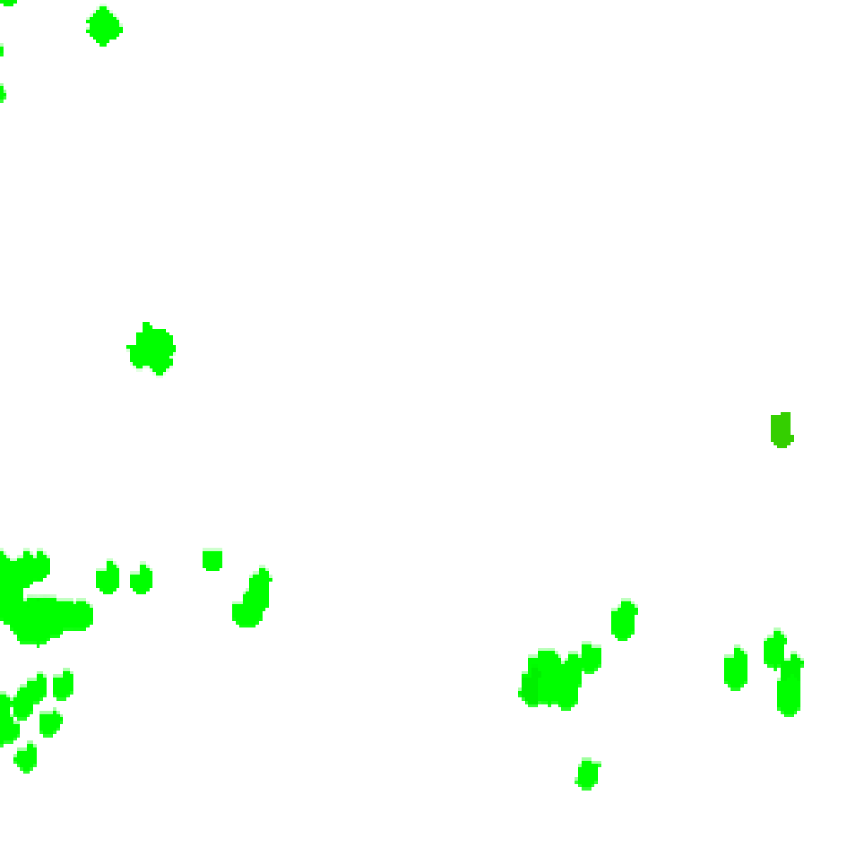
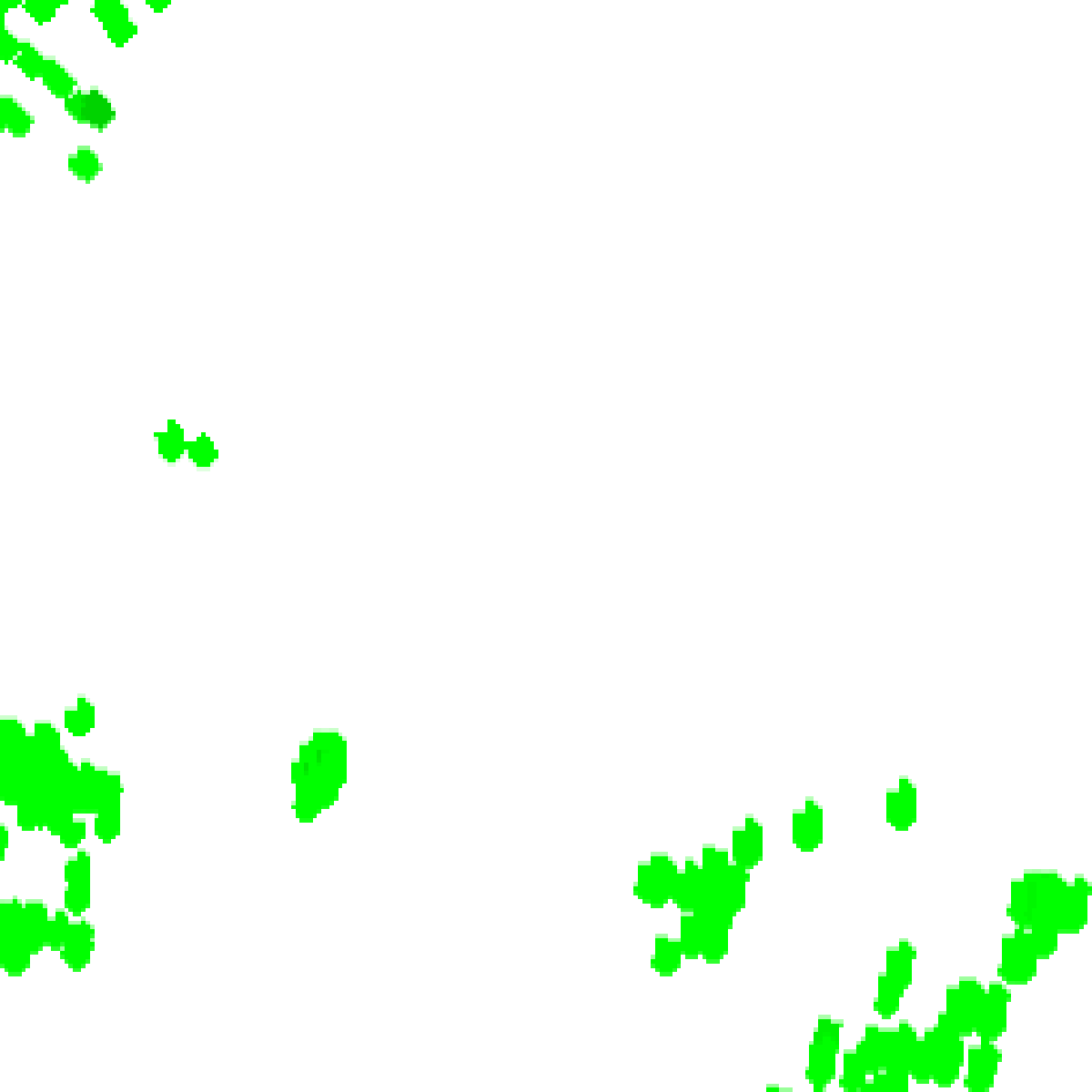


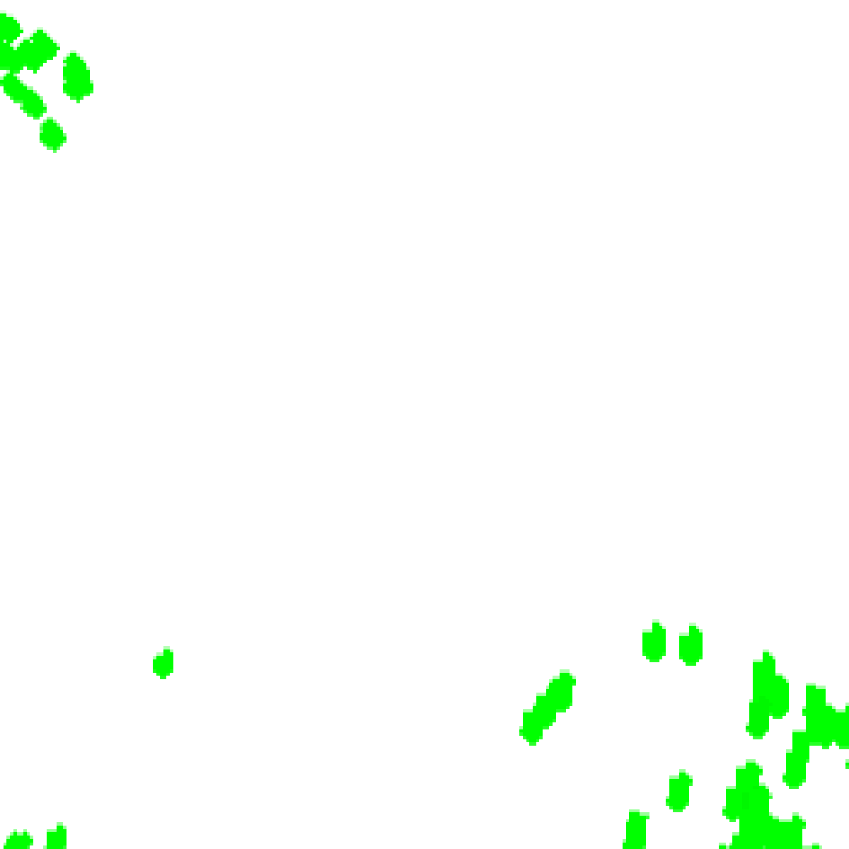
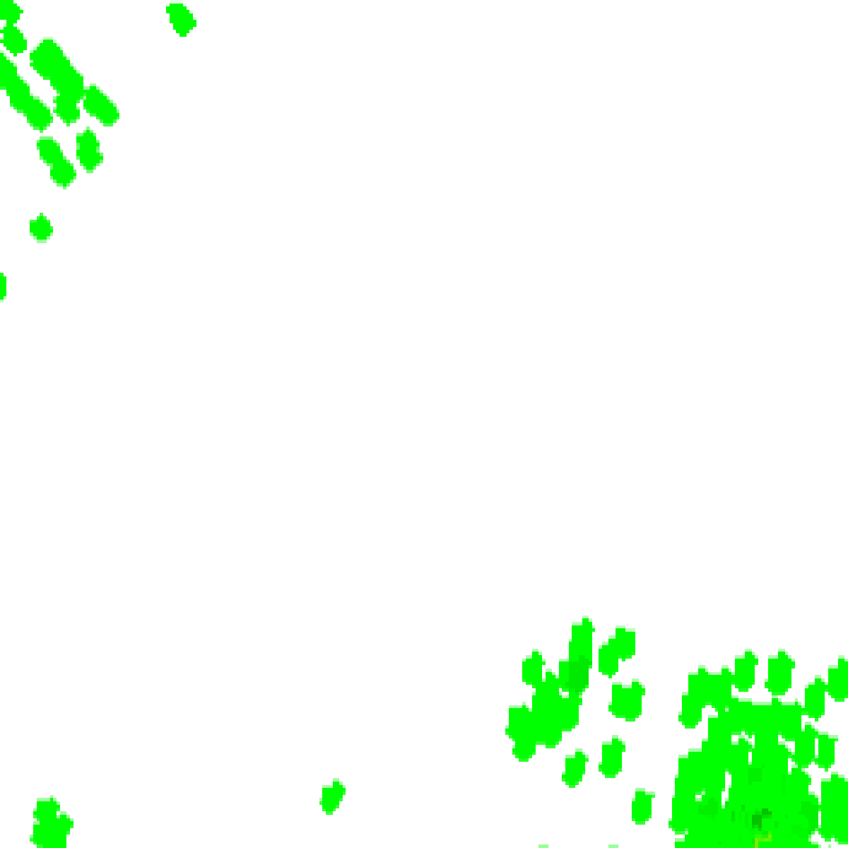
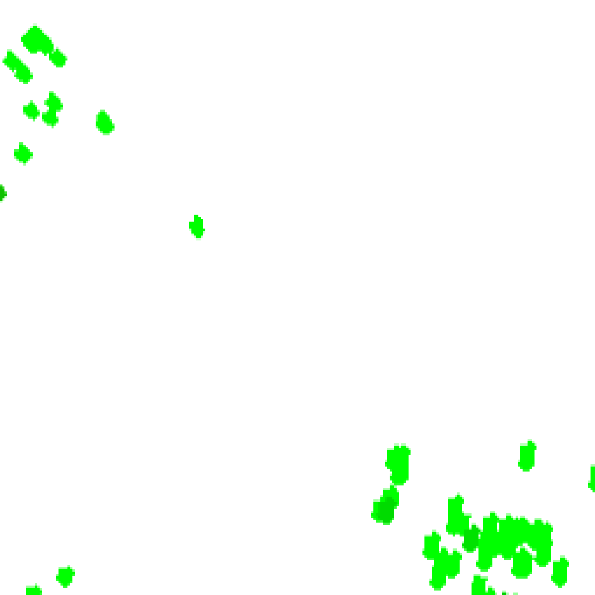



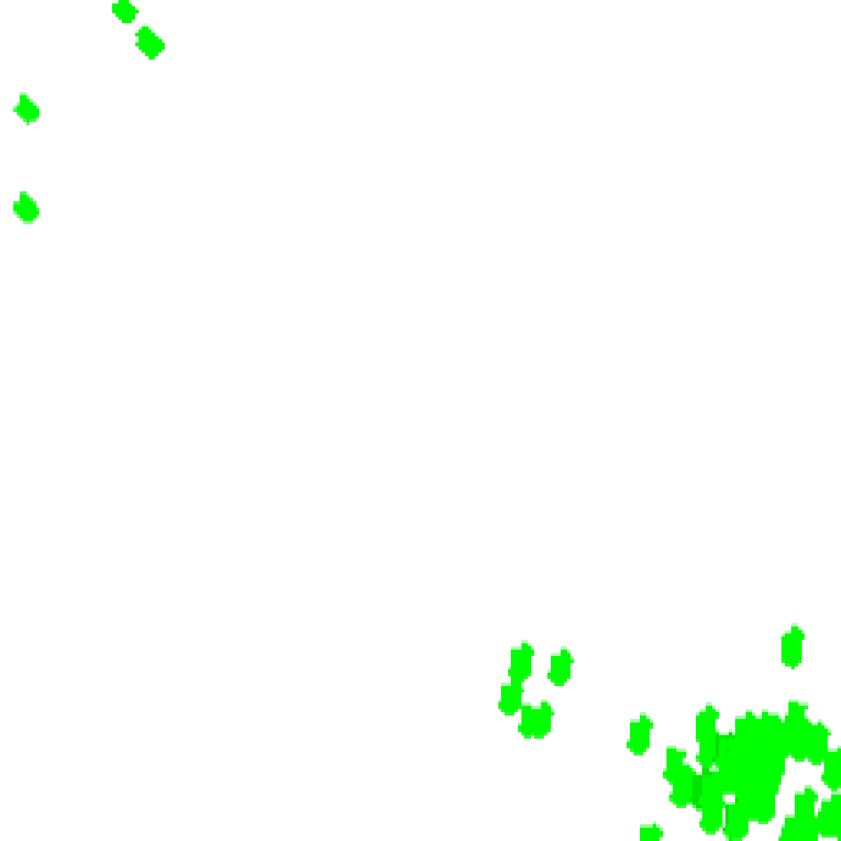


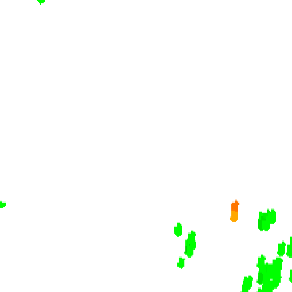
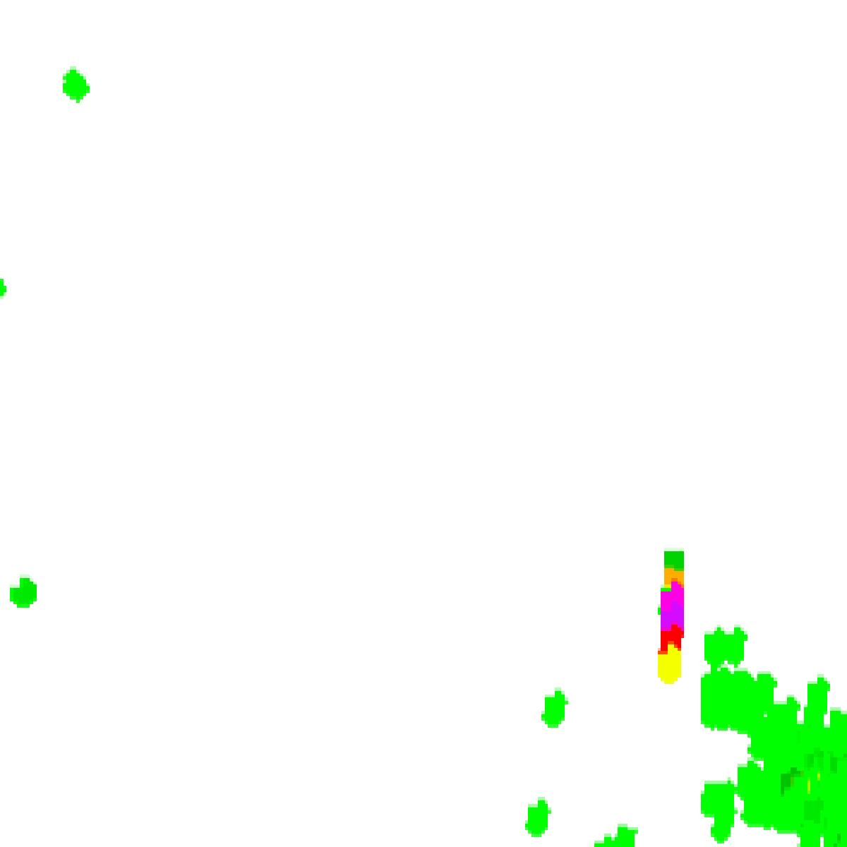
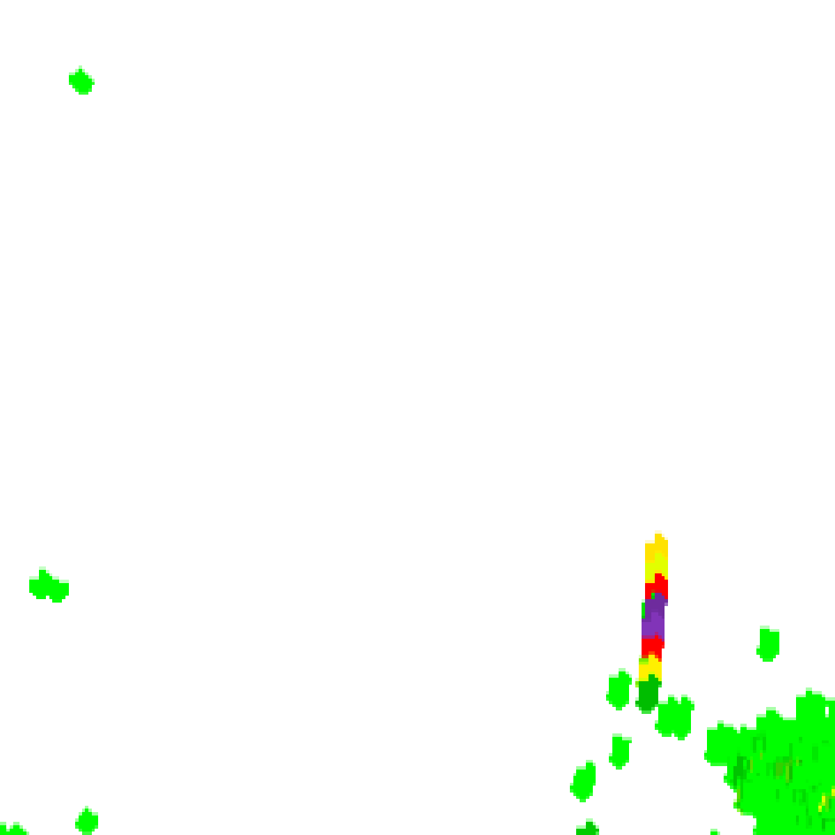
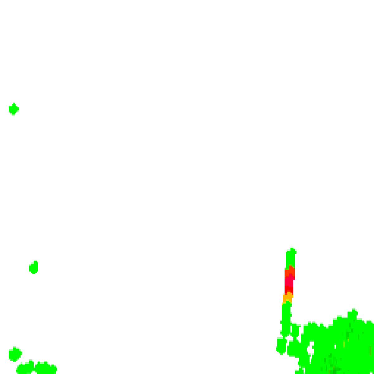
Bureau radar loop, Canberra (Captains Flat), 40 km around Ulladulla · 12:00pm AEST – 8:00pm AEST · Radar data: Bureau of Meteorology, © Commonwealth of Australia, CC BY 4.0
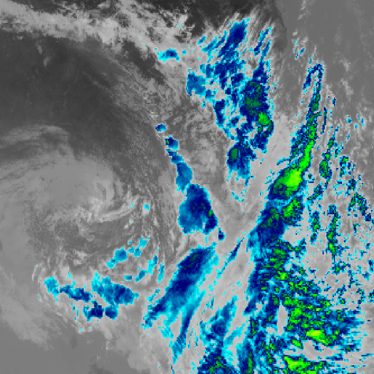
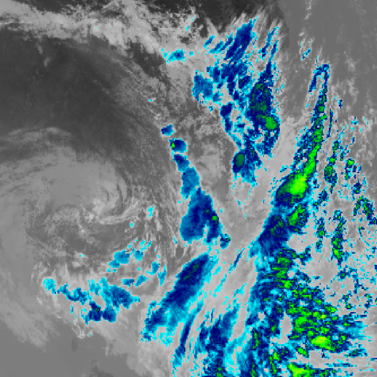
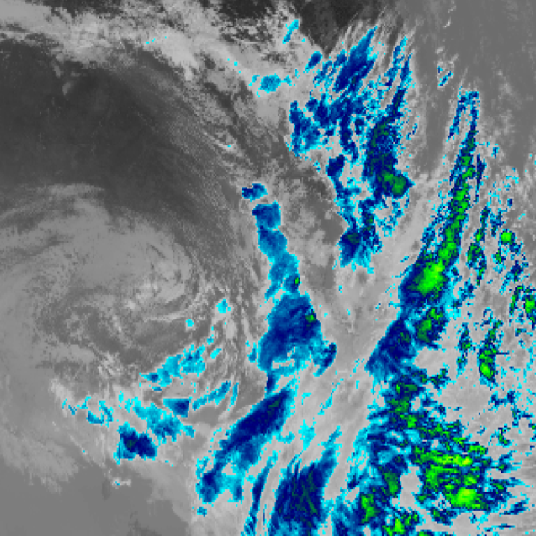
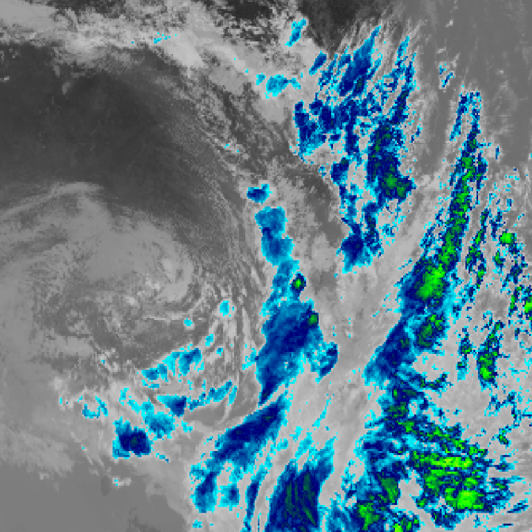
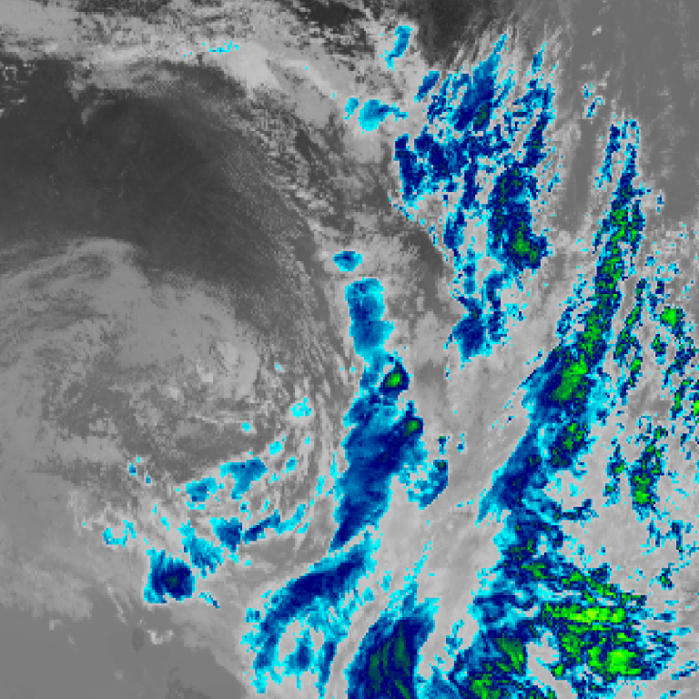
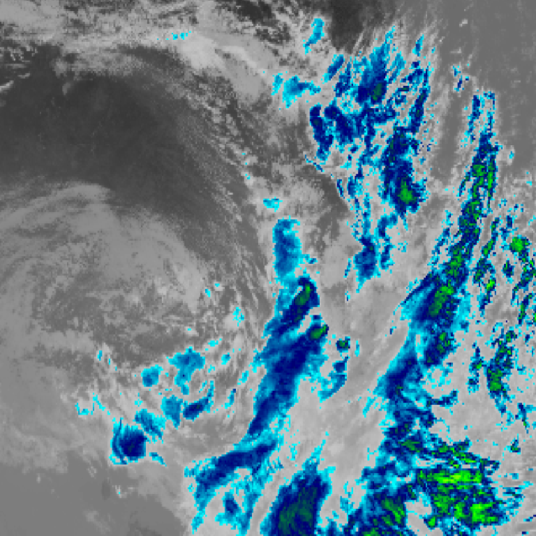
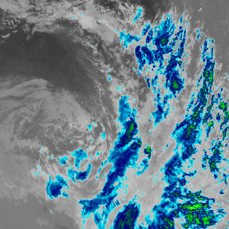
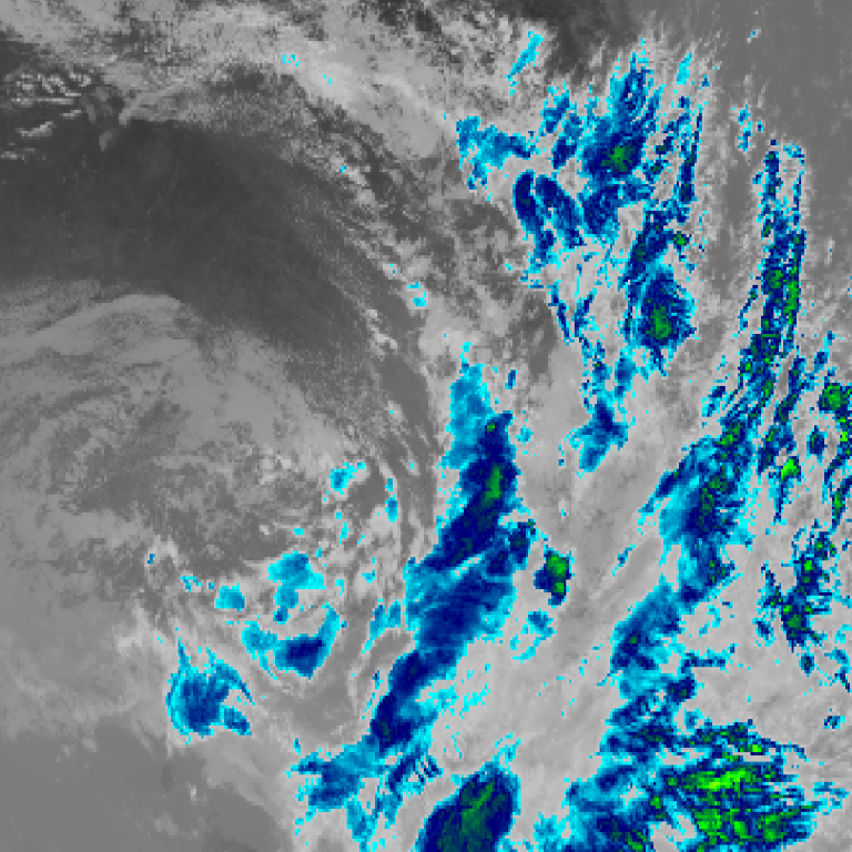
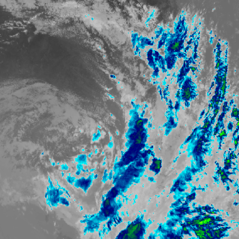
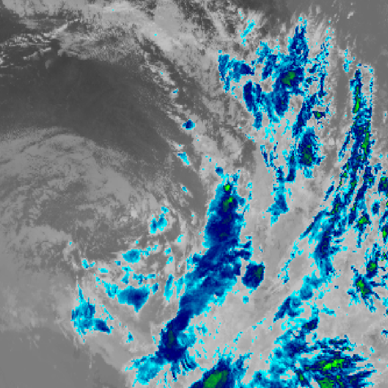
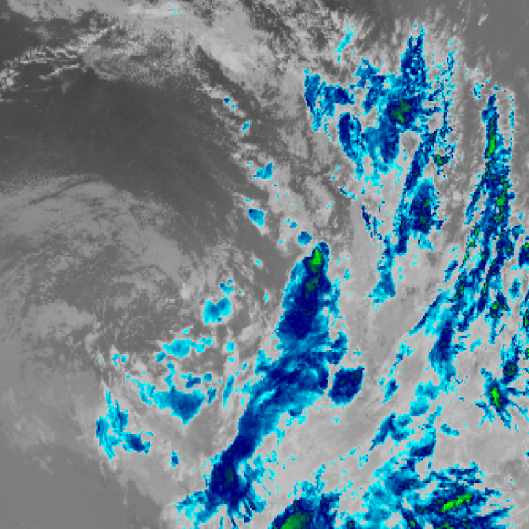
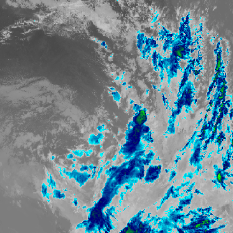
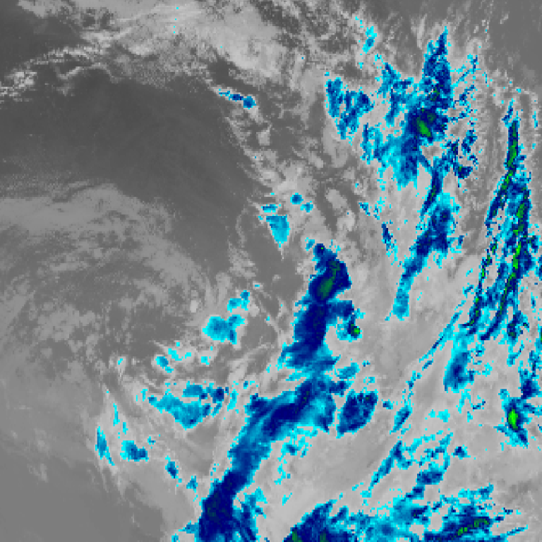
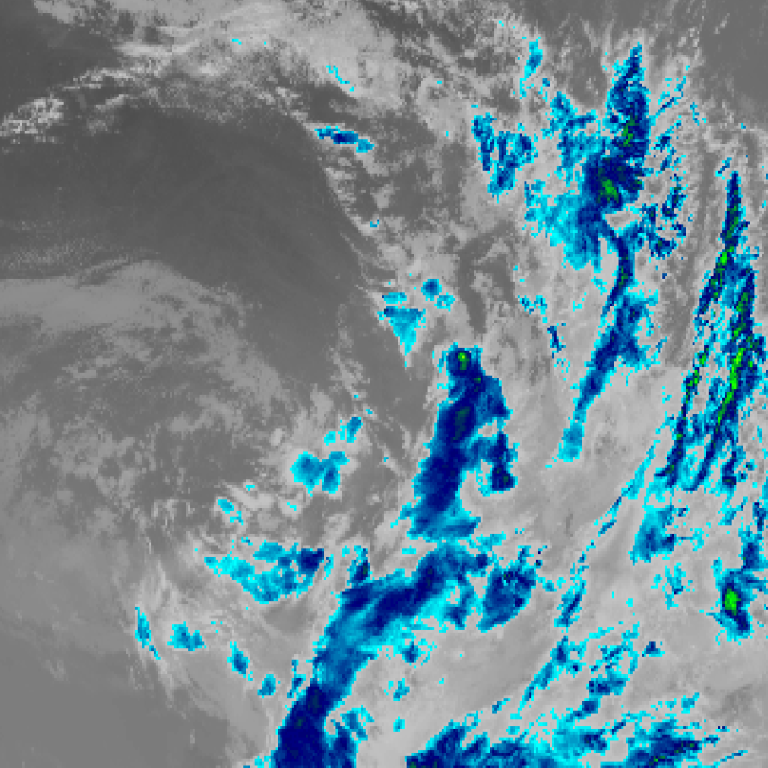
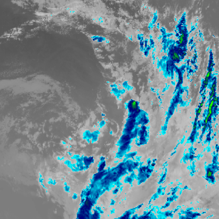
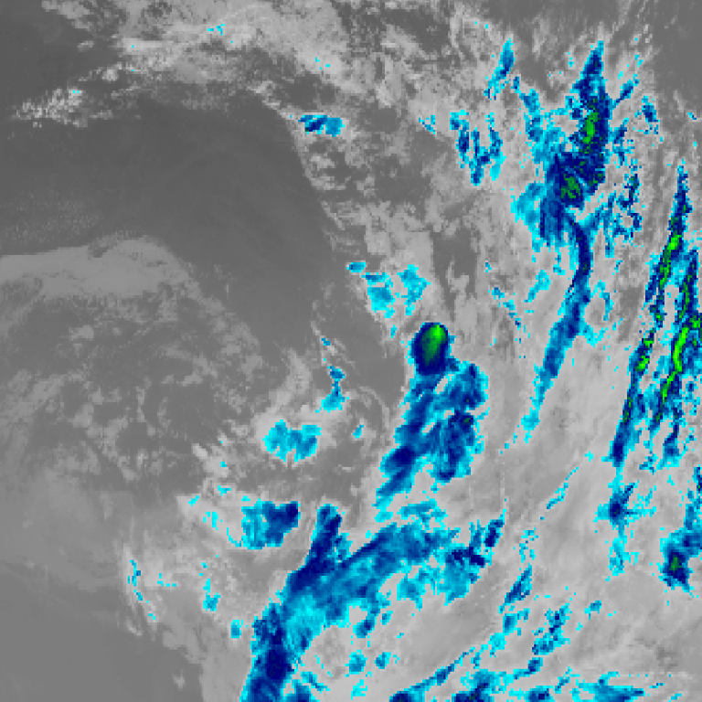
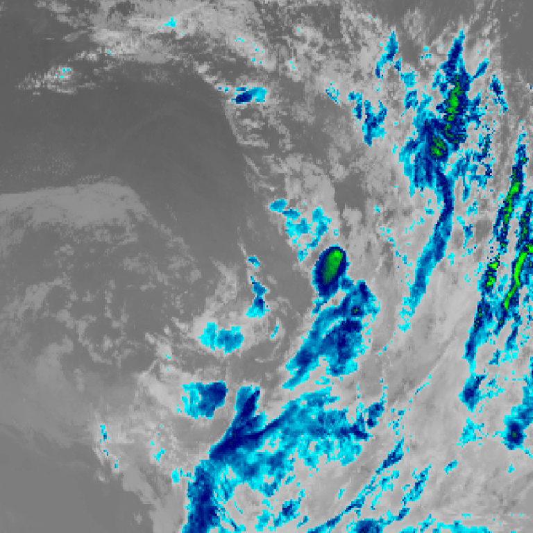
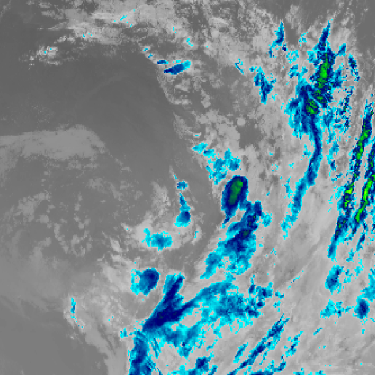
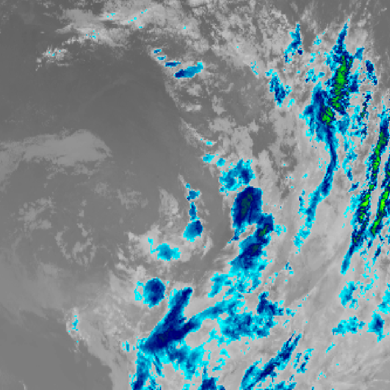
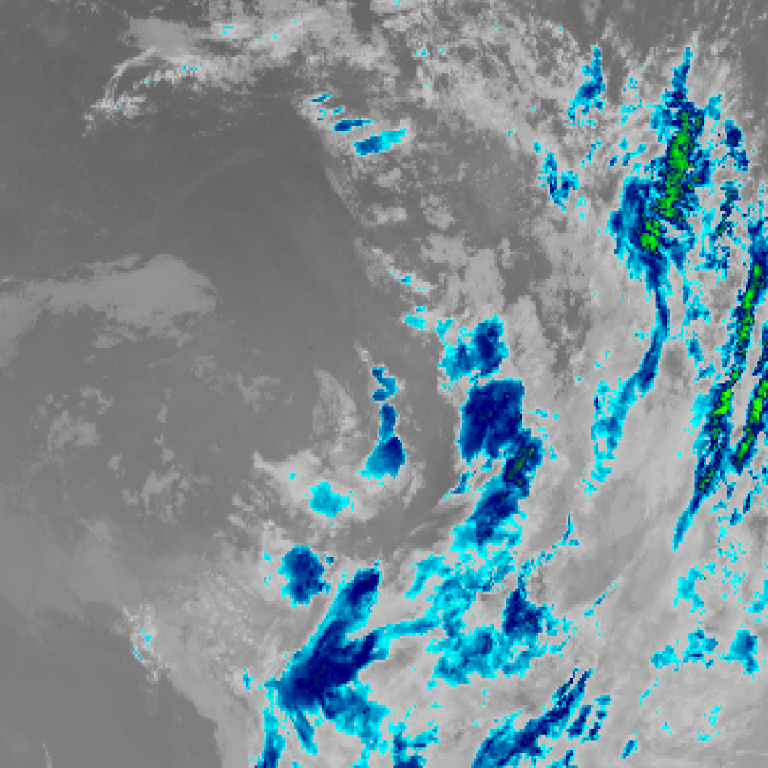
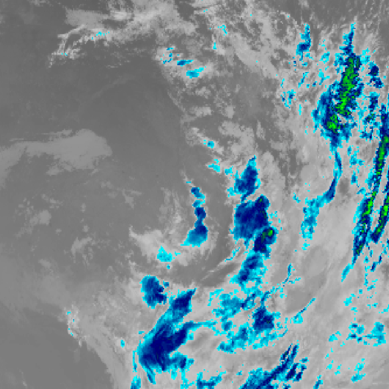
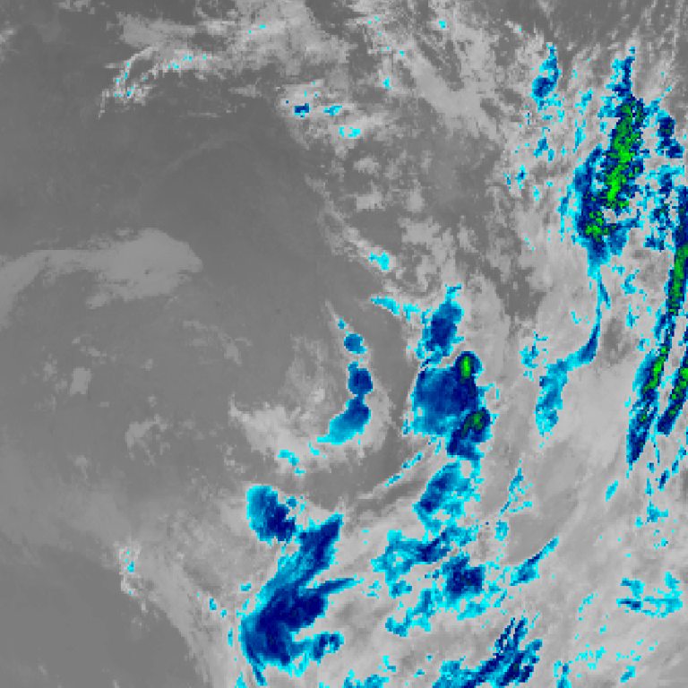
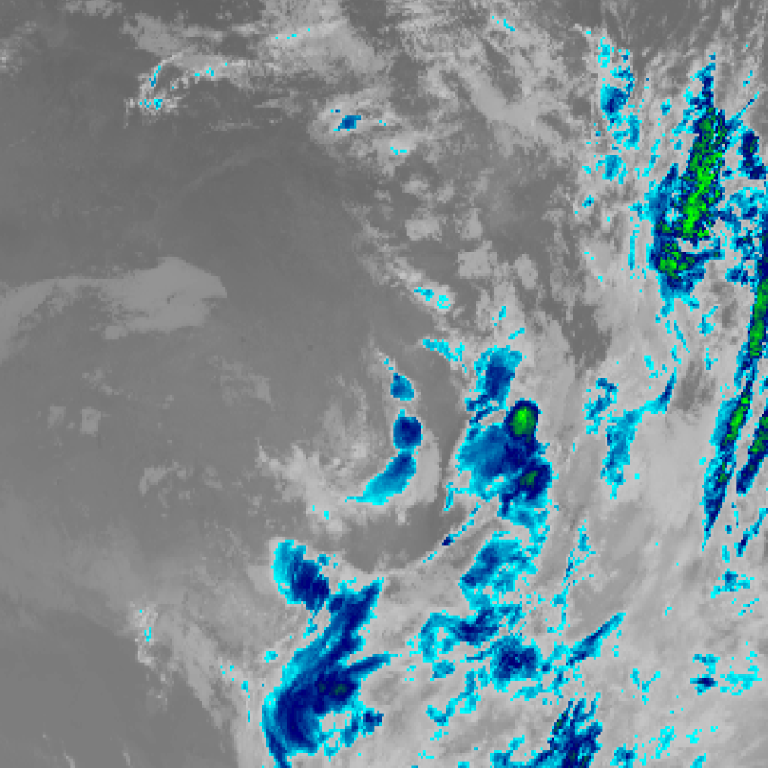
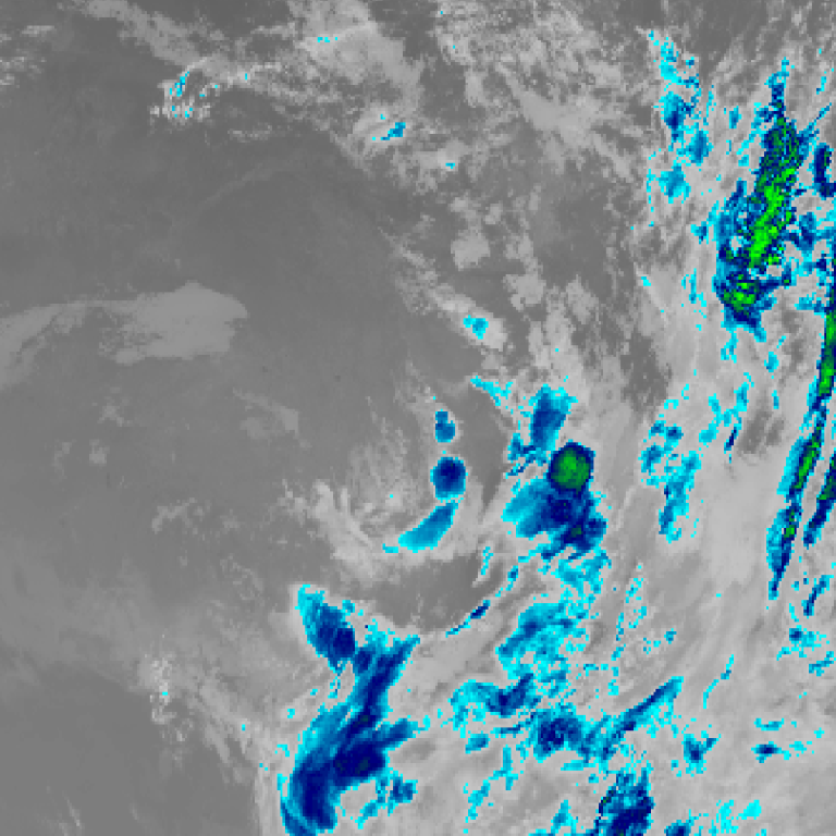
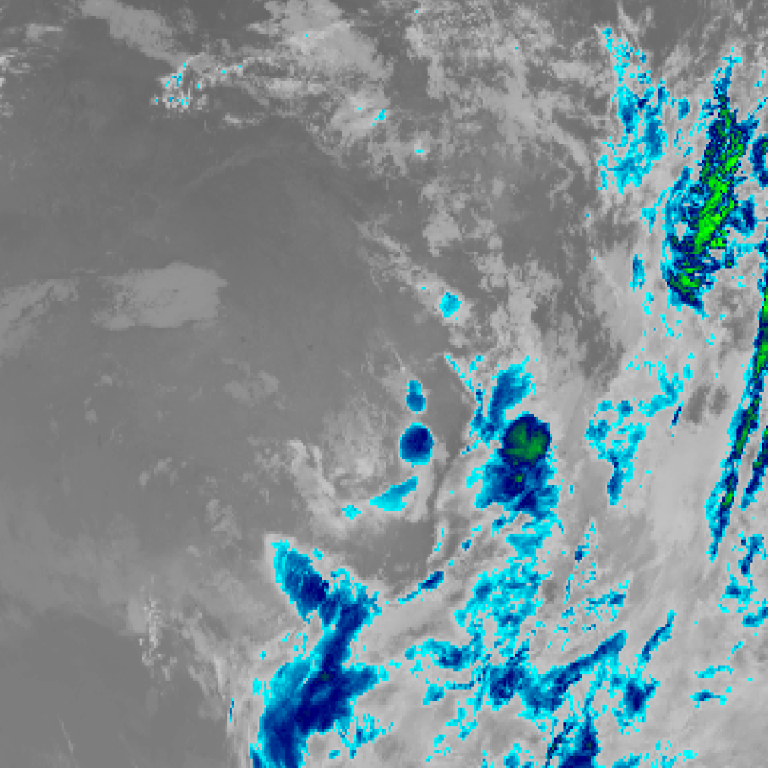
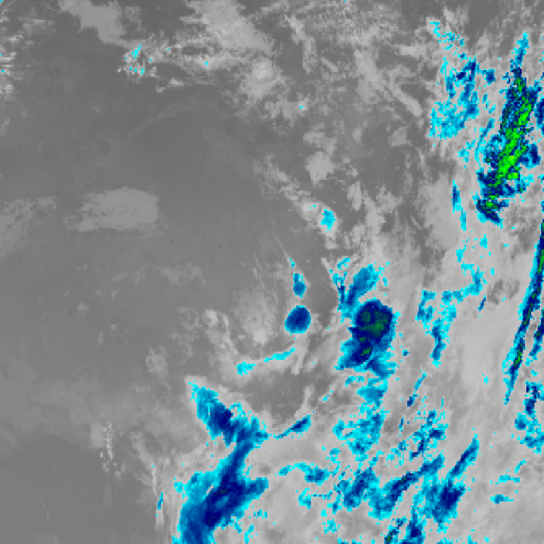
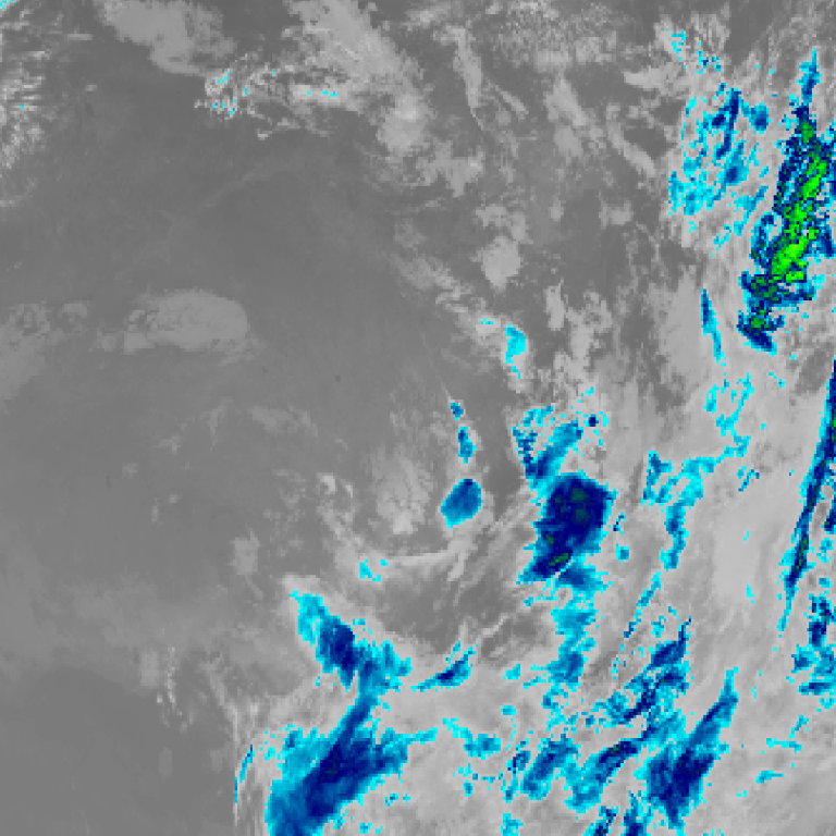
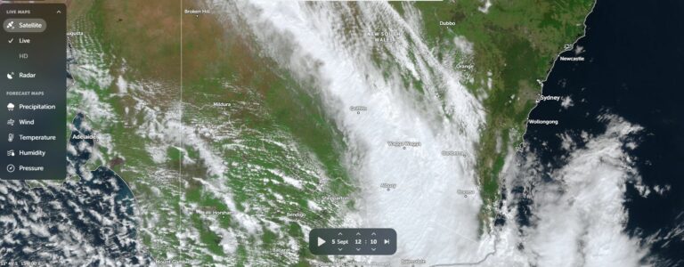
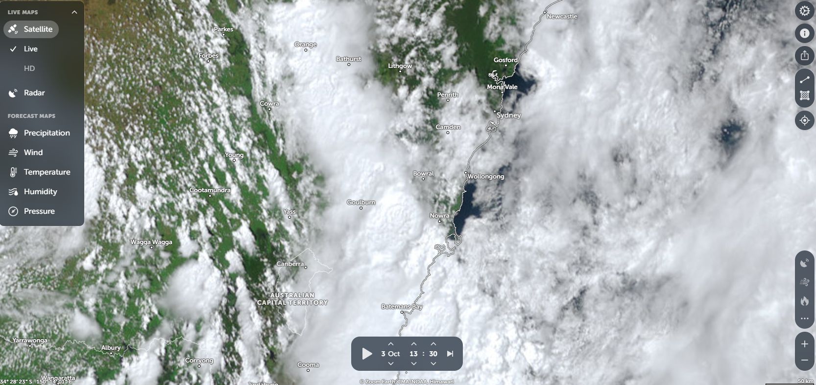
Himawari satellite loop (infrared) · 12:00pm AEST – 9:00pm AEST · Imagery: JMA Himawari via NASA GIBS
When reviewing that plot (Attached) and comparing to what occurred during the event, that plot I prepared was relatively accurate.
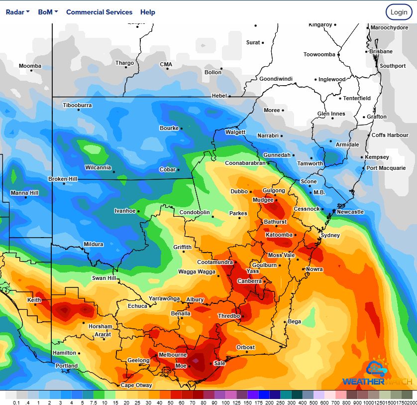
Multiple weather events occurred and across some regions, the entire monthly rainfall expected for October fell in one day. What makes this event so significant, is that, this is an El Nino year and enough rainfall may have occurred to stave of drought conditions for some time to come.
Rainfall was heavy at times which was amplified by short lived thunderstorms passing across specific regions.
The system formed across eastern South Australia and as it crossed through Victoria, significant rainfall fell across large areas of the state.
Some standout events include but not limited to the following:
1 – Melbourne (Southern Victoria)
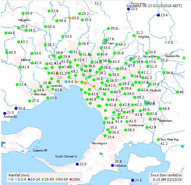
The city of Melbourne received some of the highest rainfall figures recorded across the state of Victoria for the 24 hours to 9 am Friday morning.
This is a rare event to observe which included 20 mm falling between 3 pm and 5 pm (At Melbourne Olympic Park). The final tally for Melbourne Olympic Park to 9 am Friday morning was 48.4 mm.
For the 24 hours to 9 am Friday morning, rainfall figures across the city ranged from 30 mm to 60 mm. This included 5 localities receiving more than 50 mm.
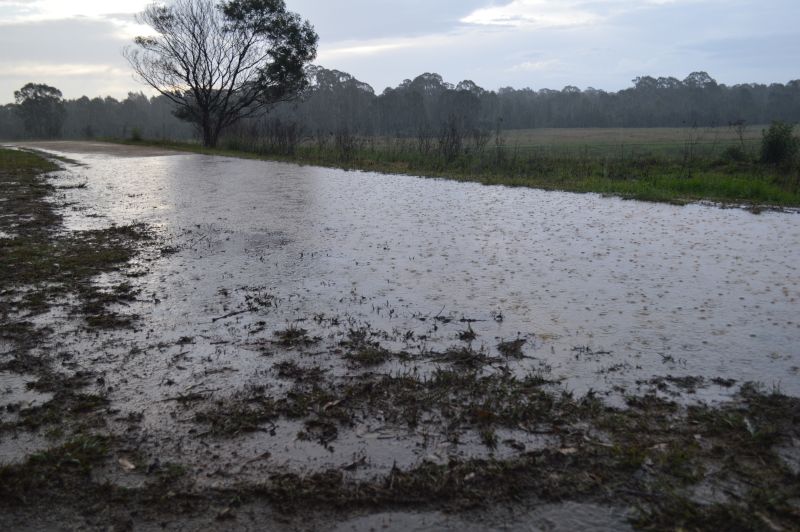
Such rainfall did cause havoc including some power outages and some reports of local flooding. The rainfall that fell across Melbourne was a clear standout especially given how dry September was.
2 – Northeast Victoria
During Friday, parts of Northeast Victoria were drenched with isolated rainfall totals topping 50 mm from separate rain events or single thunderstorm events. The highest totals to 9 am Saturday morning included:
- Berringama – 54.2 mm.
- Biggera – 53.2 mm.
- Hunters Hill – 51.2 mm.
- Falls Creek – 50.8 mm.
After midday Friday, a narrow line of thunderstorms and heavy showers impacted the Albury City area. Following 17.6 mm at the airport to 9 am Friday morning, another 40.6 mm fell here during the afternoon (Total 58.2 mm). That is 10% above the October average rainfall of 52.3 mm falling in one day and another rare event to see.
Other nearby regions received 30 to 40 mm.
3 – South Coast and Canberra
The rainfall contracted to the South Coast, Southern Tablelands and Canberra regions during Saturday.
During Saturday, the Canberra region received 30 to 50 mm.
I was in Batemans Bay Saturday morning and after 10 am, two separate heavy rain events impacted the town producing rainfall totals of 20 to 30 mm.
Further north, Ulladulla received 27 mm to 9 am (Saturday).
4 – South Coast Thunderstorms
During Saturday, a line of thunderstorms developed to the north of Batemans Bay all the way northwest towards Goulburn and beyond. The first storms that formed developed ahead of an existing rain band or to the north of that rain band as separate cells.
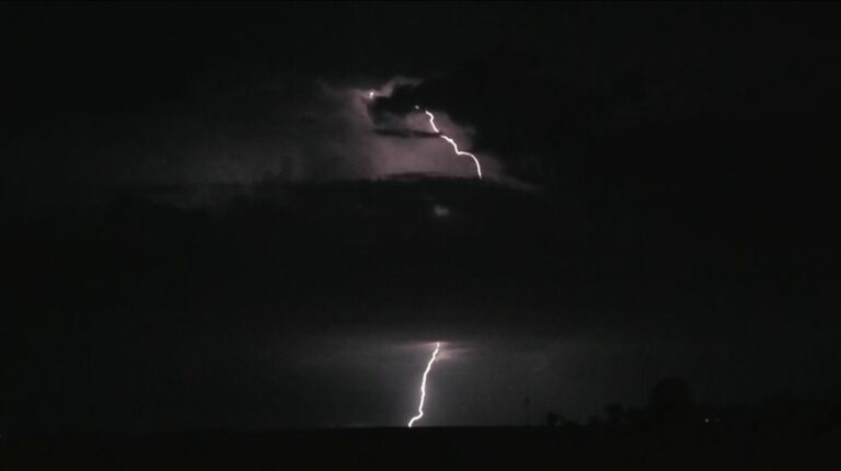
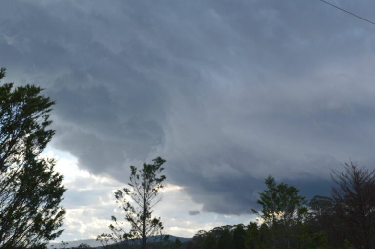
At the time I left Batemans Bay at 12.20 pm, I was observing isolated sheet lightning within what appeared to be a weak thunderstorm to the north of town. That storm was impacting a region approximately 20 km north of town but south of Ulladulla. It did not look interesting (Just an area of heavier rainfall with occasional sheet lightning).
Another similar cell came off Clyde Mountain at the same time which I intercepted. That cell had heavy rainfall within its core and was similar to what I was observing to the north. I broke out of that storm approaching Braidwood into clearer skies.
I was not aware of a specific localised event that occurred at Ulladulla just after 1 pm and after checking the radar beforehand, nothing would have indicated anything unique occurring within the region.
5 – Ulladulla Brief Tornado
A brief tornado was reported at Ulladulla. Had I gone north into that mess of rain instead of through Braidwood, I probably would have come close to the town at the time the event occurred or close to it. It appeared to be brief and narrow. A weather station nearby did identify peak wind gusts to 98 km/h at the approximate time the event occurred.
I only learnt of this upon arriving home.
6 – Storm Chase Goulburn to Blacktown Saturday Afternoon
I was tracking a narrow line of thunderstorms between Goulburn and Mittagong and based upon past experience, I had a fair chance of getting in front of it. I launched a storm chase from Goulburn to Mittagong and I closed in hard on that line and penetrated deep into it 12 km south of Mittagong.
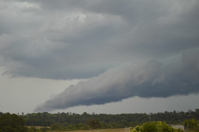
I was within 20 km of breaking through the line into clearer skies to the north. That would have given me the perfect opportunity to find a location ahead of it to take photos of the shelf cloud that existed ahead of and with that event.
That event impacted Goulburn earlier where 34.6 mm fell.
My storm chase came to an abrupt end at this time due to a motorist ahead rolling an American pickup truck on the Hume Freeway probably driving in a careless or dangerous manner in heavy rain. By the time, I reached that scene 40 minutes later, a crime scene had been established by Police with the overturned truck under investigation.
Driving north again, I managed to intercept the line of storms a second time at Campbelltown. I successfully drove through it to be in front of it where I was able to observe a large shelf cloud but no chance of stopping to get photos.
I intercepted the storm that passed through Blacktown whilst driving north on the M7 Motorway where I encountered the core with very heavy rainfall and ocassional wind gusts.
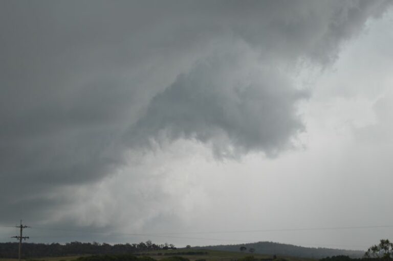
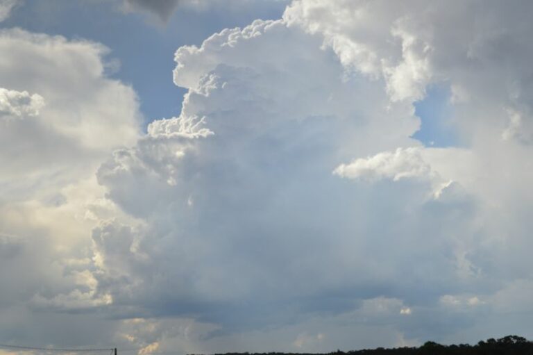
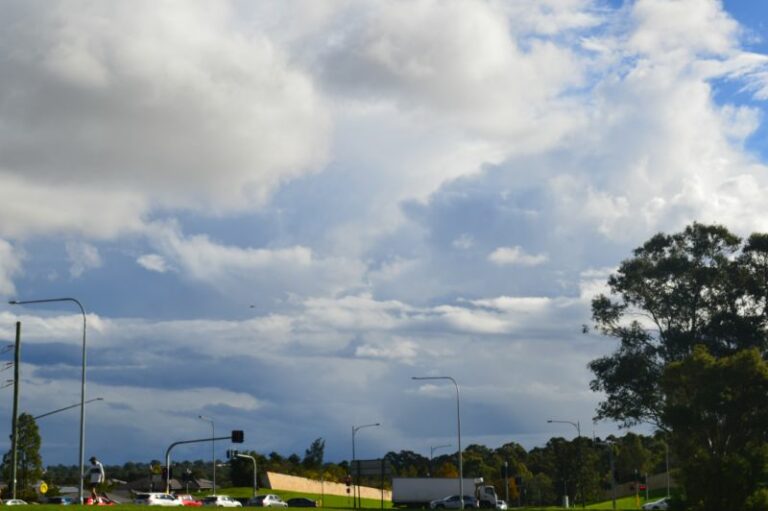
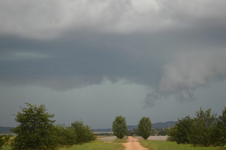
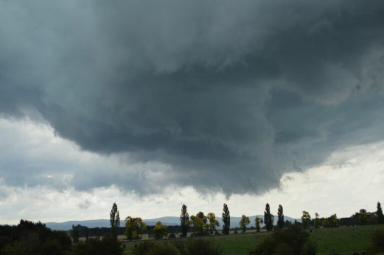
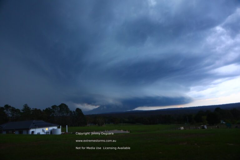
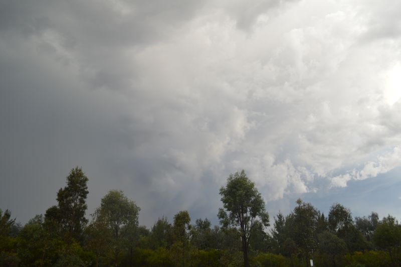
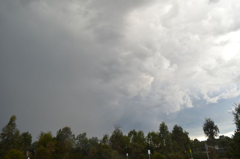
While no photos, I did get to experience the Western Sydney thunderstorm. I stopped afterwards to get some photos of cloud structure on its western side at sunset.
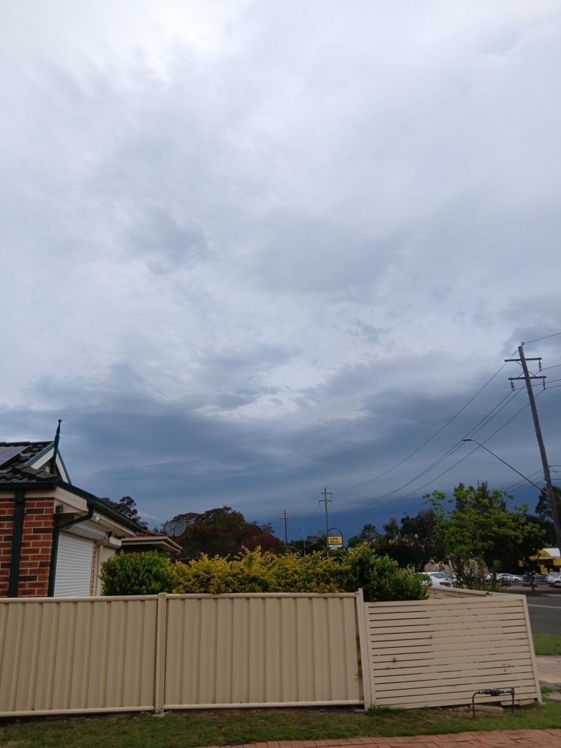
My wife was able to take one photo of the approaching storm at Doonside showing the distant shelf cloud ahead of it which is what I would have expected. At least I was able to obtain a good account of what occurred.
I did not encounter hail but I suspect a few of the stronger cells had hail cores.
Official rainfall totals from the event across Blacktown ranged from 17 to 27 mm. My home rain gauge registered 26 mm. Coupled with the earlier overnight rain, then 34 mm was recorded within my home rain gauge.