Today was expecting to be quietly a possibly significant event. A system passing through Victoria seemed to extend on some models an emergent upper trough with indications of negative tilt. The timing was perfect and the storms were developing along spiral bands as they developed and merged into embedded line segments. Severe thunderstorms were already in place and extended east during the afternoon.
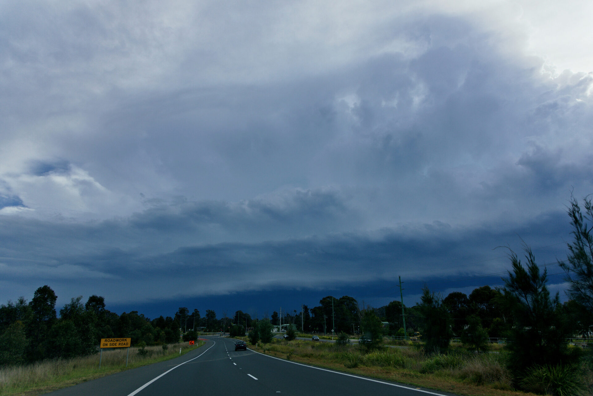
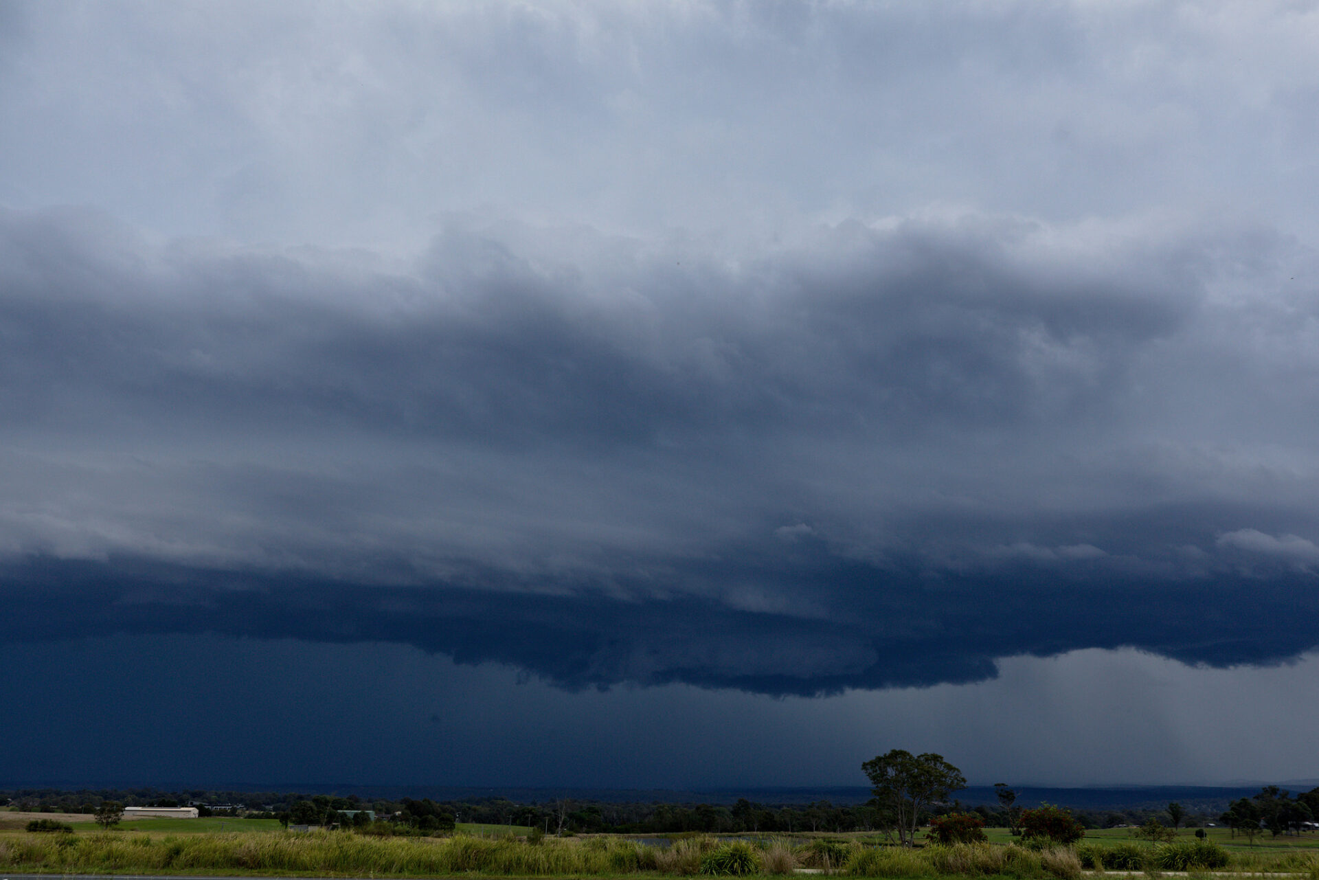
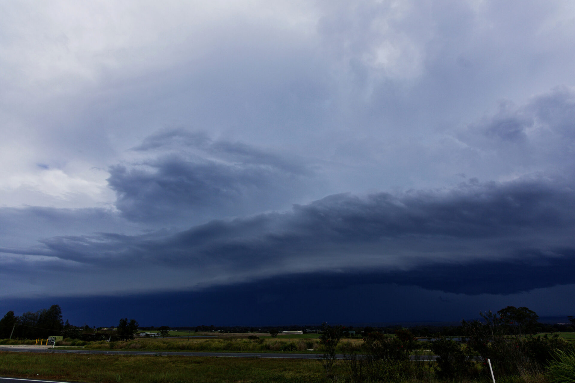
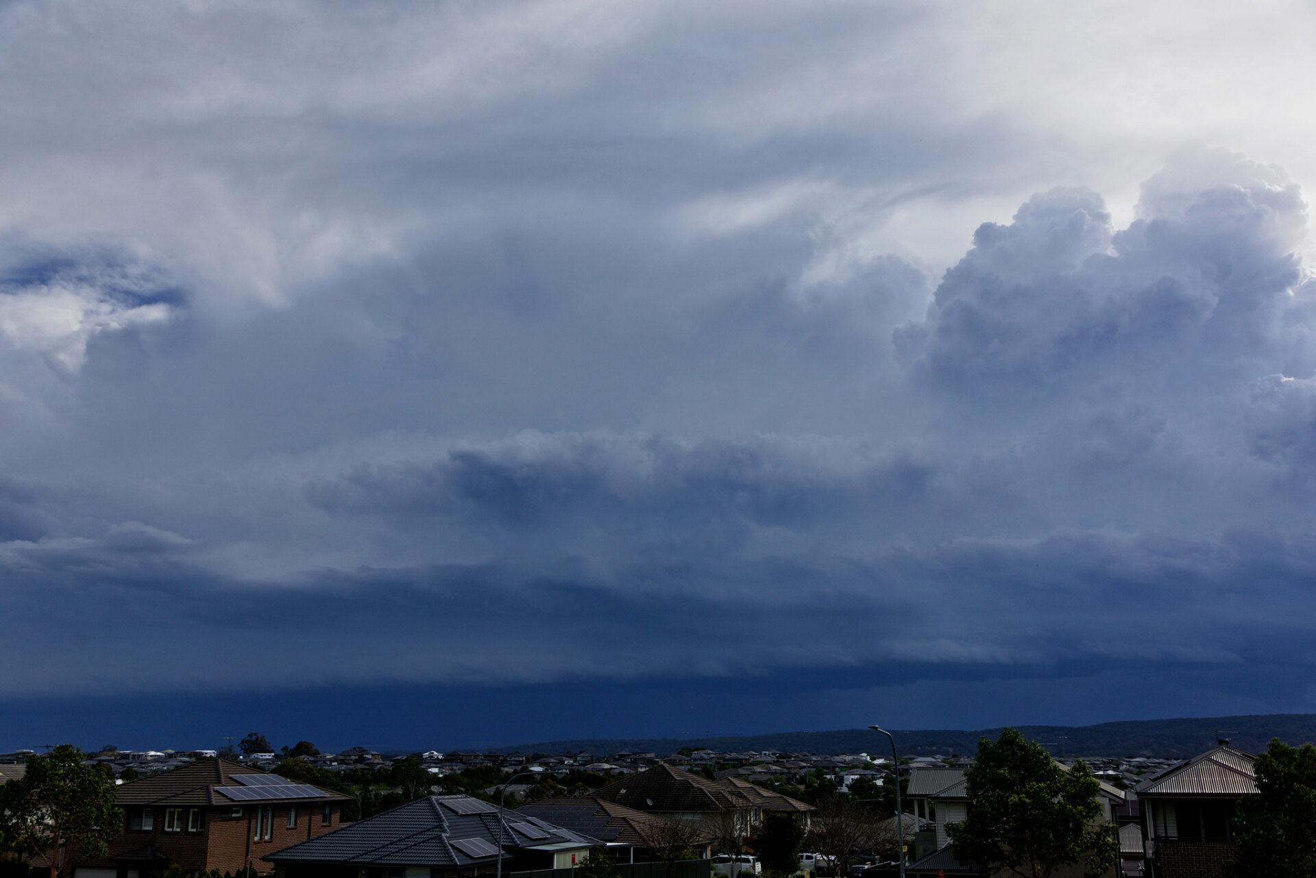
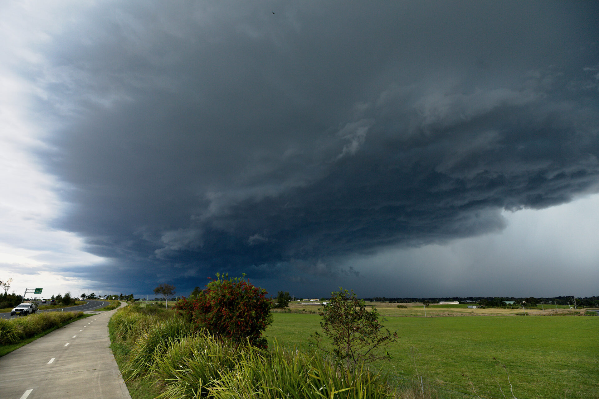
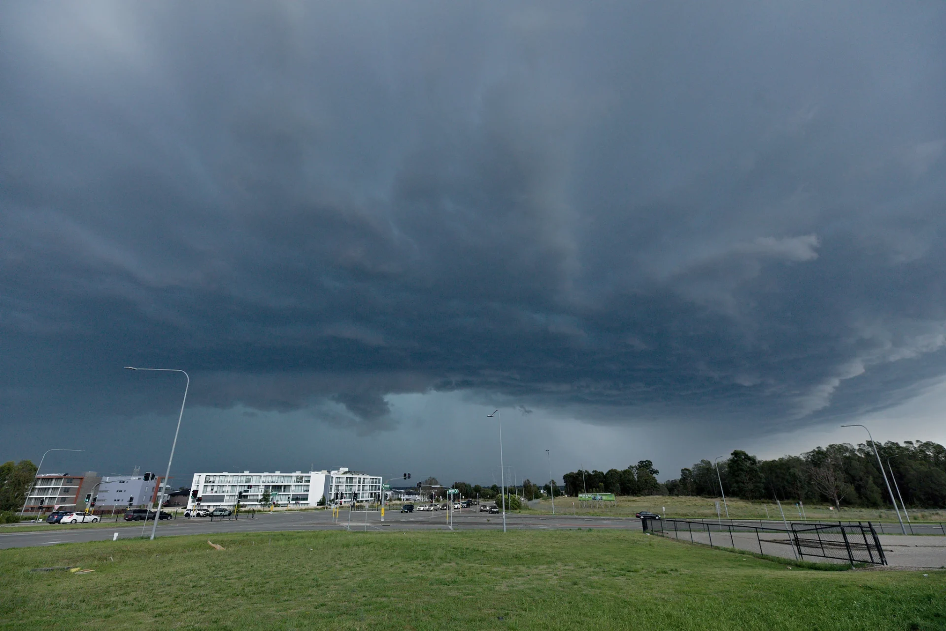
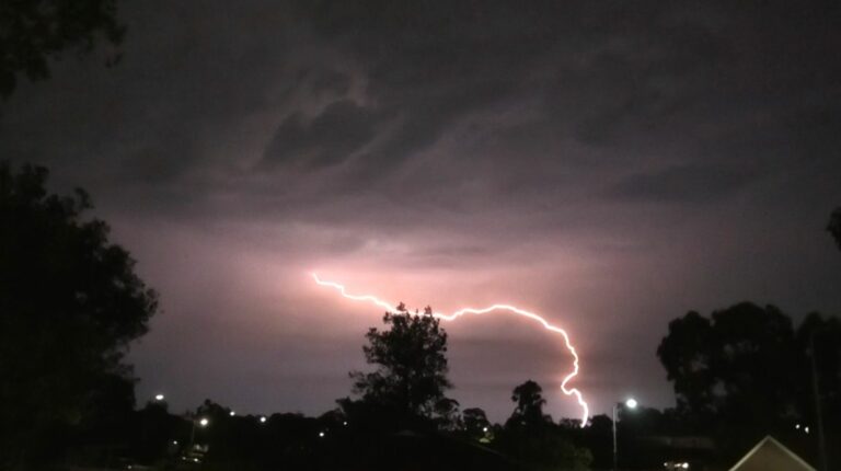
The first cells developed in the Central West, Southern Tablelands and Illawarra. Later further thunderstorms developed west and northwest of Sydney approaching Camden and Luddenham. Time for me to chase with developing cells showing signs of edging north along the line. The consolidated structure was clean and convective towering to pileus topped updrafts. There was rotation along the gust front one persisting for some time sufficient for time-lapse but alas anticyclonic! Lightning descended from the base but the occasional anvil lightning bolt kept me on my toes.
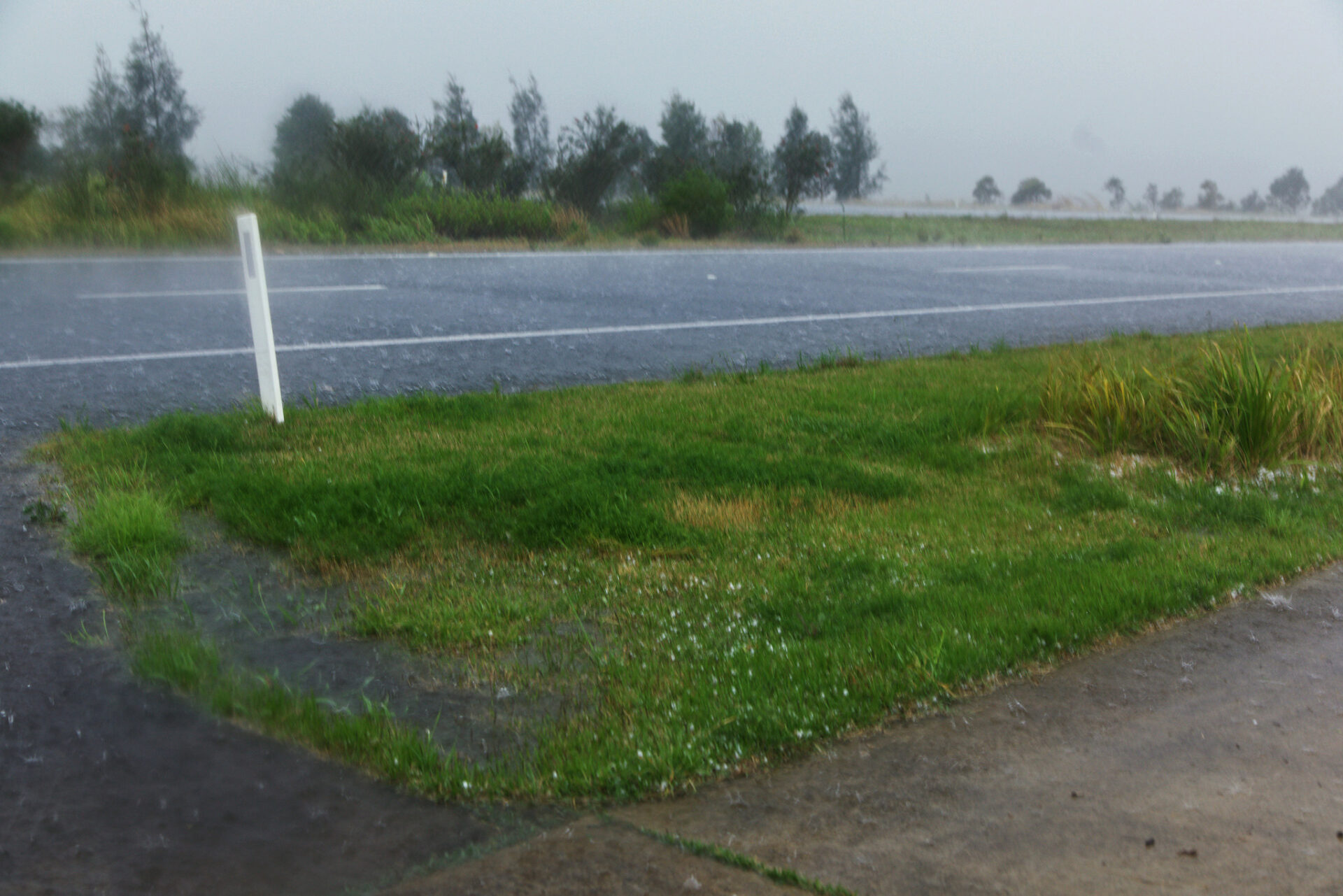
The winds hit first near Luddenham and then small hail with some larger stones to about 1 or 1.5cm. Heavy rain also reduced visibility for traffic along The Northern Road. Given the storms were moving at a decent pace, I made a move once the rain and hail eased and then proceeded to the new M12 motorway. It wasn’t long before I encountered the larger hail and thumps on the vehicle. Stopping on the side of the road in an inlet for several minutes the hail caught up. But alas I realised the storm had managed to proceed on a more SE track – making it impossible to stay with it.
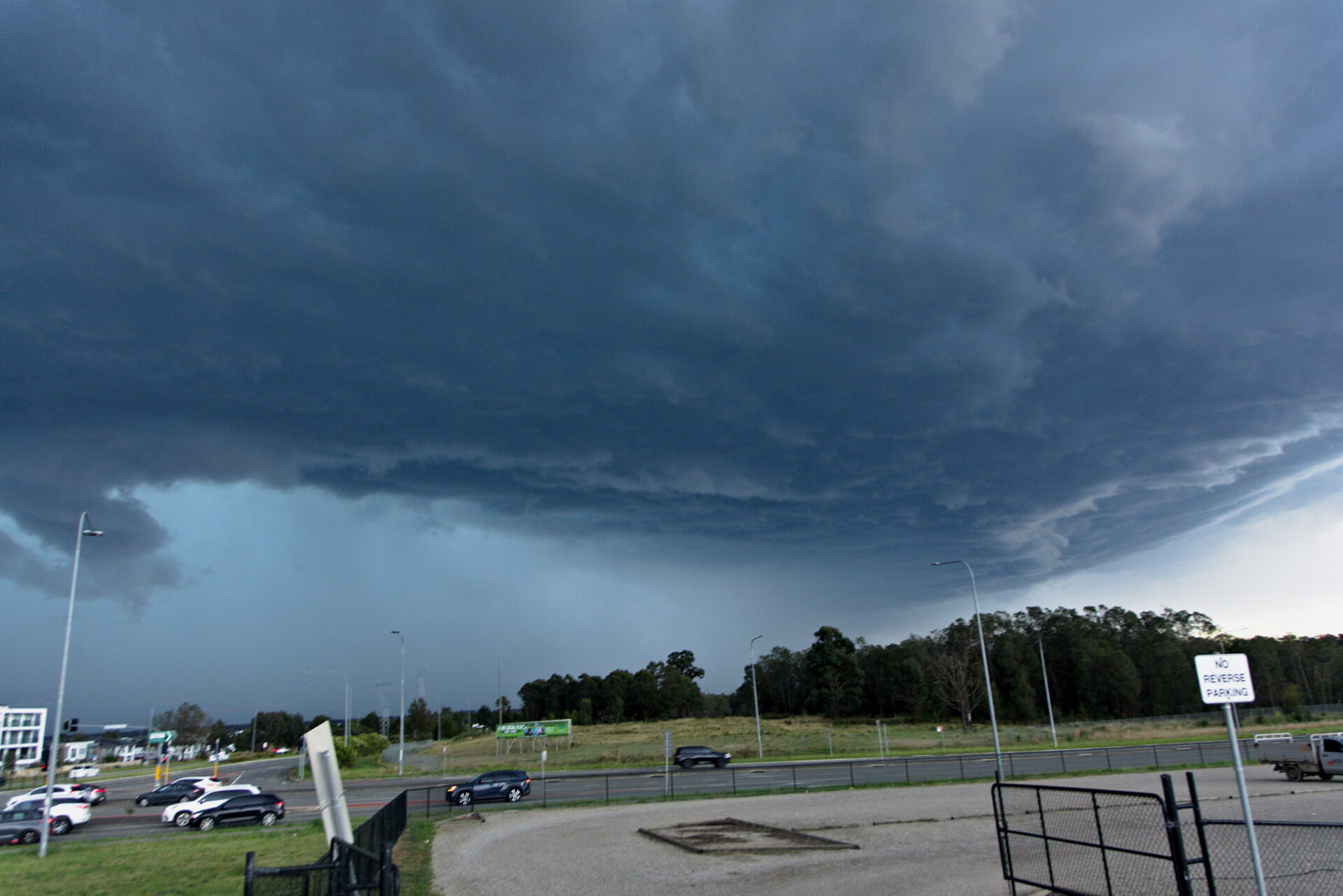
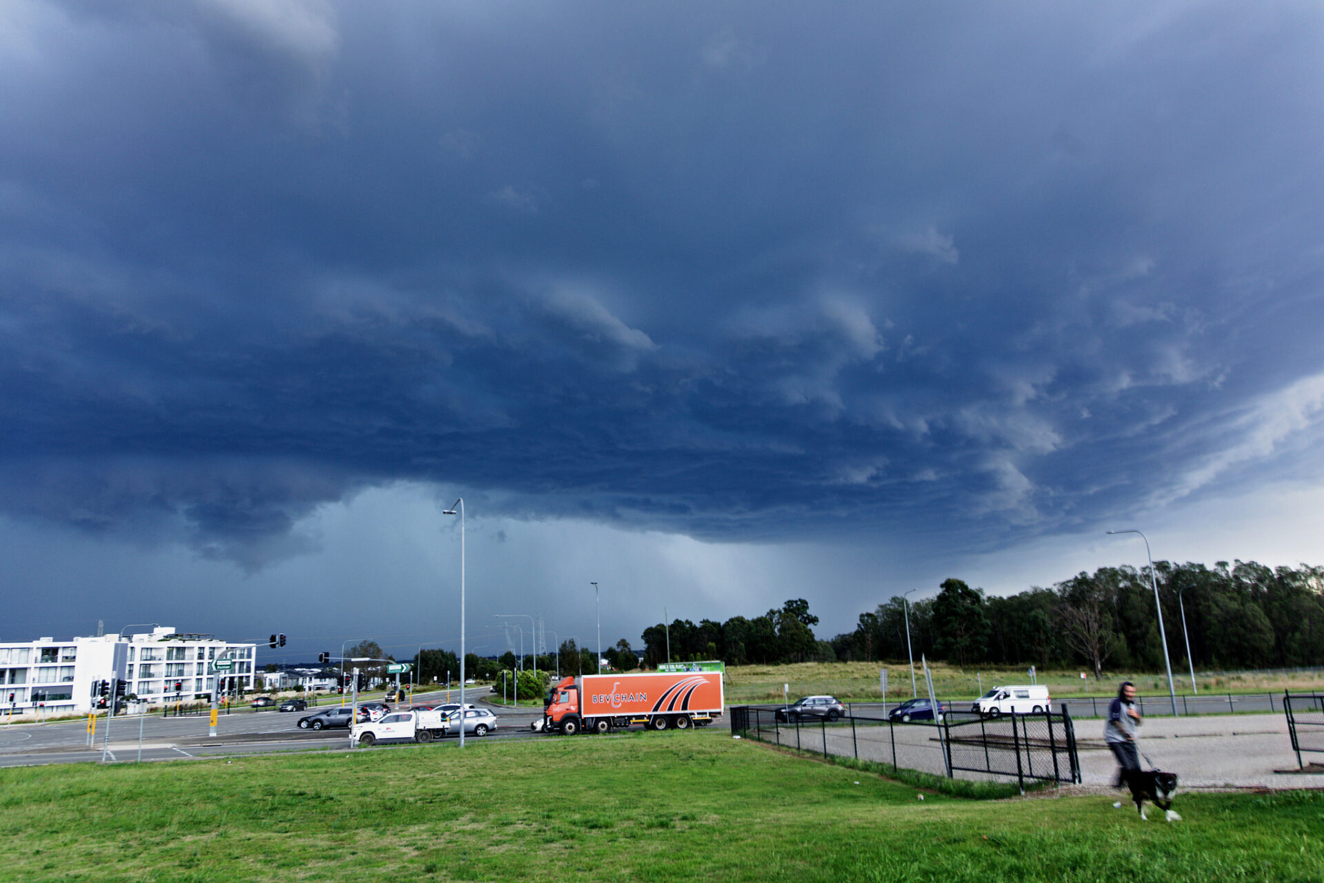
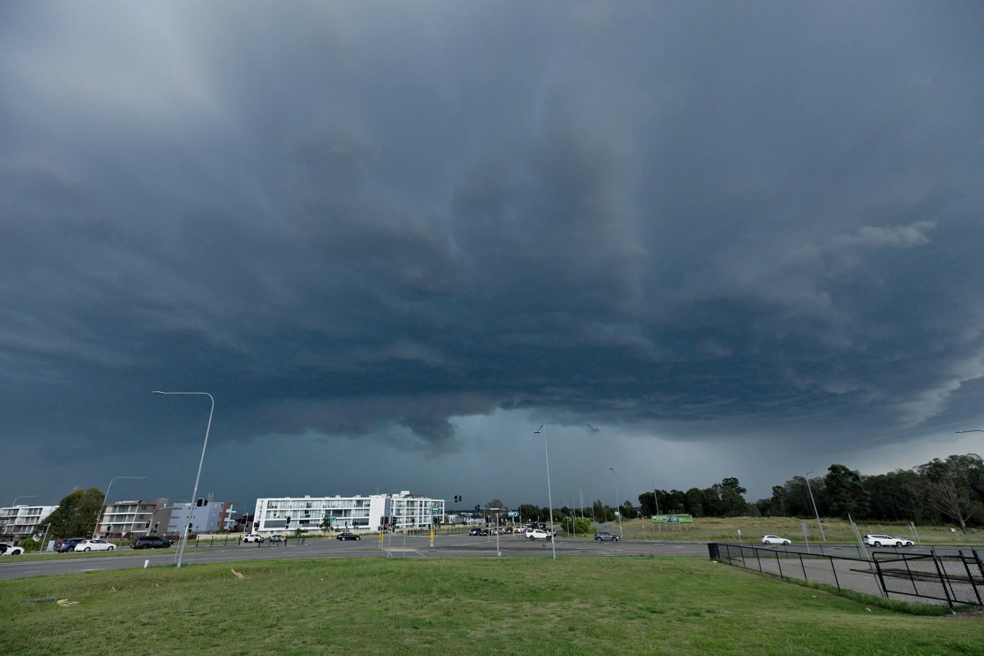
Another storm isolated from this line that had approached from near Lithgow Dave Crooks and I had sought to chase had weakened as I entertained the main line. This weakened storm however had finally encountered moisture and began to intensify as it hit the Sydney basin. I was already en route to Richmond Road in anticipation and after navigating traffic it was time to position in Marsden Park. The storm was showing rippled base features and beautiful structure. Lightning activity was increasing in this area.
The winds and heavy rain hit once again with near whiteout conditions. The hail should follow right? Alas – the anticipated dark core and anticipated hail was not to be – the storm suddenly had weakened overhead so hail was either elsewhere or non-existent by this stage. I noted that cold outflow from the southeast from the earlier activity may have undercut this cell. This cell also had briefly deviated slightly from the normal flow – the weakening trend once again coinciding with a normal northwest to southeast direction like the earlier cell on the M12.
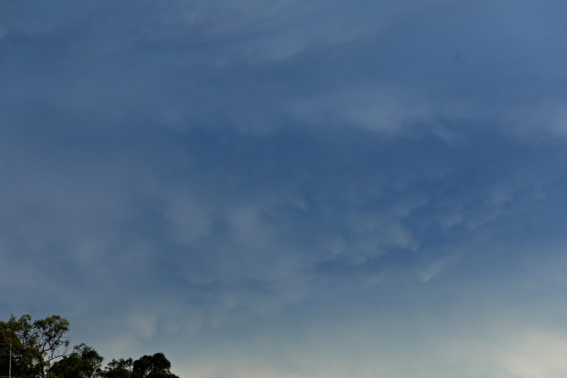
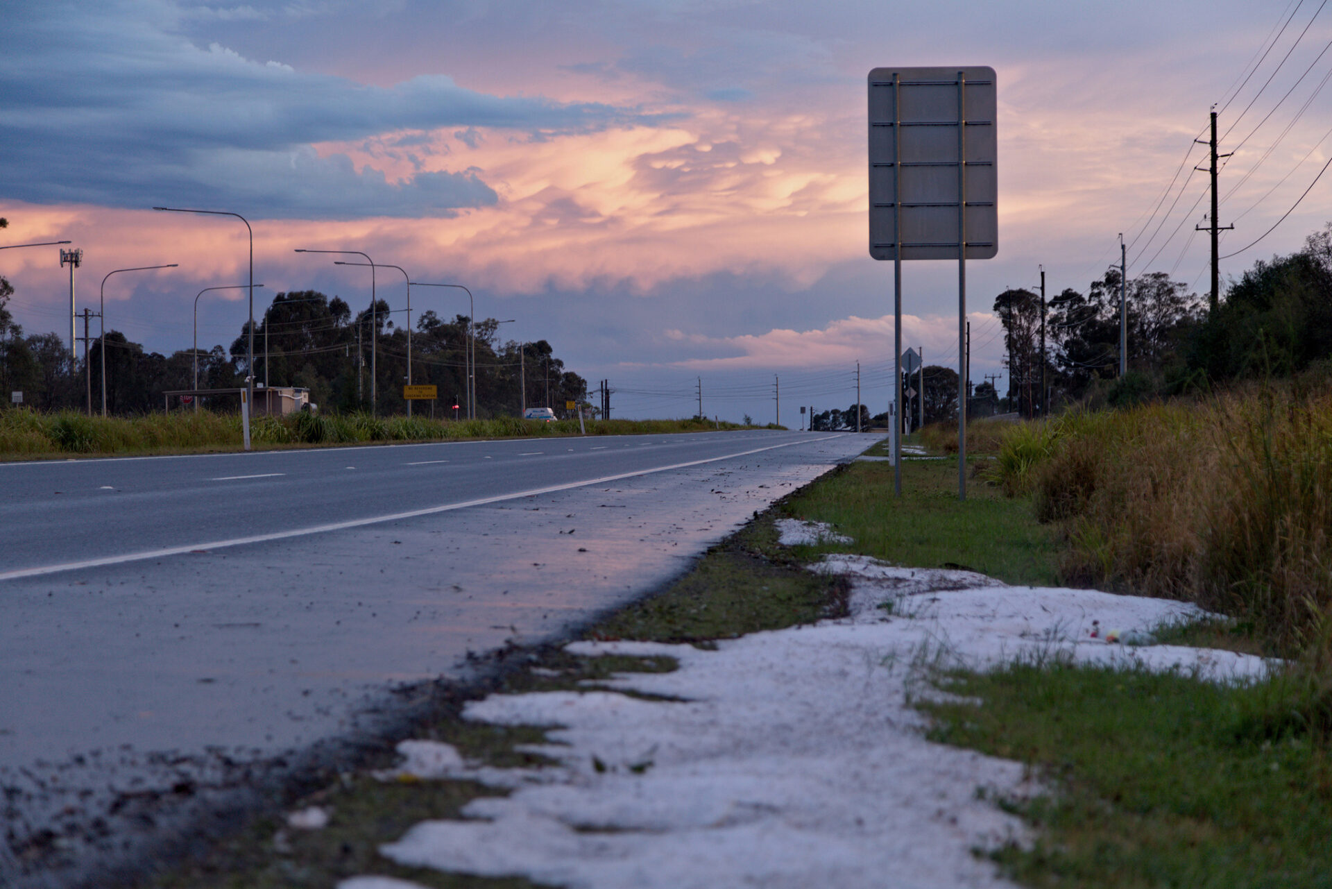
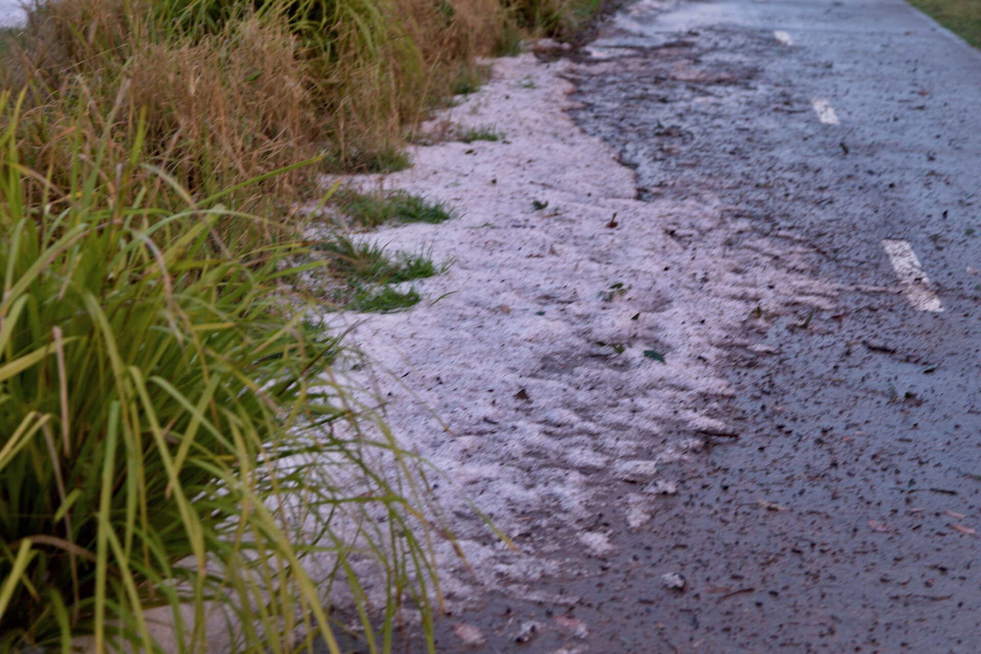
I made a last ditch attempt to follow the storm heading back east towards the M7. Lightning activity was relatively frequent particularly in the core. Heading down the M7 all the way back to the M12 the storm was drifting away. Heading off the M12 I suddenly thought there was froth from the road that sometimes occurs after long periods of dry and traffic. It was hail – patches of hail were still on the side of the road from the earlier storm – with about 1 hour or more having passed by this stage. This presented opportunities to measure hail preserved in the drifts. Copious 1cm hail with hail to 1.5 or 1.6cm and then I found a few isolated hailstones measured at 2cm confirming my earlier suspicions. Mammatus with a sunset provided a pleasant end to an early season chase surprise across Sydney.