The title of the heading sums up an incredible weather event experienced across eastern New South Wales during Saturday afternoon 5 September 2026.
In this regard, I was travelling back from Batemans Bay to Sydney Saturday afternoon.
I left Batemans Bay at 1 pm under clear skies with a very dry warm north west wind blowing and a temperature of around 27C being recorded across the region of the South Coast at that time.
Beyond Nelligen, I noticed the temperature starting to cool as cloud increased. As I drove up Clyde Mountain, the temperature fell to 19C but it was still sunny.
As I crested Clyde Mountain, I encountered powerful north westerly winds to such an extent that a few trees were felled. To such an extent, I had to doge one large fallen tree that had crashed onto the Kings Highway.
By the time I reached Braidwood 60 km from Batemans Bay, I had crossed through the cold front and the daytime temperature had plunged to 13C.
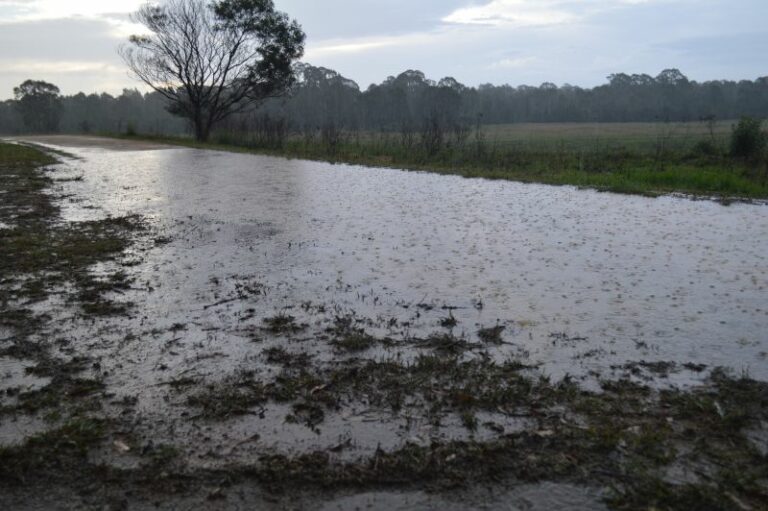
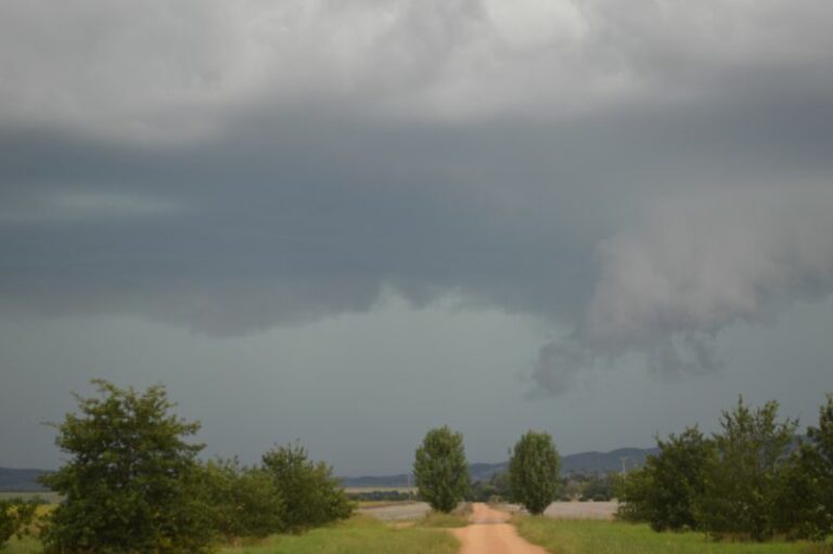
I had gone from 27C to 13C being a 14C temperature drop in the space of 1 hour between 1 pm and 2 pm. As I reached Braidwood, very cold light rain began to fall because I had intercepted the rain band that was accompanying the strong cold front.
I then drove north to Tarago in light to moderate rain and then onto Goulburn. Instead of the warm dry north westerly winds I had experienced at Batemans Bay, the cold south westerly winds experienced on the Southern Tablelands were rather cold and acutely different to what was occurring early that afternoon.
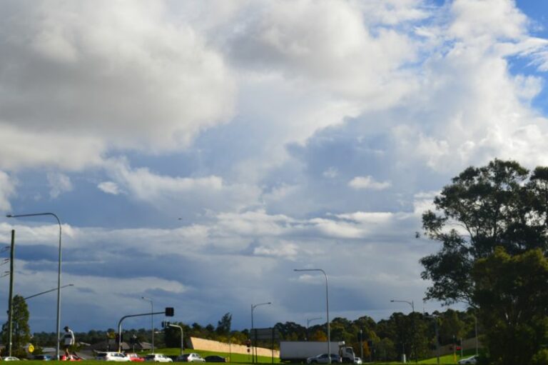
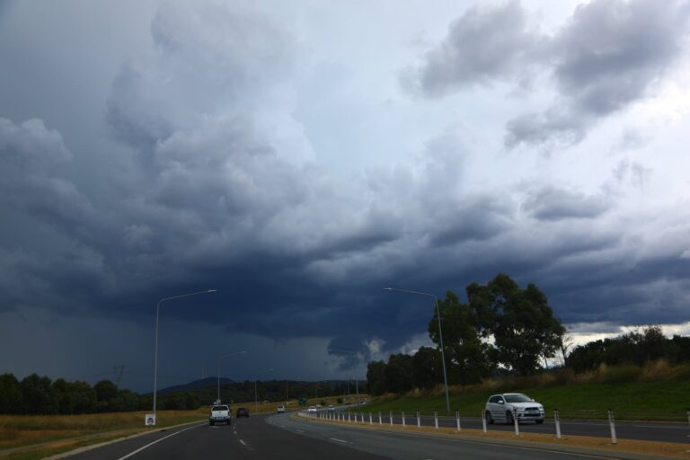
Across the Goulburn area, I watched the remaining rain band collapse and dissipate to broken cloud. Such conditions were then observed all the way back into Sydney.
A few hours previously, that rain band brought healthy rains across a small region of inland southwest New South Wales including 25 mm of rain at Albury Airport.
That same rain band brought almost 100 mm of rain to Falls Creek of northeast Victoria.
The same cold front that overtook me near Braidwood continued its track towards and into Sydney 2 or 3 hours later. The same front brought a shower and some powerful wind gusts across parts of Western Sydney including peak wind gusts of 113 km at Penrith between 3.52 pm and 4.01 pm. Thus, the conditions I experienced around Clyde Mountain and Braidwood were replicated elsewhere further north.
The contrast between the warm to hot air mass ahead of the cold front was stark and the state of New South Wales truly showed such contrast.
Ahead of the front at certain locations, maximum daytime temperatures soared to 30C or higher. During Saturday, maximum temperatures soared past 30C across most of Sydney (The earliest 30C day I have seen for Sydney for September). This included:
- Penrith – 33.1C.
- Sydney Olympic Park – 32.8C.
- Horsley Park – 32.5C.
Other parts of the state ahead of the front also experienced 30C maximum temperatures including:
- Walgett – 34C.
- Moree – 32C.
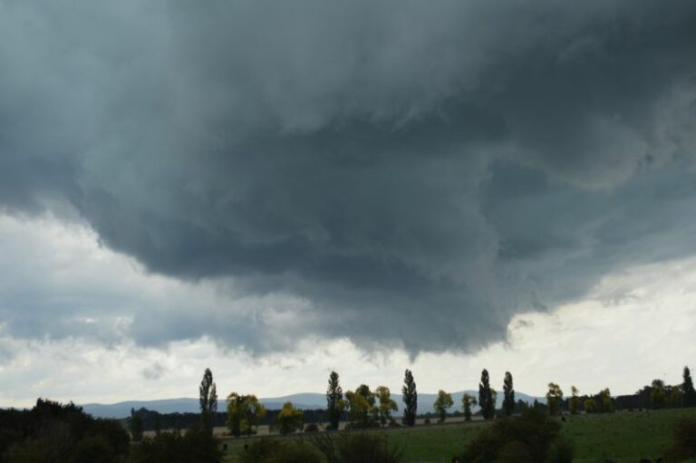
As the front past over, a short period of gales occurred and a few trees were brought down.
Several peak wind gusts of 113 km/h were recorded at Penrith and a peak gust of 91 km/h was recorded at Warragamba in Sydney’s outer west.
Following the passage of the front, conditions soon settled down.
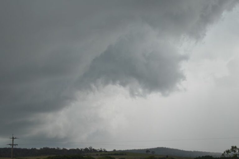
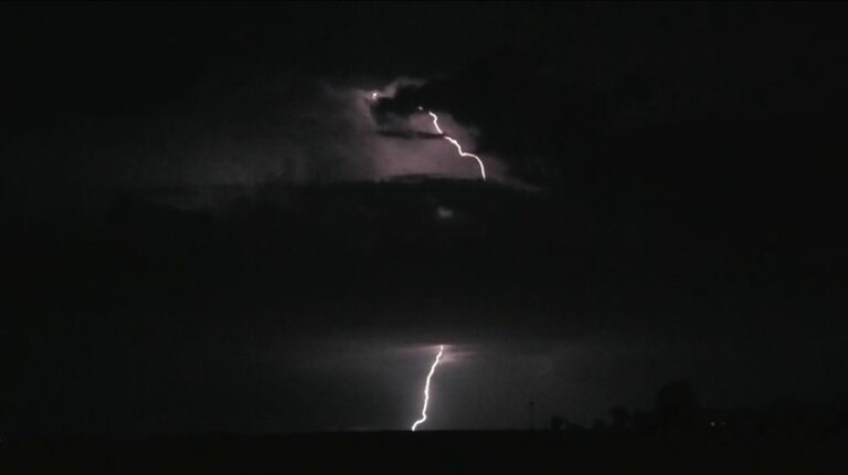
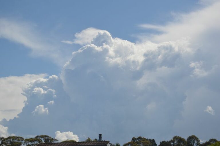
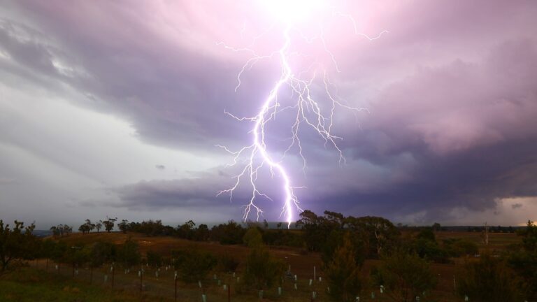
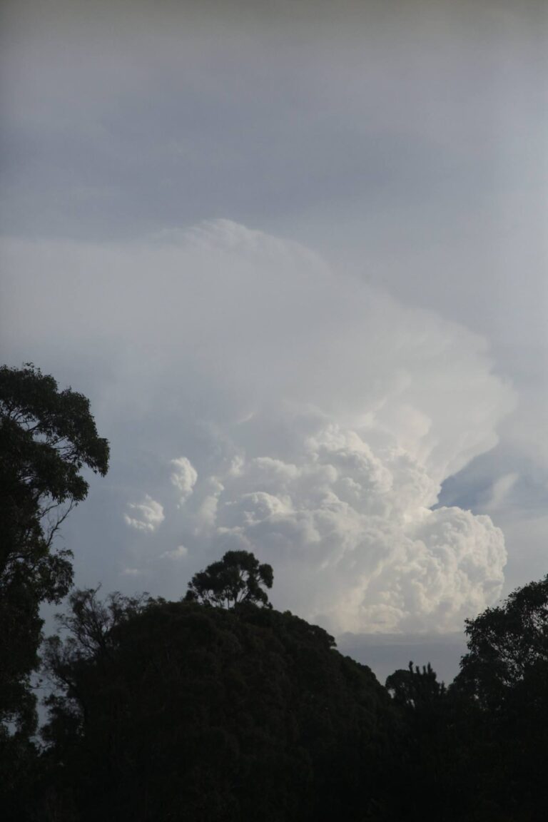
During my travel towards Sydney, I did observe a distant cumulonimbus cloud which would indicate an isolated thunderstorm developing with the front but well to the north.
The first change for September and spring 2026 was rather strong and produced an array of contrasting weather conditions which is not often seen across the state.
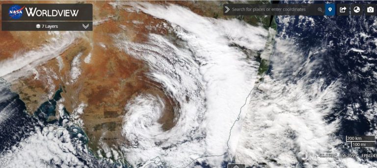
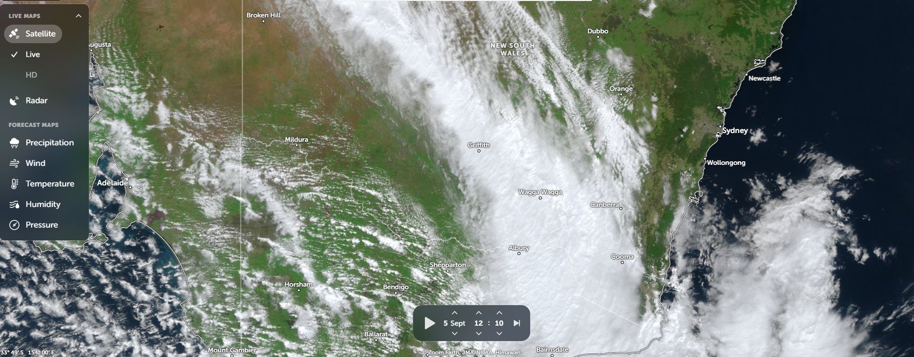
I have attached NASA’s Zoom Earth image of the cloud mass accompanying the change as it progressed into eastern New South Wales midday Saturday.