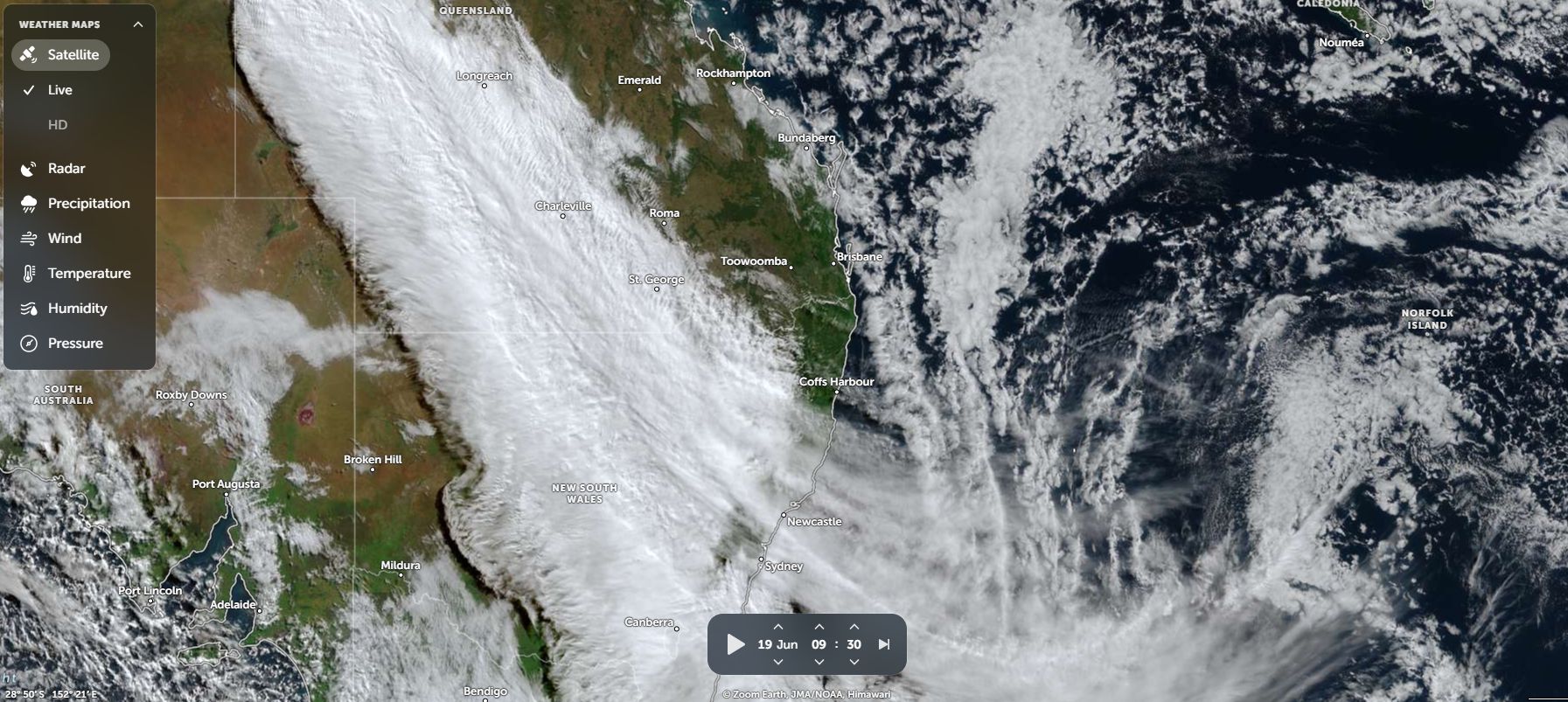
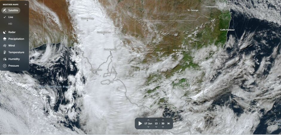
The NASA Zoom Earth images of Wednesday June 17 and Friday June 19 shows an extensive amount of cloud passing through South Australia, New South Wales and Victoria.
This was part of a northwest cloud mass that developed over western areas of South Australia, then passed over much of Victoria and New South Wales during Thursday and Friday.
The cloud mass did produce widespread rainfall across three states and across areas that have experienced recent drought conditions.
This has been a useful event especially given that an El Nino event is now likely to unfold in coming months that has potential to curb rainfall.
The cloud mass has delivered solid rainfall across large areas of southern South Australia and indeed the city of Adelaide has seen in excess of 100 mm of rainfall for June 2026 to date.
At Adelaide Airport, the weather observations reveal:
- 113.6 mm of rainfall to Sunday 21 June 2026 falling on 16 days.
- Only 5 days to date this month when no rainfall has occurred.
This follows 75 mm of rainfall for the month of May 2026 at the same weather station site.
It has been a wet start to winter 2026 for Adelaide city and a similar storey exists for much of southern areas of the state but concerns are being raised that such rainfall may not continue for much longer with weather models suggesting a drying trend starting to take shape for July, August and September.
The most recent cloud mass has assisted in boosting rainfall totals. In particular reasonable rainfall totals occurred from the most recent event and the seven day accumulative totals for the state include but are not limited to:
- Leigh Creek Airport – 31.6 mm (Considering this is outback South Australia, this is a big fall for winter).
- Hawker – 37.3 mm.
- Ceduna – 49.2 mm – (Rare to see such high rainfall given the location of the town).
- Adelaide – 55.1 mm – (Rare to see such falls anywhere within Adelaide city).
- Tarcoola – 58.4 mm.
- Yardea – 60.4 mm.
- Wirrulla – 65.4 mm.
- Burnside – 68.4 mm.
- Happy Valley Reservoir – 85.4 mm.
- Puntabie – 91 mm – (A remote locality towards the north west of the state).
- Longwood Alert – 101.8 mm.
- Mt Lofty – 116.4 mm.
Southern areas of South Australia did particularly well from the event.
The cloud mass passed over Victoria and rainfall was lighter but there were some exceptions to this. The more rugged areas of Northeast Victoria did well from the cloud mass and cumulative 7 day rainfall to 9 am Saturday morning 20 June 2026 include:
- Dederang – 43.4 mm.
- West Wodonga – 44.2 mm.
- Strathbogie – 62.8 mm.
- Mt Buller – 80 mm.
- Falls Creek – 112.4 mm.
- Mt Hotham – 119 mm.
Generally, rainfall ranged from 40 mm to 60 mm across the hilly region of the northeast.
Very little rainfall penetrated into Gippsland due to the rain shadow effect.
Another area of Victoria that did well were some western areas of the Wimmera close to the South Australian state border. Here, rainfall ranged from “nil” to 60 mm.
In New South Wales, rainfall was more patchy. A few regions did well but at the same time, large areas received little or none and in the case for Sydney, only a brief light shower was observed Friday evening.
Within New South Wales, the best rainfall totals were:
- Tumbarumba – 37.6 mm.
- Grenfell – 38.8 mm.
- Thredbo Village – 104.7 mm.
- Thredbo AWS – 126.4 mm.
Many other totals were within the 10 mm to 20 mm range across the south eastern inland regions.
While a good start to the winter is now observed, weather models suggest a drying trend once again with forecast of below average rainfall for the next few months due to a developing El Nino event observed within the equatorial Pacific Ocean region.
It is doubtful that such rainfall will be sustained for much longer but only time will tell given what is occurring.