A period of hot weather has just concluded for much of eastern New South Wales in which maximum daytime temperatures have nudged or exceeded 40C at many locations. Further inland, it could be regarded as a heatwave given what has occurred over a period of 3 to 4 days.
For the past few days, maximum daytime temperatures across New South Wales have reached as follows as a sample:
| Town or city | January 4 | January 5 | January 6 |
| Albury (Airport) | 39.8C | 38.4C | Cool change with 27.8C and some rain. |
| Badgerys Creek | 34.1C | 39.4C | 40C (Briefly before afternoon cloud and late showers) |
| Broken Hill | 39.6C | 39.9C | 28.2C with dry cool change. |
| Horsley Park | 33.4C | 38.2C | 38.8C (Briefly prior to afternoon cloud and evening showers). |
| Parkes | 36.5c | 38.2C | 39.3C (Late cool change) |
| Pooncarrie
See note below. |
43C | 40.3C | 26.5C with a dry cool change. |
| Richmond | 34.7c | 38.8C | 39.2C |
| Scone | 35.5C | 38.4C | 39.3C |
| Singleton | 33.8C | 38.2C | 40.1C |
| Tibooburra
See note below. |
40.8C | 41.2C | 41.9C |
Pooncarrie – It reached 38C on the 3 January 2025.
Tibooburra – The weather station has recorded 4 days in a row with maximum temperatures above 39C with every day between January 1 and January 6 reaching more than 37.5C. With overnight minimums not falling below 23C, this could be regarded as a heatwave. This is typical and expected for this time of year given location and climate regime that occurs across northwest New South Wales.
In some locations such as areas around Bowral and Moss Vale, there have been showers and thunderstorms on each of the 3 days being the 4, 5 and 6 January. The showers and storm events have moderated maximum temperatures across the affected areas. The storm chase of Saturday 4 January 2025 has highlighted some of the thunderstorms that have occurred within this region.
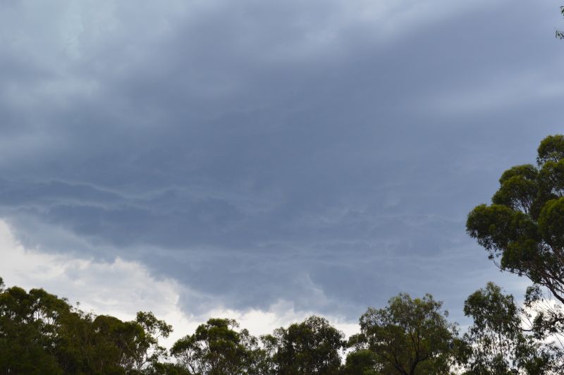
On all three days being the 4 to the 6 January, thunderstorm cells have easily been visible from Western Sydney to the south and west. The storms of January 5 were high based producing mainly late afternoon cloud with the remnant anvil cloud enveloping the larger Sydney area.

I did not chase these. A small but isolated thunderstorm cell developed near Mt Druitt that became lightning active for at least 5 to 10 minutes before weakening late afternoon. I spent some time documenting this cell as it moved north before weakening. The images attached to this post show the small storm in detail.
On January 6, maximum temperatures across Western Sydney peaked again between 38C and 40C for the second day in a row. Afternoon cloud that had built up to the west enveloped Sydney again which capped any further heating after 2 pm. Some high based afternoon showers and thunderstorm cells again developed to the south that provided relief to the heat.


The storms did not reach Blacktown or the Mt Druitt area and thus maximum temperatures stayed above 30 degrees until after 5 pm. During the evening, a further buildup of cloud marked a slightly cooler change. I did see lightning to the west at around 8 pm but this was too sporadic to film. Late evening showers after 9 pm provided further relief from the heat.


This turned to moderate showers at around midnight that provided falls of 10 to 14 mm across large areas of Sydney.
Early Tuesday morning, a heavy downpour of rain occurred that provided at least 21.7 mm of rain to my rain gauge for the 24 hours to 9 am Tuesday morning. While not an official rain gauge, it provides an idea of what occurred. This is the heaviest rainfall event in a while and marked the final chapter to the most recent weather event that has just concluded.
