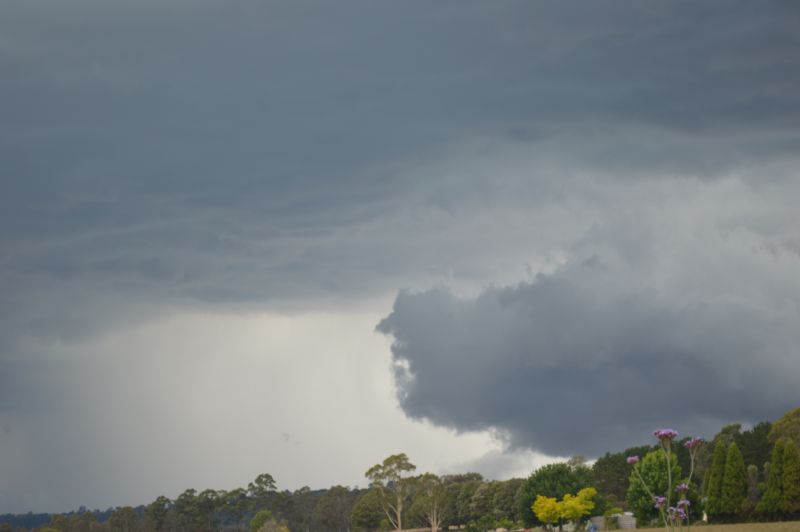
A sustained period of rain, thunderstorms, heat and flooding events has impacted large regions of southern and eastern Australia during the past 7 days. Some of the more interesting weather events that have occurred are:
1 - Western Sydney - A sustained period lasting 7 days where maximum daytime temperatures soared above 30C commencing on Friday 22 November and concluding on Thursday 28 November. This included two days in a row where maximum daytime temperatures soared to at least 38C or higher.
2 - A two day rain event across western New South Wales and northern and central Victoria that brought steady rainfall over the same area commencing on Sunday 24 November and concluding late Monday 25 November. The narrow rain band trained over the same region for hours producing reasonable rainfall totals to affected areas.
3 - Mildura Northwest Victoria - The city received 42 mm to 9 am Monday 25 November. This was the heaviest rainfall for 2024 to date for the locality. Mildura received a further 6.2 mm and 13.8 mm respectively to 9 am Tuesday 26 and Wednesday 27 November. It is rare to see rainfall occurring over 3 days for this part of Victoria.
4 - There have been two significant rain events across eastern and southern Australia for the period and both have brought widespread 20 to 30 mm rainfall totals with higher totals where thunderstorms have occurred.
5 - There have been numerous thunderstorm events for the period with the most significant events being severe thunderstorm as follows:
- Rutherglen (Northeast Victoria). A single thunderstorm on Tuesday afternoon 26 November brought destructive wind gusts reaching 119 km/h between 4.01 pm and 4.04 pm. The same storm brought a heavy rain shower of 11.2 mm between 3.30 pm and 4.04 pm. The storm caused damage to buildings and trees across town.
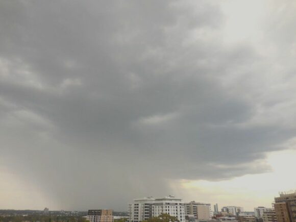
- Doonside to Botany Bay (Sydney) - A very small thunderstorm developed over Doonside which tracked southeast at speed Wednesday afternoon after 4.30 pm. The storm was compact and high based. It did produce gale force winds (Downbursts) as it passed over. The weather station at Sydney Airport recorded peak wind gusts to 89 km/h between 5.11 pm and 5.14 pm.
I managed to take a photo of the storm as it approached Auburn from the northwest then managed to intercept the core of the storm whilst driving along the M4 Motorway. A brief period of heavy rain and gales were encountered at the core but no hail.
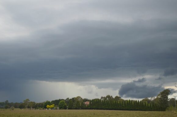
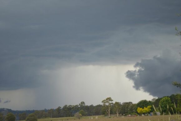
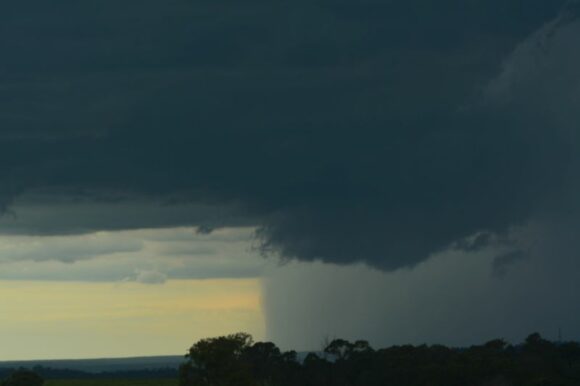
- Picton and Appin (Southwest of Sydney). A significant thunderstorm developed mid to late afternoon near Picton. As part of a storm chase, I intercepted the northwest portion of the storm south of The Oaks. My photos attached show the storm during its development. The images including the feature image shows the development of the base looking south and east.
I could clearly make out intense rain, hail and gales being produced by the thunderstorm. The thunderstorm caused damage around Appin and trees were brought down.
6 - A widespread rain event developed over inland New South Wales and Victoria during Friday evening and into Saturday morning. Widespread falls of 20 to 40 mm occurred across affected regions. For some regions such as southwest New South Wales, the second event follow up falls were certainly welcome given that much of the region was experiencing relatively dry conditions.
The heaviest falls from the second event to 9 am Saturday include:
New South Wales
- Yambla (Near Tabletop southern New South Wales) - 40 mm
- Temora Airport - 54 mm.
- Randwick - 57 mm.
- Condobolin - 61 mm.
- Albion Park - 73 mm.
- Cronulla South - 85 mm - There were news reports of local flooding occurring across parts of southern areas of Sydney Friday evening)
- Yellow Rock - 100 mm (Illawarra region).
Victoria
- Wangaratta - 43.2 mm.
- Strathbogie - 50 mm.
- Telfords Bridge - 53 mm.
Widespread falls of 20 to 40 mm fell across large regions.
Thursday afternoon storm chase
The photos attached to the post are taken during a storm chase across outer southwestern Sydney and Picton. As part of the chase, I was able to document a storm that had a base to the west of Silverdale. The base fell apart and rained itself out over inaccessible areas to the west. There was constant thunder from its anvil at one stage.
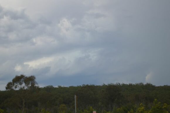
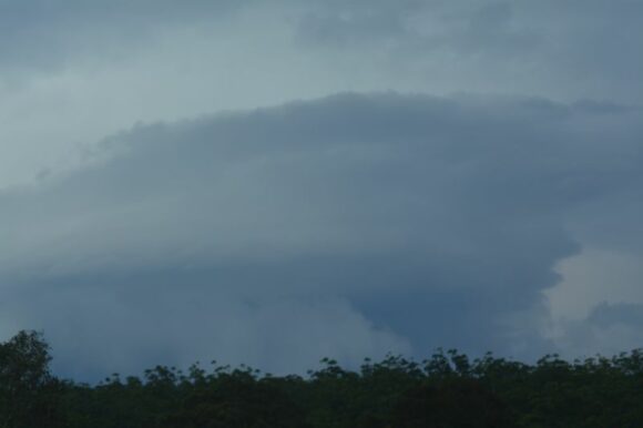
I left the area only because the storm went into a weakening phase. I travelled south to The Oaks where I intercepted a much stronger thunderstorm as seen in the photos.
Following this, I drove into Picton then to a lookout north of town where I observed a storm coming towards me which was linear. I made attempts to obtain images of lightning flashes despite the low number of lightning flashes being observed.
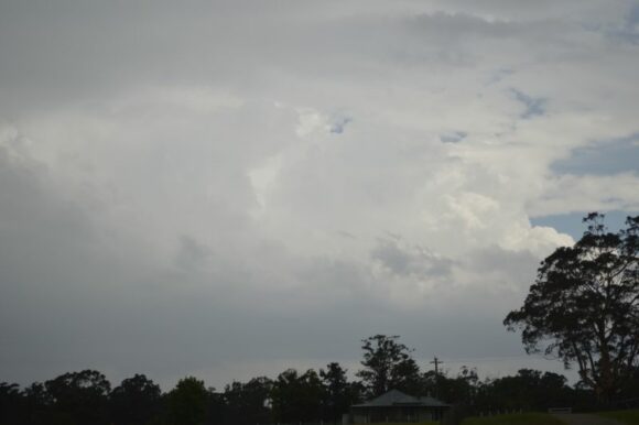
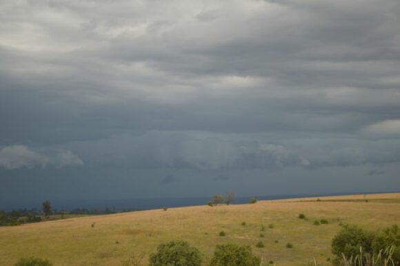
I let the storm pass over me. Again, no hail but moderate to heavy rainfall was observed. I then traveled north to Narellan where I broke out of the storm. Traveling north on the Camden Bypass, I then intercepted a separate storm cell that had formed ahead of the main line. The storm provided a burst of torrential rain with some strong winds. I noted numerous drivers pulling over due to the treacherous driving conditions being encountered.
I continued north breaking out of this storm and eventually returned home prior to sunset. None of this storm activity made it any further north than Camden.
The highlight of this storm chase was the Picton / Appin thunderstorm which I watched form, peak in intensity then weaken to the west of Wollongong.
