
Floods · Hailstorms
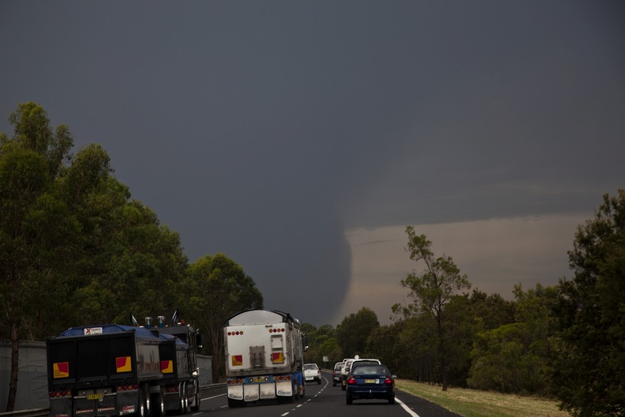
Explosive Storms Developed across Sydney 3rd December 2014
More storms near Horsley Park, NSW
 Severe Hailstorms and Wind Luddenham 3rd October 2026
3 Oct 2026 · Sydney, NSW
Severe Hailstorms and Wind Luddenham 3rd October 2026
3 Oct 2026 · Sydney, NSW
 Hailstorms Western Sydney and Lower Blue Mountains
26 Sep 2026 · Sydney, NSW
Hailstorms Western Sydney and Lower Blue Mountains
26 Sep 2026 · Sydney, NSW
 First Storm and Hail Event for Season 2026-2027 – Western Sydney – Friday 25 September 2026
25 Sep 2026 · Doonside, NSW
First Storm and Hail Event for Season 2026-2027 – Western Sydney – Friday 25 September 2026
25 Sep 2026 · Doonside, NSW
 Warm Weekend with 30C Maximum Daytime Temperatures – Western Sydney 19 and 20 September 2026
20 Sep 2026 · Western Sydney, NSW
Warm Weekend with 30C Maximum Daytime Temperatures – Western Sydney 19 and 20 September 2026
20 Sep 2026 · Western Sydney, NSW
 A Week of Rain – Eastern New South Wales and Queensland – May 24 to 29
31 May 2026 · Eastern NSW
A Week of Rain – Eastern New South Wales and Queensland – May 24 to 29
31 May 2026 · Eastern NSW
 Storm Chase and Spectacular Thunderstorm Cell Camden NSW – Thursday 26 March 2026
27 Mar 2026 · Camden, NSW
Storm Chase and Spectacular Thunderstorm Cell Camden NSW – Thursday 26 March 2026
27 Mar 2026 · Camden, NSW
 Camden to Campbelltown Hailstorm 26th March 2026
26 Mar 2026 · Sydney, NSW
Camden to Campbelltown Hailstorm 26th March 2026
26 Mar 2026 · Sydney, NSW
 Significant Western Sydney Afternoon Thunderstorm with Large Hail – Saturday 21 March 2026
21 Mar 2026 · St Marys, NSW
Significant Western Sydney Afternoon Thunderstorm with Large Hail – Saturday 21 March 2026
21 Mar 2026 · St Marys, NSW
 Heavy Showers Cause Localised Flooding Across The Sydney Region – 18 and 19 March 2026
20 Mar 2026 · Sydney, NSW
Heavy Showers Cause Localised Flooding Across The Sydney Region – 18 and 19 March 2026
20 Mar 2026 · Sydney, NSW
 Intense Rainstorm / Thunderstorm Impacts Parts of Western Sydney – Hornsby to Horsley Park – Saturday Evening 7 March 2026
8 Mar 2026 · Horsley Park, NSW
Intense Rainstorm / Thunderstorm Impacts Parts of Western Sydney – Hornsby to Horsley Park – Saturday Evening 7 March 2026
8 Mar 2026 · Horsley Park, NSW
 Late thunderstorm Outer Western Sydney – Monday 9 February 2026
13 Feb 2026 · Outer Western Sydney, NSW
Late thunderstorm Outer Western Sydney – Monday 9 February 2026
13 Feb 2026 · Outer Western Sydney, NSW
 A Contrast of Two Storms Across Western Sydney – Saturday 31 January and Sunday 1 February 2026
6 Feb 2026 · Western Sydney, NSW
A Contrast of Two Storms Across Western Sydney – Saturday 31 January and Sunday 1 February 2026
6 Feb 2026 · Western Sydney, NSW
All storm reports from Horsley Park, NSW →
Also on 3 December
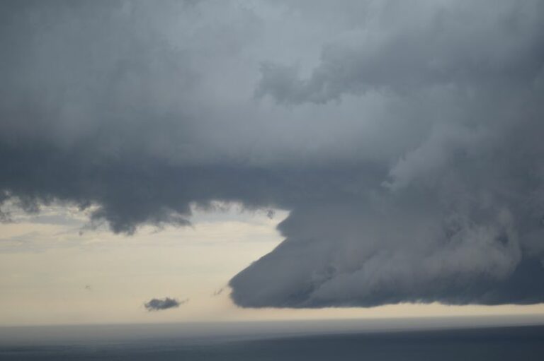 Storm chase and severe storms Southern Highlands to Sydney – Sunday 1 December 2024
3 Dec 2024 · Picton, NSW
Storm chase and severe storms Southern Highlands to Sydney – Sunday 1 December 2024
3 Dec 2024 · Picton, NSW
 Some shows from the long tracked storm that went through Penrith through to central coast this was the first component of my chase near Glenmore Park…
3 Dec 2023 · Penrith, NSW
Some shows from the long tracked storm that went through Penrith through to central coast this was the first component of my chase near Glenmore Park…
3 Dec 2023 · Penrith, NSW
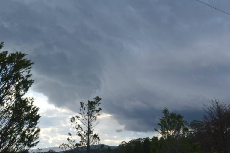 Storm chase and hailstorms – Mittagong and areas south of Sydney – Saturday 2 December 2023
3 Dec 2023 · Mittagong, NSW
Storm chase and hailstorms – Mittagong and areas south of Sydney – Saturday 2 December 2023
3 Dec 2023 · Mittagong, NSW
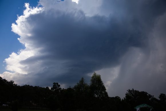 Richmond Lower Blue Mountains Hailstorm 3rd December 2021
3 Dec 2021 · Richmond, NSW
Richmond Lower Blue Mountains Hailstorm 3rd December 2021
3 Dec 2021 · Richmond, NSW
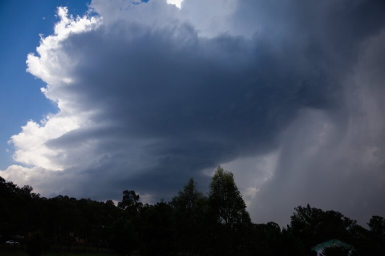 Followed the lower mountains storms today but then later went to the western side following the boundary. Unfortunately, the atmosphere seemed content…
3 Dec 2021 · Richmond, NSW
Followed the lower mountains storms today but then later went to the western side following the boundary. Unfortunately, the atmosphere seemed content…
3 Dec 2021 · Richmond, NSW
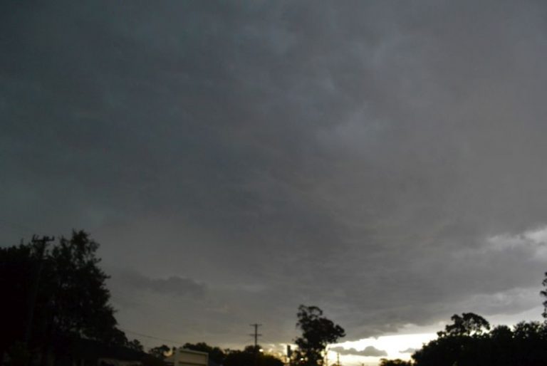 Tuesday afternoon storms with small hail 1/12/2020
3 Dec 2020 · Sydney, NSW
Tuesday afternoon storms with small hail 1/12/2020
3 Dec 2020 · Sydney, NSW
 Comparison of the Wollemi / Mt Yengo fire 3rd December 2019
3 Dec 2019 · Wollemi / Mt Yengo fire, NSW
Comparison of the Wollemi / Mt Yengo fire 3rd December 2019
3 Dec 2019 · Wollemi / Mt Yengo fire, NSW
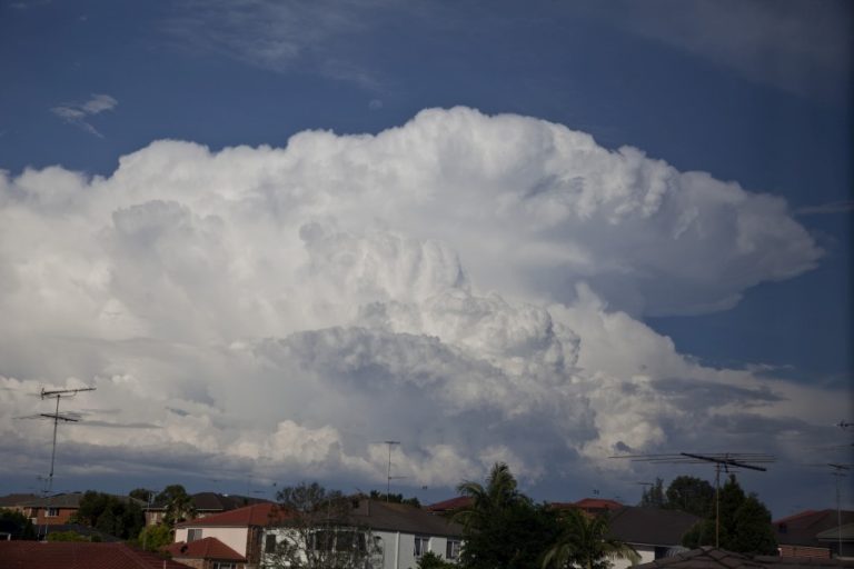 Storm Cells Sydney and Central Coast 2nd December 2014
3 Dec 2014 · Blacktown, NSW
Tropical Cyclone Abele : December 2010
3 Dec 2010 · West Island, Cocos (Keeling) Islands, CC
Argentina Tornado Videos!
3 Dec 2008 · Argentina (Pampas), CÓRDOBA, AR
Storm Cells Sydney and Central Coast 2nd December 2014
3 Dec 2014 · Blacktown, NSW
Tropical Cyclone Abele : December 2010
3 Dec 2010 · West Island, Cocos (Keeling) Islands, CC
Argentina Tornado Videos!
3 Dec 2008 · Argentina (Pampas), CÓRDOBA, AR
9 comments
Add a comment
You must be logged in to post a comment.
Great report there Jimmy, I managed to get to a local park in parramatta to see the storm over Horsley park .At around 4:40 it had quite a decent low level inflow band coming in from the east. Certainly showed quite good greenage . Strong outflow winds were followed by intense rain and lightning, a characteristic of many bolts was intense pulsing of the strike.
I’ve included two shots of a strike that pulsed at least 4 times. You can see it change direction as it switches back a quarter of the way down the channel.
As discussed with Jimmy after the event, I was unable to see what occurred at Richmond or North West of Sydney however after I left work, I went up to the roof top of the Auburn City Council car park being a 9 storey building and had uninterrupted views of the event.
This was a better outcome rather than deal with Sydney peak hour traffic.
This was the first time I had seen such a storm event play out across Western Sydney from the roof top car park.
I did not see the storm initiate but I did see an interesting shelf cloud approach from the west and south west. The storm seemed to move slow but had a general north east direction.
I did see numerous cloud to ground lightning strikes as the storm system approached and I even saw distant green flashes as power lines or electricity substations suffered lightning strikes. I saw at least two occur.
Another feature at Auburn was the large shelf cloud that was evident. The shelf cloud enlarged in size as it crossed west to east and further east, it seemed to partially detach from the storm. However, I did not risk taking photos and running across the roof top because some rather close lightning strikes had occurred.
One such strike occurred on a crane near or adjacent to the Al Faisal College some 300 metres to the south of me and that produced a massive thunderclap.
I also recorded three lightning strikes hitting a crane 390 metres from me on a development site at 6 to 14 Park Road which was interesting. I will describe that later.
The rainfall built in intensity relatively slowly so it was not a downpour to begin with. However heavy rain did eventually fall as the main core passed over. I did not experience any hail. There was wind from downdrafts.
I provide another picture of the base of the storm as it approached.
At the time the photo was taken there was a large rain free base and it was relatively large.
During this event and it must be a highlight, I captured three rapid succession lightning strikes on a crane situated at 6 to 14 Park Road. The images show the strike wrapping around the crane and two big strikes.
The crane is on a development site only 390 metres to the west north west and two city blocks away.
This morning, Council officers contacted the owner regarding the matter and the crane was checked for damage. It was confirmed that it did not sustain any significant damage. This highlights that one should never stand underneath cranes during storm events.
This is the first time, I have managed to capture such an event.
The final strike on the crane.
What makes this sequence interesting is that the development site is next to Auburn Central being a residential flat building complex and a shopping centre below. With so many metal objects and telecommunication facilities in the area, it is amazing that the strike did not connect with the building so close to the crane.
This thunderstorm produced some heavy rain but the heaviest falls were confined to Blacktown and nearby suburbs with falls of 50 mm to 56 mm. This includes 52 mm at Prospect, 54 mm at Merrylands West and 44 mm at Horsley Park.
I have provided the rainfall plot for Sydney till 7 pm 3/12/2014. This is not the final figure for the 24 hours till 9 am 4/12/2014. It is the figure taking into account the storm event.
There are areas that received little or no rainfall from this.
I understand there was hail further west from this but at Auburn no hail occurred.
Finally on the way home, I did pass through two intersections where traffic lights were blacked out on the Great Western Highway and I did note numerous fire trucks attending to emergencies created by this event.