Michael and I chased from Vernon to SW Oklahoma and intercepted supercells - some with moderate to strong rotation. One mesocyclone almost produced a tornado some distance west of Lawton. The structure on these supercells was very nice HP with inflow and beaver tails. 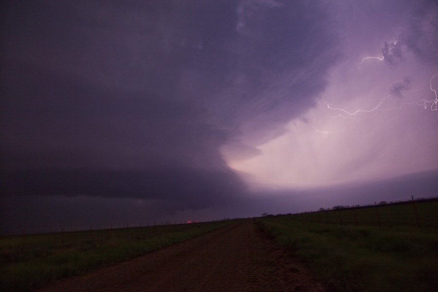
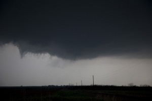
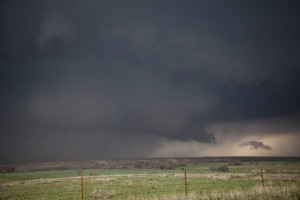
We dropped to the last supercell west of Granfield, Oklahoma with a beast tail end Charlie discrete supercell moving east. The inflow was very strong and a tornado was reported. We did not visually see the tornado. It looks like we may have been about 5 to 10 minutes after the report for the tornado and arrived in a good position for structure shots 20 minutes after the tornado report.
There were other interesting structure shots closer as the storm headed east of Granfield as well as suspicious lowering bases. I wonder if there were any other reports.
The night time lightning shots illuminating the structures were amongst the best I have ever captured. Very few opportunities have presented themselves in recent years.

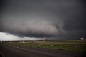
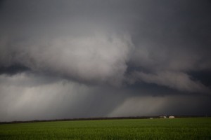
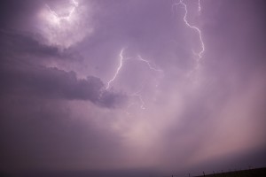
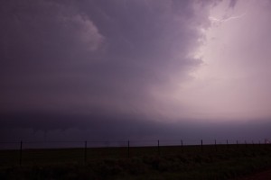
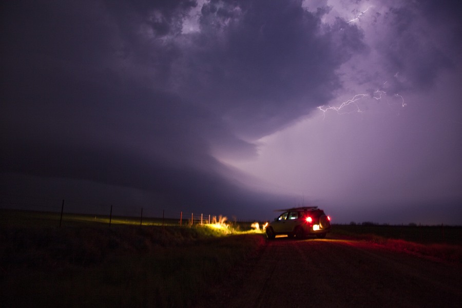
Just posted the pictures and brief report from the 4 supercells chased in Oklahoma on the 17th April 2013.
beautiful mate…looks like it means business here, nice low base >> http://www.extremestorms.com.au/wp-content/uploads/2013/04/0417jd082.jpg.
David it definitely did!
Yes and there was rapid rotation just short of tornadic at that time! http://www.extremestorms.com.au/wp-content/uploads/2013/04/0417jd082.jpg