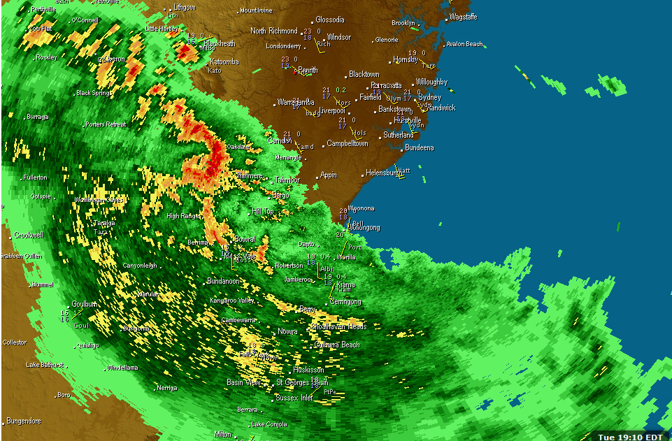
 Looking good for storms around the Southern Tablelands today.

Storm report
NSW Storms 27th November
More storms near Crookwell, NSW
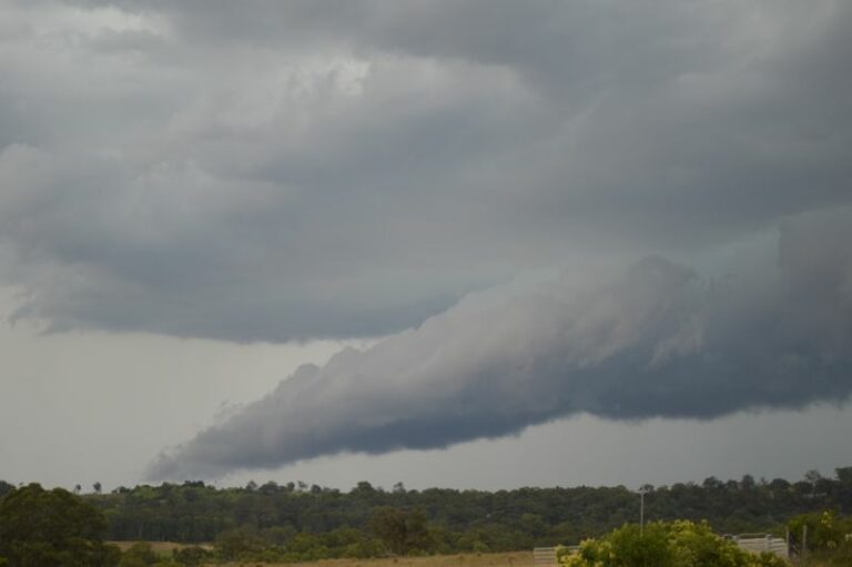 Afternoon storms and storm chase Mittagong and Picton region – Saturday 13 December 2025
14 Dec 2025 · Mittagong & Picton, NSW
Afternoon storms and storm chase Mittagong and Picton region – Saturday 13 December 2025
14 Dec 2025 · Mittagong & Picton, NSW
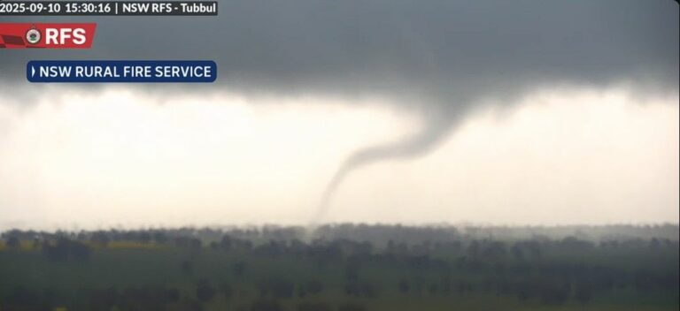 First storm outbreak for spring impacts New South Wales – September 7 to 11 2025
13 Sep 2025 · Central West NSW
First storm outbreak for spring impacts New South Wales – September 7 to 11 2025
13 Sep 2025 · Central West NSW
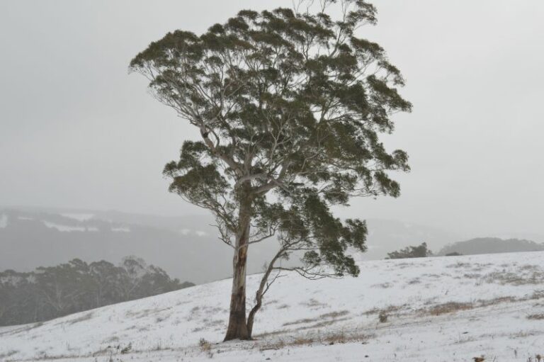 Significant cold outbreak with low level snow NSW and Victoria – 24 and 25 June 2025
28 Jun 2025 · Oberon, NSW
Significant cold outbreak with low level snow NSW and Victoria – 24 and 25 June 2025
28 Jun 2025 · Oberon, NSW
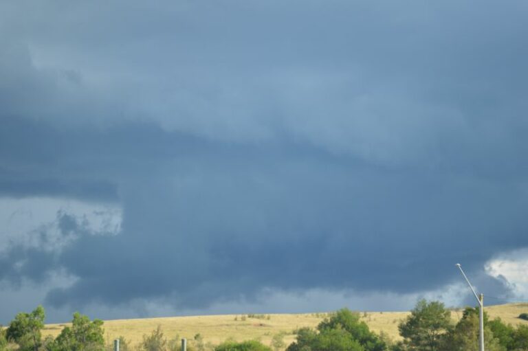 Rain and storm event Victoria and NSW and Friday afternoon storm chase Appin to Picton – 20 and 21 March 2025
22 Mar 2025 · Appin to Picton, NSW
Rain and storm event Victoria and NSW and Friday afternoon storm chase Appin to Picton – 20 and 21 March 2025
22 Mar 2025 · Appin to Picton, NSW
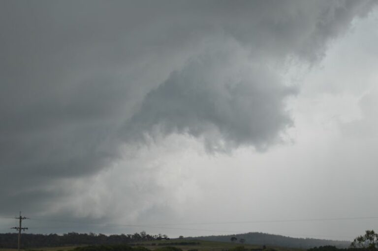 Storms Southern Tablelands and storm chase Batemans Bay to Sydney – Saturday afternoon 8 February 2025
9 Feb 2025 · Southern Tablelands, NSW
Storms Southern Tablelands and storm chase Batemans Bay to Sydney – Saturday afternoon 8 February 2025
9 Feb 2025 · Southern Tablelands, NSW
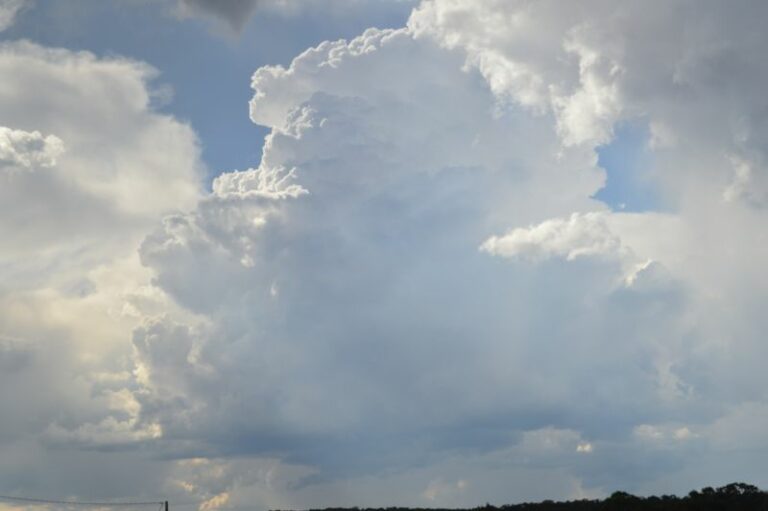 Severe warned afternoon storms and storm chase – Southern Highlands of NSW – Saturday 4 January 2025
5 Jan 2025 · Southern Highlands, NSW
Severe warned afternoon storms and storm chase – Southern Highlands of NSW – Saturday 4 January 2025
5 Jan 2025 · Southern Highlands, NSW
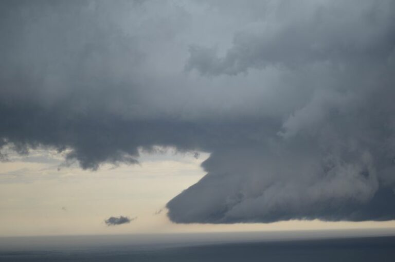 Storm chase and severe storms Southern Highlands to Sydney – Sunday 1 December 2024
3 Dec 2024 · Southern Highlands to Sydney, NSW
Storm chase and severe storms Southern Highlands to Sydney – Sunday 1 December 2024
3 Dec 2024 · Southern Highlands to Sydney, NSW
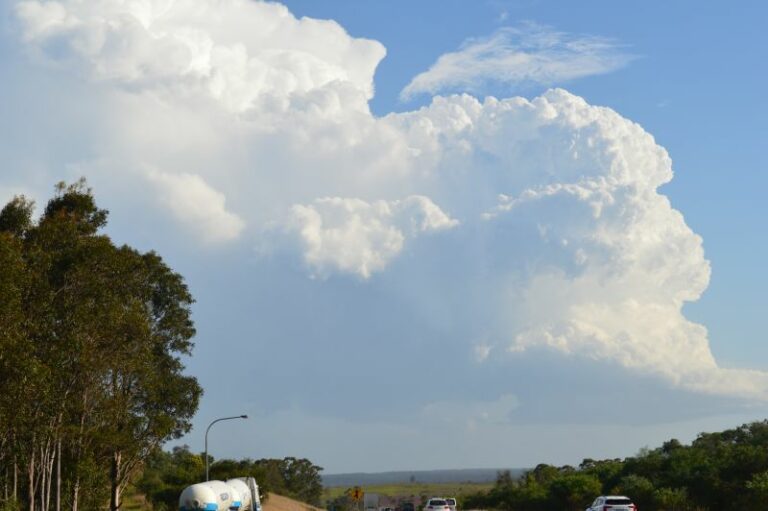 First storm chase of new storm season – Friday 11 October 2024
12 Oct 2024 · Campbelltown to Bowral, NSW
First storm chase of new storm season – Friday 11 October 2024
12 Oct 2024 · Campbelltown to Bowral, NSW
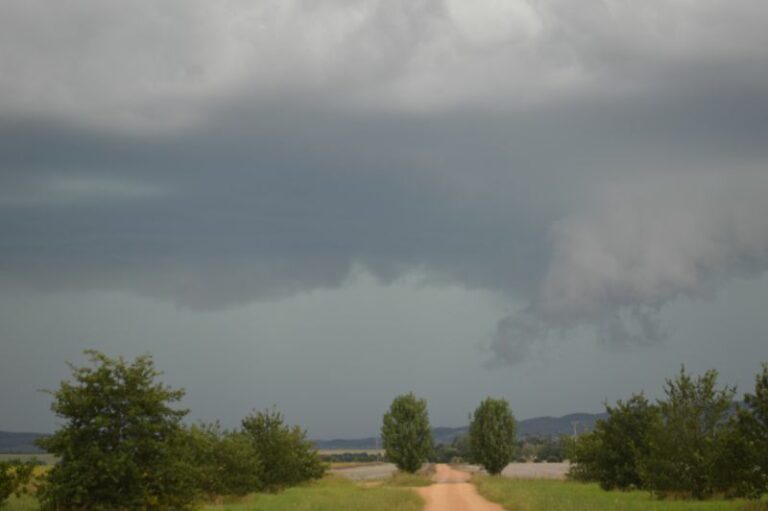 Storm chase including severe storm that impacts Tirrannaville locality – 23 February 2024
24 Feb 2024 · Tirrannaville, NSW
Storm chase including severe storm that impacts Tirrannaville locality – 23 February 2024
24 Feb 2024 · Tirrannaville, NSW
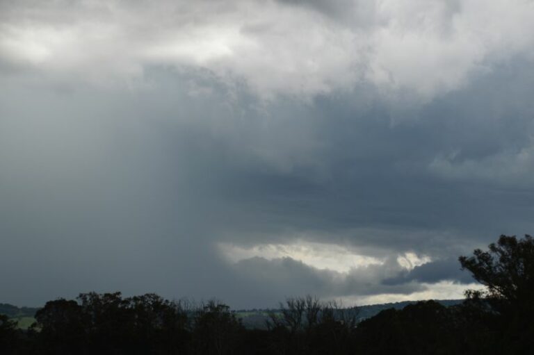 Storm chase and severe storms Campbelltown to Mittagong NSW – Saturday 17 February 2024
18 Feb 2024 · Campbelltown to Mittagong, NSW
Storm chase and severe storms Campbelltown to Mittagong NSW – Saturday 17 February 2024
18 Feb 2024 · Campbelltown to Mittagong, NSW
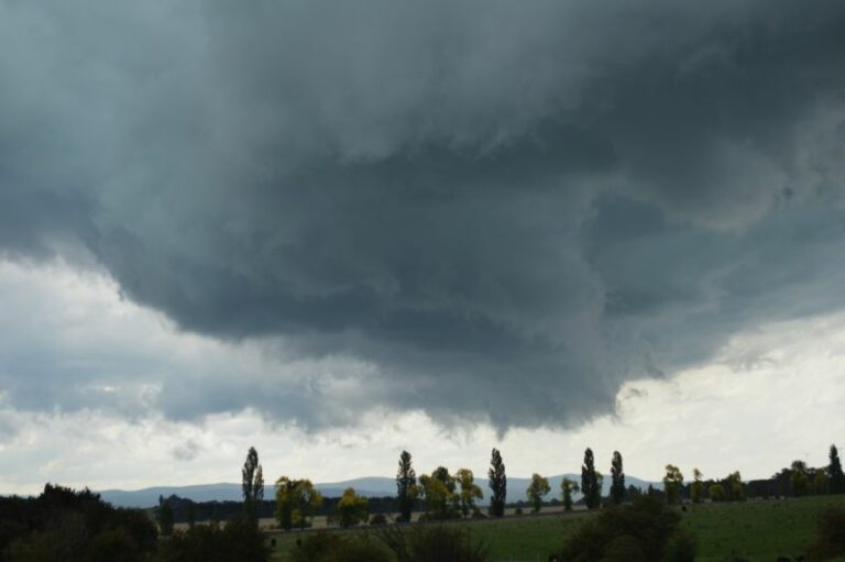 Severe Storms South East Australia – 2 and 3 January and Storm Chase 3 January 2024
4 Jan 2024 · Braidwood, NSW
Severe Storms South East Australia – 2 and 3 January and Storm Chase 3 January 2024
4 Jan 2024 · Braidwood, NSW
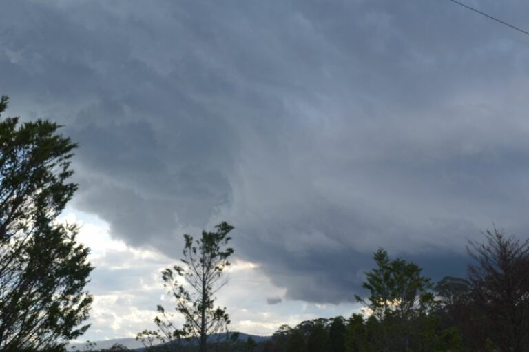 Storm chase and hailstorms – Mittagong and areas south of Sydney – Saturday 2 December 2023
3 Dec 2023 · Mittagong, NSW
Storm chase and hailstorms – Mittagong and areas south of Sydney – Saturday 2 December 2023
3 Dec 2023 · Mittagong, NSW
All storm reports from Crookwell, NSW →
Also on 27 November
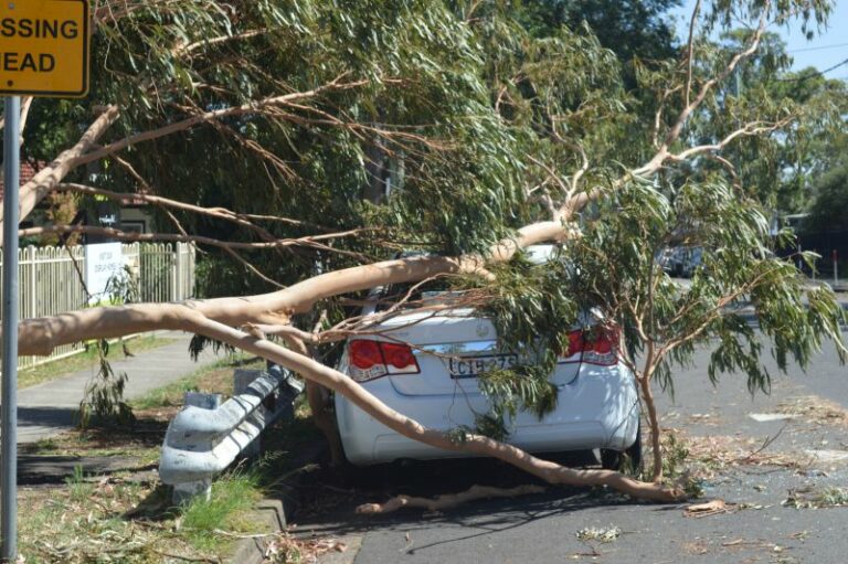 Doonside – The aftermath of Wednesdays storm and cleanup begins – Thursday 27 November 2025
27 Nov 2025 · Doonside, NSW
Doonside – The aftermath of Wednesdays storm and cleanup begins – Thursday 27 November 2025
27 Nov 2025 · Doonside, NSW
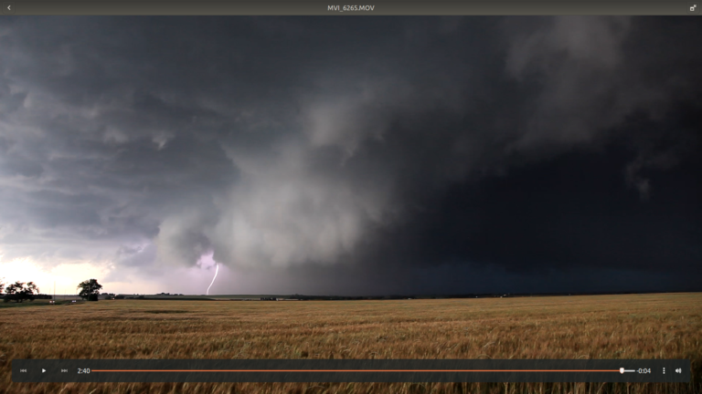 El Reno Supercell 31st May 2013 Revisited
27 Nov 2016 · El Reno, OK
El Reno Supercell 31st May 2013 Revisited
27 Nov 2016 · El Reno, OK
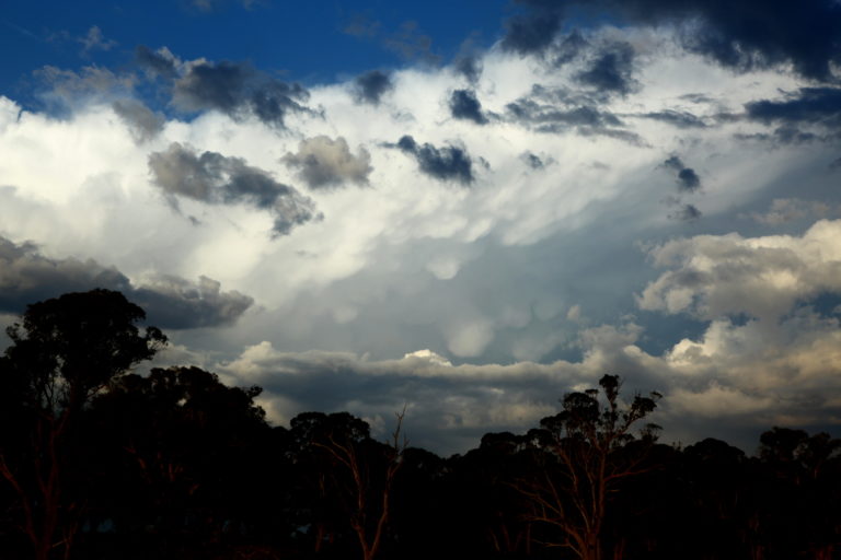 Storms near Guyra NSW 26th November 2016
27 Nov 2016 · Guyra, NSW
Storms near Guyra NSW 26th November 2016
27 Nov 2016 · Guyra, NSW
 A contrast of hot and cold – New South Wales 26/11/2015
27 Nov 2015 · Sydney, NSW
A contrast of hot and cold – New South Wales 26/11/2015
27 Nov 2015 · Sydney, NSW
 4 Tornadoes Confirmed near Guyra 23rd November 2013
27 Nov 2013 · Guyra, NSW
NSW/QLD Showers/rain/storms 28th Nov – 3rd Dec 2009
27 Nov 2009 · NSW / QLD
Overcast with oppressive humidity follows lightning show
27 Nov 2006 · Northern Rivers, NSW
4 Tornadoes Confirmed near Guyra 23rd November 2013
27 Nov 2013 · Guyra, NSW
NSW/QLD Showers/rain/storms 28th Nov – 3rd Dec 2009
27 Nov 2009 · NSW / QLD
Overcast with oppressive humidity follows lightning show
27 Nov 2006 · Northern Rivers, NSW
24 comments
Add a comment
You must be logged in to post a comment.
TCU near Kosciuszko
There was a nice looking cell on radar ealier near Cooma and there is another nice cell just going through young. I finished work too late to chase, maybe tomorrow.
I went out to the Central Tablelands to some lookouts around Lithgow to Katoomba and to points where I could see all the way south and west. Unfortunately thick cirrus cloud and alto stratus cloud was evident in all directions especially west and south and to the horizon. I did not see anything of significance.
Some cumulus clouds did build near Katoomba but they did not do much. I returned home.
I am aware of some storm activity within a rain band across southern NSW. While at Katoomba, I saw the leading edge of that and some darkening cirrus cloud / cirrus stratus cloud to the west and south west but I did not see anything spectacular worth chasing. As I write this some embedded cells within a rain band is around Yass / Cowra moving east.
The isolated storm in the Hay Plains would be a great chase candidate!
Nice and isolated, that would be awesome!
Wow, that storm north of Crookwell looks like an embedded supercell on radar! Awesome!
Michael yes it may be isolated but most likely very high based. Yes Colin and I are here in Penrith awaiting something to come through.
Are you heading south to intercept the supercell coming towards Oakdale? It looks very interesting on Doppler.
This doppler image is awesome!
Check out the comma on reflectivity. The cell looks like it has an eye!
Okay, Oakdale storm is a shelf cloud and new circulation developed near katoomba. Looks like the mid mountains and maybe Kurrajong are in for it soon.
There's some action right now going through the Penrith region. It may produce a nice shelf cloud and a light show. I'm going outside now 2 check it out n hopefully get some video footage.
Colin and I were at Orchard Hills lookout / park that Jeff often visits. We saw the shelf cloud develop near Penrith bonza it suddenly shows on radar. The lightning activity increased and became a little active or should I say close -one bolt hit about 300 metres away. This sent us for a dash for our vehicle. Chase was basically over at this point as the rain set in. Oh well Sydney got a storm.
We ran down that hill alright,lol
In addition to my earlier post, I went up to my favourite lookout at Bella Vista and watched the storm system come through from the south west. I took some video film but will only work on it once I complete the tape. From a good vantage point at Bella Vista, I saw some shelf cloud features and some cloud to ground lightning.
Where I was, the amount of lightning and rain intensity waxed and waned although there was one rather close lightning strike that briefly blinded my vision as it was bright. I noted a wind change from a south east direction to an east north east direction as the storm passed over. I have had a look at some weather stations and rainfall figures around Western Sydney is between 8 and 18 mm including 10 mm around Blacktown where I reside.
i was on that hill once when lightning struck 100m behind me, later i went back and found a charred, burnt sapling with its top blown off only 20m from where i was set up!
[b]27th November 2012 – Temora to Forbes Part 1 [/b][i] (and a road trip from Wollonogng / Nowra in between)[/i]
Myself and Mr Keene had a very rewarding chase this day. The first storm we picked up was only about 50kms north of Wagga, it briefly looked OK and gave us one solitary ‘frill’ CG planting within a few hundred metres. However we also noted a shift from hot N winds, to cool S, so we bailed and headed north.
[url=http://ozthunder.com/chase/2012_11_27f.jpg]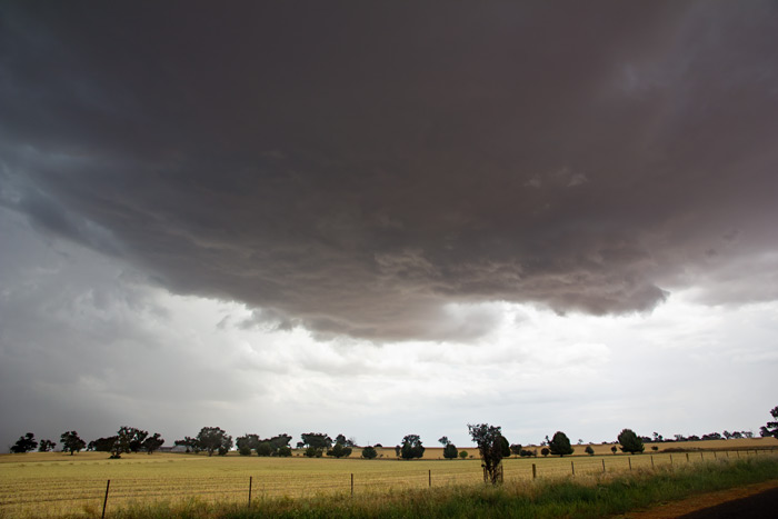 [/url]
Just north of Temora we noticed a line coming in from the west, so we waited. It was very quick moving and within minutes we could start to see shelf looking features and loads of dust. This dust was quite significant. When the line hit we were treated to 110-115 kph winds, dust turned to torrential rain, a few trees down, including one just 50m behind us.
[url=http://ozthunder.com/chase/2012_11_27b.jpg]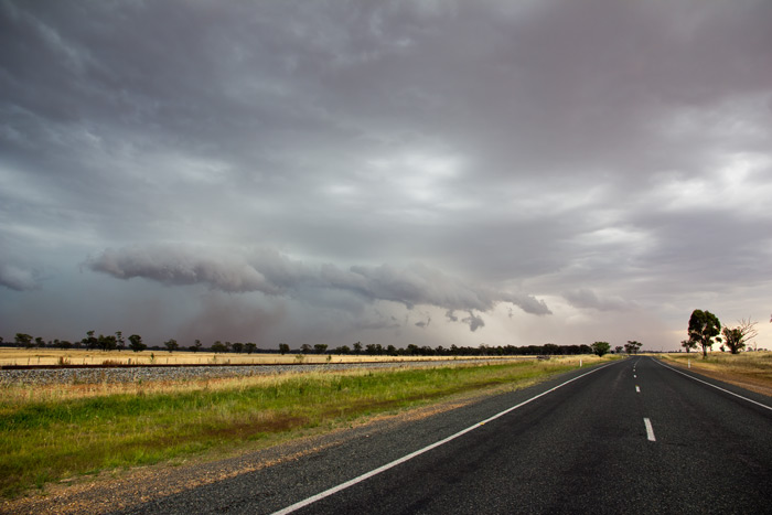 [/url]
[url=http://ozthunder.com/chase/2012_11_27c.jpg]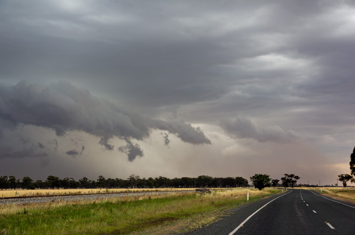 [/url]
[url=http://ozthunder.com/chase/2012_11_27a.jpg]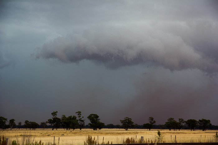 [/url]
Sorry not having luck with images..here they are
Wrong year……………
Near Temora
Temora
Not so high based for that Hay storm the other day… photo by Brad Hannon
Video of the Temora storm with severe winds. Also shows the last gasps of the Hay Cell
http://www.youtube.com/watch?v=Qb4FYTqLsJg
I have now looked at my video of this storm event and I have found that I only have one good picture. I mainly captured sheet lightning except for this one. I am looking west from Bella Vista.