Hi Jimmy,
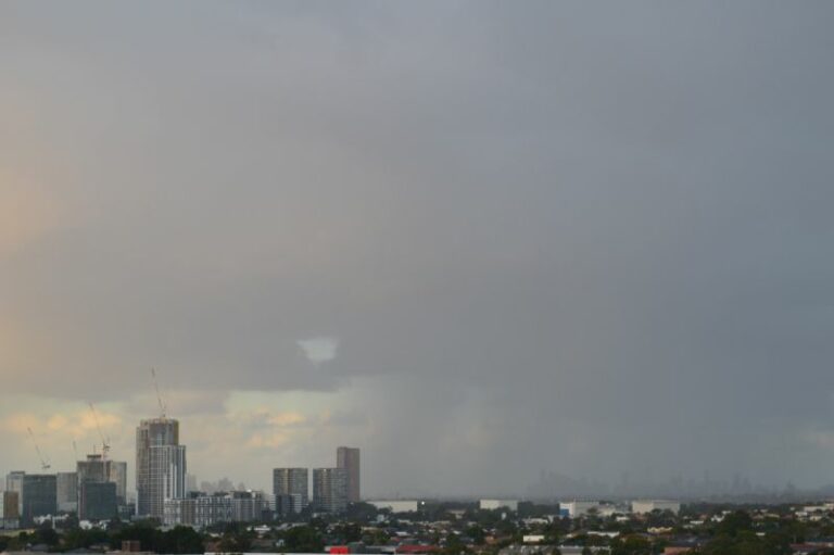
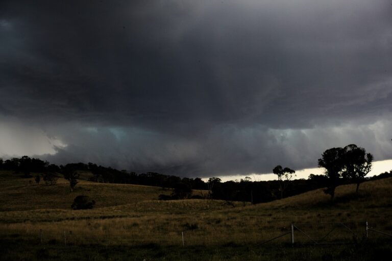
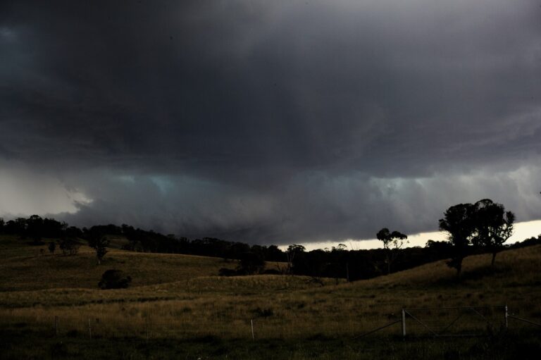
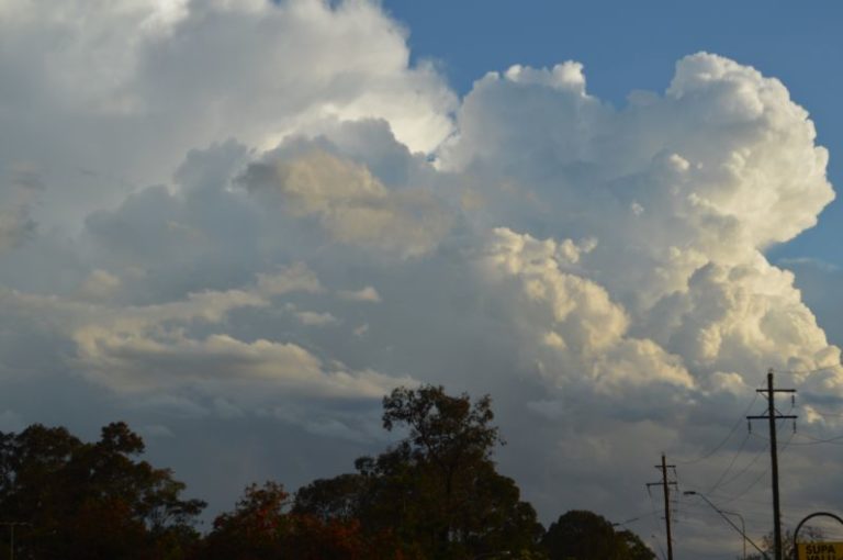
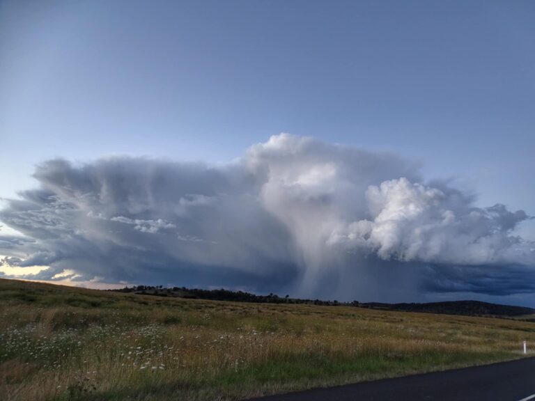
The weekend weather system proved very interesting for this part of the country with some severe thunderstorms across NE NSW and SE QLD Saturday. The storm activity persisted from early afternoon until AM Sunday with a couple of shortwave troughs ahead of the cold front helping to trigger the activity. Was great to see some storms here and get some lightning shots. But that was not the main event. Rodney, Jason and I headed up to the Northern Tablelands leaving Lismore at 7pm. We drove straight into heavy snowfalls at Ben Lomond Range. The snow continued for about 2 hours over quite a wide area between Glencoe and Black Mountain. Was a very exciting early season snow chase with officially 7cm measured at Guyra the next morning.
All pictures can be viewed here:
http://australiasevereweather.com/photography/photos/2008/mb20080517.html
http://australiasevereweather.com/photography/photos/2008/mb20080518.html