Thunderstorm days across Sydney have been relatively rare for 2023 and 2024 and there have been long periods occurring between individual storm events. In General, most of Sydney could or should expect at least 20 to 25 such days during any given year. Generally, the number of such days increases further towards the ranges and away from the coast.
I do not remember any storm events for October 2023 across Western Sydney and areas around Blacktown and following a check of my records, it is identified that there were no such events for that month. In particular to Doonside and Blacktown, the first thunderstorm event of the new storm season occurred Thursday afternoon.
While the storm was non severe and comprised of a handful of rumbles and a light shower, it did signal a shift towards the summer storm season which should be expected for the time of year.


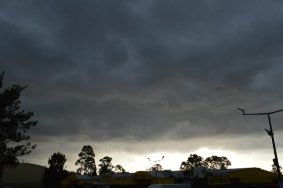
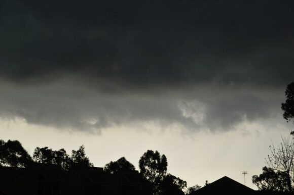
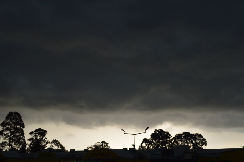
I managed to take a handful of photos of interesting and contrasting cloud formations. At the time, the southeast wind change had passed through but there were still enough breaks within the low cloud to obtain a contrasting effect as the weak storm cell passed over.
The storm passed over Western Sydney but appeared to weaken to the east at sunset
At around 12.30 am Friday morning, a more significant event occurred where a thunderstorm cell developed over Mt Druitt and passed over much of Blacktown. This was certainly a hit or miss event. The second storm was stronger than the first as it provided a burst of heavy rainfall including a single close by cloud to ground lightning strike resulting in a strong thunderclap. The storm appeared to have more lightning within it than the first event.
Due to this event, isolated rainfall totals topped 20 mm around the northern areas of Blacktown with 12 mm in my rain gauge to 9 am Friday morning.
Effectively, there were two thunderstorm events across Western Sydney during the time which is an event that has not occurred for some time.
Further, this came upon a day when maximum temperatures reached at least 30C across much of Western Sydney. As such, the storm events concluded an interesting and more dramatic weather day than what has been occurring over recent times.
The photos attached are views from Doonside looking south and west being the first storm cell that passed over.
