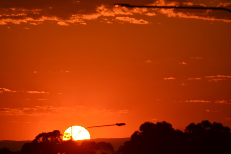
A significant burst of early summer heat has passed over southeast Australia which has come ahead of a cooler wind change. As usual, most locations have had at least one hot day but some locations have experienced two or three such days in a row.
Obviously, further inland well away from the coast, heatwave conditions have occurred.
Some details of the maximum daily temperatures reached are presented within the table below for a selected range of Sydney suburbs and inland areas of New South Wales for the period Thursday to Saturday.
| Location | Thursday | Friday | Saturday |
| Sydney | |||
| Badgerys Creek | 36C | 40.3C | 41.9C (Two days in a row of 40C maximum temperatures). |
| Horsley Park | 35C | 39C | 40.8C |
| Sydney Olympic Park | 34.4C | 39.2C | 41.2C |
| Penrith | 37C | 40.5C | 41.7C (Two days in a row of 40C maximum temperatures). |
| Richmond | 36.9C | 39C | 40.6C |
| Inland | |||
| Bourke | 37.2C | 41.5C | 43.9C |
| Hay | 37.8C | 42.1C | 35.8C |
| Ivanhoe | 37.6C | 43C | 38.5C |
| Menindee | 38.7C | 41.6C | 37C |
| Tibooburra | 37.7C | 42.5C | 44.2C (Hottest part of the state for Saturday). |
| Wilcania | 38.4C | 42.8C | 41.4C (Three days in a row of 38C temperatures). |
| Yanco | 36C | 40.8C | 33C (Onset of the cool change prevented a much higher temperature occurring.) |
During Saturday, the strongest burst of heat affected the following regions of New South Wales:
- Central West Slopes and Plans.
- North West Slopes and Plains (Western areas).
- Lower Western region (Northern areas north of the wind change).
- Upper Western region.
- Hunter Valley (Generally inland areas away from the coast to Murrurundi).
- Sydney Metropolitan (Generally suburbs away from the coast to Penrith and Richmond).
Within the affected regions, maximum daytime temperatures reached anywhere between 38C and 43C for Saturday although 40C temperatures were commonplace.
Interestingly, a weak shallow wind change passed north along the New South Wales South Coast during Friday which reached an area just north of Ulladulla then stalled. By evening, the change weakened. As a result, a strong temperature contrast existed north and south of the wind change. In this regard, temperatures in excess of the mid to high 30S existed around Nowra (ie 37.5C at 1.30 pm for Friday) but at Ulladulla just 50 km to the south, maximum daytime temperatures hovered around the low 20s after 12 noon (Hovering between 21C and 23C).
Further, the maximum temperature reached at Ulladulla was 26C at 6 am just prior to that wind change. Interestingly with the weakening of the wind change, the temperature slowly increased at Ulladulla after dark Friday reaching 25C at 10 pm.

During Saturday at Ulladulla with the heat building and under a north westerly wind, it was 27C at 5.30 am increasing to 30C at 8.30 AM, peaking at 36.5C at 1.20 pm then cooling down due to a change in wind direction from northwest to northeast. Wind direction has a significant impact on temperature and any breeze coming off the sea will have a cooling effect.
Here in Western Sydney under a hot and dry north westerly wind, the maximum temperature exceeded 39C or greater for a second day in a row. Across some suburbs, there were two days in a row where maximum temperatures reached 40C.
A cool change has now crossed through New South Wales which has ended the heat. Prior to the change arriving across Sydney between 6 am and 7 am early Sunday morning, it was an uncomfortable and warm night with a cloud layer trapping the days heat. The wind change provided welcome relief following a three day hot spell across inland areas of the city.
In addition to the heat, bushfires have also broken out on the New South Wales Central Coast and at least 18 homes have been lost during the outbreak. The worst affected area is Koolewong due to the number of homes lost.

There are at least 76 fires burning across New South Wales with the largest one burning within a rural area west of Sandy Hollow or south of Merriwa (Upper Hunter Valley). The fire has already burnt through 11,055 hectares at the time of writing.
Another large fire is burning near Bulahdelah (Lower North Coast) where 3,414 hectares has been scorched.
The cool change should assist fire fighters and there is rain suggested for Wednesday to Friday this week which should further assist the firefighting efforts in coming days.