Today was a spectacular day. Chased 3 hailstorms - well the Blue Mountains cell I did not go after but looked at the structure from a distance as I did not want to get caught out in case the Central Coast took off. The cell through Katoomba has some decent structure I must admit for about 20 minutes whilst I looked at it and then the usual collapse stage.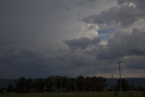
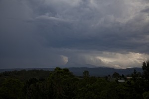
Given Schofields was in the EWN warning, I decided to head for that cell and although I could not catch the first stage, the northern end intensified and produced hail to at least 2 cm in diameter - some probably larger.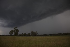 I let it go and headed for home.
Jeff Brislane was onto a cell with a very large nicely structured updraft but given it was near Camden, I let it go. I watched the radar and the inevitable collapse did not occur as I first had thought and the outflow produced another cell just south of Penrith. 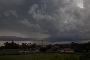 This persisted and eventually became severe warned. I decided to head to a local lookout and to my astonishment, it seemed to have a beaver tail! I watched this cell for at least half an hour to an hour as it gradually went through different phases and even showed signs of base rotation closer in to the notch. Jeff Brislane was closer to this cell and his images and video shows a wet RFD cut during this rotation stage. After this, the cell went into the usual collapse phase -
 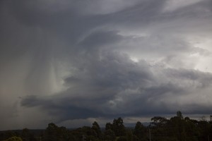 precipitation on the front and contaminating the updraft air.
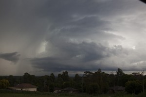

Nice structure on those Jimmy. I recognise the local lookout area from the first chase we ever did. The number of detailed warnings for the Greater Sydney area was well above “normal”, or normal in recent years at least. A suprising aspect of this Feb outbreak is that storms have been up here and into SEQ as well. Typically the Feb storm peak is confined to central NSW.
Hi all,
Chased yesterday afternoon in the Northern Rivers area. A severe looking storm tracked along the Upper Clarence Valley, eventually getting to Kyogle, though in a weakening stage.
The most spectacular lightning I saw all day was during this last phase when the storm developed a microburst. Two separate large branchy bolts well in front of the rain, though of course not captured.
Met up with Rodney when we watched the next activity from Casino. A severe looking cell (visually and on radar) developed and spread up from the Clarence Valley. This first isolated pulse was nice with an overshoot. However a flanking line cluttered things up, though this was to persist the rest of the afternoon and well into the evening.
The colours were nice towards sunset. Rodney had to go to work but now Jason Paterson was on chase with me. The following photos were taken from near Casino.
The lines of activity were encouraging but lacked CG lightning. The tops were not overly high which didn’t help.
This one is the cell that moved over Ballina. Lots of glowing cloud shots, but again very little visible lightning
And an anvil crawler type shot closer to Lismore.
Michael
http://www.youtube.com/watch?v=swUY7IFjUuM
Jeff,
Those are whiteout conditions – storm style! The type of conditions where you can’t see the road!
Regards,
Jimmy Deguara
Here is video from the third storm locally on the day. Quite nice actually! Note the Beaver tail and also the second inflow band above it forming and I also like the way the low cloud clears.
Awesome stuff Jimmy,
I’ve finally produced another video of this storm, this time near Cranebrook. The rain and hail here was the most intense I experienced in this storm and the most intense that I have ever experienced in all my years of chasing! There was a total whiteout with 0m visability during this part of this storm cell and i had to literally stop my car because I couldn’t see anything, not the lines or even the edge of the road!
That is incredible Jeff. The guy also has his light flashing! I know how yo feel when you need to stop but cannot because the side of the road is not visible!