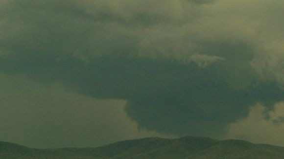
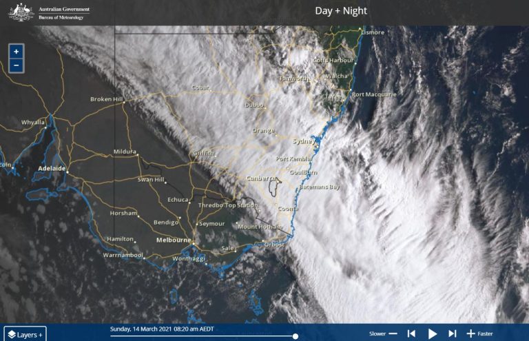
 I left work at 12.30 pm and drove south west towards the Marulan / Goulburn region for a storm chase. Before I left, I checked the radar and identified a storm cell that I could intercept.
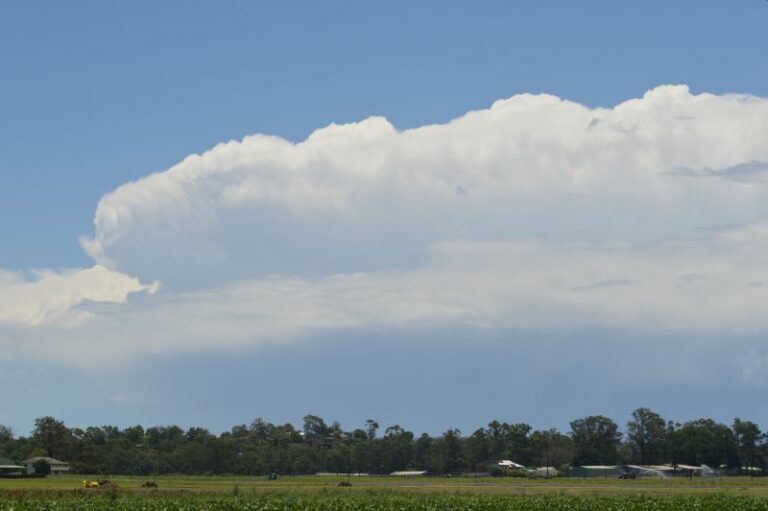
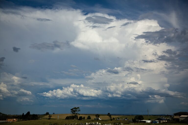
I stopped at a rural area near the Belanglo Forest turn off where I took a number of photos of my chosen storm cell which proved to be the only photos I would get. That cell collapsed rapidly and by the time I reached Marulan, the storm had totally decayed leaving a large oval shaped anvil cloud structure across the sky. However, new storm cells began to develop further south and west. I decided to wait until a strong enough cell had consolidated enough to begin another chase.

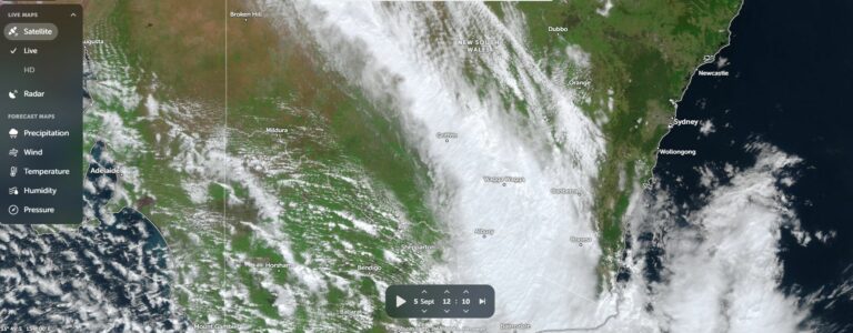


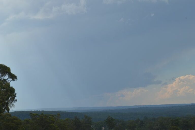


I waited for a while until I saw a storm cell consolidate further to the south west. I drove to Goulburn where I went to the top of Anzac Hill overlooking town and watched a storm cell consolidate and track slowly ENE close to me.
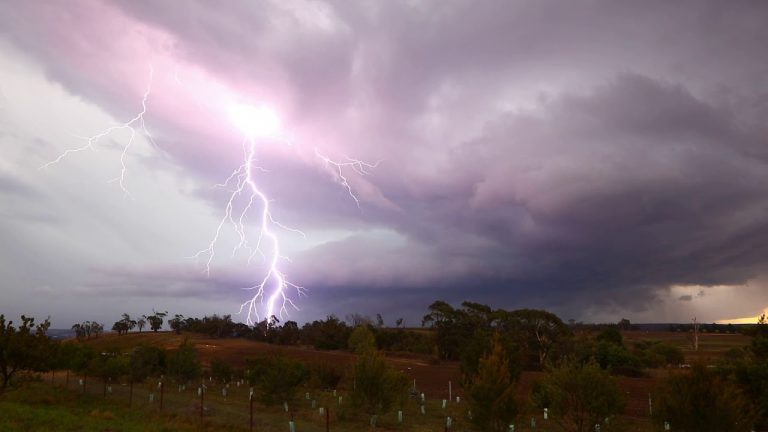
The storm initially intensified then went into slow decay. It lasted longer than I had expected and produced a number of lightning strikes and much thunder.
As this was occurring, a larger storm cell was observed south west towards Gunning which was moving towards me. This gave the impression that I was surrounded by storms and numerus photos were taken.
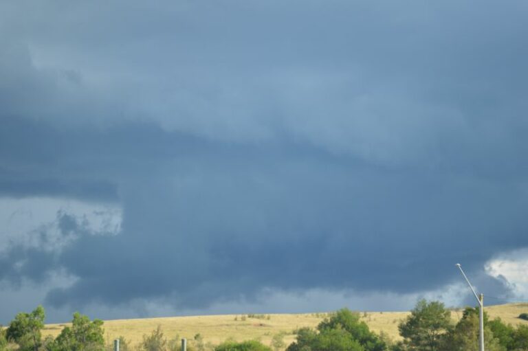
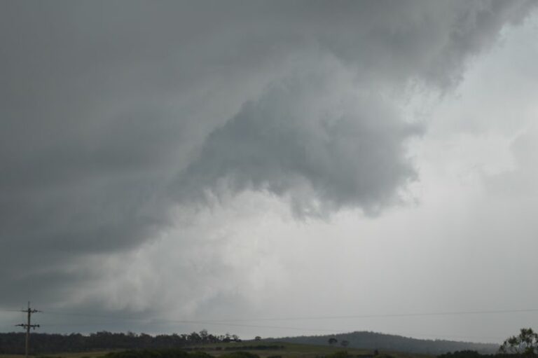
The base of this storm.
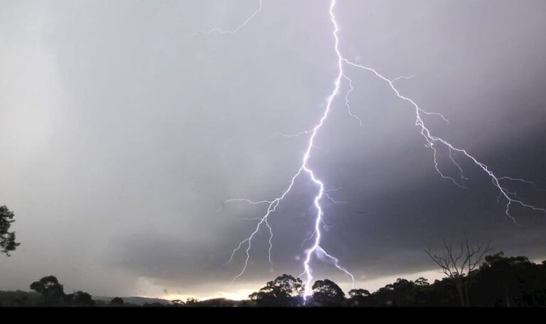
One of my favourite photos of the day is watching a lightning strike the nearby hills just outside Goulburn.
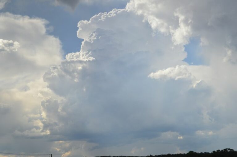
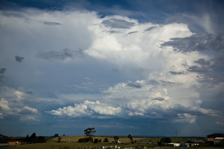
After this storm collapsed, a much larger storm to the west came into focus. With strong updraft towers and a visible base, it was worth waiting to see what would occur.
This was certainly significant at this stage. I watched this cell intensify as it approached Goulburn and produced an impressive storm base. The image seen shows the base at its best. The storm has now peaked in intensity.
This was over an area with no roads but there was no need to move as it was coming straight for me.
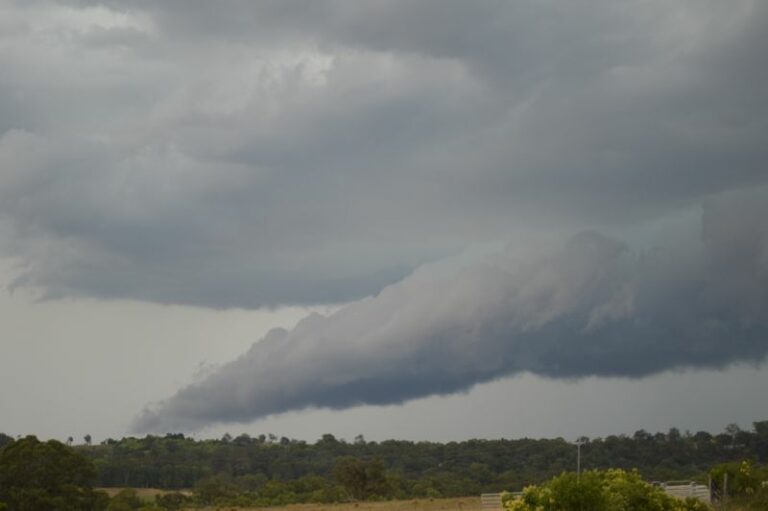
However this lasted no more than 10 minutes before it broke apart. The storm went into rapid collapse especially when a shelf cloud broke off and the structure became linear. The amount of lightning waned.
As the shelf cloud broke off and passed over me, this did produce cool winds (outflow winds) and I knew the events were finished for the day.
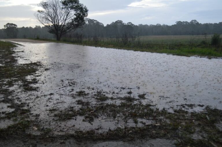
Following dinner at Goulburn, I drove home at night. There was only light rain at this stage in the area.