
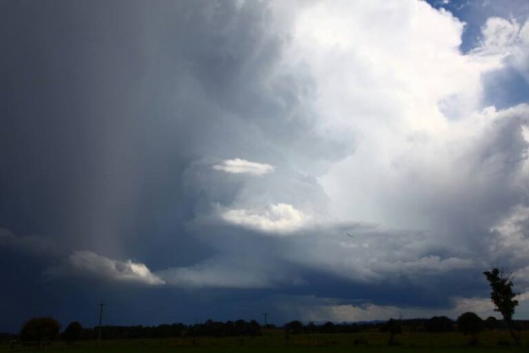
Storms fire rapidly from early this afternoon and drifted southeast. There were numerous storms although it seems the most significant storms occurred in the North West Slopes region. This storm earlier in the afternoon developed near Ebor drifting towards Coffs Harbour.
A couple of longer lived intense cores on radar with the storms moving from the region south of Inverell to the region near Manilla. This environment favoured right-moving storms.
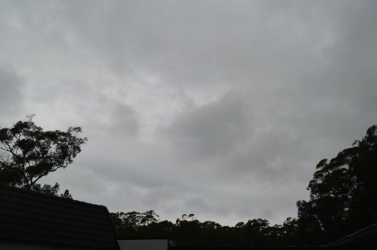
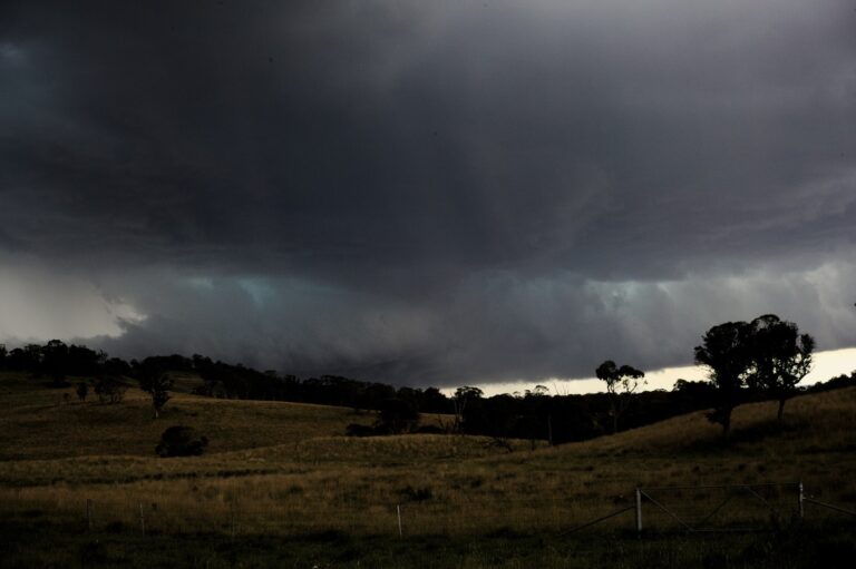
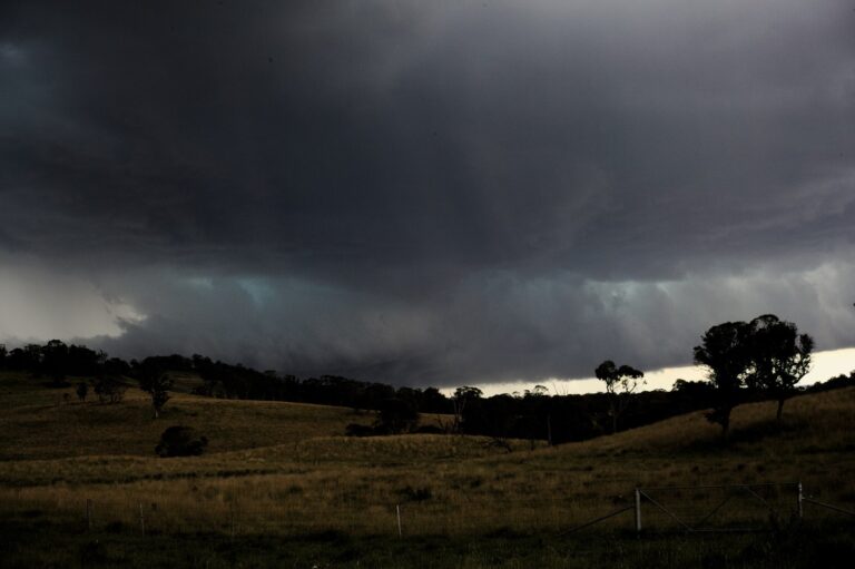
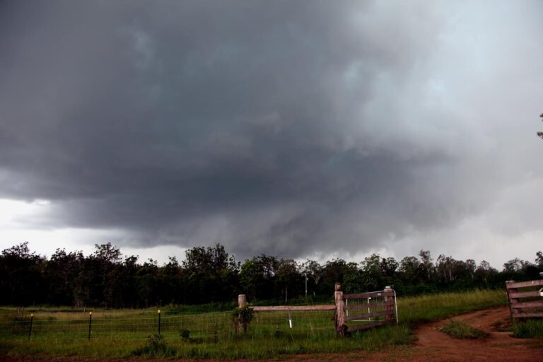


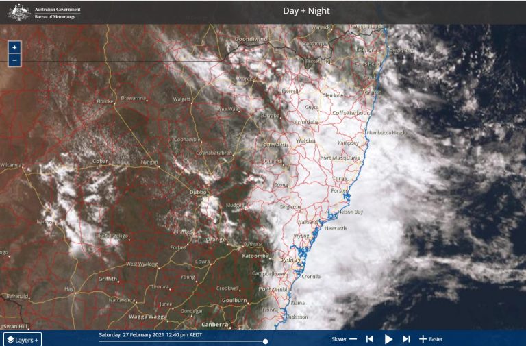

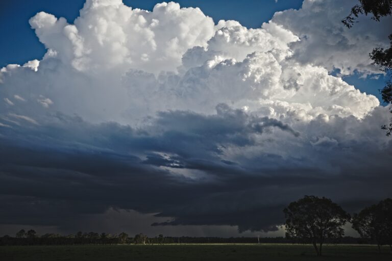
I am not too sure about the North West Slopes region.This would have been my original target, however models dried things out. While there were certainly some sepia cores in there, with some interesting right movers (and a left mover near Manilla), I am not 100% sure how intense these were. I am beginning to suspect the Namoi radar does overdo things a bit, while doppler didn’t show any significant rotation in these storms despite being nearby.
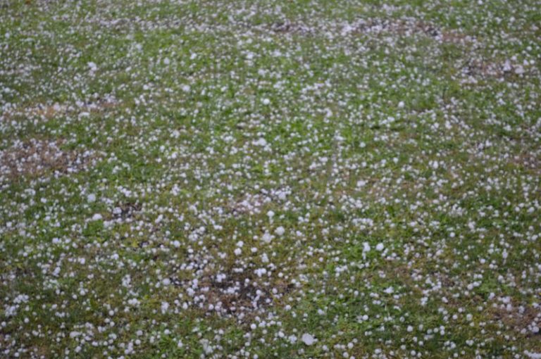
This storm that tracked from Ebor to Sawtell was an HP Supercell. About 50-60mm fell in 30-40 minutes, winds reached 110km/h and hail was a jagged golf ball size.
Hey guys I watched the Ebor to Sawtell storm pretty much its whole life cycle. and took some timeplase as it got close to Sawtell.
[URL=http://s27.photobucket.com/user/enak12/media/Stoms%20november%2011%202013/Untitled_Panoramaert51copy_zps1e58ecf4.jpg.html][IMG]http://i27.photobucket.com/albums/c172/enak12/Stoms%20november%2011%202013/Untitled_Panoramaert51copy_zps1e58ecf4.jpg[/IMG][/URL]
[URL=http://s27.photobucket.com/user/enak12/media/Stoms%20november%2011%202013/IMG_4179copy_zps35b79767.jpg.html][IMG]http://i27.photobucket.com/albums/c172/enak12/Stoms%20november%2011%202013/IMG_4179copy_zps35b79767.jpg[/IMG][/URL]
[URL=http://s27.photobucket.com/user/enak12/media/Stoms%20november%2011%202013/IMG_42071copy_zpse6eb7455.jpg.html][IMG]http://i27.photobucket.com/albums/c172/enak12/Stoms%20november%2011%202013/IMG_42071copy_zpse6eb7455.jpg[/IMG][/URL]
http://www.youtube.com/watch?v=76HhOJne6Ow&feature=c4-overview&list=UUnV60KBLlbKxYFZFJEFlUMg
Not sure how to edit comments?
Ben, definitely David and discussed this a few times about the overestimation. I can confirm though that there were a few longer lived cells particularly the one that traversed the region from Moree to Manilla. You could see inflow features but when I got close enough them it collapsed. I did a fair bit of driving on this day.
Jimmy
Ben, in terms of the right moving comment. There was a component of wind from the SE Tamworth and Gunnedah region which once storms moved into the region favoured right moving inflow.
Yeah I suspected they were supercells however probably not as intense as the radar images signified! It is a shame you did not get closer, would have been interesting to see what was under them! Was interesting how good the storms were out there.. considering the moisture and GFS had +1 lis etc so it obviously underdid the moisture by a long shot.
Kane your photos of the Sawtell storm are great!! Here is a quick video off my iphone of the heavy rain + wind on the backend of the storm.. I will get the hail and the rest up at some point!! It was some of the most intense rain I have ever experienced. http://www.youtube.com/watch?v=vC1go0jjmck
Finally got some photos from this event… closer perspective than Kane (though I would have loved that view)!
When it was overhead
Some damage