The day presented a number of challenges when forecasting this event especially when it was not clear whether thunderstorms would develop or not. This included:
- A large rain bearing cloud mass to the north that was producing light rain to areas of the Upper Hunter Valley and north west of the state.
- Potential lack of heating and cool temperatures further south including around Goulburn and Crookwell.
- Too much cloud especially to the north and south of Sydney.
I persevered with the weather models and rather than taking the risk of driving out of Sydney towards Goulburn which was my initial target, I remained in Sydney. It appeared that conditions would be the best around Sydney for any thunderstorm development later in the day.


That decision proved accurate as the best heating for the day remained around Sydney with maximum temperatures reaching the mid 20s for Penrith and Blacktown.
A weak thunderstorm initiated to the west after 12 noon and I left home at 12.30 pm and drove towards Penrith along the M4. I made the decision to head south to Warragamba and Silverdale areas.
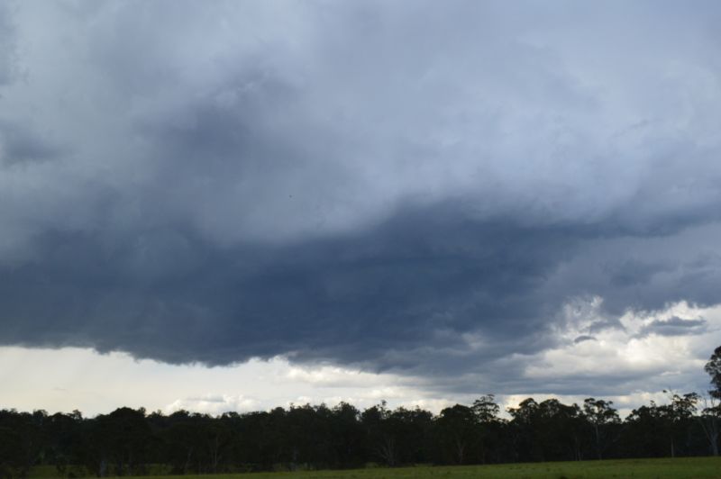
I stopped at South Penrith and photographed a developing storm base just to the north. After reaching Mulgoa, I stopped again to photograph the same storm by which time it had fully developed. I observed two cloud to ground lightning flashes from that cell.


I then proceeded onto Warragamba / Silverdale areas where another cell had developed including a base overhead. The cell then dropped a considerable rain shower where I was. The rainfall was heavy with no hail. It was only after the storm had moved east of me that I was able to make out a much larger thunderstorm to the south east towards the coast.
It is understood that the larger storm to the south had indeed produced small hail (Pea sized up to 1 cm in size).
While I noted a wind change to the southeast which may have been an outflow boundary, I decided to head northwards back to Penrith and Richmond. I stopped occasionally to take photos of fresh storm cells developing to the east or north at times.
Upon reaching Richmond, I noted a new line of storm cells rapidly developing including one that produced an interesting base but as it was earlier, the storm quickly rained itself out. I then played with the storm along Kurmond Road looking for suitable locations to photograph what was occurring.


After 5.30 pm, it became clear that the northern cell was in decay and the amount of lightning was also waning. I finished my chase thereafter.
Overall, considering the setups and the fact that storms quickly rained themselves out, this was considered to be a reasonable day especially considering that conditions were not the best. I managed to intercept 3 separate storm cells for the day despite the difficulties encountered.

Storms across Sydney
Storms across Sydney were hit and miss and thus some areas received a large amount of rain while other localities missed out. As suggested, the main storm event for the day provided:
- Horsley Park - 6.4 mm.
- Penrith - 6.8 mm (Note - Parts of Penrith such as the city centre did not have any rainfall during the main storm event).
- Sydney Airport - 9.4 mm.
- Sydney Observatory Hill - 21.2 mm.
An evening rain period after dark boosted rainfall totals and thus the final figure to 9 am Tuesday morning 15 October are:
- Horsley Park - 13.6 mm.
- Penrith - 14.6 mm.
- Sydney Airport - 23.4 mm.
- Sydney Observatory Hill - 38.8 mm.
I did note one minor rumble of thunder from this at Doonside as the rain system passed over.
All photos attached were taken using my DSLR Nikon 3200 Camera between Silverdale and North Richmond / Kurmond for the day.