It has been a dramatic week weatherwise right across Eastern Australia from Queensland all the way south into Victoria. The contrast of events and the number of individual weather events impacting localised areas is impressive.
Such weather outbreaks are to be expected during spring as the clash of different air masses occur.
The contrast of weather is truly amazing. The events described below are just a sample of what has been occurring during the period.
Sunday 26 October
Melbourne
Separate weather events impact areas around Melbourne and other parts of Victoria while significant thunderstorms impact parts of Brisbane producing substantial hail.
A thunderstorm impacted Melbourne during the afternoon that brought down trees and it appears that a funnel cloud was observed over the western parts. Some media reports suggest a weak tornado but this is not clear. The same storm brought flash flooding and brought down power lines.
The storm events brought 35.4 mm to Melbourne City making thus making this the wettest day this year for the city.
There were other separate thunderstorms across Victoria and even into parts of southern New South Wales during the day.
At least 150,000 lightning flashes and strikes were recorded across Victoria and parts of New South Wales for the day.
Brisbane
At least three separate thunderstorm events impacted the Brisbane area and probably at least one supercell thunderstorm impacted the western parts of the city producing hail to 5 cm in size. Indooroopilly was hard hit and Ipswich further to the west was impacted by hail to at least 4 cm in size.
Powerful winds of up to 100 km/h was recorded including gusts of 96 km/h at Archerfield to the south of Brisbane City.
At least 65,000 residents were left without power following the thunderstorms.
Tuesday 28 October
Sydney
On Tuesday 28 October and following a warm October period, the maximum daytime temperature struggled to reach 15C to 17C across the city. A strong and rather cold southerly change moved north along the coast during Monday reaching Sydney during the early afternoon.
The maximum temperature only reached 15.4C at Horsley Park being temperatures that would be expected during June and July. This occurred just 6 days after a maximum temperature of 38.3C was recorded which is quite a stunning contrast and a difference of 22.9C between the highest daytime maximum and the lowest daytime maximum for the month.
Tuesday and Wednesday 28 and 29 October
Tweed River region and far Northeast New South Wales
During the 28 and 29 October, a significant rain event impacted the Tweed River and daily rainfall totals topped 50 to 100 mm at several locations. Furthermore, some rainfall totals across rural areas exceeded 100 mm. The highest totals to 9 am Wednesday morning include:
- Murwillumbah - 95 mm.
- Lismore - 69.6 mm.
- Ballina - 62.6 mm.
- Casino - 54 mm.
- Tabulam - 50 mm.
Some of the weekly rainfall totals for the period 25 to the 31 October are unusually high for October including:
- Brays Creek (Misty Mountain) - 208 mm.
- Tweed Heads Golf Club - 137.6 mm.
- Uki (Tweed River) - 132.5 mm.
- Mullumbimby (Fairview Farm) - 107.2 mm.
Much of this is a result of what occurred during the 28 and 29 of October.
Thursday 30 October
Sunshine Coast
On the Sunshine Coast, a lightning strike during a thunderstorm claimed the life of a young lady.
Friday 31 October
Southeast Queensland and Eastern New South Wales Friday afternoon
Another widespread outbreak of thunderstorms occurred across eastern New South Wales and into Southeast Queensland.
Significant storm and hail events include but not limited to:
- Sladeville (North of Warwick) - Hail to at least 5 cm - Likely a supercell.
- Redcliffe (Brisbane) - Hail to 3 to 7 cm - Likely a supercell.
- Gatton (Lockley Valley) - Hail to 4 cm.
- Laidley Creek - Hail reported to 5 and 7 cm - Likely a supercell.
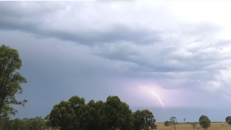
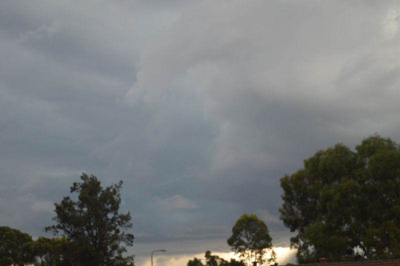
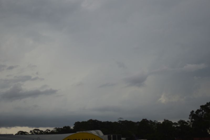
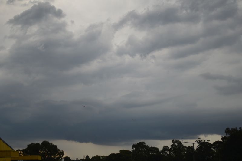
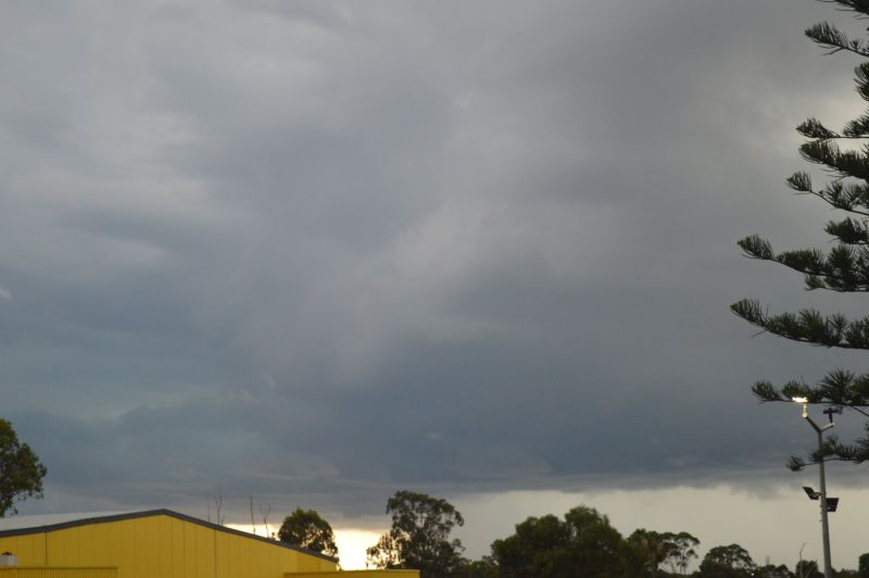
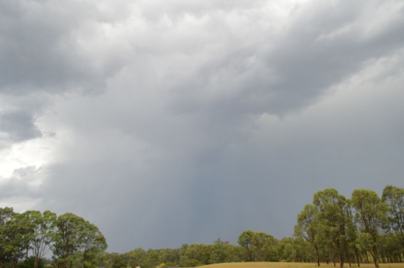
Notwithstanding this, an intense thunderstorm formed to the northwest of Sydney late Friday afternoon which tracked southeast into the Western Sydney region. The images of the storm including the feature image are attached throughout the report.
I was observing a green tinge within the base and when I saw this plus some interesting cloud structure, I launched a local storm chase west towards Penrith.
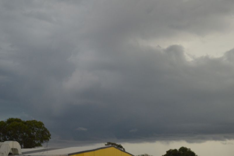
I finished up travelling west to Penrith then south to a rural area near Luddenham. I did not encounter any hail but I do believe that there was hail within the storm. I did penetrate deep into the core of the storm and intercepted very heavy flooding style rainfall around St Marys as I travelled west.
The thunderstorm was very active lightning wise and some powerful cloud to ground lightning strikes were observed including one very close to where I was on the M4 Motorway.
A second thunderstorm crossed Sydney early Saturday morning at around 3 am. This continued an active week weatherwise across the region.