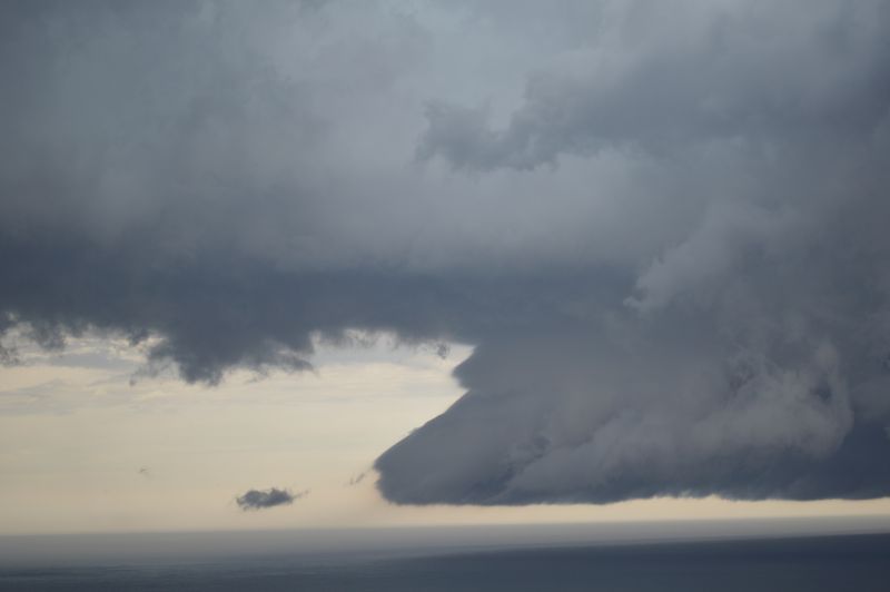
The storm chase of Sunday 1 December 2024 is perhaps the best for 2024. Early Sunday morning, contact was made with Jimmy. I advised that I was expecting to undertake a storm chase for the day.
I had strong suspicion that thunderstorms would develop for the day. I had identified two targets with one to the south of Sydney and one to the north of Sydney taking in Gosford to Newcastle region.
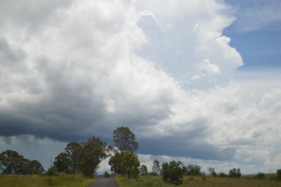
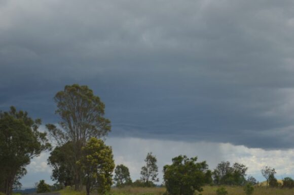
After meeting with Jimmy, we decided to go south to Campbelltown then to a rural area just to the south of the city to observe and monitor developing cumulonimbus clouds from an excellent vantage point.
Thunderstorms were observed developing across the Central Tablelands and Southern Highlands to the west and southwest. We stayed at that point until one storm cell consolidated and dominated over the other cells that were developing.
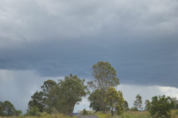
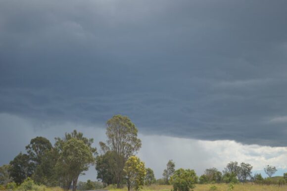
We then drove to Hilltop to investigate one cell that had become linear then quickly turned around and went back North to Picton Road via the Hume Freeway.
Just off Picton Road, we watched one storm cell produce a downburst over a rural area to our southwest.
We decided to keep abreast of this cell by traveling east towards Wollongong. Eventually, we made our way to Stanwell Park or Stanwell Tops where we were able to watch two thunderstorm cells move off the coast with one to the north and one to the south over Wollongong City. This event made the chase a highly rewarding experience.
Here, there were plenty of opportunities to enjoy both storms. Both were producing cloud to sea lightning strikes and heavy rainfall. A shelf cloud was also observed from the southern storm and a green tinge was observed at times within the base of the clouds.
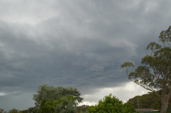
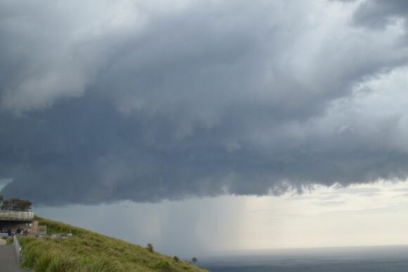
Several of the images attached to this post show both thunderstorms as they crossed the coast. It is also noted that the event was mostly coastal in nature.
With another thunderstorm developing to the west and almost upon us, we left that area (Stanwell Park) and traveled north to keep ahead of it. We later experienced a heavy rain shower but no hail.
A thunderstorm developed to our west which was severe warned. Traveling along Heathcote Road allowed us to experience the core. As it was, we encountered heavy rainfall and small hail at the core.
We made our way to Liverpool where we stopped off the side of the road to obtain photos and film of lightning strikes from another thunderstorm cell. This proved to be the last storm of the day.
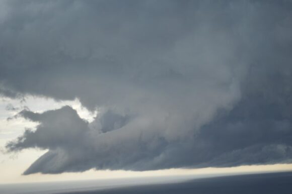
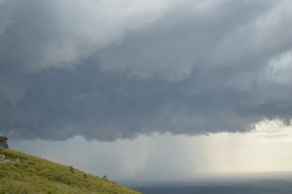
Following this, the chase was over. The highlight of this chase were the two cells that moved off the coast of Wollongong and the contrasts that they produced.
New South Wales Thunderstorms
The thunderstorms that we experienced were part of a much broader weather system where large areas of New South Wales and even regions into Queensland experienced a thunderstorm outbreak. Some of the storms became strong and others were severe warned. Winds, heavy rain and even hail featured.
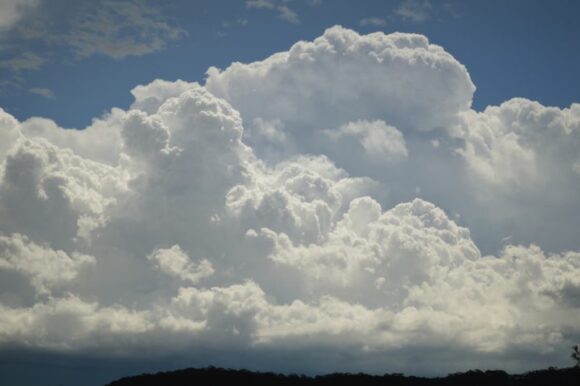
A key feature of this event is that storms were hit or miss. For example, Richmond in outer northwest Sydney appears to have missed out on anything. At Doonside (Blacktown), my rain gauge collected only 3.5 mm of rain from a short lived thunderstorm that passed over. Compare that to our travels along Heathcote Road, where there was water over the road from the thunderstorm that had passed over producing 20 to 30 mm of rain and even small hail within a short period of time.
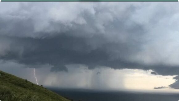
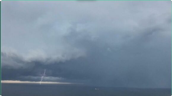
The photos attached shows in high detail the cloud structures that were experienced.
