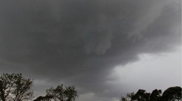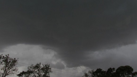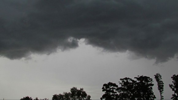


Following a review of the weather models and radar images, I drove to my favourite lookout at Bella Vista and spent some 30 minutes watching the cloud formation to the west over the Blue Mountains. Amongst the cloud bank, I was able to identify a storm cell that had some interest.
I then drove to Windsor and found a park just to the north of town opposite the Nepean River. The cell that I spotted earlier was close by but in a decaying stage. Some rumbles of thunder were audible from the decaying cell.
Amazingly as the system came off the Blue Mountains, the storm seemed to redevelop including a new base. I saw one cloud to ground lightning strike to the west and another to the north a few minutes later. I then realized what was occurring so I stayed at my chosen location.
A new storm cell developed around me and overhead including a new lowered base. A brief but heavy rain shower occurred along with some strong winds. As the storm passed further east, the amount of lightning increased in frequency. I commenced a chase back east along Windsor Road but traffic slowed me down and hence I was unable to catch the storm a second time.
I attach a small number of photos of the storm. This was the storm that passed over Sydney mid afternoon and the photos taken shows the storm as it redeveloped around Windsor.

Most of the lightning I saw to the east were mainly within the rain curtains and mainly lit up the storm cell. This presented me with almost no opportunity to obtain images of lightning. As a result, I did not pursue images of lightning strikes.