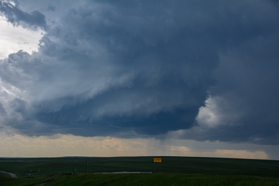
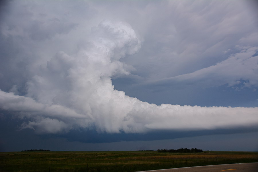
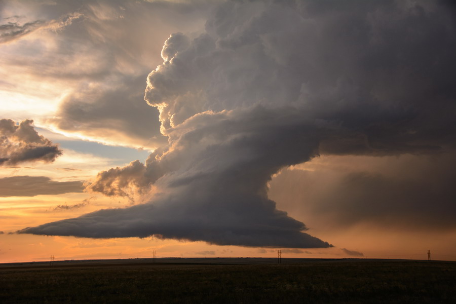
This was the last day of chasing for the 2015 USA trip by Michael Bath, Jason Paterson and Rodney Wallbridge. The initial target is Limon, Colorado. Moisture seemed better than forecast as we head south from Cheyenne, Wyoming with a strong storm going up behind us to the north, and then the first signs of a storm just south of Denver. Around the eastern outskirts and then SE of Denver this storm had split then consolidated on the southern side, which was our target from the outset. Some brief small hail hit out of the anvil on the interstate. NW of Limon was the first stop to observe the now LP supercell structure.
Grunty base with very large anvil, powerful updrafts and some crawler lightning. After a while we moved west but it was the wrong road. Large drops and some small hail so we turned around and headed SE then onto the road to Matheson. More base and structure stops.
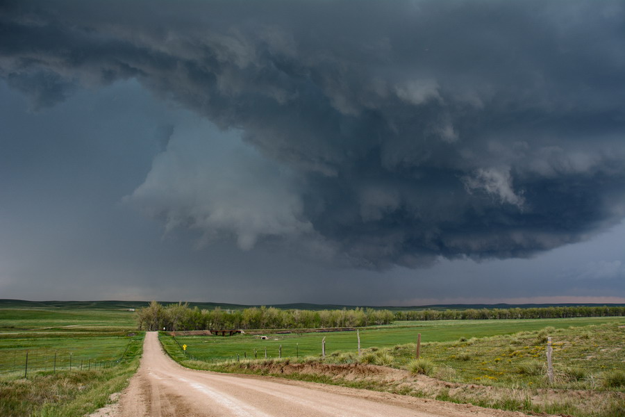
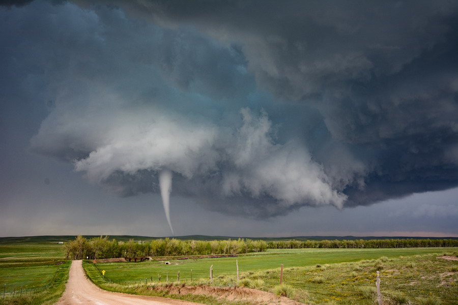
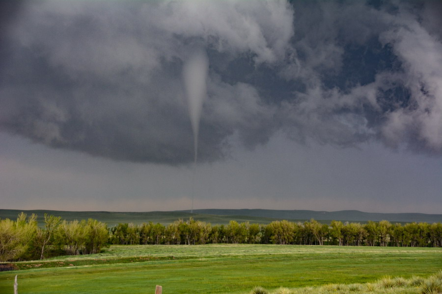
There are times where two mesocyclones are very apparent. Bases had been high but they were slowly lowering over time. The storm is slowly creeping towards the south. We found a great spot just SW of Silma where the structure evolved into a classic supercell. Bases again lowered on the right and then a very obvious wall cloud suddenly appeared. Not long after a funnel cloud then a slender cone tornado touches down! Awesome, especially with the beautiful contrast and evil looking base. This lasted several minutes before lifting.
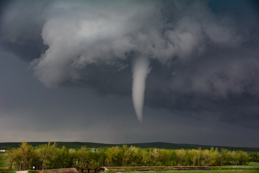
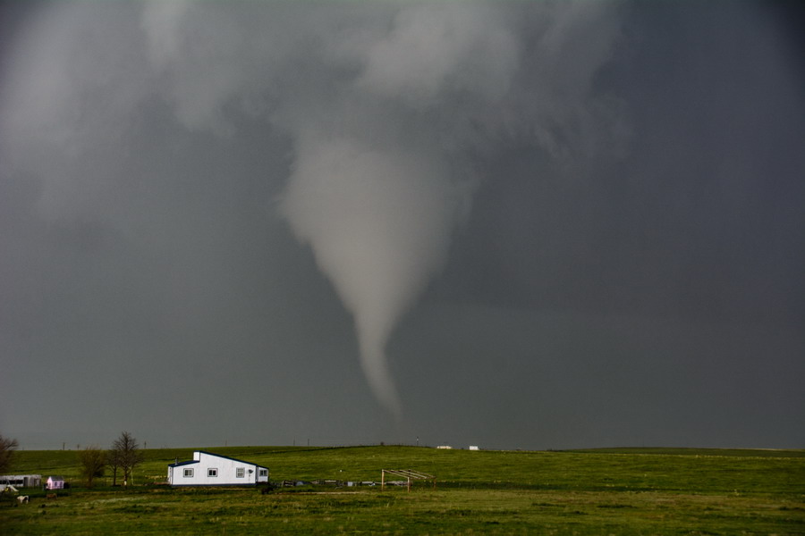
Minutes later a needle tornado touches down and this time we can see the point on the green rolling hills nearby it impacts.
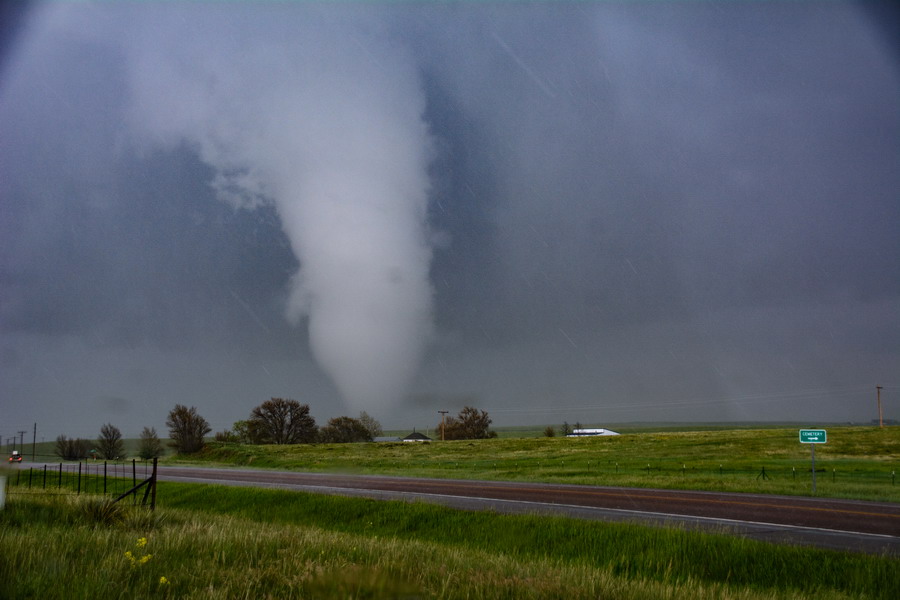
The rear flank downdraft (RFD) rain wrap is heading towards us so after the second tornado lifts we move quickly west and south - not far from the first spot. By then another cone tornado with needle has formed. We soon get splattered by some small hail but the scene is incredible and it doesn't matter. This funnel lifts for a short while before dropping again for touchdown number 4.
The collar cloud from the mesocyclone is right overhead and the RFD is closing in again so time to move once more. This tornado lifts. By the time we do a short move west a large cone has formed.
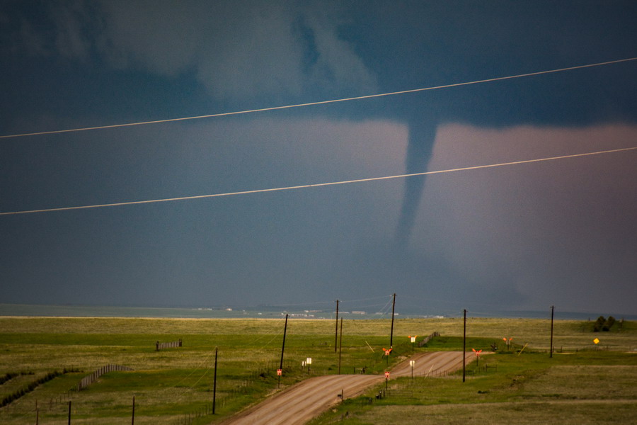
There are still bits of rain and hail, which get larger with some golf ball sized stones in the mix. From the first tornado occurring the storm starting moving more SE so we now have to move a fair bit west then south to get around into position again (we are west of the storm). We soon spot tornado number six in the distance to the east. It looks like a landspout type from our position but not sure.
Dust from the ground gets drawn up into the funnel. Onwards with various east and south jogs. There are two mesos apparent at this time again. We are focusing on the SE one when one to the west drops a brief cone tornado. A massive beaver tail forms with crazy updraft structure but this is about the time the storm begins to dissipate - over 5 hours of enjoyment from it.
Meanwhile an LP supercell with barber pole updrafts had gone up to its NW. We watched this into sunset when it rapidly collapsed.
Motel at Limon where a hailstorm hits at about 12.30am. A great way to finish the journey.
Michael Bath.
More photos and the tornado timeline available here: Simla Matheson Colorado Supercell and Tornadoes

