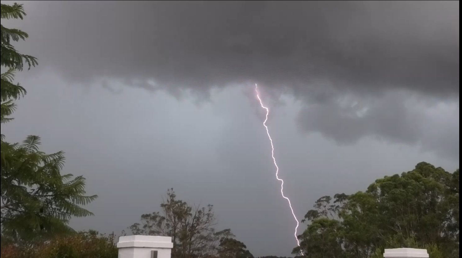
The storms of Sunday afternoon across Western Sydney are amongst the best that I have seen in a few years across the Sydney region with at least 5 thunderstorm cells being documented for the day.
Sunday started out similar to Friday in which weather plots and maps were reviewed prior to leaving for the day. I was in regular contact with Jimmy throughout the morning and as midday approached, weak cells developed to the west and southwest of Sydney. At first the storms remained disorganized and relatively weak.
It was only after 1 pm did thunderstorms become stronger and more organized for the day. Jimmy arrived from his meeting and we were soon headed for the early storms that were building to the outer southwest of Sydney.
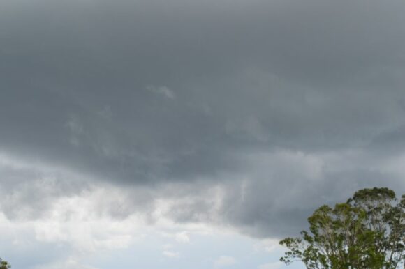
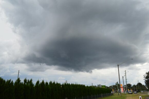
The route taken included the M7 then the M31 Motorway to Hilltop where we investigated a thunderstorm that was clearly in the final stages of weakening. After taking a few photos, we headed back to Blacktown as a thunderstorm cell had developed within a boundary where northeast and northwest winds were colliding.
The storm broke over Blacktown and Doonside which produced a substantial downpour over the area. My rain gauge at Doonside recorded 14.8 mm from this event. Several cloud to ground lightning strikes were observed as we approached the intersection of the M7 and M4 Motorways.
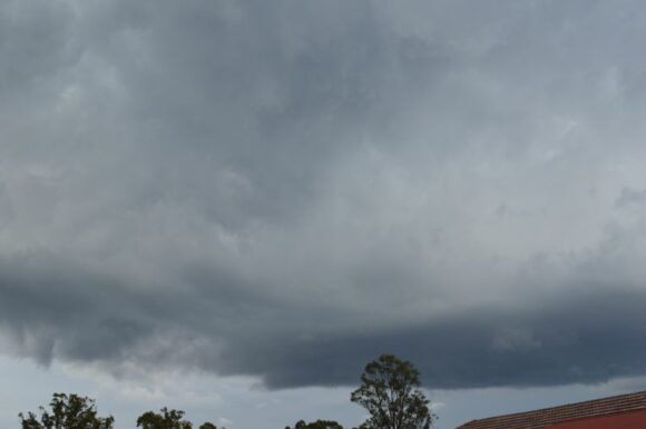
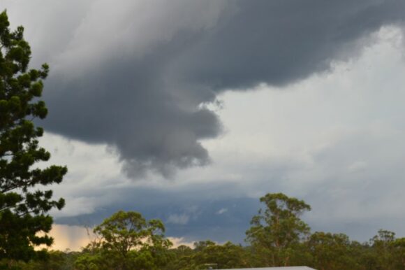
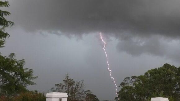
Upon leaving the M7 Motorway, we drove onto Richmond Road and stopped at a good location to view the nearby storm. While a new storm base was forming to our west which started to take on a circular shape, the storm to the east produced some significant cloud to ground lightning strikes. Some were relatively close making it dangerous to be outside.
The new storm to the west finally broke with a burst of heavy rain and probable hail coming through the cloud. We then drove northwest through Marsden Park skirting the main rain core then south towards St Marys and later west towards Llandilo. We stopped again to observe a new thunderstorm that broke which had similar characteristics to the first storms. This too was accompanied by strong cloud to ground lightning strikes.
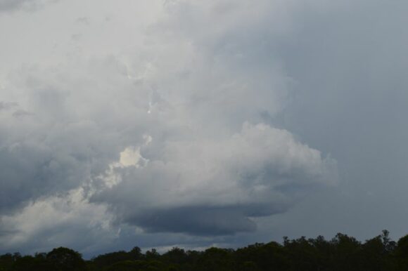
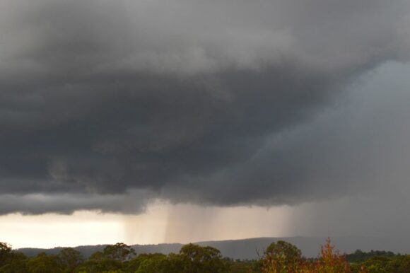
A new storm formed further west and given location, we were able to get directly underneath the base to experience the core including some hail that fell. Again, this storm produced several strong cloud to ground lightning strikes.
While the storm was weakening, we left the area and traveled north to Richmond to investigate a new area of convection and yet another thunderstorm. This proved to be the highlight of the day. We were stopping regularly to take photos of the cloud structure that were forming.
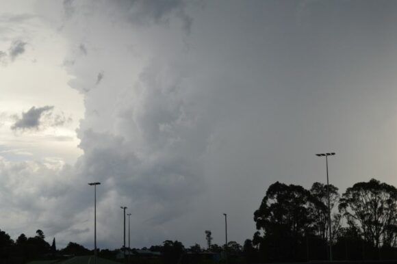
This was perhaps the best thunderstorm that I have seen over Western Sydney in years.
The cloud produced a green tinge as well as several powerful cloud to ground lightning strikes. The storm reached peak intensity over Blaxland Ridge / Kurmond and Kurrajong Hills before slowly weakening in intensity.
Numerous photos were taken across the affected area of both the cloud base and cloud structure.
After approximately 7.30 pm with storms weakening, Jimmy and I concluded the chase.
The photos attached highlight the various storms that impacted Western Sydney for the afternoon.
The storms for the day were part of a much broader weather system impacting eastern New South Wales where storms were commonplace across a wider region.
Separate storm cells impacted the Southern Highlands, Southern and Central Tablelands and Southwest slopes where Albury Airport (Southwest slopes of New South Wales) received 31 mm in less than 22 minutes being one of the more significant events for the day for areas outside Sydney.
This event continued a thunderstorm outbreak that commenced Friday which is documented in a separate post.
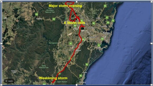
I have attached a map showing the route taken. This was a relatively short chase with less than 300 km being driven for the day.
