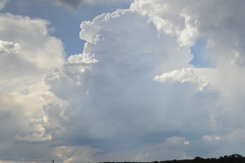
Following considerable analysis of weather models at home, I was convinced that enough evidence existed for the development of afternoon showers and thunderstorms across the Southern and Central Tablelands. In this regard, I was paying close attention to the day’s events.
I wanted to see convection occurring first before I headed out to avoid a repeat of Wednesday 1 January 2025. I contacted Jimmy who looked into this more closely and enough evidence existed to warrant closer attention. While we were taking, convection had initiated after 11 am across the ranges to the west.
I went out and collected Jimmy and then we made our way south towards the Southern Highlands. During our drive south, convection was maintained across the ranges and the first cumulonimbus cloud towers developed.
We made our way to a Shell Service Station near Exeter to refuel then waited as a thunderstorm broke just to our north. At the same time, another two thunderstorm cells initiated to the south and southwest that were of interest.
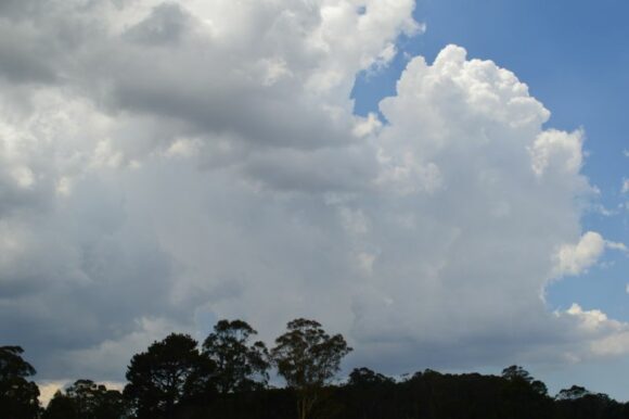

While we were moving east to west and back and fourth along Sallys Corner Road, it was noted that the thunderstorm cells continued to develop and intensify. At one stage, I observed three cloud to ground lightning strikes from the cell just to the north.
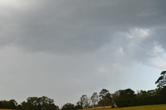
Upon reaching Bundanoon, a stronger thunderstorm cell developed just to north and northeast which included the base. We were able to get close even to a point where large raindrops were experienced but no hail.
The storm was severe warned by the Bureau of Meteorology for localized heavy rain and damaging wind.

I have attached a hail swathe plot attributed to Weatherwatch Anthony Cornelius (Saturday 4 January 2025) showing the likely hail swathe produced by the thunderstorm.
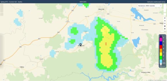
It would appear that the largest hail fell to the east of Bundanoon within the escarpment and hills. An attempt was made to intercept this along Rockleigh Road but were eventually met with a closed gate with a biosecurity sign attached forcing us to turn around and let the storm go.
We made our way back towards Bundanoon then Exeter where we were in and out of heavy rain and even the occasional hail stone. We eventually intercepted a hail event just to the south of Exeter where it would appear hail stones were in the range of pea size to 1 cm.
The storms eventually collapsed so we made our way towards Marulan where a new line of storms formed to our west and south. The new thunderstorms had potential for development but we called the chase over at around 6 pm as most of the new cells were moving into an unfavourable environment and began to weaken.
We returned to Sydney via the Hume Freeway. I attach a plot showing the route taken for the chase which is highlighted in red. The distance traveled was approximately 439 km for the day.
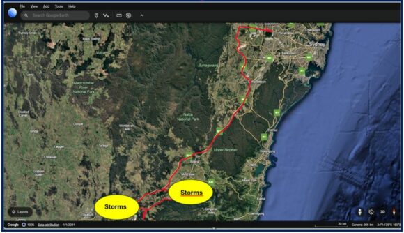
A few of the day’s thunderstorms became severe warned for heavy rain and damaging wind including a separate thunderstorm that occurred around Oberon (Central Tablelands) where at least 37 mm of rain fell in 30 minutes for a total of 57 mm. The cell was isolated to the Oberon Plateau and thus such heavy rainfall totals were limited to a small area. Further, it is possible that a hail event occurred from that storm event although to date, I am not aware of confirmed hail reports.
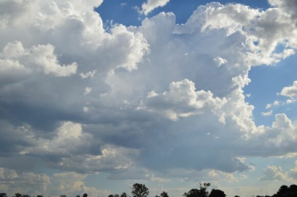
All photos attached were taken around Bundanoon and Marulan including the feature image.
