Following on from the thunderstorms of Sunday afternoon across Sydney, Wollongong and the Central Coast, Monday to Thursday was relatively quiet in terms of storm activity for the Sydney, Newcastle and Wollongong regions.
However, a weather system crossed through the state of New South Wales during Tuesday that brought showers and thunderstorms at least to the southwest inland of the state.
Another weather system brought further showers and storms to the state during Friday and Saturday. During Friday, most of the storm activity stayed to the south and west of Sydney with storms occurring across the Central Tablelands, Southern Tablelands and Southwest Slopes. A strong thunderstorm brought 50 mm of rain around Lake Hume (East of Albury) with gale force winds causing damage during Friday afternoon.
A very isolated brief thunderstorm cell developed over northwest Sydney Friday afternoon. However, it was short lived and localized to Kellyville and parts of areas west of Blacktown City. The event brought 1 to 4 mm of rainfall across a very small area of northwest Sydney.
Substantial overnight thunderstorm activity occurred around the Canberra and Goulburn regions which brought rainfall as high as 65 mm at Mt Ginini (Southwest of Canberra) and 65 mm at Oaks Estate close to Canberra Airport.
At around 5.20 am Saturday morning, a rare early morning thunderstorm developed over Western Sydney which tracked eastwards across the city. The event brought a short period of moderate to heavy rainfall and occasional lightning. I was observing mainly sheet lightning with no cloud to ground strikes identified as the storm passed over.


Since 9 am Saturday, there has been further shower activity across Sydney while areas to the north and south experienced more settled conditions for much of the day.
For much of the morning period and into the afternoon, showers trained over Sydney until the weather system broke down after 2 pm. Rainfall totals from the event were uniform across the city ranging from 8.5 mm to 21 mm.
Some thunderstorm activity did develop late Saturday afternoon across parts of the South West Slopes, Snowy Mountains region and areas around Bathurst and Orange to the west of Sydney.
The heaviest rainfall to 9 am Saturday morning following the rain and storm events within New South Wales are:
- Oranmeir - 76 mm.
- Mt Ginini and Oaks Estate - 65 mm.
- Jingelic (Rural area of northeast Victoria adjacent to the Murray River) - 58 mm.
- Lake Hume - 53 mm.
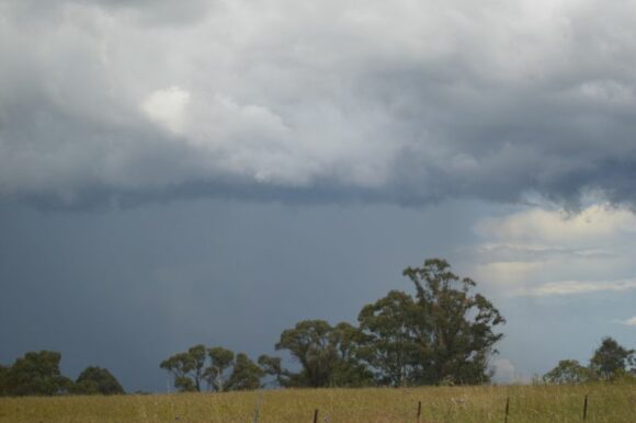
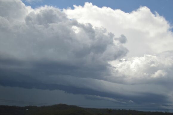
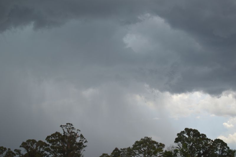
I have attached further images to the post taken Sunday afternoon given that the week Sunday 1 December to Saturday 7 December has been an active week for thunderstorm activity. The images taken show typical thunderstorm events being experienced across the state during the period.
