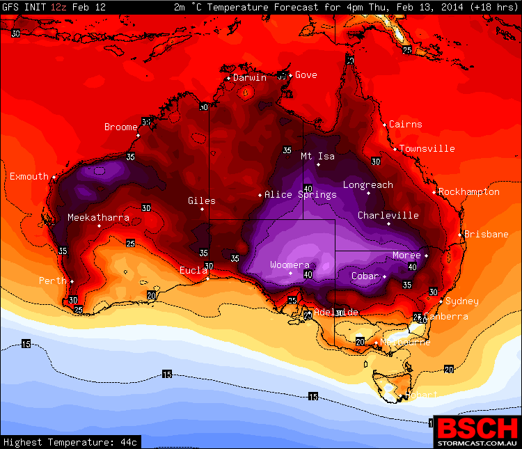
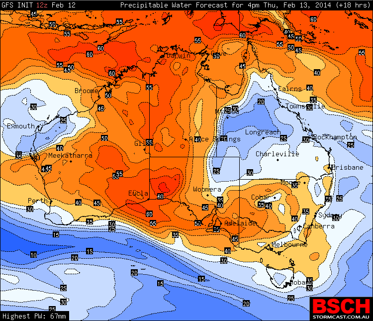
 The heat in central Australia is still evident particularly inland South Australia. The contrast between the heat and cooler conditions in the deserts can be attributed to the rain map! As the ex-tropical low breaks down the rain begins to head east in readiness to send at least some rain to eastern Australia. Farmers are now extremely desperate in all regions if NSW and Queensland in particular with regions going weeks at a time with heat and no rain. A major bushfire continues in South Australia having gone for weeks now. Hopefully the predicted rain douses this fire. Rain and flood warnings are current in parts of inland north Western Australia.

bushfires · drought
Rain and Heat Australia 13th February 2014
More storms near Woomera, SA
 Remarkable South Australia rainfall and floods – 22 to 24 January 2022
26 Jan 2022 · Outback South Australia
Remarkable South Australia rainfall and floods – 22 to 24 January 2022
26 Jan 2022 · Outback South Australia
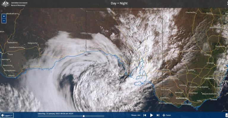 Remarkable South Australia heavy rainfall – 22 to 24 January 2022
22 Jan 2022 · Outback South Australia
Remarkable South Australia heavy rainfall – 22 to 24 January 2022
22 Jan 2022 · Outback South Australia
All storm reports from Woomera, SA →
Also on 13 February
 Late thunderstorm Outer Western Sydney – Monday 9 February 2026
13 Feb 2026 · Outer Western Sydney, NSW
Late thunderstorm Outer Western Sydney – Monday 9 February 2026
13 Feb 2026 · Outer Western Sydney, NSW
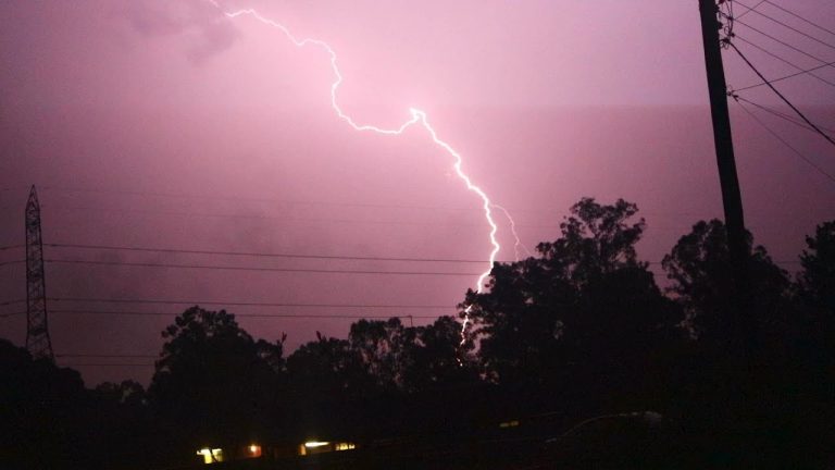 Extreme Lightning Show Sydney 27th January 2019
13 Feb 2019 · Sydney, NSW
Extreme Lightning Show Sydney 27th January 2019
13 Feb 2019 · Sydney, NSW
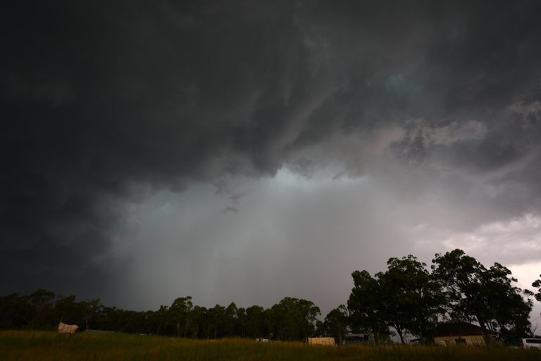 Friday Sydney storms. First a blackout stopped me from getting in and then this …
13 Feb 2019 · Sydney, NSW
Tornado video
13 Feb 2013 · Hattiesburg, MS
Friday Sydney storms. First a blackout stopped me from getting in and then this …
13 Feb 2019 · Sydney, NSW
Tornado video
13 Feb 2013 · Hattiesburg, MS
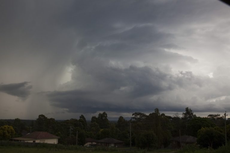 Structured severe storms 13th February 2012
13 Feb 2012 · Penrith, NSW
Re: 2010/11 Victorian storm chasing season so far – photo compilation
13 Feb 2011 · Victoria
Re: Lightning Photography video
13 Feb 2011
Re: Lightning Photography video
13 Feb 2011
Wettest week for some time – 200mm of rain
13 Feb 2008 · Sydney, NSW
Showers cleared – 60.4mm of rain
13 Feb 2007 · Sydney, NSW
Structured severe storms 13th February 2012
13 Feb 2012 · Penrith, NSW
Re: 2010/11 Victorian storm chasing season so far – photo compilation
13 Feb 2011 · Victoria
Re: Lightning Photography video
13 Feb 2011
Re: Lightning Photography video
13 Feb 2011
Wettest week for some time – 200mm of rain
13 Feb 2008 · Sydney, NSW
Showers cleared – 60.4mm of rain
13 Feb 2007 · Sydney, NSW
2 comments
Add a comment
You must be logged in to post a comment.
Less rain than expected in previous models in eastern NSW!
Rain is badly needed and much of northern NSW and inland Queensland are effectively in drought and mutterings of a possible new El Nino episode for 2014 does not help. If this rain can fall where it is needed most, then this will bring a reprieve from the big dry.
There have been some good articles in the media of recent days concerning the dry across New South Wales with the worst affected areas across the north west of the state, Northern Tablelands, Central West and far west.
Looking at general rain models, it appears that much of NSW will receive something but not enough to seriously break the big dry especially across the outback and the north west and totals may not be as high as initially expected.
Friday afternoon, rainfall across New South Wales is best described at patchy and light with many areas missing out.
To highlight that, the heaviest total across Sydney was no more than 2 mm including 2 mm around Seven Hills for the 24 hours to 9 am 14/2/2014.
As at 3 pm Friday afternoon, there are some useful rainfall totals around Mildura and Walpeup (Mallee of NW Victoria) of between 10 and 30 mm but the higher totals are very isolated and patchy (More like hit and miss) with large areas missing out.