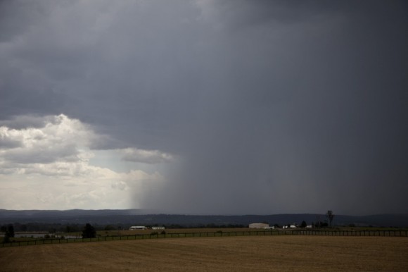
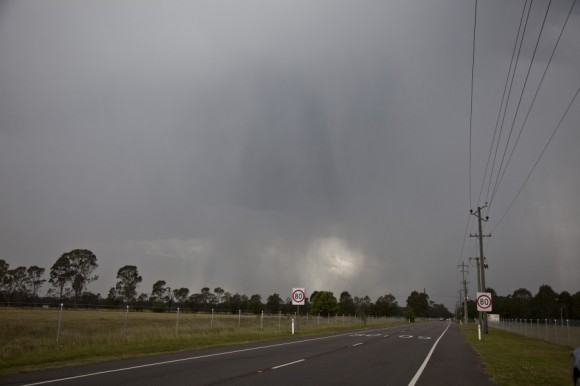
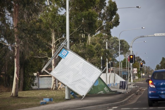
There was great certainty that storms would develop in the eastern NSW including the Sydney region. The issue were the dew point spreads being so great that bases of any storms developing were very high of the order of 3km in some cases. Storms in fact did develop southwest and west of Sydney as early as midday but once the storms reached well into the atmosphere they began to move rapidly! The first severe storms developed near Lithgow and approached from the northwest about 2pm producing the first microburst near Penrith. This storm moved extremely rapidly probably at a rate of 100km/h. This would have certainly assisted in the downward microbursts.
After having to let that storm race east, we turned around for the next storm line. Noting an outflow boundary, we neared this outflow boundary and then noticed that the storms intensified near this boundary. The second microburst occurred from near Londonderry and then rapidly moved east towards Blacktown Castle Hill and Parramatta.
Another line attempted to develop in the Sydney region but the moisture had been robbed by the previous line and the temperature had fallen to such an extent that the onset of the upper trough was not able to counter-act the intruding cold air aloft.
It was good to have chased with Harley and Colin and finally meeting with Shane on top of Rooty Hill. The lightning and heat had combined to produce more fires and we watched Elvis and another water bomber head towards the fires in the Blue Mountains.

Just added the video to the storm report on extreme storms – check here!
It was an enjoyable chase with Jimmy and Colin but it was a hard forecast to make.
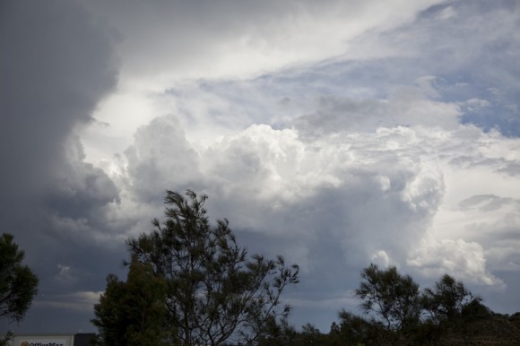
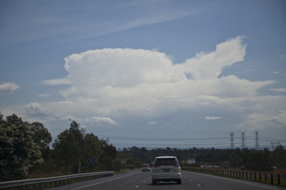
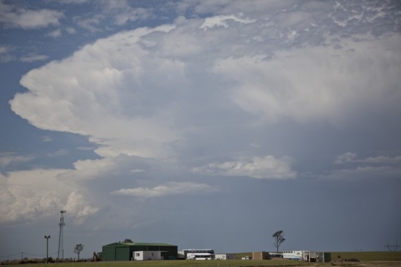
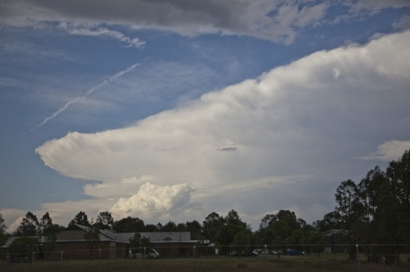
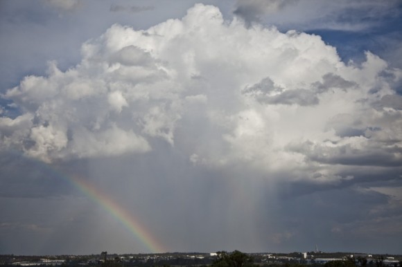
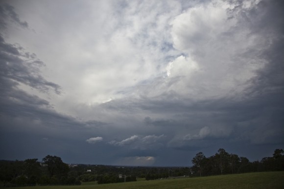
Here are a few photos of the day.
The storms were fast moving but generally did not produce significant rainfall. The highest rainfall occurred at Radio Station 103.2 FM at Seven Hills with 14 mm. This was followed by 9.8 mm at Canterbury (AWS), 8.5 mm at Blacktown Dog Pound and 8 mm at Greystanes.
There are many areas that received no rainfall such at Windsor and parts of Bankstown and many areas with 1 mm to 5 mm for the event.
The big issue for these storms was the wind. I have looked at some weather stations around Western Sydney specific to wind and the following is observed:-
Horsley Park:- A peak wind gust of 63 km/h is recorded at 2.17 pm and again at 2.23 pm.
Badgereys Creek:- A peak wind gust of 70 km/h is recorded at 2.14 pm.
Sydney Olympic Park:- A peak wind gust of 100 km/h is recorded at 3.58 pm and at 4 pm.
Penrith:- The weather station is situated on the northern side of the M4 Motorway close to the city centre. That station recorded a peak gust of 74 km/h from the first storm at 2.07 pm. It appears that it was not in the direct path of the cell that we drove through on the southern side of the M4, heading north along the Great Northern Road. I am unable to find the wind gusts that occurred in the area that we were driving through.
Notwithstanding this, the second storm that went through Penrith did produce a wind gust of 93 km/h at the same station at 3.32 pm.
I have read in the news that South Penrith and environs was hit quite hard by the winds with damage and a medical centre was damaged as well as a large area without power. This was evident by the number of traffic lights that were blacked out as we drove through the area.
I have also read in the news that a home in Lansvale suffered a lightning strike during the event.
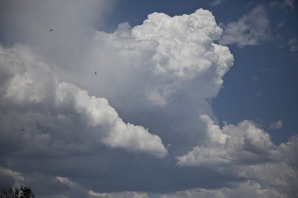
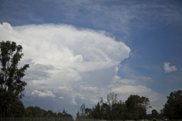
Here is a photo of a thunderstorm anvil cloud following the first storm looking north east.
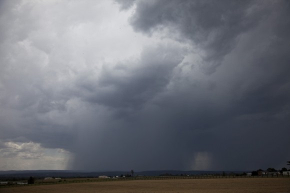
The shower moving towards us from Rooty Hill looking west. I was amazed that this cell produced so much rain considering its size.
It was a chase centred on western Sydney from Blacktown to Luddenham, then eventually to Richmond, then to Rooty Hill before it concluded.
These storms were very fast moving which made chasing difficult. It seemed to be a case where one would get one opportunity for any core punch.
As identified in the video posted by Jimmy, I was the driver but did not encounter any hail. However, when driving on the M4 towards the east, I did see white stones which appeared to be small hail on the grass verge at one point however there was no opportunity to stop and verify that. As a result, I do not know if that storm did or did not produce hail.
I did see some very good lightning strikes for a short period of time.
Overall, it was good to get out with Jimmy and Colin and later Shane and experience a thunderstorm event despite the high bases and it was enjoyable.
Thanks Harley for driving around on short notice and thanks also for joining us for dinner at the club.
Thanks Harley for driving around on short notice and thanks also for joining us for dinner at the club.
Had you carried on to Penrith and not turned onto the M4, you would have seen numerous trees down, roofs missing, colourbond fencing missing from a house near Dan Murphy's that was found over 150m away, stuck in trees. Yet just 1km further again to our place, there was no damage at all and was bone dry. In fact raised sun umbrellas were still standing in back yards.
Con Marathos November 3, 2014 at 10:08 pm
Great reports there Jimmy and Harley, that second storm hit Parramatta at 1545 and produced an intense microburst lifting a rear portion of a corrugated tin roof , carrying it a 100metres then hitting a power pole causing the flashes you see in the video at the 31 sec mark when the winds hit their peak and then dropping straight down into a front yard . Amazing to say the least . Certainly thankful no one was hurt.
https://www.youtube.com/watch?feature=player_embedded&v=4MszLaCvS8I